Muntele Mare
Muntele Mare (Romanian Vârful Muntele Mare, Hungarian Öreghavas) is a 1,826 m summit in the eastern part of the Apuseni Mountains (Western Romanian Carpathians). It is the highest point of the Muntele Mare group and, according to Romanian Wikipedia, the third-highest in all of Romania's Western Carpathians. The name literally means «Big Mountain». The summit lies near the border of Alba and Cluj counties; the nearest villages are Săgagea (about 6 km as the crow flies), Corțești and Muntele Cacovei.
Although the massif is often grouped with the neighbouring Bihor Mountains, Romanian Wikipedia stresses that Muntele Mare and the Gilău Mountains together form a distinct geomorphological unit – Gilău–Muntele Mare.
How to get there / routes
Muntele Mare is bounded by the Someșul Rece river to the north, the Feneș and Iara valleys to the east, the Arieș to the south and the upper Bistra and Someșul Rece to the west. OSM shows no waymarked path over the summit itself – the nearest route lies about 500 m away. The C.A.R. Muntele Mare refuge is marked about 2 km from the summit and can serve as a landmark. The sources give no walking times or distances, so plan the route with a detailed map.
Because of the gentle slopes and large flat areas of the summit plateau, it is easy to lose direction in fog, and parts of the surface are boggy – stick to paths and your map.
What you see from the summit
The sources do not describe the panorama. By position, the Bihor and Vlădeasa mountains should be visible to the west, the Gilău Mountains and the Someșul Rece valley to the north, and the Arieș valley to the south.
Nature and history
The massif is built of crystalline schists, which have produced heavy, massive landforms: broad interfluves separated by narrow, deep valleys. Its centre is occupied by an L-shaped granite body, and around the main summit, according to Romanian Wikipedia, the relief resembles a high-altitude plain, boggy over large areas. Although the altitude would allow it, the subalpine belt is poorly defined: because of the gentle slopes and oligotrophic bogs, many species are simply absent.
The slopes are covered by beech forest mixed with spruce, covering about 67% of the Iara valley; the rest is pasture and hay meadow. Besides the main summit, the group includes Neteda (1,784 m), Piatra Groșilor (1,756 m), Buscat (1,676 m), Dumitreasa (1,638 m) and Balomireasa (1,632 m). On the south-eastern edge of the massif, according to Hungarian Wikipedia, lie the well-known Turda and Tureni gorges.
Safety, season and rules
The summit is not very high, but it is exposed to wind and the weather on the plateau changes quickly. In winter snow hides the waymarks and the terrain, and it is easy to get lost on the flat plateau. In summer leave open ground at the first sign of a thunderstorm. Salvamont advises not to hike alone, to tell someone your route, to carry a map, compass, torch and charged phone, and to note where you last had signal.
Bears also live in the Apuseni Mountains. Stay on the marked paths, talk as you walk so that an animal hears you in advance, do not hike in the evening or at night and do not keep food in your tent. Sheepdogs near sheepfolds may rush at people – do not run, stop and shield yourself with your rucksack. In an emergency call the national dispatch 0SALVAMONT – 0725 826 668 or 112; advice on animal encounters is on the Salvamont România website.
Getting there from Ukraine
Border crossings
- Porubne – Siret — road and pedestrian, 24/7
- Diakivtsi – Racovăț — road and pedestrian, 24/7 No freight traffic.
- Krasnoilsk – Vicovu de Sus — road and pedestrian, 08:00–20:00 Cars up to 3.5 t and pedestrians only; not 24/7.
- Solotvyno – Sighetu Marmației — road and pedestrian, 24/7 Passenger traffic only: vehicles up to 3.5 t with up to 9 seats, pedestrians.
- Diakove – Halmeu — road, 24/7 No pedestrian crossing.
By car
Rakhiv – Cluj-Napoca ≈219 km, ≈3 h 44 min (via Solotvyno – Sighetu Marmației); Ivano-Frankivsk – Cluj-Napoca ≈353 km, ≈6 h 04 min (via Solotvyno – Sighetu Marmației); Chernivtsi – Cluj-Napoca ≈343 km, ≈6 h 28 min (via Krasnoilsk – Vicovu de Sus). Times without border queues, our road routing (GraphHopper, OSM).
Checked 03.11.2026; border crossing hours and timetables change — check before you travel.
Water and shelter nearby
- C.A.R. muntele Mare Hut1.9 km · Not verified · 1 679 m
- Spring below Vânătul (west slope)2.8 km · Not verified · 1 367 m
Comments
Nearby attractions
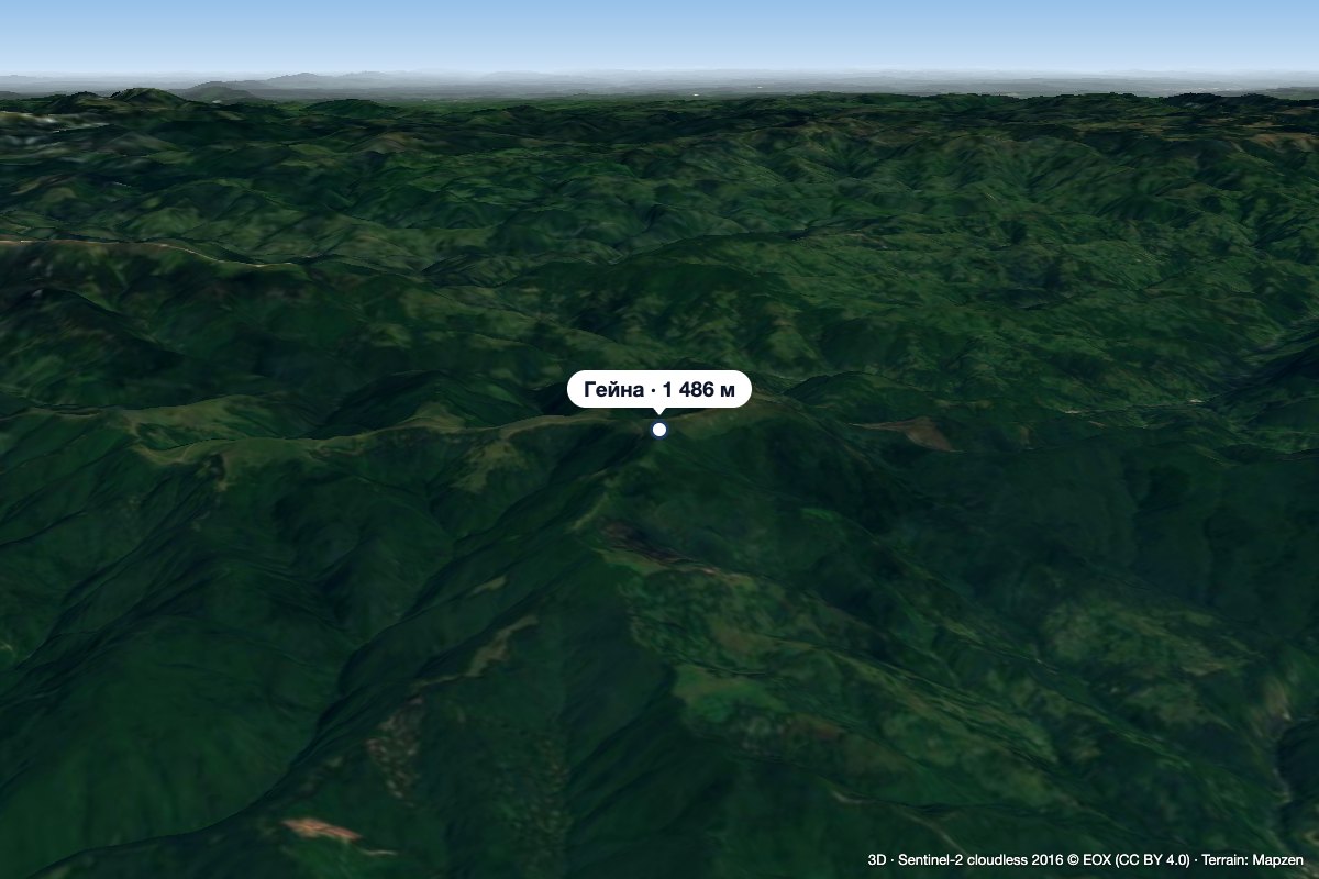 PeakGăinaGiurgeștialtitude 1 486 m41 km from Muntele MareGăina (Romanian Vârful Găina, Muntele Găina) is a 1,486 m summit, the highest point of the massif of the same name in the central Apuseni Mountains (Western Romanian...
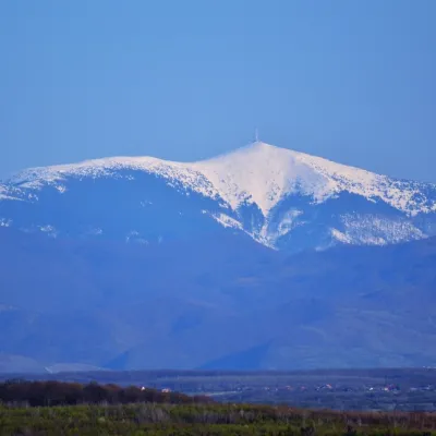 PeakCucurbăta MareBâlcaltitude 1 849 m42 km from Muntele MareCucurbăta Mare (Romanian: Vârful Cucurbăta Mare or Curcubăta Mare; also Bihor Peak, Romanian: Vârful Bihor; Hungarian: Nagy-Bihar) is the highest summit of the Bihor...
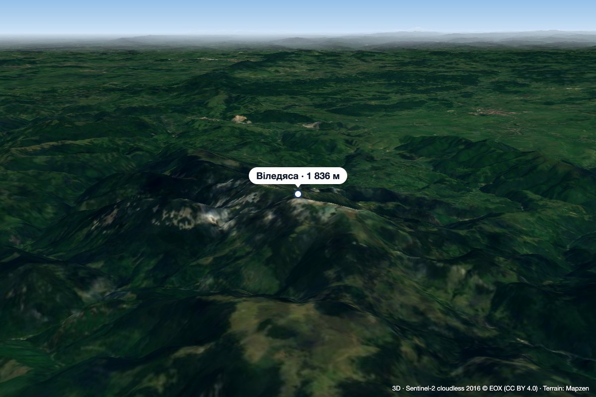 PeakVlădeasaRogojelaltitude 1 836 m45 km from Muntele MareVlădeasa (Romanian: Vârful Vlădeasa, Hungarian: Vigyázó-csúcs or Vlegyásza-csúcs) is the highest summit of the Vlădeasa Massif in the Apuseni Mountains (Western...
