Mihăilecu
Mihăilecu (Romanian Vârful Mihăilecu, also spelled Mihailecu on maps) is a 1,918 m summit in the Romanian part of the Maramureș Mountains, in the north of Maramureș County. It stands south-east of Farcău, the highest summit of these mountains, and the glacial Lake Vinderel lies in the saddle between them. Together they form the “Vârful Farcău – Lacul Vinderelu – Vârful Mihăilecu” nature reserve.
Mihăilecu is the high point of the rocky ridge of the same name, which drops steeply to the east in three glacial cirques. The nearest villages are Repedea and Poienile de sub Munte, both about 9.5 km away; they are old Ukrainian communities of the Ruscova valley.
How to get there / routes
The red stripe from the Coșnea forest hut to Lake Vinderel crosses the summit. According to muntii-nostri.ro it is about 11 km with more than 1,400 m of ascent, 4–5 hours of walking, best from April to October. The Coșnea hut stands at the end of the Luhi hamlet of Poienile de sub Munte. From it you go down the Ruscova valley to the mouth of the Paulic stream, cross the bridge and climb between farmsteads, past a spring under a rock, through beech forest and glades to the Stânișoara sheepfold at the upper forest edge. Then comes a plateau below the Mihăilecu spur, where waymarks are missing and care is needed, and a saddle where the ridge proper begins.
Along the ridge you walk over limestone rocks with karren and through juniper; from reaching the ridge to the summit takes about 45 minutes. From the top the path drops steeply to Lake Vinderel. Another approach is an unmarked but well-trodden path along the Rugașu ridge from Repedea, which, says muntii-nostri.ro, can be followed even in bad weather to just below Mihăilecu.
What you see from the summit
The trail description mentions views of the Farcău massif, Lake Vinderel and the Rugașu valley between the Rugașu ridge and the Mihăilecu crest. The cirques lie below the eastern cliffs; the sources give no fuller description of the panorama.
Nature and history
The three cliffs below the ridge have their own names – Groapa Lupilor (“Wolves’ Hollow”), Groapa lui Bologa and, below Farcău, Groapa Julii. The 100-hectare reserve was declared in 2000; according to Romanian Wikipedia its meadows hold edelweiss, narrow-leaved cotton grass, bog bilberry, alpine hawkweed and Heuffel’s crocus. Lake Vinderel, says the park guide, lies at 1,645 m and covers 0.71 ha – the largest lake in the park; local legend says that whoever stirs its water may call up a storm.
The reserve is part of the Maramureș Mountains Natural Park, created in 2005. The park guide names inaccessible rocky slopes such as Piatra Socolău near the route as refuges of the lynx. Sheepfolds lie along the path, and intensive grazing has left many sheep tracks on the slopes that are easy to confuse with the marked one.
Safety, season and rules
Under the park rules, entry is allowed only after paying the visitor fee set by the administration; walking only on marked paths, tents and fires only in designated places, no feeding of wild animals, dogs on a lead and no bathing in the lakes (park visiting rules). Salvamont advises checking the forecast for the next 24 hours, not going alone, telling family your route, carrying a map, compass, torch, enough water and a charged phone, and leaving the open ridge at once if a thunderstorm comes. In winter, says muntii-nostri.ro, the crossing from the lake to Farcău over open alpine ground is exposed to avalanches, and snow hides the waymarks.
Bears are common in these mountains. Stay on the marked paths, call out as you walk, do not hike in the evening or at night, do not keep food in your tent and store it away from your camp. Sheepdogs near sheepfolds may rush at hikers – do not run, stop and shield yourself with your rucksack. In an emergency call the national dispatch 0SALVAMONT – 0725 826 668 or 112; advice on animal encounters is on the Salvamont România website.
Getting there from Ukraine
Border crossings
- Porubne – Siret — road and pedestrian, 24/7
- Diakivtsi – Racovăț — road and pedestrian, 24/7 No freight traffic.
- Krasnoilsk – Vicovu de Sus — road and pedestrian, 08:00–20:00 Cars up to 3.5 t and pedestrians only; not 24/7.
- Solotvyno – Sighetu Marmației — road and pedestrian, 24/7 Passenger traffic only: vehicles up to 3.5 t with up to 9 seats, pedestrians.
- Diakove – Halmeu — road, 24/7 No pedestrian crossing.
By car
Rakhiv – Borșa ≈116 km, ≈2 h 24 min (via Solotvyno – Sighetu Marmației); Chernivtsi – Borșa ≈179 km, ≈3 h 50 min (via Krasnoilsk – Vicovu de Sus); Uzhhorod – Borșa ≈241 km, ≈4 h 27 min (via Solotvyno – Sighetu Marmației). Times without border queues, our road routing (GraphHopper, OSM).
Checked 03.11.2026; border crossing hours and timetables change — check before you travel.
Water and shelter nearby
- Spring (Repedea), 1 537 m2.9 km · Not verified · 1 537 m
- Spring (Repedea), 1 509 m3 km · Not verified · 1 509 m
Wildlife nearby
AllComments
Nearby attractions
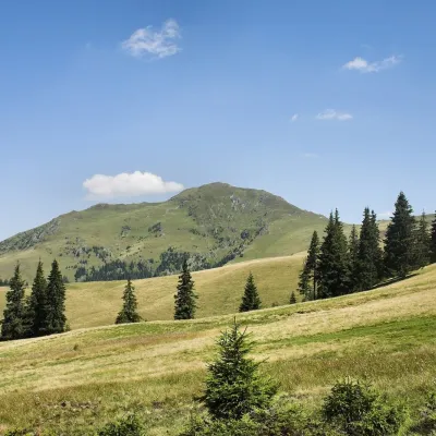 PeakFarcăualtitude 1 961 m · Marmarosh range1.9 km from MihăilecuFarcău (Romanian Vârful Farcău) is the highest summit of the Romanian part of the Maramureș Mountains, 1,961 m high according to OSM and Wikidata; Romanian Wikipedia...
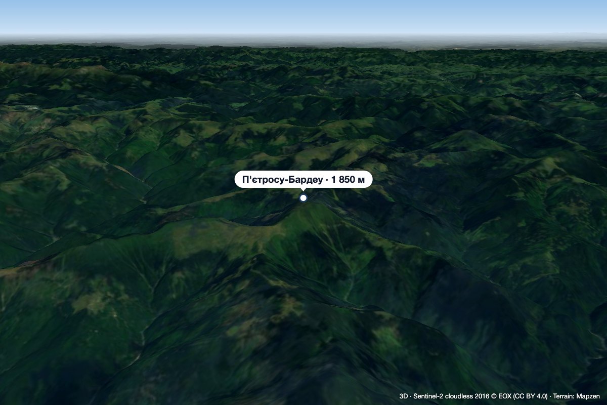 PeakPietrosu Bardăualtitude 1 850 m · Marmarosh range14 km from MihăilecuPietrosu Bardău (Romanian Vârful Pietrosu Bardău, also Pietrosul Bardăului) is a 1,850 m summit in the Romanian part of the Maramureș Mountains, in the north of...
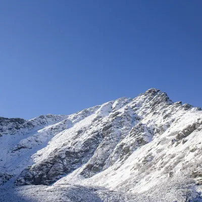 PeakPietrosul RodneiMoiseialtitude 2 303 m37 km from MihăilecuPietrosul Rodnei (Romanian Vârful Pietrosul Rodnei, also Pietrosu) is a 2,303 m summit, the highest point of the Rodna Mountains and of the entire Eastern Carpathian...
