Iezeru Mare
Iezeru Mare (Romanian Vârful Iezeru Mare, also Iezerul Mare) is a 2,463 m summit in the Iezer-Păpușa Mountains, in Argeș County. According to Romanian Wikipedia it is the second-highest peak of the massif, after neighbouring Roșu (2,469 m). The name means “Big Lake”: below the summit, in a glacial cirque at 2,135 m, lies Lake Iezeru Mare, which Romanian Wikipedia describes as a cirque guarded by bare, wild ridges.
The Iezer-Păpușa Mountains lie south of the Făgăraș, between the Dâmbovița river to the east and the Râul Doamnei to the west; the Mezea–Oticu ridge links them to the Făgăraș. Inside the massif stands the Râușor dam with its reservoir. Iezeru Mare rises in the northern, highest part of the main ridge, next to Roșu and Iezeru Mic (2,409 m), and further east the ridge runs on to Păpușa.
How to get there / routes
The main base for hikes is the Voina hut in the south of the massif. From there, according to OSM, a red-stripe loop runs over Iezeru Mare and Păpușa and back to the hut; it follows the main ridge close to the summit.
The shortest climb to the lake and the ridge is described by Munții Noștri. From the Voina hut you walk up the Bătrâna valley to where the Iezer stream joins it. Here the blue-cross route turns right and zigzags up the Iezeru Mare spur, first through forest, then through tall grass and higher up along a rocky crest to the alpine zone with the Iezer shelter; the lake lies a few dozen metres south of it. From there the path climbs steeply to the main ridge near the Ateneu Cross (Crucea Ateneului). This takes about 4.5 hours with 1,400 m of ascent. The alternative is the blue-dot path up the Iezer stream valley, through dwarf pine and over two glacial steps to the same shelter – about 5 hours. Both paths start on the very steep wooded slopes of Muntele Văcarea.
From the Ateneu Cross, the same source says, you see Iezeru Mare close by with Roșu beside it. From there you can continue along the ridge or descend via Iezeru Mic and Piscul Caprei to the Brătila valley, or over Muntele Păpău to the Râușor valley.
What you see from the summit
The sources do not describe the view from the summit itself. By its position, the main Făgăraș ridge should be visible to the north beyond the massif, with the cirque of Lake Iezeru Mare below the northern slopes. Munții Noștri notes that from the nearby ridge you can also see the effects of large-scale logging in the massif.
Nature and history
Lake Iezeru Mare (Munții Noștri calls it Lake Iezer) is the jewel of the northern part of the massif; on the other side of the ridge, below Roșu, lie two smaller lakes, the Boarcăș lakes. The upper mountains are alpine meadows and rock, lower down come dwarf pine and conifer forest, and below that the woods of the Bătrâna and Văcarea valleys. On the way to the shelter Munții Noștri describes a stretch of wind-thrown trees and dwarf pine on the first glacial step.
Safety, season and rules
Munții Noștri advises doing the blue-cross route in winter only with proper winter mountaineering equipment; snow hides the waymarks, and the slopes and valleys below the ridge are prone to avalanches – follow the bulletin at meteoromania.ro. In heavy rain the footbridges over the Bătrâna valley can be washed away, so check their state before you set out. In summer beware of thunderstorms on the open ridge.
Bears live in the Iezer-Păpușa, and flocks graze the high pastures. Stay on marked paths, call out, do not keep food in your tent and do not run from sheepdogs near sheepfolds – shield yourself with your rucksack. Ask the local administration about the protection status of the massif. In an emergency call the national dispatch 0SALVAMONT – 0725 826 668 or 112; advice is on the Salvamont România website.
Getting there from Ukraine
Border crossings
- Porubne – Siret — road and pedestrian, 24/7
- Diakivtsi – Racovăț — road and pedestrian, 24/7 No freight traffic.
- Krasnoilsk – Vicovu de Sus — road and pedestrian, 08:00–20:00 Cars up to 3.5 t and pedestrians only; not 24/7.
- Solotvyno – Sighetu Marmației — road and pedestrian, 24/7 Passenger traffic only: vehicles up to 3.5 t with up to 9 seats, pedestrians.
- Diakove – Halmeu — road, 24/7 No pedestrian crossing.
By car
Chernivtsi – Bușteni ≈426 km, ≈7 h 32 min (via Diakivtsi – Racovăț); Rakhiv – Bușteni ≈454 km, ≈8 h 01 min (via Solotvyno – Sighetu Marmației); Uzhhorod – Bușteni ≈557 km, ≈9 h 15 min (via Diakove – Halmeu). Times without border queues, our road routing (GraphHopper, OSM).
Checked 03.11.2026; border crossing hours and timetables change — check before you travel.
Water and shelter nearby
- Spring below Iezeru Mare520 m · Not verified · 2 188 m
- Spring below Capul Cățunului (east slope), 2 141 m770 m · Not verified · 2 141 m
- Iezer Hut, 2 125 m780 m · Not verified · 2 125 m
- Spring below Capul Cățunului (east slope), 2 154 m830 m · Not verified · 2 154 m
Wildlife nearby
AllComments
Nearby attractions
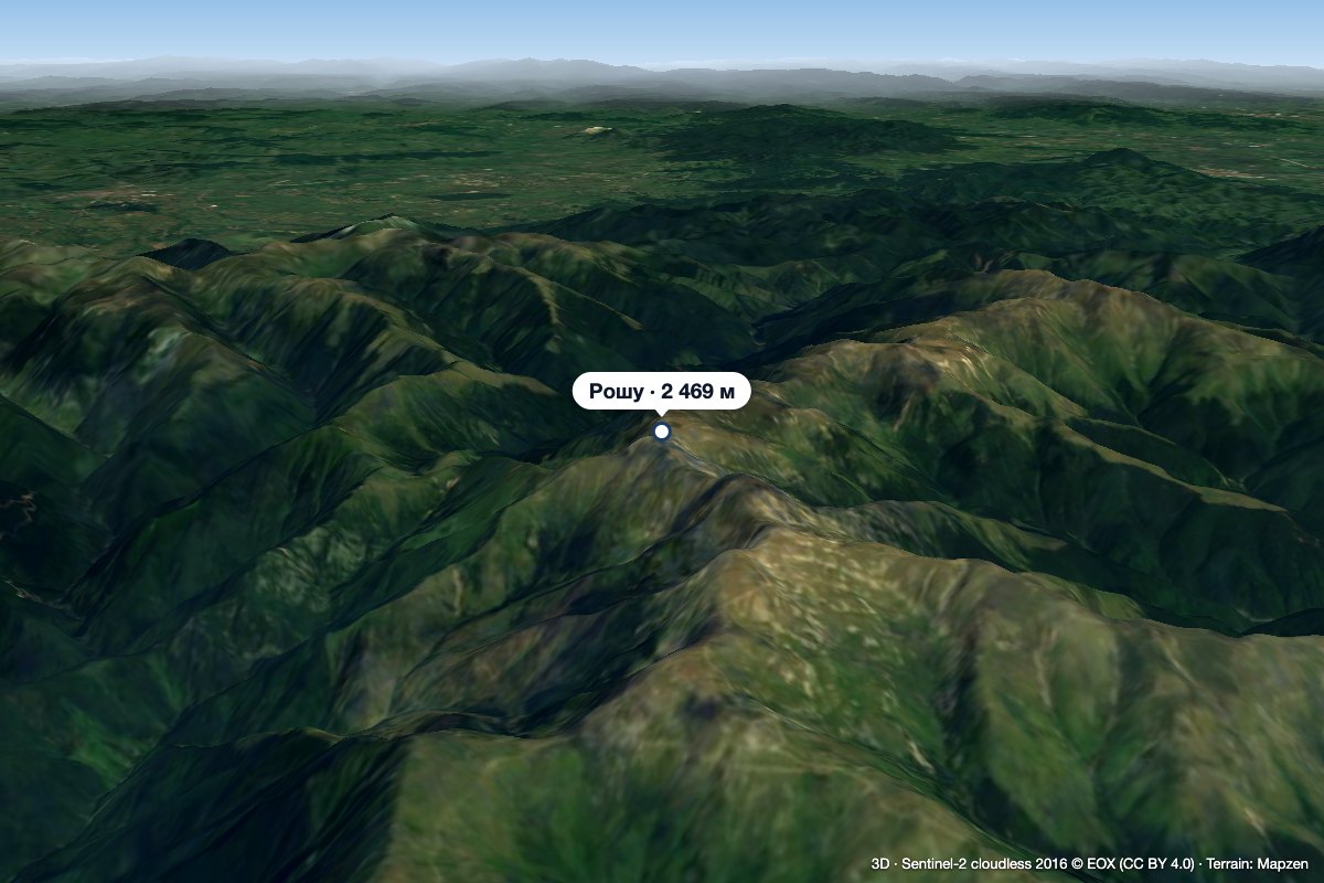 PeakRoșu (Iezer-Păpușa)altitude 2 469 m1.1 km from Iezeru MareRoșu (Romanian: Vârful Roșu, «the Red Peak») is the highest summit of the Iezer-Păpușa Mountains in the Southern Carpathians, 2,469 m above sea level (2,470 m on...
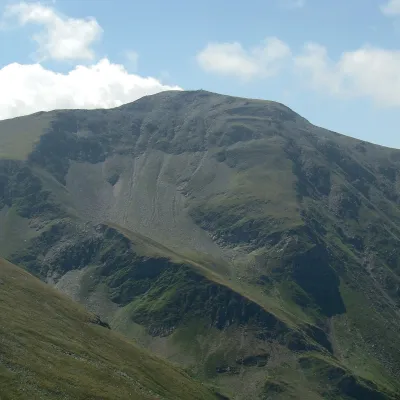 PeakDaraaltitude 2 500 m17 km from Iezeru MareDara (Romanian: Vârful Dara, Hungarian: Dara-csúcs) is a summit of about 2,500 m in the eastern part of the Făgăraș Mountains in the Southern Carpathians.
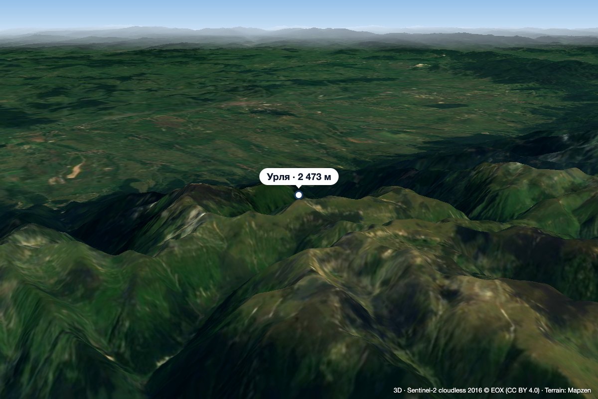 PeakUrleaStațiunea Climaterică Sâmbătaaltitude 2 473 m18 km from Iezeru MareUrlea (Romanian Vârful Urlea) is a 2,473 m summit in the eastern part of the Făgăraș Mountains, on the border of Brașov and Argeș counties.
