Farcău
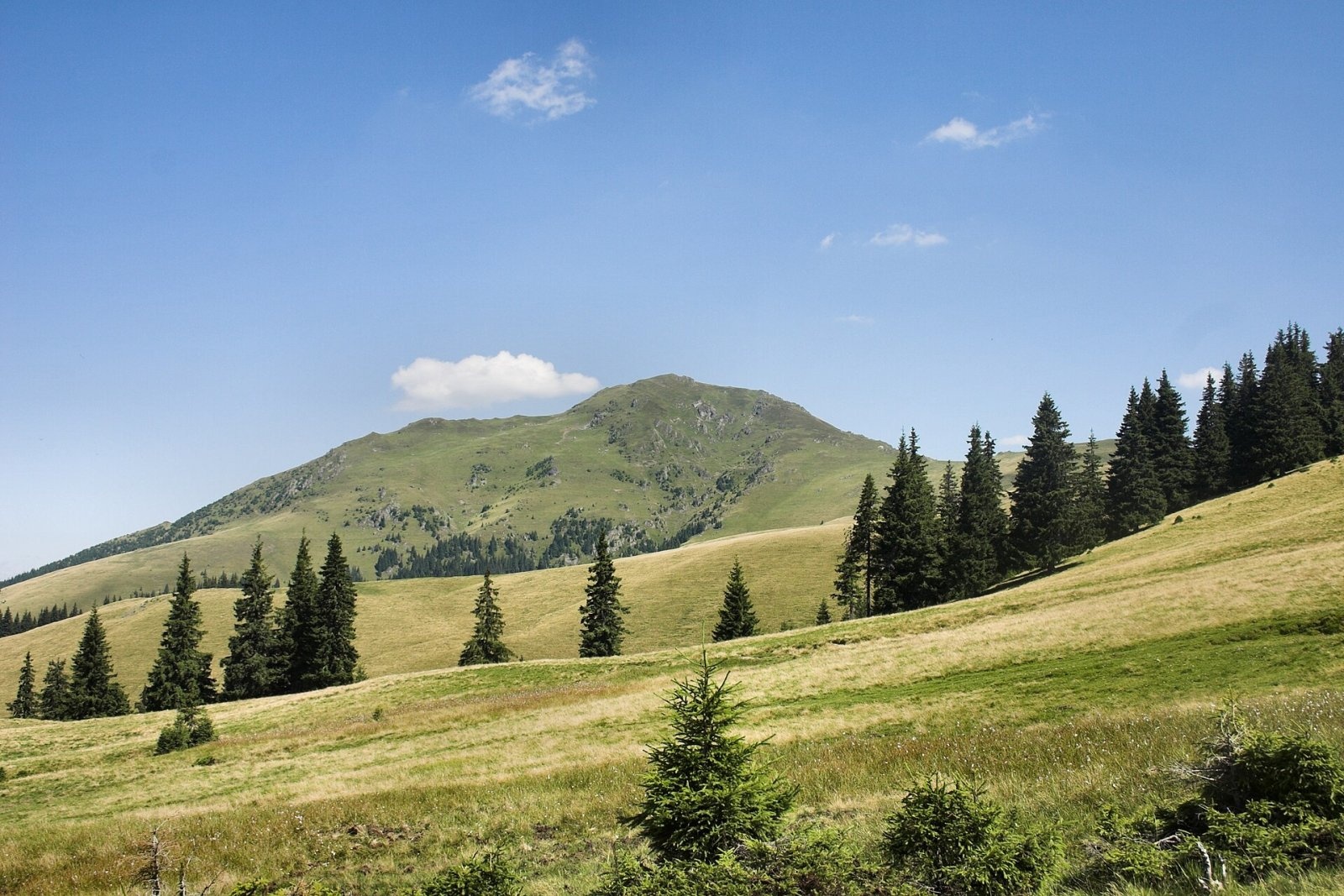
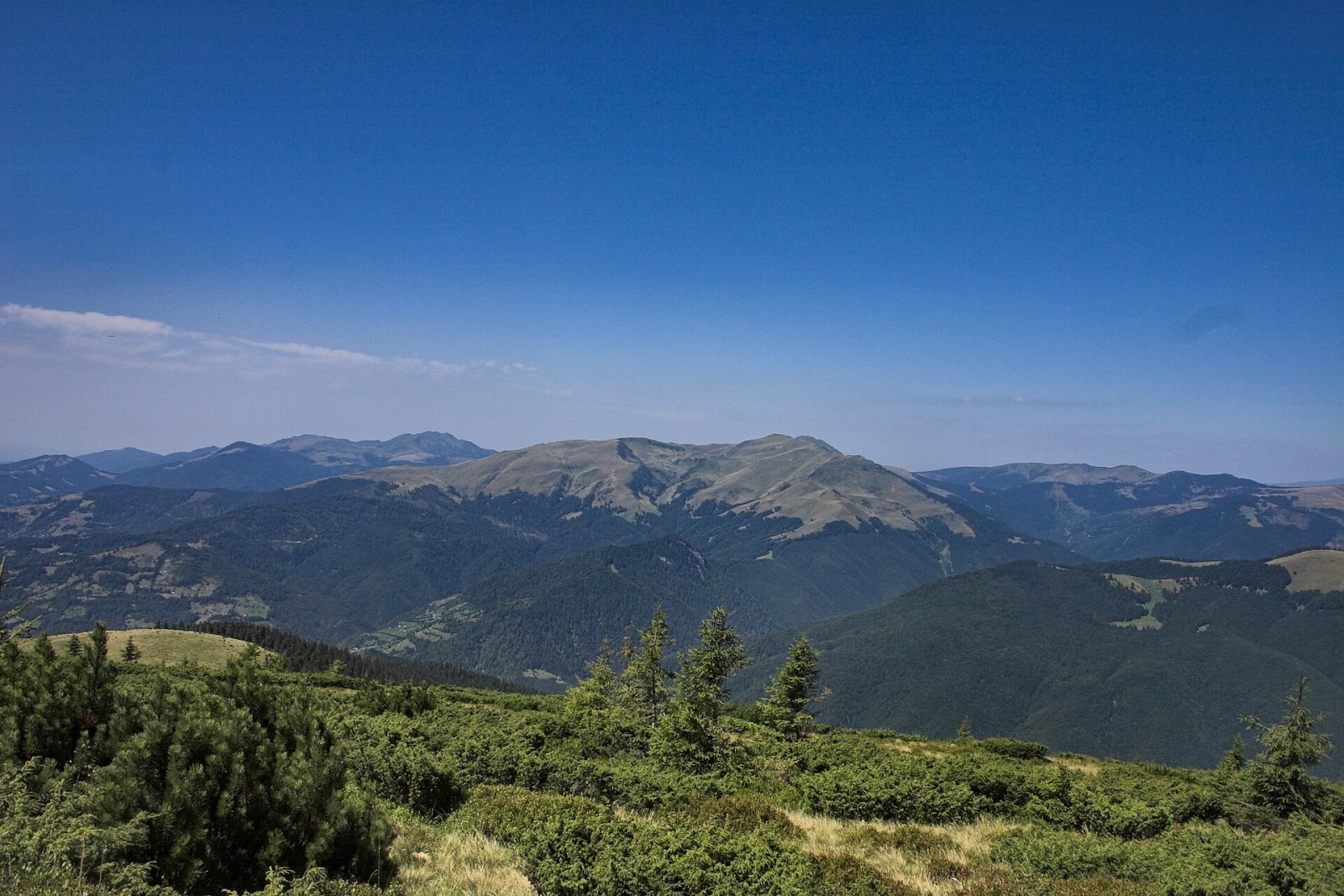
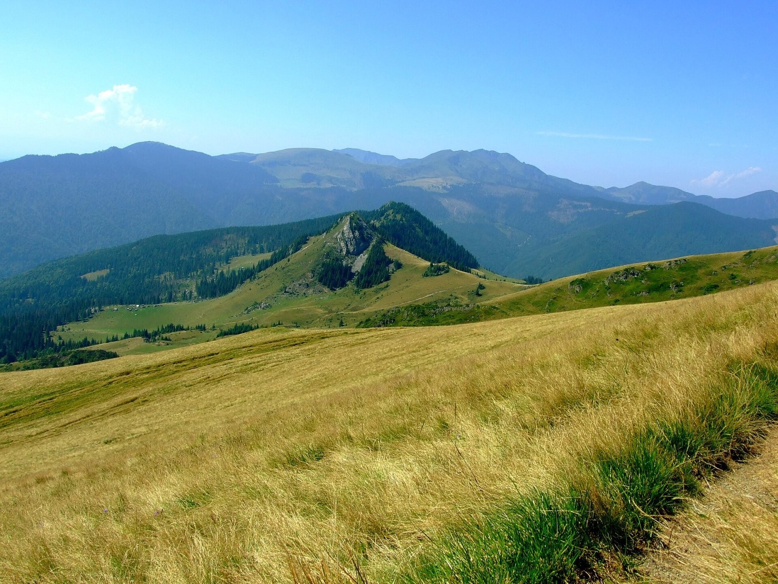
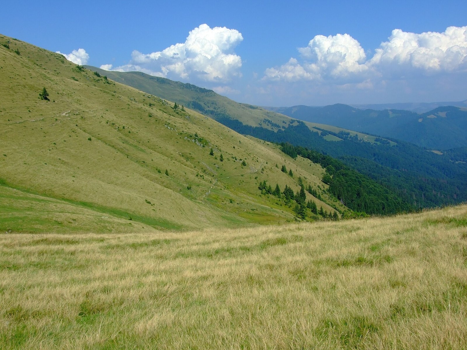
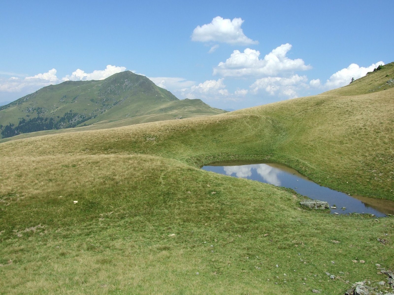
Farcău (Romanian Vârful Farcău) is the highest summit of the Romanian part of the Maramureș Mountains, 1,961 m high according to OSM and Wikidata; Romanian Wikipedia and the natural park guide give an older figure of 1,957 m. The mountain stands in the north of Maramureș County, on a spur running south from the border ridge with Ukraine. According to Czech Wikipedia it lies about 11 km north of the village of Poienile de sub Munte and 24 km north of the town of Vișeu de Sus.
The grassy summit offers an all-round view. Between Farcău and the neighbouring Mihăilecu peak (1,918 m) lies the glacial Lake Vinderel, and the mountain, the lake and that peak together form a 100-hectare nature reserve. The nearest villages are Repedea (about 10.5 km) and Poienile de sub Munte (about 11 km); both, like the whole Ruscova valley, are old Ukrainian communities of Maramureș.
How to get there / routes
Czech Wikipedia says marked paths lead to the summit from the villages of Repedea and Luhi. The muntii-nostri.ro trail sheets describe three routes to Lake Vinderel just below the top. The shortest is the blue stripe from Repedea via Muntele Pietriceaua: about 12.4 km with more than 1,300 m of ascent, 4–6 hours. It first follows the road up the Repedea valley to the forest lodge, then a forest road to the sheepfolds below the Pietriceaua ridge; higher up the waymarks are faded and very sparse, so navigation is difficult. A second blue stripe from Repedea runs below the Chicera and Rugașu ridges (about 11 km, 4–6 hours), with an easier unmarked variant up the Pentaia valley. The third option is the red stripe from the Coșnea forest hut over Mihăilecu peak (about 11 km, more than 1,400 m of ascent).
From the lake you climb to Farcău across open alpine ground. All three sheets warn of avalanche risk below the summit, and in winter this crossing is dangerous.
What you see from the summit
Czech Wikipedia notes the all-round view from the grassy top. Wikimedia Commons has photos taken from the massif eastwards to Pop Ivan on the Ukrainian border. Glacial cirques lie below the northern slopes, with Lake Vinderel further down; the sources give no more detailed description of the panorama.
Nature and history
The “Vârful Farcău – Lacul Vinderelu – Vârful Mihăilecu” reserve was declared in 2000; it is an IUCN category IV area on the land of Repedea and Poienile de sub Munte communes. It protects glacial landforms – the Groapa Julii, Groapa Lupilor and Groapa Bologhii cirques – and mountain meadows with edelweiss, narrow-leaved cotton grass, bog bilberry, alpine hawkweed and Heuffel’s crocus. According to the park guide, Vinderel lies at 1,645 m, covers 0.71 ha and is the largest lake in the park; a local legend says that whoever stirs its water may call up a storm.
The reserve is part of the Maramureș Mountains Natural Park, created in 2005 and the largest park in Romania. Poienile de sub Munte has a wooden Church of the Ascension built in 1798.
Safety, season and rules
Under the park rules, entry is allowed only after paying the visitor fee set by the park administration; walking is permitted only on marked paths, tents and fires only in designated places, feeding wild animals is forbidden, dogs must be kept on a lead and bathing in mountain lakes is not allowed (park visiting rules). Salvamont advises checking the forecast for the next 24 hours, not going alone, telling family your route, carrying a map, compass, torch, enough water and a charged phone, and leaving the open ridge at once if a thunderstorm comes. In winter snow hides the waymarks and the slopes below the summit are prone to avalanches.
Bears are common in these mountains. Stay on the marked paths, call out as you walk, do not hike in the evening or at night, do not keep food in your tent and store it away from your camp. Sheepdogs near sheepfolds may rush at hikers – do not run, stop and shield yourself with your rucksack. In an emergency call the national dispatch 0SALVAMONT – 0725 826 668 or 112; advice on animal encounters is on the Salvamont România website.
Photos: Martin Kozák, Public domain; Martin Kozák, Public domain; Aktron, CC BY-SA 3.0; Aktron, CC BY-SA 3.0; Aktron, CC BY-SA 3.0 — Wikimedia Commons.
Getting there from Ukraine
Border crossings
- Porubne – Siret — road and pedestrian, 24/7
- Diakivtsi – Racovăț — road and pedestrian, 24/7 No freight traffic.
- Krasnoilsk – Vicovu de Sus — road and pedestrian, 08:00–20:00 Cars up to 3.5 t and pedestrians only; not 24/7.
- Solotvyno – Sighetu Marmației — road and pedestrian, 24/7 Passenger traffic only: vehicles up to 3.5 t with up to 9 seats, pedestrians.
- Diakove – Halmeu — road, 24/7 No pedestrian crossing.
By car
Rakhiv – Borșa ≈116 km, ≈2 h 24 min (via Solotvyno – Sighetu Marmației); Chernivtsi – Borșa ≈179 km, ≈3 h 50 min (via Krasnoilsk – Vicovu de Sus); Uzhhorod – Borșa ≈241 km, ≈4 h 27 min (via Solotvyno – Sighetu Marmației). Times without border queues, our road routing (GraphHopper, OSM).
Checked 03.11.2026; border crossing hours and timetables change — check before you travel.
Location on the map
Wildlife nearby
AllComments
Nearby attractions
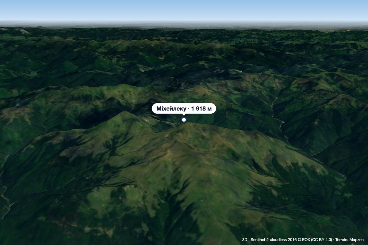 PeakMihăilecuPoienile de Sub Muntealtitude 1 918 m · Marmarosh range1.9 km from FarcăuMihăilecu (Romanian Vârful Mihăilecu, also spelled Mihailecu on maps) is a 1,918 m summit in the Romanian part of the Maramureș Mountains, in the north of Maramureș...
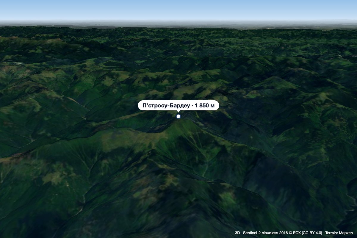 PeakPietrosu Bardăualtitude 1 850 m · Marmarosh range16 km from FarcăuPietrosu Bardău (Romanian Vârful Pietrosu Bardău, also Pietrosul Bardăului) is a 1,850 m summit in the Romanian part of the Maramureș Mountains, in the north of...
 PeakPietrosul RodneiMoiseialtitude 2 303 m39 km from FarcăuPietrosul Rodnei (Romanian Vârful Pietrosul Rodnei, also Pietrosu) is a 2,303 m summit, the highest point of the Rodna Mountains and of the entire Eastern Carpathian...
