Cindrel Peak
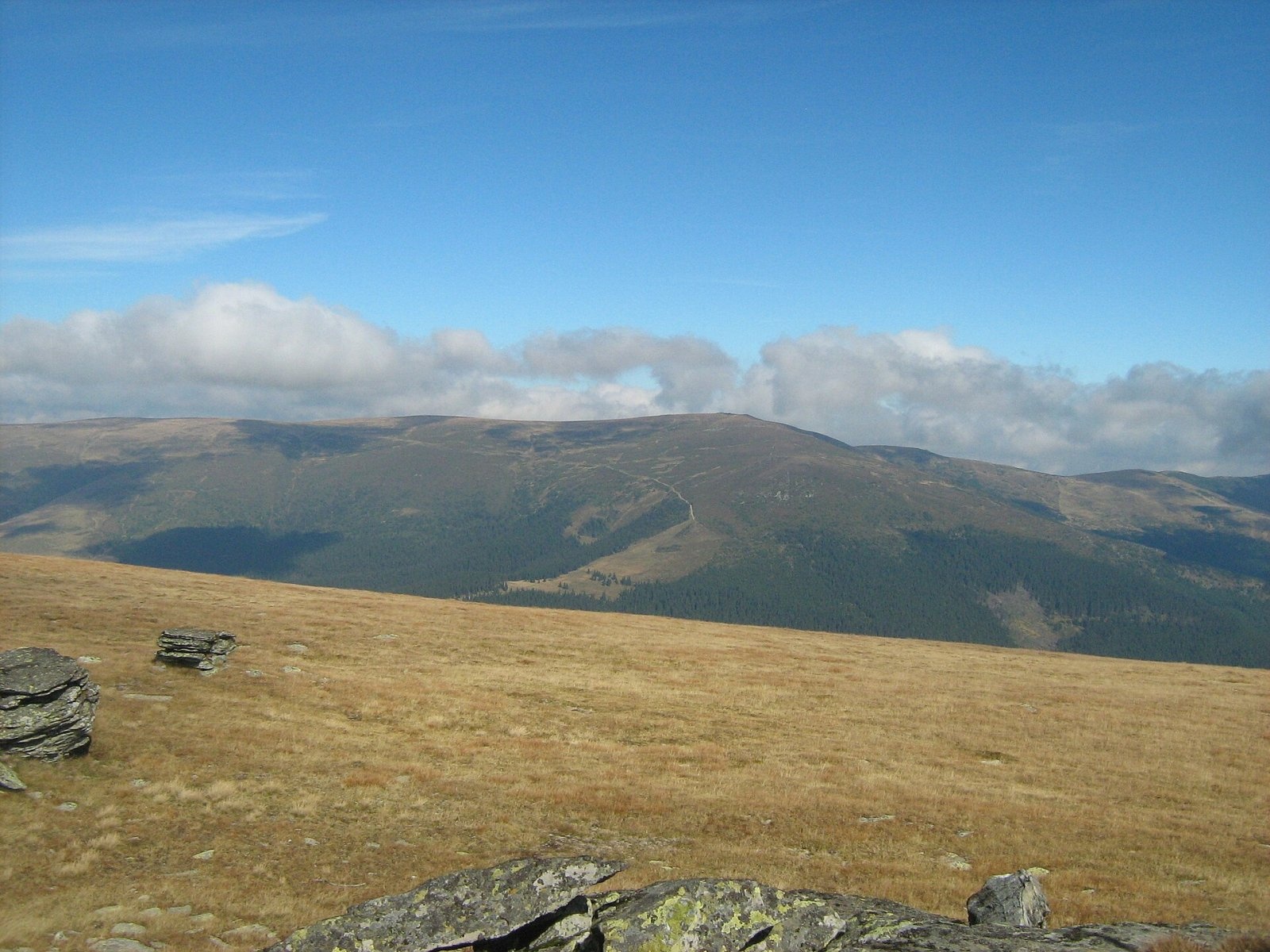
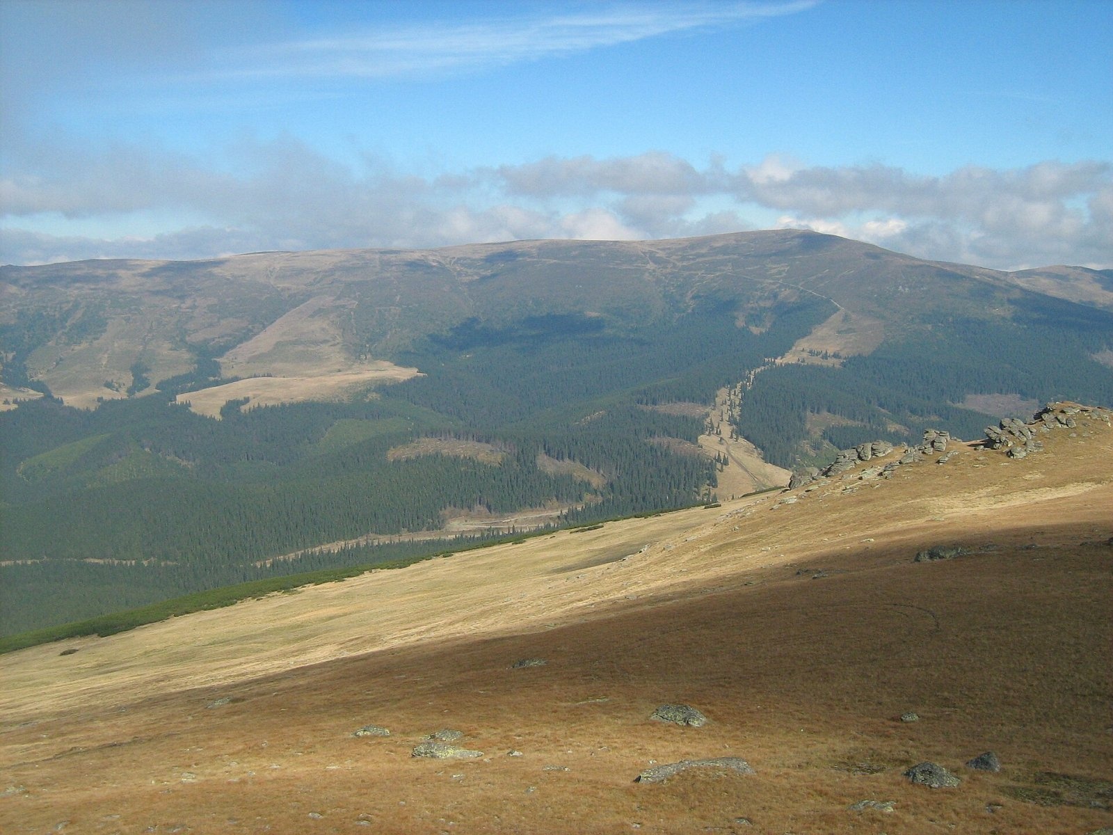
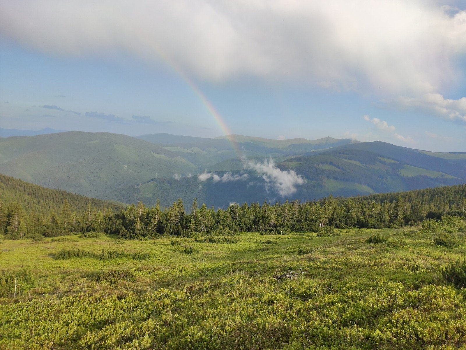
Cindrel Peak (Romanian Vârful Cindrel, also Cândrel) is the highest summit of the Cindrel Mountains, at 2,244 m (some sources give 2,245 m), in the centre of the Southern Carpathians in Romania, in Sibiu County. The Cindrel Mountains, also called the Sibiu or Cibin Mountains, cover about 900 km² and lie in the north-eastern part of the Parâng group, between the Sebeș and Sadu rivers and the Transylvanian Plateau. The peak is about 13 km south-west of the mountain resort of Păltiniș and 35 km south-west of Sibiu.
According to Hungarian Wikipedia, the mountains rise abruptly from the 200–400 m Transylvanian Plateau to 900 m and then climb slowly to over 2,200 m; there is no clear main ridge, the highest crest lies in the south of the massif and runs from north-east to south-west. Besides Cindrel it carries Frumoasa (2,168 m) and Cinaia (2,057 m). The flat summit of Cindrel, according to Czech Wikipedia, offers far-reaching views.
How to get there / trails
The European long-distance path E8 crosses the summit. So does a long ridge trail marked with a red stripe: from the town of Cisnădie over Cindrel to the Oașa hut in the south of the massif. From Șteflești peak via the Șteflești pass to Frumoasa or Cindrel leads a red cross; according to Czech Wikipedia, you can reach the summit along the ridge or from the Șteflești saddle (about 1,720 m). The nearest base is the resort of Păltiniș, halfway between the village of Rășinari and Cindrel Peak.
What you can see from the summit
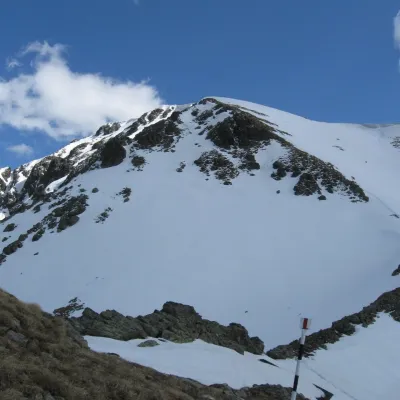
Cindrel is the highest summit of the massif, and from its flat top, according to Czech Wikipedia, the views reach far. Below, on the northern slope, two lakes lie in glacial cirques, and to the north the mountains gradually descend towards the Sibiu depression.
Nature and history
The Cindrel Mountains have well-developed glacial relief: cirques with tarns, moraines and glacial valleys. On the northern slope below the summit lies the Iezerele Cindrelului (“Cindrel Lakes”) nature reserve, about 610 ha, with the Iezerul Mare and Iezerul Mic lakes, steep cirque walls and moraines. Swiss stone pine, dwarf mountain pine, juniper, Kotschy's rhododendron and Siberian chives grow here, and chamois, bear, wolf, fox and marten live here. The reserve is part of the Natura 2000 site “Frumoasa”.
Above 1,800 m the climate is cold and wet: winter lasts about six months, the mean annual temperature is between −2 and 2 °C, and annual precipitation exceeds 1,400 mm, mostly as snow; in the sheltered valleys below Cindrel snow lies until August, and blizzards are frequent in winter.
In 1916, during the Battle of Transylvania, fighting took place on Mount Cindrel. At the foot of the mountains the ethnographic area of Mărginimea Sibiului developed, whose people have long lived from sheep-herding and woodworking. Dams and hydroelectric plants were built on the Cibin and Sadu rivers, the oldest on the Sadu in 1896, and in the monastery of the Păltiniș resort the philosopher Constantin Noica spent the last years of his life.
Safety, season and rules
Cindrel's open ridge is dangerous in fog, thunderstorms and blizzards, and snow lingers long in the high parts of the mountains – until late spring, in places until August. Salvamont advises checking the forecast for the next 24 hours, not hiking alone, telling your family your route, carrying a map, compass, torch and warm clothing, and leaving the ridge as soon as a thunderstorm starts. In the Iezerele Cindrelului reserve stay on the paths and do not pick plants.
Bears are common here. Stay on the marked paths, walk in a group and talk, do not hike in the evening or at night, do not keep food in your tent and hang it away from your camp. Sheepdogs near sheepfolds may rush at hikers – do not run, shield yourself with your rucksack. In an emergency call the national dispatch 0SALVAMONT – 0725 826 668 or 112; advice on animal encounters is on the Salvamont România website.
Photos: Cioboata Andrei, CC BY 3.0; Cioboata Andrei, CC BY 3.0; RaresMateovich, CC BY-SA 4.0 — Wikimedia Commons.
Getting there from Ukraine
Border crossings
- Porubne – Siret — road and pedestrian, 24/7
- Diakivtsi – Racovăț — road and pedestrian, 24/7 No freight traffic.
- Krasnoilsk – Vicovu de Sus — road and pedestrian, 08:00–20:00 Cars up to 3.5 t and pedestrians only; not 24/7.
- Solotvyno – Sighetu Marmației — road and pedestrian, 24/7 Passenger traffic only: vehicles up to 3.5 t with up to 9 seats, pedestrians.
- Diakove – Halmeu — road, 24/7 No pedestrian crossing.
By car
Rakhiv – Sibiu ≈390 km, ≈5 h 33 min (via Solotvyno – Sighetu Marmației); Ivano-Frankivsk – Sibiu ≈524 km, ≈7 h 52 min (via Solotvyno – Sighetu Marmației); Chernivtsi – Sibiu ≈435 km, ≈8 h 00 min (via Diakivtsi – Racovăț). Times without border queues, our road routing (GraphHopper, OSM).
Checked 03.11.2026; border crossing hours and timetables change — check before you travel.
Location on the map
Water and shelter nearby
- Spring below Cindrel1 km · Not verified · 1 883 m
- Cindrel Hut2.1 km · Not verified · 1 762 m
- Spring, 1 744 m2.8 km · Not verified · 1 744 m
- Drinking water, 1 771 m2.9 km · Not verified · 1 771 m
Wildlife nearby
AllComments
Nearby attractions
 PeakȘteflești Peakaltitude 2 242 m5.2 km from Cindrel PeakȘteflești Peak (Romanian Vârful Șteflești) is the highest summit of the Lotru Mountains, at 2,242 m, in the Southern Carpathians of Romania.
 PeakCârjaaltitude 2 405 m32 km from Cindrel PeakCârja (Romanian Vârful Cârja) is a 2,405 m summit in the Parâng Mountains of the Southern Carpathians in Romania.
 PeakParângul Marealtitude 2 519 m34 km from Cindrel PeakParângul Mare (Romanian: Vârful Parângul Mare, «Great Parâng»; also Parângu Mare) is the highest summit of the Parâng Mountains in the Southern Carpathians, 2,519 m...
