Osnica
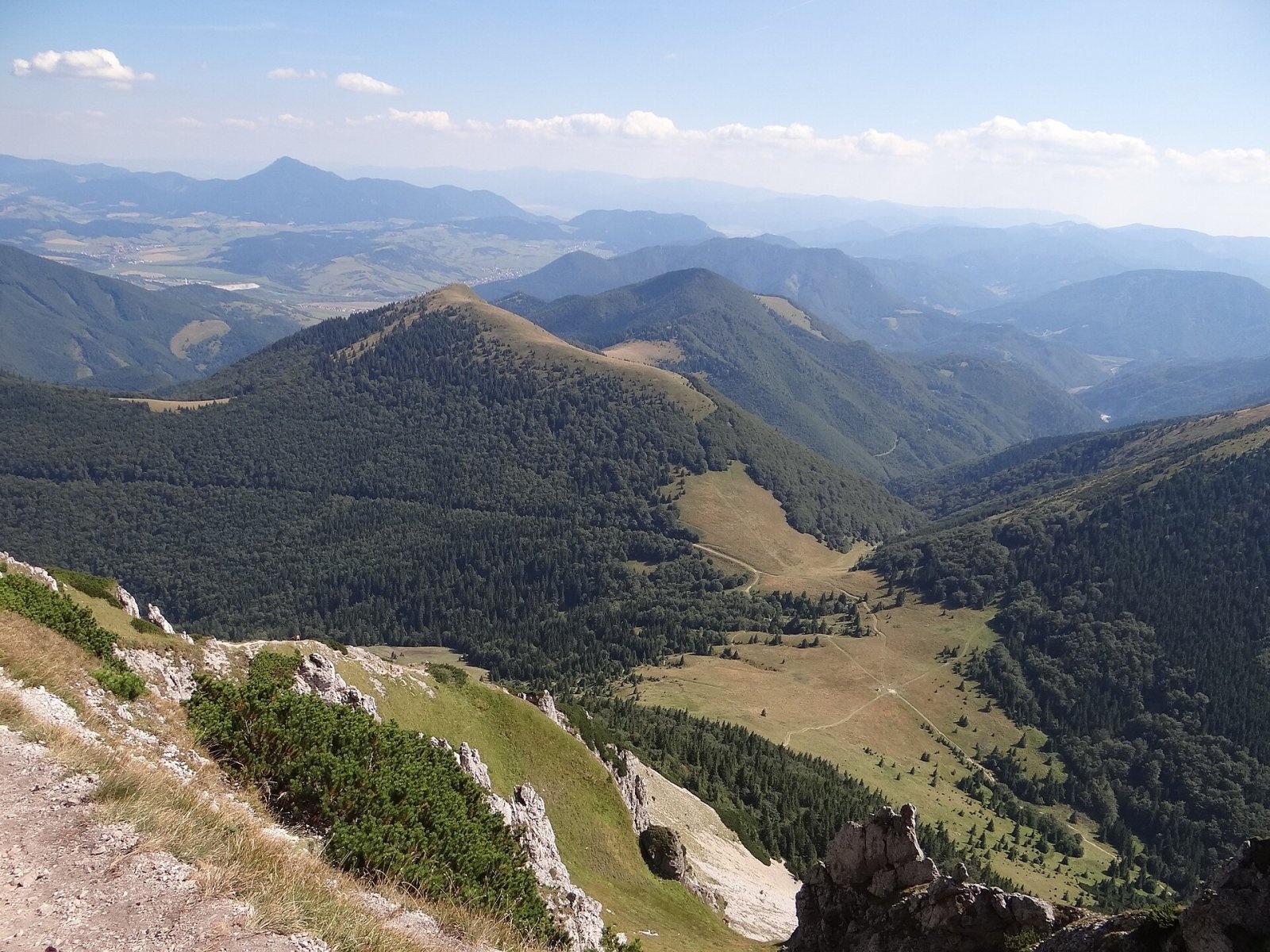
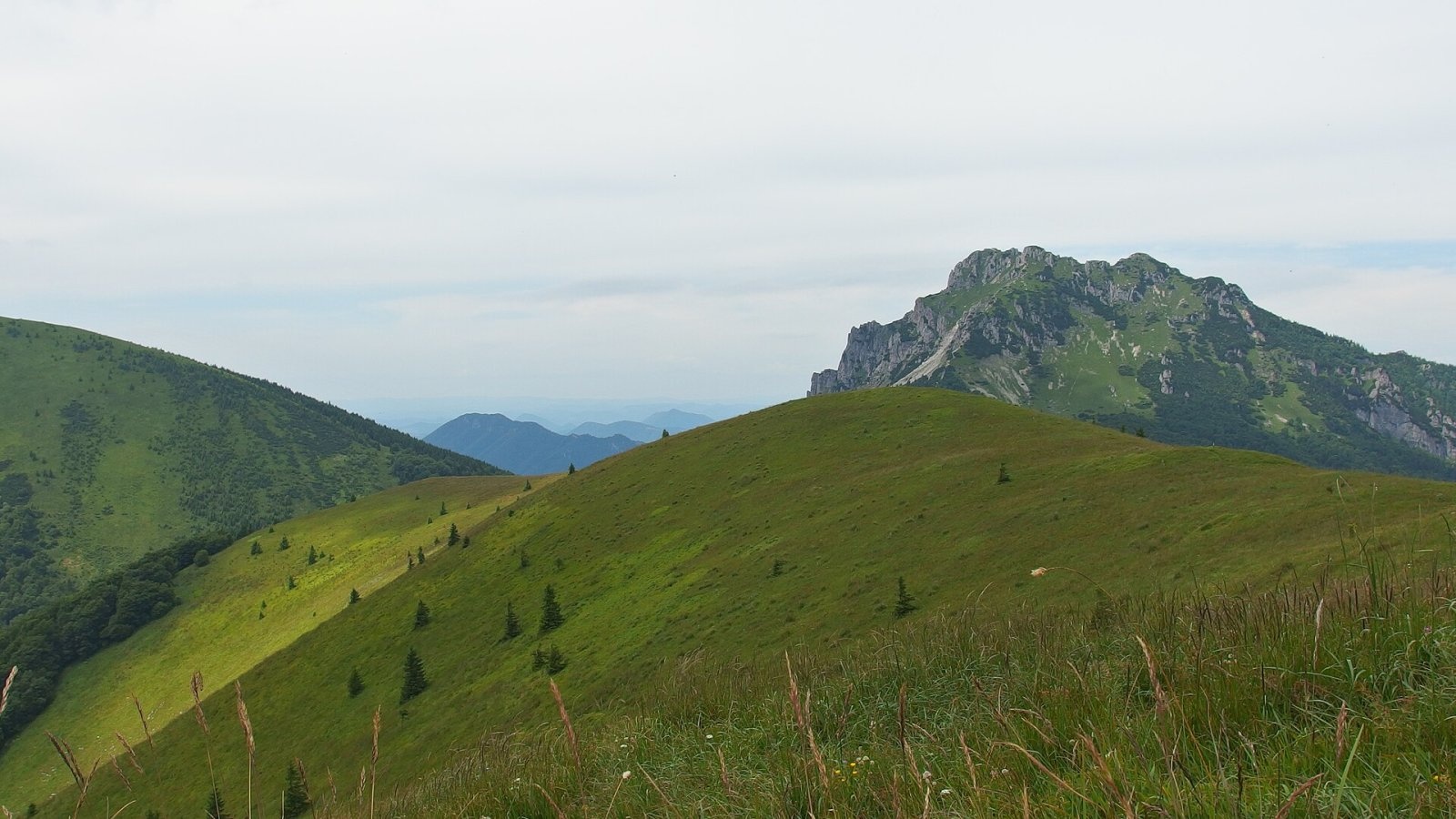
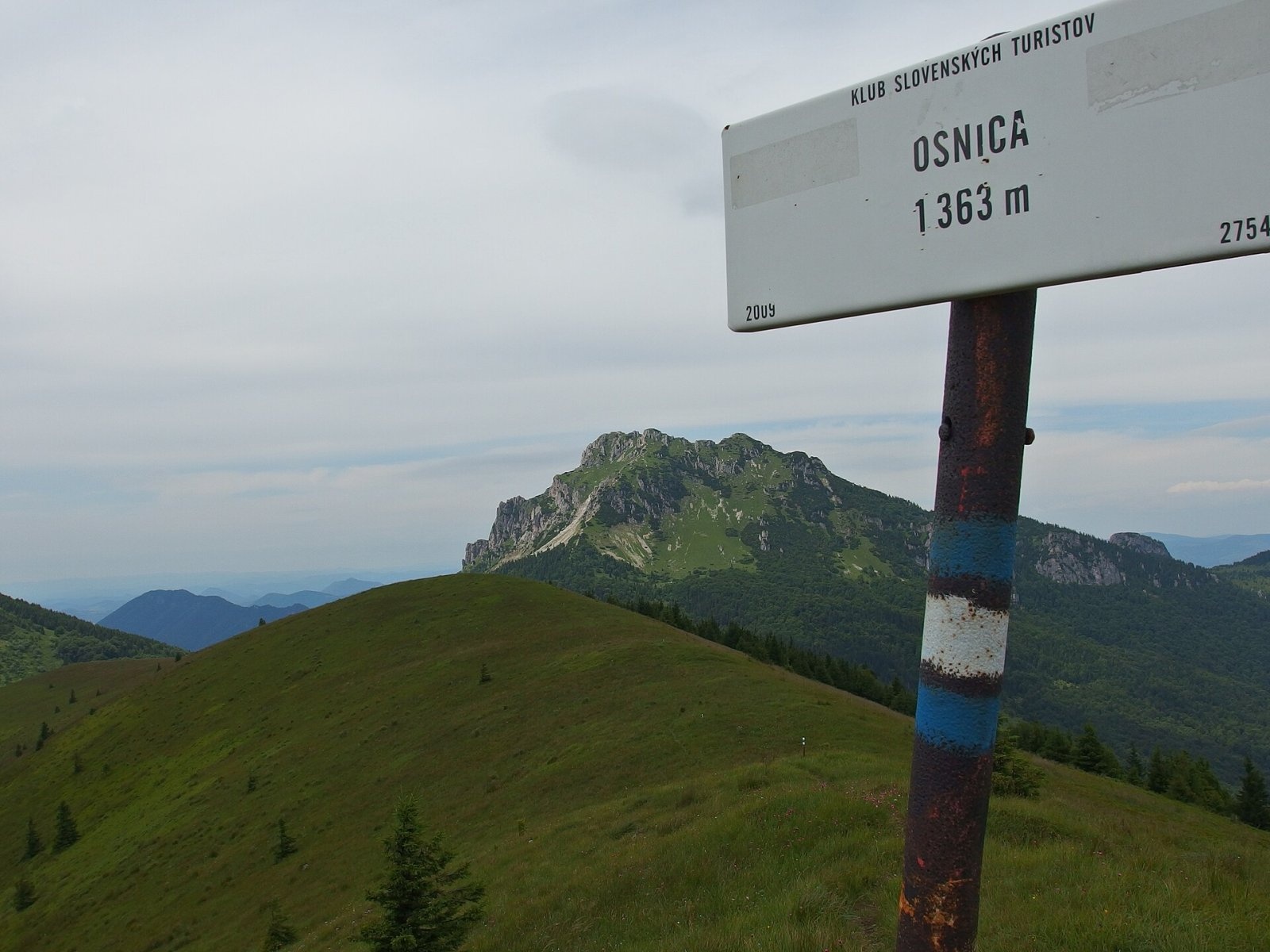
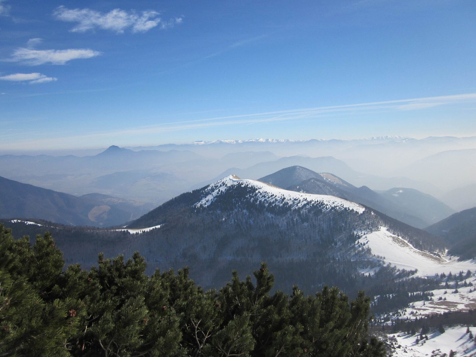
Osnica is a 1363 m summit in the north-eastern part of the Lesser Fatra (Malá Fatra) in Slovakia, about 9 km west of Dolný Kubín. It belongs to the Kriváň Fatra and lies in the cadastre of the village of Párnica in the Dolný Kubín District of the Žilina Region. About 2 km to the north-west, on the main ridge, rises Veľký Rozsutec (1610 m).
Osnica lies off the main ridge, on a spur that runs east from the Osnica saddle (near the Medziholie pass) and continues south-east via Strungový príslop, Konopová and Magura to Magurka (1007 m). The spur reaches its highest point on Osnica. The ridge separates the Zázrivka and Bystrička valleys; a side ridge with Ostré (1167 m) branches north-east into the fork of the Zázrivka and Biela streams. The neighbouring summits are Stoh (1607 m) to the south-west and Veľký Rozsutec to the north-west. Tributaries of the Orava drain the slopes. The nearest settlements are Biela (part of Zázrivá, about 3 km), Podrozsutec and Štefanová (part of Terchová, about 4.5 km).
How to get there / routes
- The blue trail crosses the summit: from Párnica via Magurka and Strungový príslop to Osnica, then via the Osnica saddle to Medziholie on the main ridge. The whole section takes about 6 h up and 4:15 h down.
- From Medziholie, reached by trails from Terchová (Štefanová), the same blue trail continues to Osnica via the Osnica saddle.
- A yellow trail leads to the summit from the Lučivná area.
What you can see from the top
The summit, ridge and both saddles are grassy, so Osnica is a good viewpoint to the north, east and south, with fine views over Orava. You can see the neighbouring Kriváň Fatra peaks, the Orava Magura, the Choč Mountains with Veľký Choč and the northern Greater Fatra, and in clear weather the Kysuce and Orava Beskids, the Western and Low Tatras and Vtáčnik. Veľký Rozsutec and the Biele steny cliffs on the ridge of Malý Rozsutec look especially striking from here. To the west the view is blocked by the higher main ridge.
Nature and history
Osnica is built of limestone – marly limestones and marls of the Križná series. The grassland on top is not a natural alpine belt but the remains of an old pasture created by clearing the forest. The whole massif lies in the Malá Fatra National Park.
Safety, season and rules
The open ridge offers no shelter from wind, storms and fog, and in winter there can be snowdrifts. Since 15 July 2026 government regulation 190/2026 divides the Malá Fatra National Park into zones A–D; in zone A walking is allowed only on marked trails. The spring closure from 1 March to 15 June applies to the neighbouring Medziholie – Veľký Rozsutec – Medzirozsutce trail, not to the routes to Osnica. Slovak Mountain Rescue Service (HZS): 18 300 (+421 18 300); general emergency number 112.
Interesting facts
- Osnica is the highest point of its spur, although it stands off the main ridge.
- The meadows on top are the result of old grazing, not a natural tree line.
Photos: Jerzy Opioła, CC BY-SA 3.0; Michal Jakubský, CC BY 3.0; Michal Jakubský, CC BY 3.0; Vegetator, CC BY 3.0 — Wikimedia Commons.
Getting there from Ukraine
Border crossings
- Uzhhorod – Vyšné Nemecké — road, 24/7
- Malyi Bereznyi – Ubľa — road, 24/7 For cars and buses; pedestrians not confirmed by the Ukrainian border service, lorries up to 3.5 t.
- Mali Selmentsi – Veľké Slemence (pedestrian) — pedestrian, 09:00–21:00 Kyiv time Pedestrians and cyclists only; inconvenient for the Tatras without onward transport.
- Chop – Čierna nad Tisou (rail) — rail, 24/7
By car
From Uzhhorod ≈275 km, ≈3 h 35 min without queues: Uzhhorod – Vyšné Nemecké → I/19 to Košice → D1 motorway via Prešov, Poprad and Liptovský Mikuláš to Ružomberok (≈270 km, ≈3 h 25 min from the border). From Lviv it is faster through Poland: M-10 → Krakovets – Korczowa → A4 to Kraków → S7/DK7 to the Chyżne – Trstená border → R3 and I/59 via Dolný Kubín to Ružomberok: ≈482 km, ≈6 h 15 min (via Uzhok and Ubľa ≈500 km, ≈7 h 30 min). The D1 requires an e-vignette (eznamka.sk).
Checked 23.10.2026; border crossing hours and timetables change — check before you travel.
Location on the map
Water and shelter nearby
- Spring below Osnica930 m · Not verified · 940 m
- Spring below Veľký Rozsutec (south-east slope), 1 086 m1.3 km · Not verified · 1 086 m
- Spring below Veľký Rozsutec (south-east slope), 1 182 m1.4 km · Not verified · 1 182 m
- Spring below Veľký Rozsutec (south-east slope), 1 169 m1.4 km · Not verified · 1 169 m
- Spring below Veľký Rozsutec (south-east slope), 1 140 m1.4 km · Not verified · 1 140 m
- Spring below Veľký Rozsutec (south-east slope), 1 176 m1.4 km · Not verified · 1 176 m
- Spring below Ostré (west slope), 941 m1.5 km · Not verified · 941 m
- Spring below Veľký Rozsutec (south-east slope), 1 275 m1.7 km · Not verified · 1 275 m
- Spring below Ostré (north-west slope), 862 m1.7 km · Not verified · 862 m
- Spring below Veľký Rozsutec (south slope)1.7 km · Not verified · 1 158 m
- Spring below Ostré (north-west slope), 855 m1.8 km · Not verified · 855 m
- Spring below Malý Rozsutec2.9 km · Not verified · 1 182 m
Comments
Trails nearby
All trails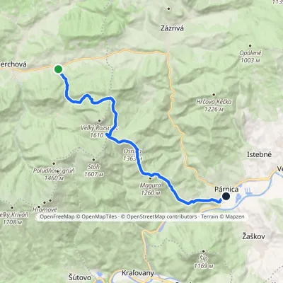 ModerateTwo-dayMarkedBiely Potok PárnicaElevation profile454–1 363 m17.3 kmascent 957 m≈ 6 h walkingunder 1 km from Osnica
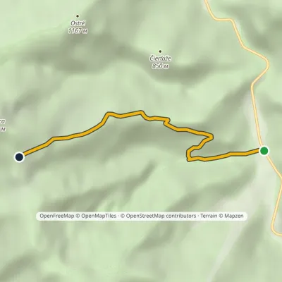 EasyOne-dayMarkedStrungový Príslop LučivnáElevation profile502–1 162 m3.6 kmascent 661 m≈ 2 h walkingunder 1 km from Osnica
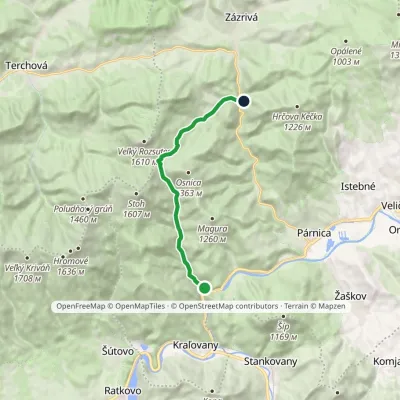 ModerateOne-dayMarkedDolina Bystrička, mouth Zázrivá, BielaElevation profile446–1 161 m11.4 kmascent 718 m≈ 4.5 h walkingunder 1 km from Osnica
Nearby attractions
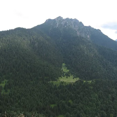 PeakVeľký RozsutecTerchováaltitude 1 610 m2.3 km from Osnica1 trail to the topVeľký Rozsutec (Polish Wielki Rozsutec) is a 1,609.8 m summit in the Malá Fatra, the most striking mountain of its Krivánska part and, according to Slovak sources, one...
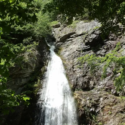 WaterfallŠútovo WaterfallŠútovo4.7 km from OsnicaThe Šútovo Waterfall (Šútovský vodopád) is the highest waterfall in the Malá Fatra mountains and one of the highest in Slovakia: the water drops 38 m.
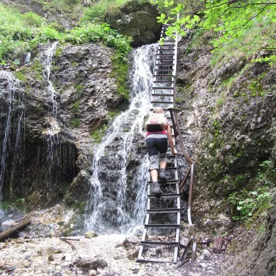 NatureJánošík's Holes (Jánošíkove diery)Terchová5 km from OsnicaJánošíkove diery (Jánošík’s Holes), or simply Diery, is a system of narrow gorges and canyons in the Krivánska Malá Fatra near the village of Terchová, birthplace of...
Craft nearby
All craft places Cheese dairies & pasturesSalaš Syrex in Zázrivá — Home of the Zázrivá Korbáčik CheeseZázrivá5.2 km from OsnicaZázrivá is a scattered mountain village on the border of Orava and the Malá Fatra, famous throughout Slovakia for its korbáčiky: thin strings of steamed cheese braided...
 Cheese dairies & pasturesSalaš Krajinka near RužomberokRužomberok15 km from OsnicaSalaš Krajinka is a genuine sheep farm on the edge of Ružomberok in lower Liptov. It was founded in 1983 to keep a thousand sheep, and the owners have deliberately...
 Craft beer & breweriesURSUS craft brewery, Čutkovská valleyRužomberok18 km from OsnicaURSUS craft brewery (Remeselný pivovar URSUS) is the first brewery of the town of Ružomberok, tucked away in the picturesque Čutkovská valley in lower Liptov.
 Water parks & thermal poolsLúčky Spa and AQUA-VITAL ParkLúčky22 km from OsnicaLúčky Spa (Kúpele Lúčky) lies in a quiet valley beneath the Choč Mountains, in the village of Lúčky near Ružomberok.
 Water parks & thermal poolsBešeňová Water ParkBešeňová27 km from OsnicaBešeňová — the "thermal heart of Liptov" Bešeňová Water Park (Vodný park Bešeňová) lies on the edge of the village of the same name in the western part of the Liptov...
 Koliby & Hutsul cuisineSalaš Dechtáre above Liptovská MaraGalovany32 km from OsnicaSalaš Dechtáre is a wooden koliba above the Liptovská Mara reservoir that is described as one of Slovakia’s first commercial salaš restaurants.
