Przehyba
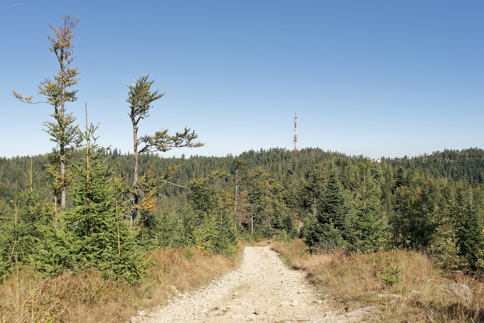
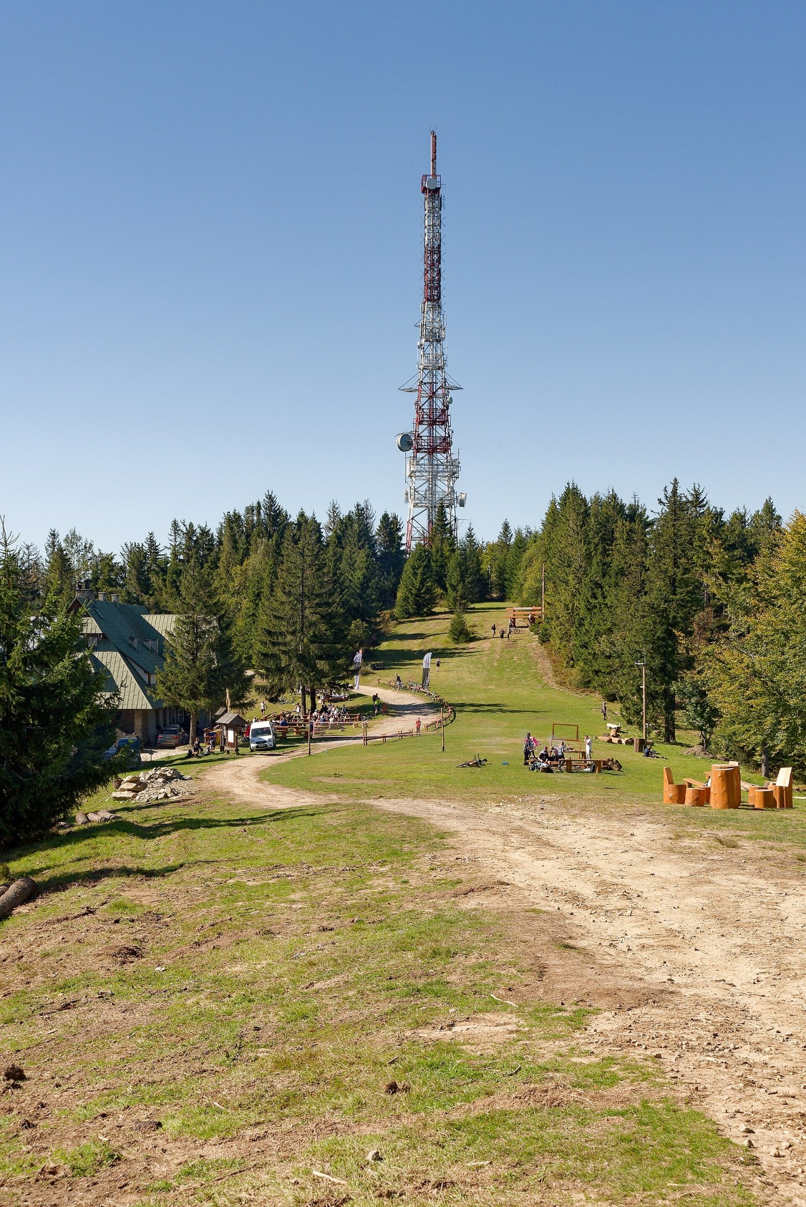
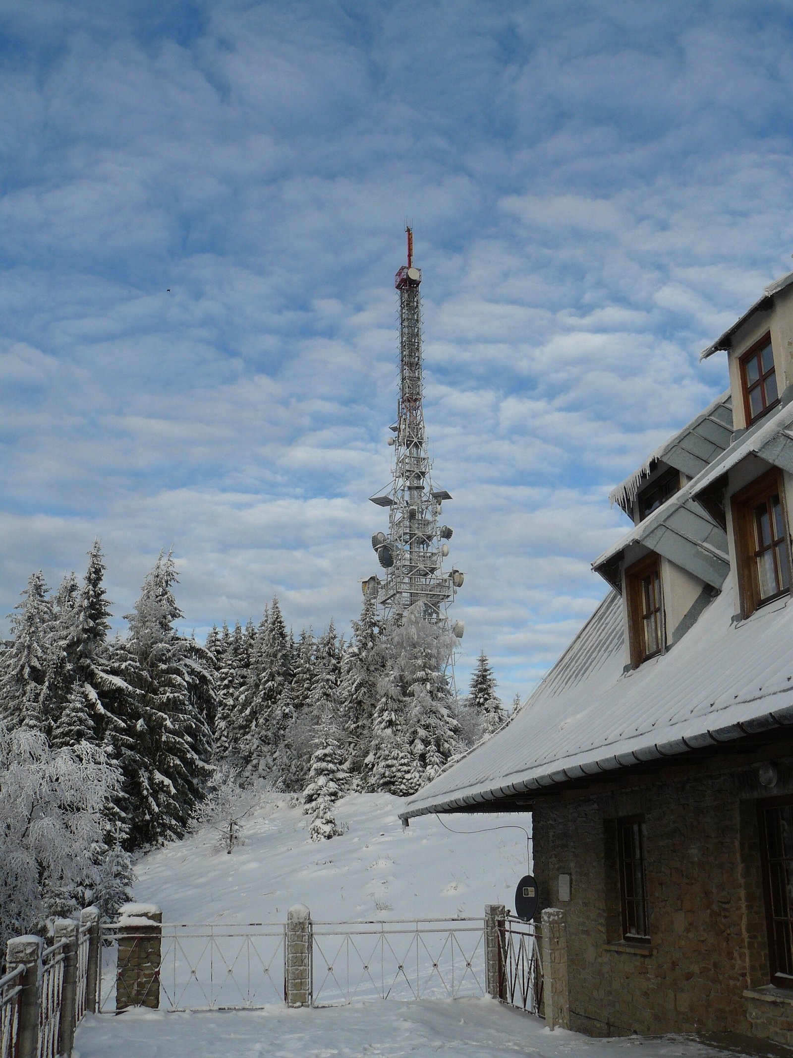
Przehyba (also Prehyba or Przechyba) is a summit about 1,175 m high in the western part of the Radziejowa range of the Sądecki Beskids in southern Poland. It lies on the main ridge of the range between Wielka and Mała Przehyba. The boundary between the village of Szlachtowa (Nowy Targ County) and Gaboń (Nowy Sącz County) in the Lesser Poland Voivodeship runs over the summit. Przehyba is one of the most easily accessible summits of the range and an important junction of hiking trails; on the neighbouring western top stand a large PTTK mountain hut and an 87 m television tower.
Getting there / trails
Trails from Szczawnica, Krościenko, Stary Sącz, Rytro, Jazowsko and Piwniczna meet on Przehyba. Times are from Polish Wikipedia:
- red — the Main Beskid Trail (GSB), section Rytro – Krościenko nad Dunajcem: from Rytro 5 h 25 min (down 4 h 50 min), from Radziejowa 1 h 15 min (back 1 h 30 min), from Krościenko 4 h 35 min (down 3 h 50 min), from Dzwonkówka 2 h 10 min. According to OpenStreetMap, the international Eisenach – Budapest route and the European path E3 follow the same ridge;
- blue — Szczawnica – Przehyba – Rytro: from Szczawnica 3 h (down 2 h 25 min), from Rytro 3 h 50 min (down 3 h 05 min);
- green — Szczawnica – Gabańka – Przehyba – Jazowsko: from Szczawnica 2 h 50 min (down 2 h 10 min), from Jazowsko 3 h 40 min;
- yellow — Stary Sącz – Moszczenica Wyżna – Przehyba: from Stary Sącz 4 h 50 min, from Moszczenica 3 h 10 min.
A paved road also leads up from Gaboń, so Przehyba is popular with cyclists too. The PTTK hut stands at 1,138 m on the western top (Mała Przehyba); in winter a 200 m T-bar ski lift operates next to it.
What you can see from the top
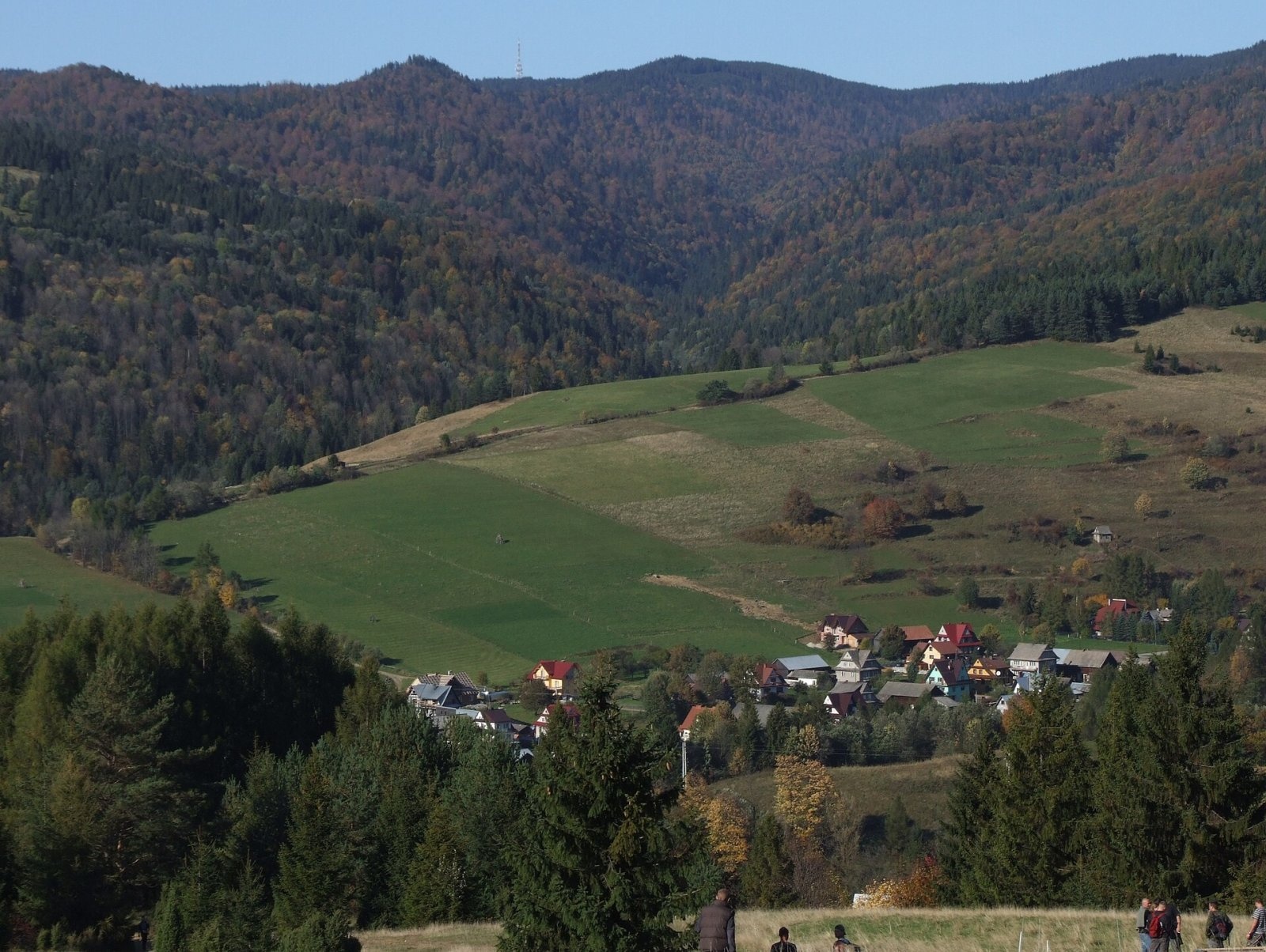
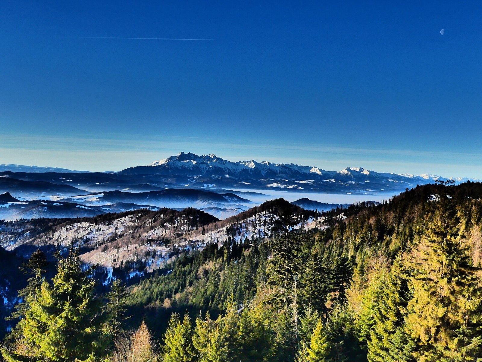
From the glade covering the ridge there are views south to the Pieniny and the Tatras and north to the Sącz Basin. From the trails of the Radziejowa range itself the summit is hard to make out, as it usually hides behind Złomisty Wierch and Skałka. Przehyba is best seen from the ridge of the Little Pieniny, and the steel relay tower can be seen even from the Tatras.
Nature and history
The name Przehyba (originally Perehyba) is a Slovak name adapted by the Rusyns who once lived in the nearby Ruś Szlachtowska; it means "pass". At first it referred only to the mountain pasture and was later transferred to the summit. A side ridge with Góra Pieniążna, Kiczora and Stary Wierch runs south from the summit, while the northern slope falls to the Jaworzynka stream.
The idea of building a hut on Przehyba was put forward in 1908 by Kazimierz Sosnowski, but the Szlachtowa community refused for decades to sell land. Only in 1936 was a plot bought from Count Adam Stadnicki, and in November 1937 the hut, named after Sosnowski, welcomed its first visitors. During the Second World War the building served partisans and at the end of 1944 the Germans burned it. A new stone hut opened in 1958; on 17 December 1991 its wooden part burned down and the building was rebuilt in the 1990s. Today there is also the small "Betlejemka" shelter from 1953, the "Sosnowski's Study" centre of mountain tourism history and a chapel. The radio and TV station with its 87 m tower covers areas more than 100 km to the north.
Safety, season and rules
The trails to Przehyba are forest paths and ridge tracks without technical sections and can be walked all year round; in winter the Radziejowa ridge is covered by deep snow, and in windy weather the open glades are very cold. The summit is not in a national park, but part of the range lies in the Poprad Landscape Park, so keep to marked trails and leave no litter. Przehyba has a duty station of GOPR rescuers from the Krynica group. Emergency numbers: GOPR 985 or +48 601 100 300, general 112.
Interesting facts
- The Przehyba hut took almost three decades to build: from the first idea in 1908 to the opening in 1937.
- The steel relay tower on Przehyba can be seen even from the Tatras.
- Three long-distance routes cross Przehyba: the Main Beskid Trail, Eisenach – Budapest and E3.
Photos: Jakub Hałun, CC BY 4.0; Jakub Hałun, CC BY 4.0; Jerzy Opioła, CC BY-SA 4.0; Zalasem1, CC BY 4.0; Zalasem1, CC BY-SA 4.0 — Wikimedia Commons.
Getting there from Ukraine
Border crossings
- Krakovets – Korczowa — road, 24/7
- Shehyni – Medyka — road, 24/7 Pedestrian crossing is not confirmed by the Ukrainian border service — check dpsu.gov.ua before the trip.
- Smilnytsia – Krościenko — road, 24/7
- Hrushiv – Budomierz — road, 24/7
- Mostyska – Przemyśl (rail) — rail, 24/7
By car
Lviv – Szczawnica ≈384 km, ≈5 h 25 min without queues: M-10 → Krakovets – Korczowa → A4 to Brzesko (≈198 km) → DK75 to Nowy Sącz → DW969 via Stary Sącz and Łącko to Krościenko nad Dunajcem → Szczawnica. ≈306 km, ≈4 h from the border.
Checked 23.10.2026; border crossing hours and timetables change — check before you travel.
Location on the map
Water and shelter nearby
- Przehyba Hut330 m · Standing · 1 138 m
- Spring below Skałka (north-east slope), 1 049 m1.5 km · Not verified · 1 049 m
Comments
Trails nearby
All trails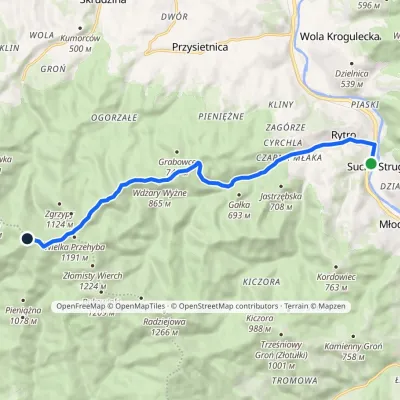 ModerateOne-dayMarkedRytro PrzehybaElevation profile347–1 175 m11.6 kmascent 859 m≈ 4.5 h walkingunder 1 km from Przehyba
 HardMulti-dayMarkedMain Trail of BeskidyElevation profile309–1 723 m499.9 kmascent 19 519 munder 1 km from Przehyba
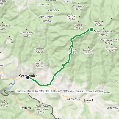 EasyOne-dayMarkedPrzehyba Szczawnica ZdrójElevation profile461–1 153 m10.2 kmascent 64 m≈ 2.5 h walkingunder 1 km from Przehyba
Nearby attractions
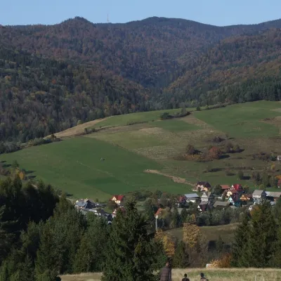 PeakWielka PrzehybaSzlachtowaaltitude 1 191 munder 1 km from PrzehybaWielka Przehyba (also Wielka Prehyba, Wierch Przechyba, Złamany Wierch, Złomnisty Wierch) is a wooded 1,191 m summit in the Sądecki Beskids, on the main ridge of the...
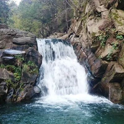 WaterfallZaskalnik FallsSzczawnica5.2 km from PrzehybaZaskalnik is a small but very picturesque waterfall on the Sopotnicki stream (Sopotnicki Potok) near the spa town of Szczawnica.
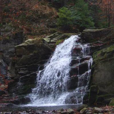 WaterfallWodospad Wielki in ObidzaObidza5.3 km from PrzehybaWodospad Wielki ("Great Waterfall") is a natural cascade 5 m high on the Majdan stream, also called Majdański Potok, in the village of Obidza in the Łącko commune of...
Craft nearby
All craft places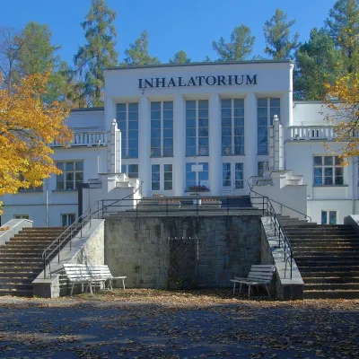 Water parks & thermal poolsSzczawnica spa: pump room, waters and the InhalatoriumSzczawnica6.6 km from PrzehybaThe Szczawnica spa (Uzdrowisko Szczawnica) is all about water and air: in the valley of the Grajcarek stream, between the Pieniny and the Beskid Sądecki at 430–500 m,...
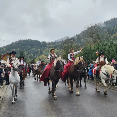 Markets & fairsAutumn Redyk in Szczawnica: sheep drive, oscypek and shepherdsSzczawnica8.7 km from PrzehybaRedyk is an old Carpathian shepherding custom: in spring the flocks are driven up to the mountain pastures (hale), and in autumn, after the cheese-making season, they...
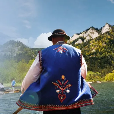 Ethno tours & guidesGoral raftsmen of Červený Kláštor: wooden-raft trip on the DunajecČervený Kláštor13 km from PrzehybaBetween Červený Kláštor and Lesnica the Dunajec cuts a deep, winding gorge through the limestone Pieniny, and here the river becomes the border between Slovakia and...
 Craft beer & breweriesPersonall Kraft Brewpub, Stary SączStary Sącz13 km from PrzehybaPersonall Kraft is a family-run brewpub in Stary Sącz where the beer is brewed right in the dining hall: the big brewing vessels are visible from the tables.
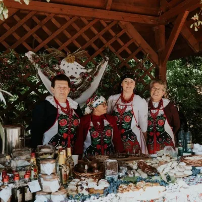 Markets & fairsFruit Harvest Festival in Łącko: village stands, fruit and folkloreŁącko15 km from PrzehybaŁącko, in the Dunajec valley between Stary Sącz and the Pieniny, is one of Poland's best-known fruit-growing areas: the slopes around are covered with apple, pear and...
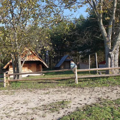 Cheese dairies & pasturesMajerz Meadow Shepherd's Hut, Pieniny National Park: oscypek and żętycaKrośnica17 km from PrzehybaMajerz meadow (hala) sits on a 689 m hill between Czorsztyn-Nadzamcze and the village of Hałuszowa, above Lake Czorsztyn.
