Kiczory
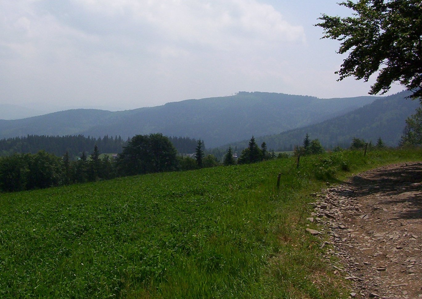
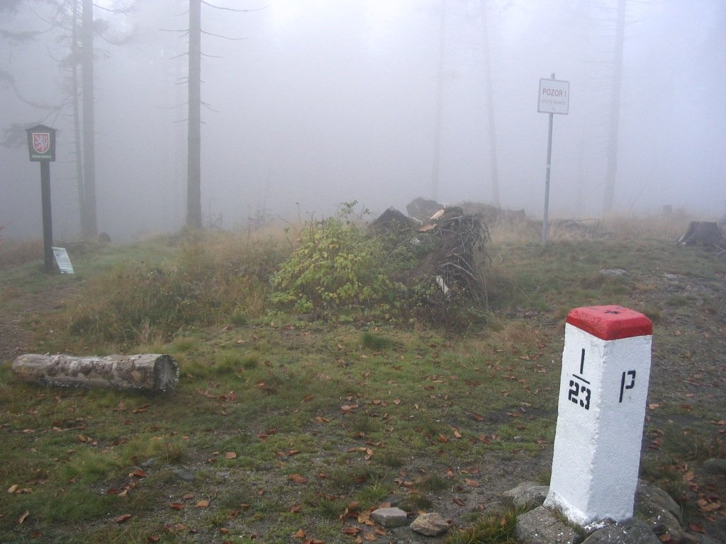
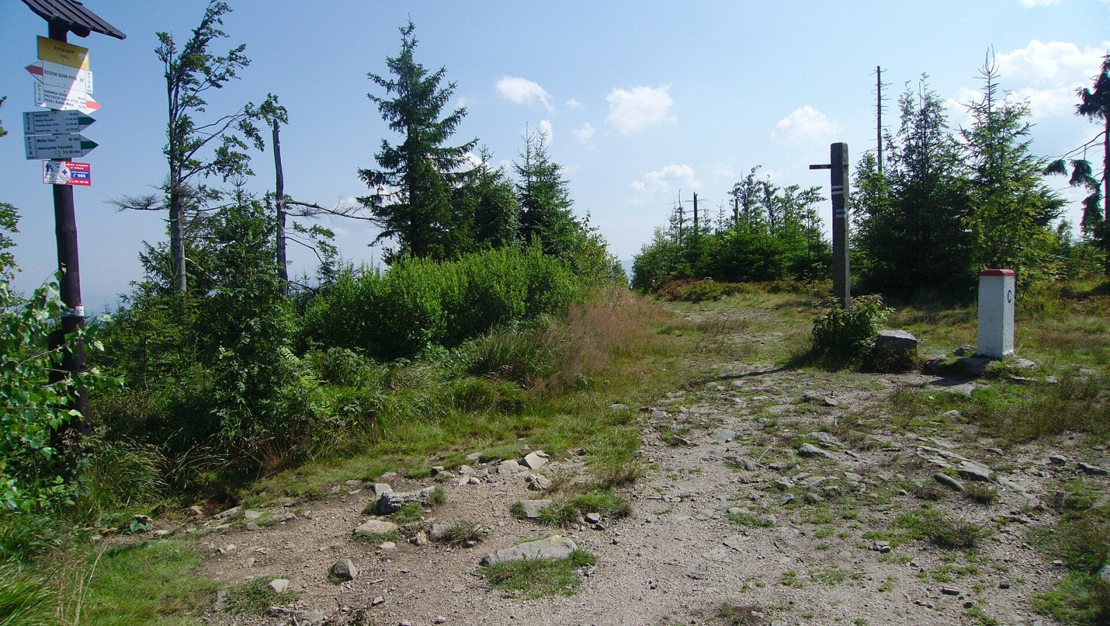
Kiczory (Czech Kyčera) is a wooded 990 m summit in the western Silesian Beskids, on the border between Poland and the Czech Republic. It is the second-highest peak of the Stożek and Czantoria Range (after Wielka Czantoria). It stands on the main ridge of the range east of Kyrkawica, at the point where a side ridge branches off south-east via Sałasz Dupne and Młoda Góra to the Olza river in Istebna. The territories of the Polish communes of Wisła and Istebna and the Czech municipality of Písek u Jablunkova meet on the summit; here the state border turns at a right angle to the south and leaves the main ridge. The Czech town of Jablunkov lies about 5.5 km to the south-west.
According to Wikidata the summit's prominence is 253 m and its isolation (distance to the nearest higher point) is 9.6 km.
How to get there / trails
The red Main Beskid Trail (from Ustroń to Wołosate in the Bieszczady) and the green trail from Istebna to Stożek cross the summit. Walking times according to Polish Wikipedia:
- red — from the Kubalonka pass, 1 h 35 min (1 h 25 min back);
- red — from Stożek Wielki, 25 min each way;
- green — from Istebna via Sałasz Dupne, 2 h (1 h 30 min back);
- yellow — from Jaworzynka Centrum via Jasnowice, 4 h 50 min (4 h back);
- from Głębce — blue trail to the Łączecko pass, then red, 2 h (1 h 30 min back).
The Czech long-distance route Via Czechia (Silesian Beskids section) also runs over the summit, so the mountain can be visited from the Czech side as well.
What you can see from the summit
According to German and Czech Wikipedia, the summit offers views of the neighbouring mountains and the lowlands, including most of the Silesian Beskids. The summit is easy to pick out from Cieślar and Łabajów — together with neighbouring Kyrkawica and Stożek Wielki it forms the characteristic skyline of the western ridge of the range.
Nature and history
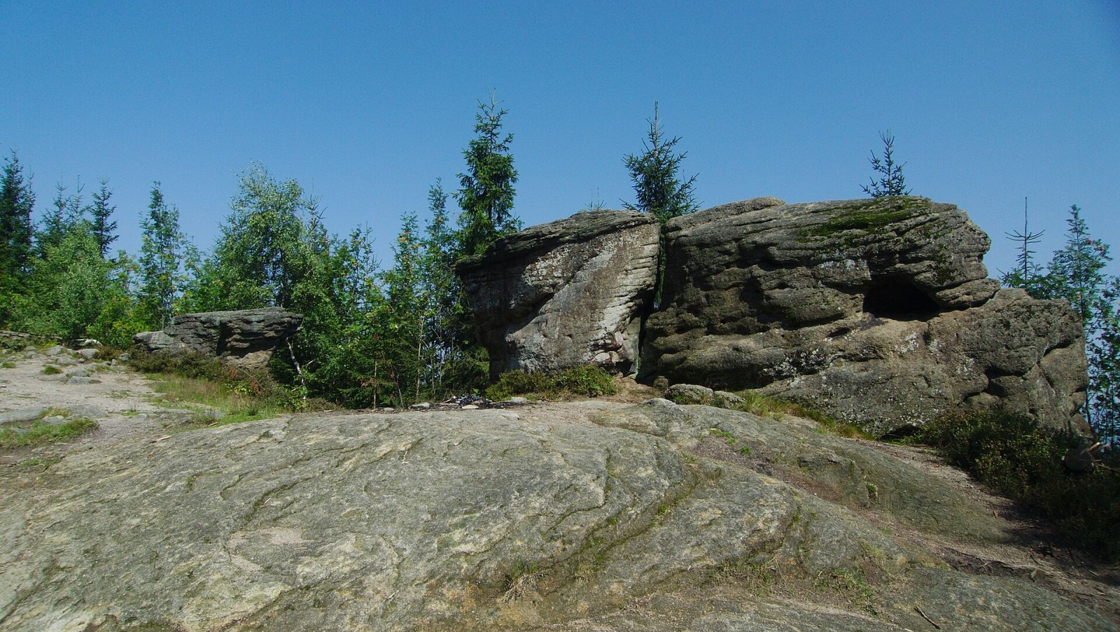
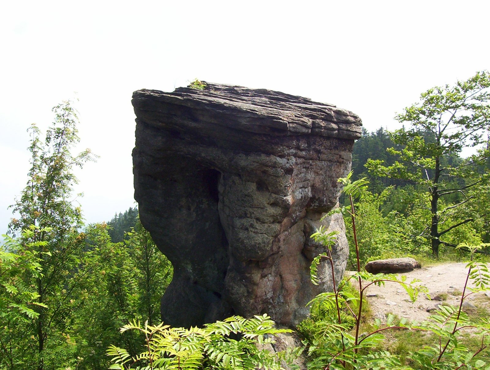
Kiczory lies on the Beskid watershed between the Vistula and the Olza (and thus the Oder). It is built of coarse-grained, brownish Istebna sandstone with many grains of quartz and orthoclase and veins of siderite, a poor iron ore. On the Kiczory – Kyrkawica stretch of the ridge this sandstone crops out as steps, rock pulpits and even rock mushrooms — the well-known Rock Mushrooms on Kyrkawica.
The summit is covered mostly with beech and spruce forest. The section of the main ridge running east from Kiczory to the Kubalonka pass divides the valleys of the Łabajów (north) and Olecka (south) streams and carries the boundary between Wisła and Istebna in Cieszyn County. On the south-western slope, on the Czech side, lies the Plenisko nature reserve. The Polish slopes are also valuable: much of them is covered by a local form of Norway spruce, the so-called Istebna spruce. On the summit there is an information board and border marker I/23.
Safety, season and rules
Kiczory can be visited all year round, and its trails have no difficult sections. In winter there is snow on the ridge, and in fog it pays to follow the waymarks carefully on the wooded ridge with its junctions. The Polish–Czech border runs over the summit; both countries are in the Schengen Area, so crossing on marked trails is allowed, but carry an identity document. In the Czech Plenisko reserve keep to marked paths. On the Polish side mountain rescue is provided by GOPR: 985 or +48 601 100 300; the general emergency number in both countries is 112.
Photos: Michalmily at Polish Wikipedia, CC BY 2.5; Kroc, Public domain; Łukasz Grzejszczak, CC BY-SA 4.0; Michalmily at Polish Wikipedia, CC BY 2.5; Łukasz Grzejszczak, CC BY-SA 4.0; Jerzy Opioła, CC BY-SA 4.0 — Wikimedia Commons.
Getting there from Ukraine
Border crossings
- Krakovets – Korczowa — road, 24/7
- Shehyni – Medyka — road, 24/7 Pedestrian crossing is not confirmed by the Ukrainian border service — check dpsu.gov.ua before the trip.
- Smilnytsia – Krościenko — road, 24/7
- Hrushiv – Budomierz — road, 24/7
- Mostyska – Przemyśl (rail) — rail, 24/7
By car
Lviv – Żywiec ≈412 km, ≈5 h 30 min without queues or tolls: M-10 → Krakovets – Korczowa → A4 to Kraków (≈249 km) → DK52 via Wadowice → DW781 and DW946 to Żywiec. ≈333 km, ≈4 h from the border. Alternative via the tolled A4 Kraków – Katowice and the S1 via Tychy and Bielsko-Biała: ≈457 km, ≈5 h 25 min.
Checked 23.10.2026; border crossing hours and timetables change — check before you travel.
Location on the map
Water and shelter nearby
- Stożek PTTK Hut1.5 km · Standing · 979 m
- PTTK Shelter on Mały Stożek2.6 km · Standing · 824 m
Comments
Trails nearby
All trails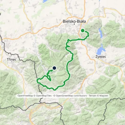 HardMulti-dayMarkedStraconka SmrekowiecElevation profile394–1 257 m79 kmascent 3 481 munder 1 km from Kiczory
 HardMulti-dayMarkedMain Trail of BeskidyElevation profile309–1 723 m499.9 kmascent 19 519 munder 1 km from Kiczory
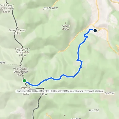 EasyOne-dayMarkedWisła Głębce station Stożek Wielkivia MraźnicaElevation profile546–958 m6.5 kmascent 30 m≈ 1.5 h walkingunder 1 km from Kiczory
Nearby attractions
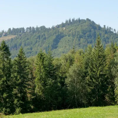 PeakStożek WielkiIstebnaaltitude 978 m1.6 km from KiczoryStożek Wielki (Czech: Velký Stožek, "big cone") is a 978 m summit in the Silesian Beskids on the Polish–Czech border.
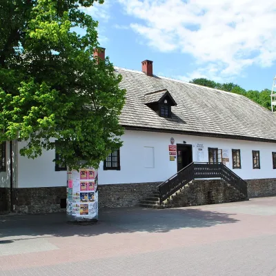 MuseumBeskid Museum in WisłaWisła6.7 km from KiczoryThe Andrzej Podżorski Beskid Museum (Muzeum Beskidzkie im. Andrzeja Podżorskiego) is an ethnographic museum in the very centre of Wisła, a resort town in the Silesian...
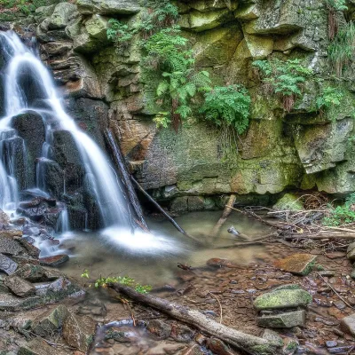 WaterfallRodło Cascades (Biała Wisełka)Wisła11 km from KiczoryThe Rodło Cascades (Kaskady Rodła) are a group of about 25 natural waterfalls and rock steps on the Biała Wisełka, one of the streams that give rise to the Vistula.
Craft nearby
All craft places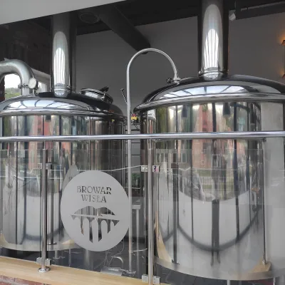 Craft beer & breweriesBrowar Wisła: craft brewpub in Wisła's old railway stationWisła7.1 km from KiczoryBrowar Wisła is a brewpub in the heart of the Silesian Beskids, in the spa town of Wisła, where Poland's longest river of the same name rises.
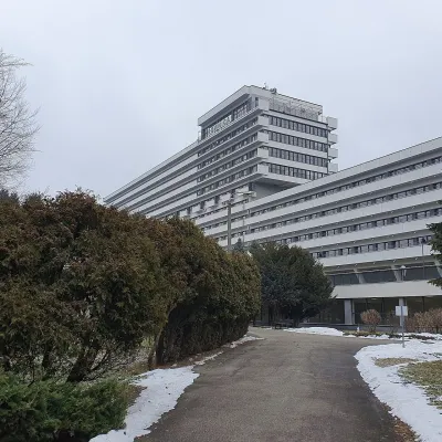 Water parks & thermal poolsUstroń spa: brine, peat and brine poolsUstroń14 km from KiczoryUstroń is the only spa of the Silesian Beskids: the town lies where the Vistula valley leaves the mountains, between the ridges of Równica (884 m) and Czantoria Wielka...
 Cheese dairies & pasturesRaková farm in Kysuce: bryndza, žinčica and cheese cakesRaková19 km from KiczoryKysuce is a hilly region in north-western Slovakia, near the Polish and Czech borders, with scattered hillside hamlets (“kopanice”) and an old tradition of keeping...
 Cheese dairies & pasturesBacówka na Bukowinie, Żabnica: sheep's cheese and alpacasWęgierska Górka21 km from KiczoryBacówka na Bukowinie stands on a slope above the village of Żabnica, next to Węgierska Górka, where the Żywiec Beskids meet the Silesian Beskids.
 Craft beer & breweriesArchducal Castle Brewery, Cieszyn: 180 years of beer and rock cellarsCieszyn23 km from KiczoryThe Archducal Castle Brewery in Cieszyn (Arcyksiążęcy Browar Zamkowy Cieszyn) is one of the oldest working breweries in Poland and one of the most valuable monuments...
 Water parks & thermal poolsAquapark Leśna (Żywiec)Leśna24 km from KiczoryAquapark Leśna (also called Aquapark Żywiec) is a swimming-pool complex in the village of Leśna, a few kilometres from Żywiec, in the Żywiec Basin, surrounded by the...
