Magurka Wilkowicka
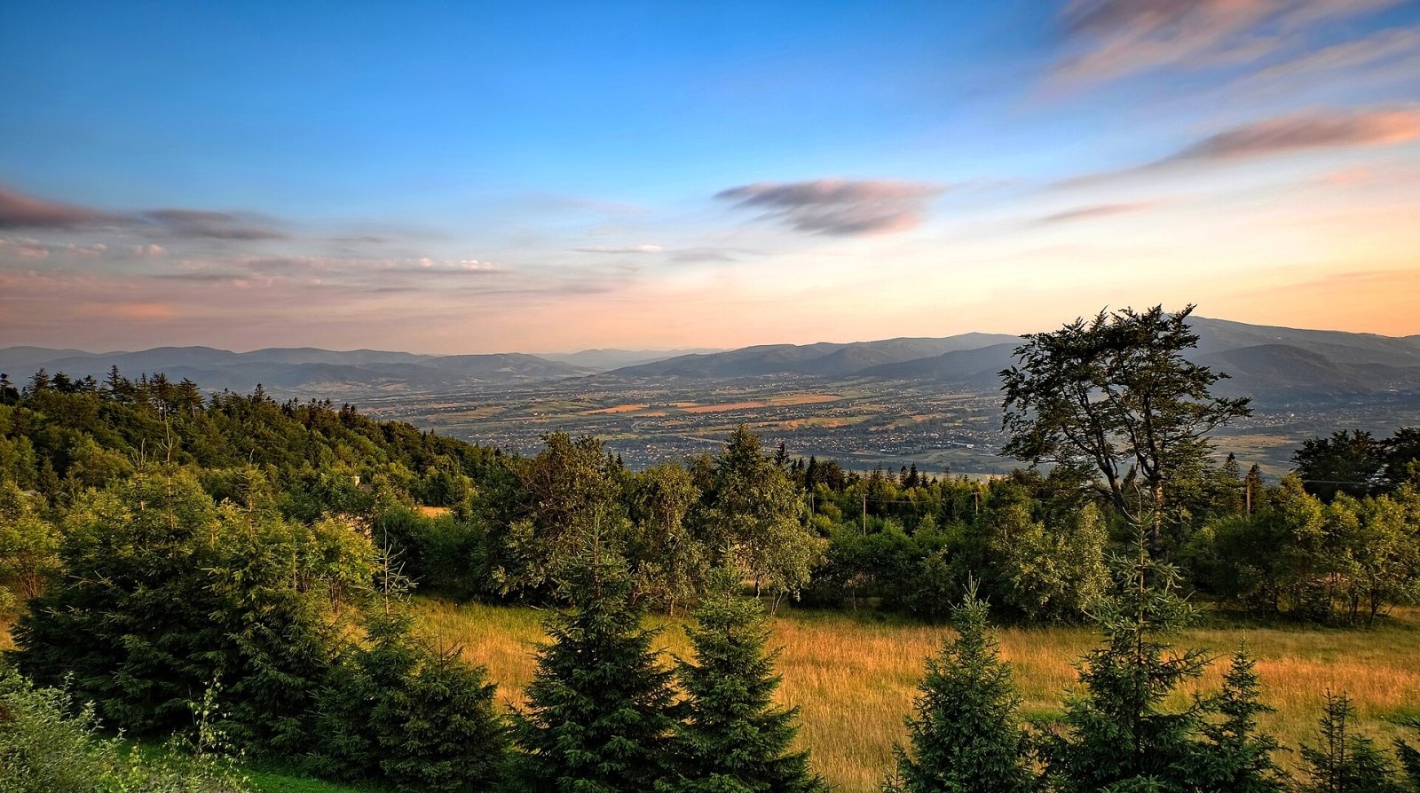
Magurka Wilkowicka is a 909 m summit, the fourth-highest in the Little Beskids, in the Magurka Wilkowicka group in the south of the Silesian Voivodeship. It stands on the main ridge of the group between Czupel (930 m) and Sokołówka (853 m); a side ridge with the tops of Rogacz and Łysa Góra runs west from it. Three streams flow down the three valleys between its three ridges: the Głęboki Potok (a tributary of the Ponikwa), the Mraźnica and the Wilkówka. The ridge carries the boundary between the villages of Wilkowice (south-western slopes) and Międzybrodzie Bialskie (north-eastern slopes); the Straconka valley separates it from Bielsko-Biała.
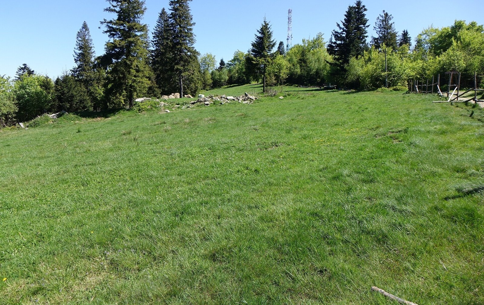
It is one of the most popular mountains of the Little Beskids: the summit clearing holds a PTTK mountain hut and a radio and TV transmitter, and an asphalt road leads up from Wilkowice.
How to get there / trails
A whole network of trails converges on Magurka (times from Polish Wikipedia):
- green — from Wilkowice Bystra station, 2 h 15 min; from Bielsko-Biała-Straconka via Hańderkula, 1 h 15 min;
- yellow — from Bielsko-Biała-Straconka, 2 h 15 min; from Międzybrodzie Bialskie, 2 h 30 min;
- blue — from Lipnik via the Przegibek pass, 3 h; from Czernichów, 2 h 15 min;
- red — from Bielsko-Biała Mikuszowice station, 2 h 15 min; from Cygański Las via Łysa Góra, 3 h 30 min;
- black — from Wilkowice via the Rogacz hut, about 1 h 50 min, or via Skała Czarownic, 2 h 50 min.
There is a car park by the hut. In winter ski trails run from the summit to the Łysa Przełęcz and Straconka and to the Przegibek pass, and a cross-country course with four loops, which met FIS requirements, is laid out on the slopes of Magurka and its neighbours; competitions such as "In the Footsteps of Archduchess Maria Theresa" are held here.
What you can see from the summit
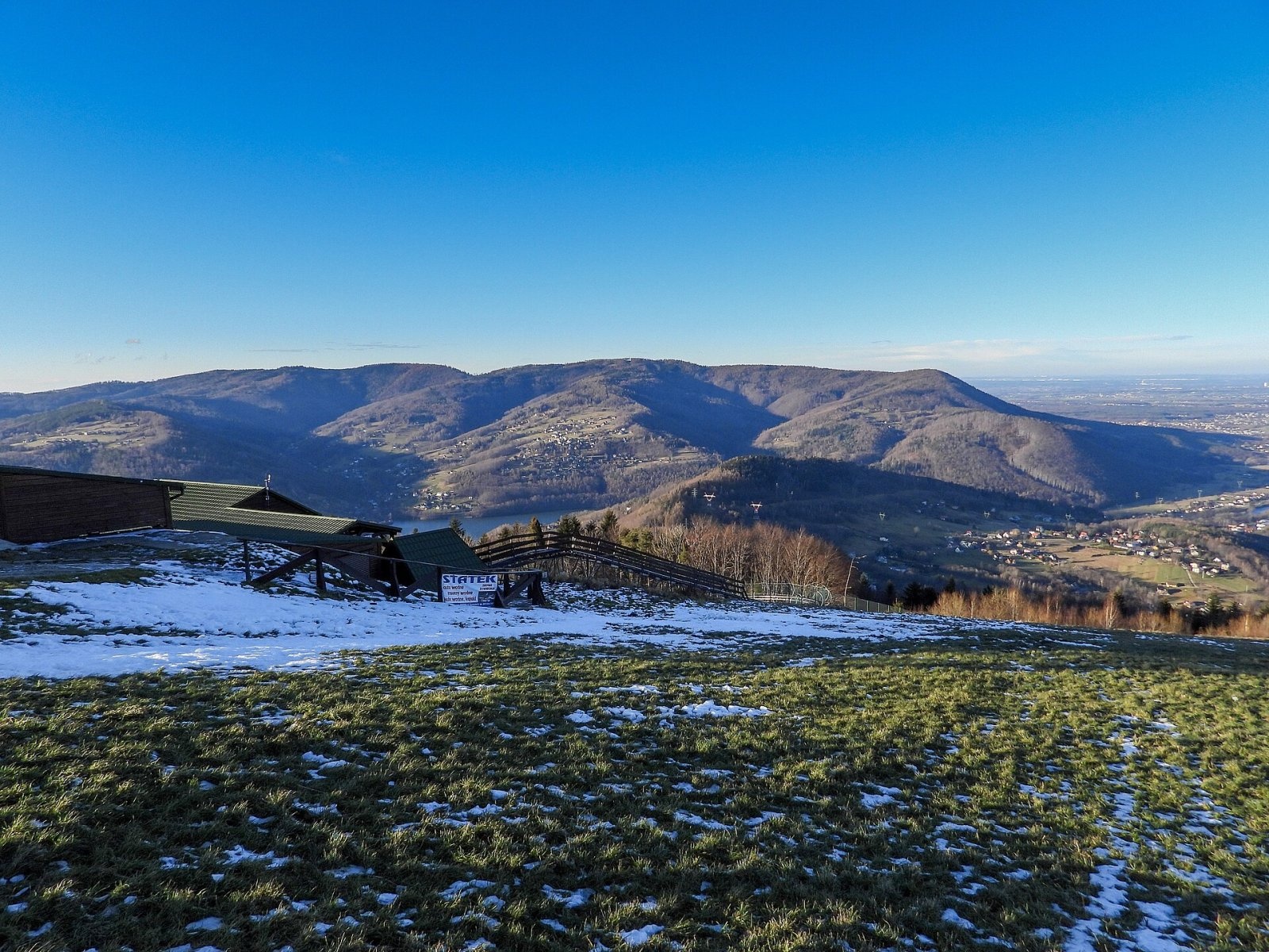
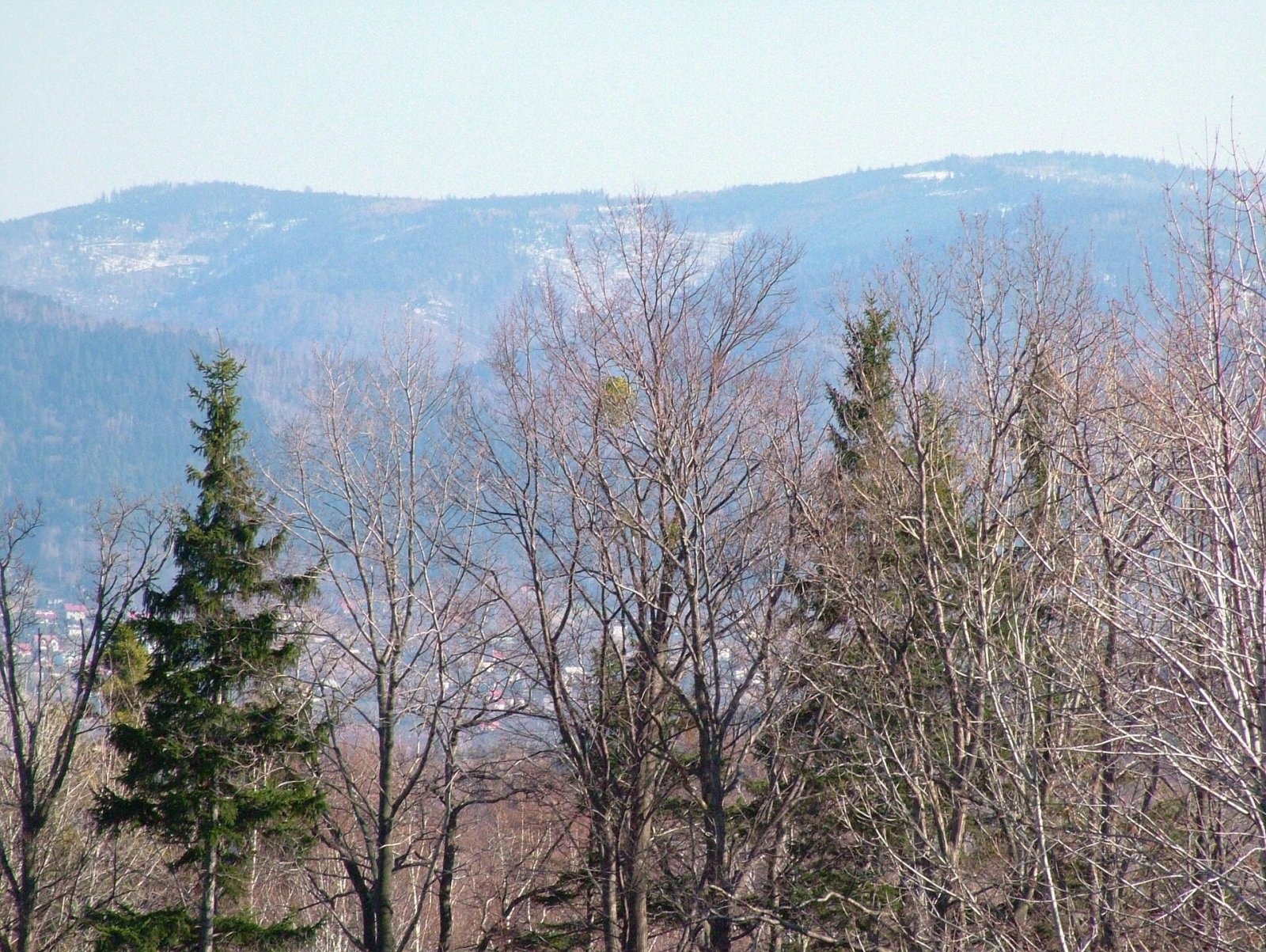
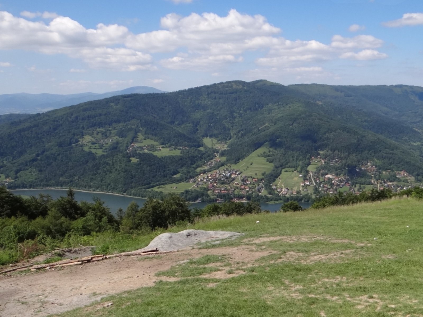
The large clearing below the summit gives views of the Silesian, Little and Żywiec Beskids — including Babia Góra, Pilsko and Wielka Racza, as well as Barania Góra, Skrzyczne and Klimczok. The sloping roof of the cross-country ski centre building by the hut serves as a viewing terrace.
Nature and history
Shepherding once flourished on the upper ridge: as late as 1914 the ethnographer Ludomir Sawicki recorded a shepherds' hut on "Magórka" where three partners grazed 80 sheep. Grazing at this altitude later became uneconomic, and the old pastures are gradually returning to forest. Kazimierz Sosnowski called the mountain Magórka Łodygowska, while the German-speaking inhabitants of Bielsko and Biała called it Josefsberg, after a figure of St Joseph by a spring in the Magurka Straceńska hamlet.
The first hut was built by the Bielsko section of the German Beskidenverein and opened on 27 September 1903, but it burnt down only two years later. Rebuilt, it reopened on 18 August 1907 as the "Archduchess Maria Theresa Hut on Josefsberg"; it burnt again on 22 March 1912, and the present masonry building, opened on 19 October 1913, replaced it. A meteorological station was built next to it in 1908, and in winter a toboggan run descended from the summit to Straconka; during the occupation the Germans ran ski courses on the clearings and even built a small ski jump. Near Magurka, towards Czupel, the "Widok na Tatry" ("View of the Tatras") hut operated until 1967. On the summit clearing a small building with a niche holds an image of the Virgin Mary, and a mass is said here once a year.
Safety, season and rules
Magurka can be visited all year and its trails have no difficult sections. In winter ski and cross-country tracks run over the slopes — walkers should stay on the marked paths and not walk in the ski tracks. Because of the dense network of trails and forest roads it is easy to take a wrong turn in fog. Mountain rescue in the Little Beskids is provided by GOPR: 985 or +48 601 100 300, plus the general emergency number 112.
Photos: Jerzy Opioła, CC BY-SA 4.0; Jendrusk, CC BY-SA 4.0; Ela Lesiak, CC BY-SA 3.0; Jerzy Opioła, CC BY-SA 4.0; Dragon77S, CC BY 3.0; Jerzy Opioła, CC BY-SA 4.0 — Wikimedia Commons.
Getting there from Ukraine
Border crossings
- Krakovets – Korczowa — road, 24/7
- Shehyni – Medyka — road, 24/7 Pedestrian crossing is not confirmed by the Ukrainian border service — check dpsu.gov.ua before the trip.
- Smilnytsia – Krościenko — road, 24/7
- Hrushiv – Budomierz — road, 24/7
- Mostyska – Przemyśl (rail) — rail, 24/7
By car
Lviv – Żywiec ≈412 km, ≈5 h 30 min without queues or tolls: M-10 → Krakovets – Korczowa → A4 to Kraków (≈249 km) → DK52 via Wadowice → DW781 and DW946 to Żywiec. ≈333 km, ≈4 h from the border. Alternative via the tolled A4 Kraków – Katowice and the S1 via Tychy and Bielsko-Biała: ≈457 km, ≈5 h 25 min.
Checked 23.10.2026; border crossing hours and timetables change — check before you travel.
Location on the map
Water and shelter nearby
- PTTK Hut on Magurka70 m · Standing · 906 m
- Spring below Magurka Wilkowicka610 m · Not verified · 867 m
- Spring below Sokołówka990 m · Not verified · 792 m
- Spring below Hańderkula1.4 km · Not verified · 657 m
- Asi i Daniela Spring1.6 km · Not verified · 692 m
- Hut on Rogacz1.7 km · Standing · 697 m
- Spring below Czupel (west slope)1.9 km · Not verified · 854 m
- Albrecht Spring2.5 km · Not verified · 473 m
- Spring below Przysłop2.8 km · Not verified · 720 m
Comments
Trails nearby
All trails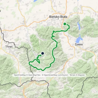 HardMulti-dayMarkedStraconka SmrekowiecElevation profile394–1 257 m79 kmascent 3 481 munder 1 km from Magurka Wilkowicka
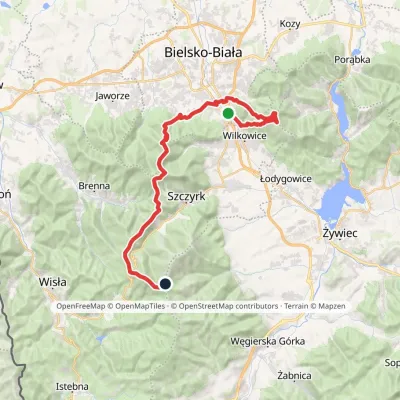 HardMulti-dayMarkedMikuszowice Krakowskie Malinowska SkałaElevation profile346–1 152 m38.1 kmascent 1 985 m≈ 13.5 h walkingunder 1 km from Magurka Wilkowicka
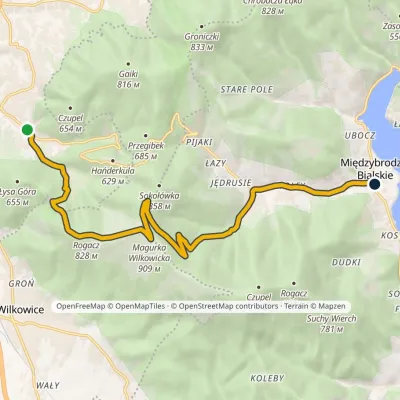 ModerateOne-dayMarkedStraconka Międzybrodzie BialskieElevation profile335–909 m12.5 kmascent 490 m≈ 4 h walkingunder 1 km from Magurka Wilkowicka
Nearby attractions
 PeakCzupelMiędzybrodzie Bialskiealtitude 930 m2.5 km from Magurka WilkowickaCzupel is the highest summit of the Little Beskids at 930 m; the latest geodetic and LiDAR measurements give 931 m, and some publications quote 933 m.
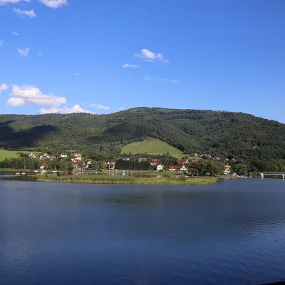 LakeLake Międzybrodzie (Jezioro Międzybrodzkie)Międzybrodzie Bialskie5.5 km from Magurka WilkowickaLake Międzybrodzie (Jezioro Międzybrodzkie), or the Międzybrodzie Reservoir, is an artificial lake on the Soła river in the Beskid Mały (Little Beskids), in the...
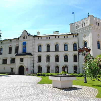 CastleŻywiec castles: Old Castle, Habsburg Palace and parkŻywiec11 km from Magurka WilkowickaIn the very centre of Żywiec, two residences of the former lords of the Żywiec estate stand side by side — the Old Castle and the Habsburg Palace, or New Castle —...
Craft nearby
All craft places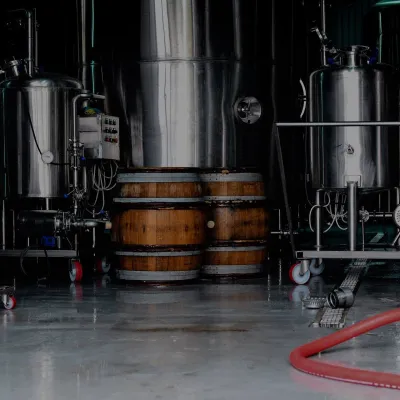 Craft beer & breweriesBrowar Zarzecze in the Żywiec Basin: craft brewery shopZarzecze7.2 km from Magurka WilkowickaBrowar Zarzecze works in the village of Zarzecze near Pietrzykowice in the Żywiec Basin — a region where beer has been brewed since at least the 19th century and home...
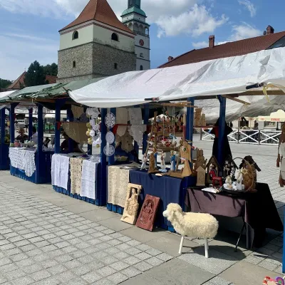 Markets & fairsFolk Art Fair in Żywiec during the Beskidy Week of CultureŻywiec11 km from Magurka WilkowickaThe Beskidy Highlanders' Week of Culture (Tydzień Kultury Beskidzkiej, TKB) is Poland's largest folklore festival: it was first held in Wisła in 1964, and today, at...
 Water parks & thermal poolsAquapark Leśna (Żywiec)Leśna12 km from Magurka WilkowickaAquapark Leśna (also called Aquapark Żywiec) is a swimming-pool complex in the village of Leśna, a few kilometres from Żywiec, in the Żywiec Basin, surrounded by the...
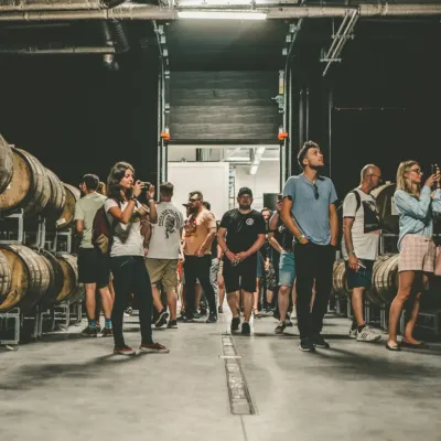 Craft beer & breweriesPINTA Brewery, Wieprz near Żywiec: tours and taproomWieprz15 km from Magurka WilkowickaPINTA is the brewery that Poles associate with the start of the “beer revolution”; it calls itself the country's first craft brewery.
 Cheese dairies & pasturesBacówka na Bukowinie, Żabnica: sheep's cheese and alpacasWęgierska Górka20 km from Magurka WilkowickaBacówka na Bukowinie stands on a slope above the village of Żabnica, next to Węgierska Górka, where the Żywiec Beskids meet the Silesian Beskids.
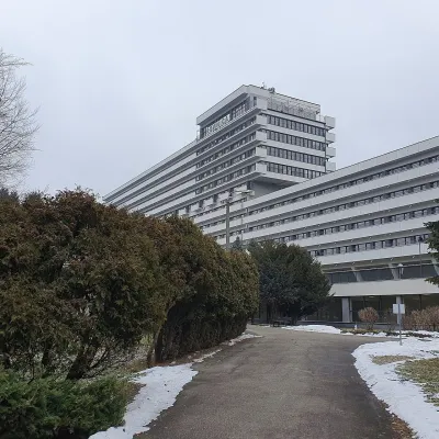 Water parks & thermal poolsUstroń spa: brine, peat and brine poolsUstroń23 km from Magurka WilkowickaUstroń is the only spa of the Silesian Beskids: the town lies where the Vistula valley leaves the mountains, between the ridges of Równica (884 m) and Czantoria Wielka...
