Latiborská hoľa
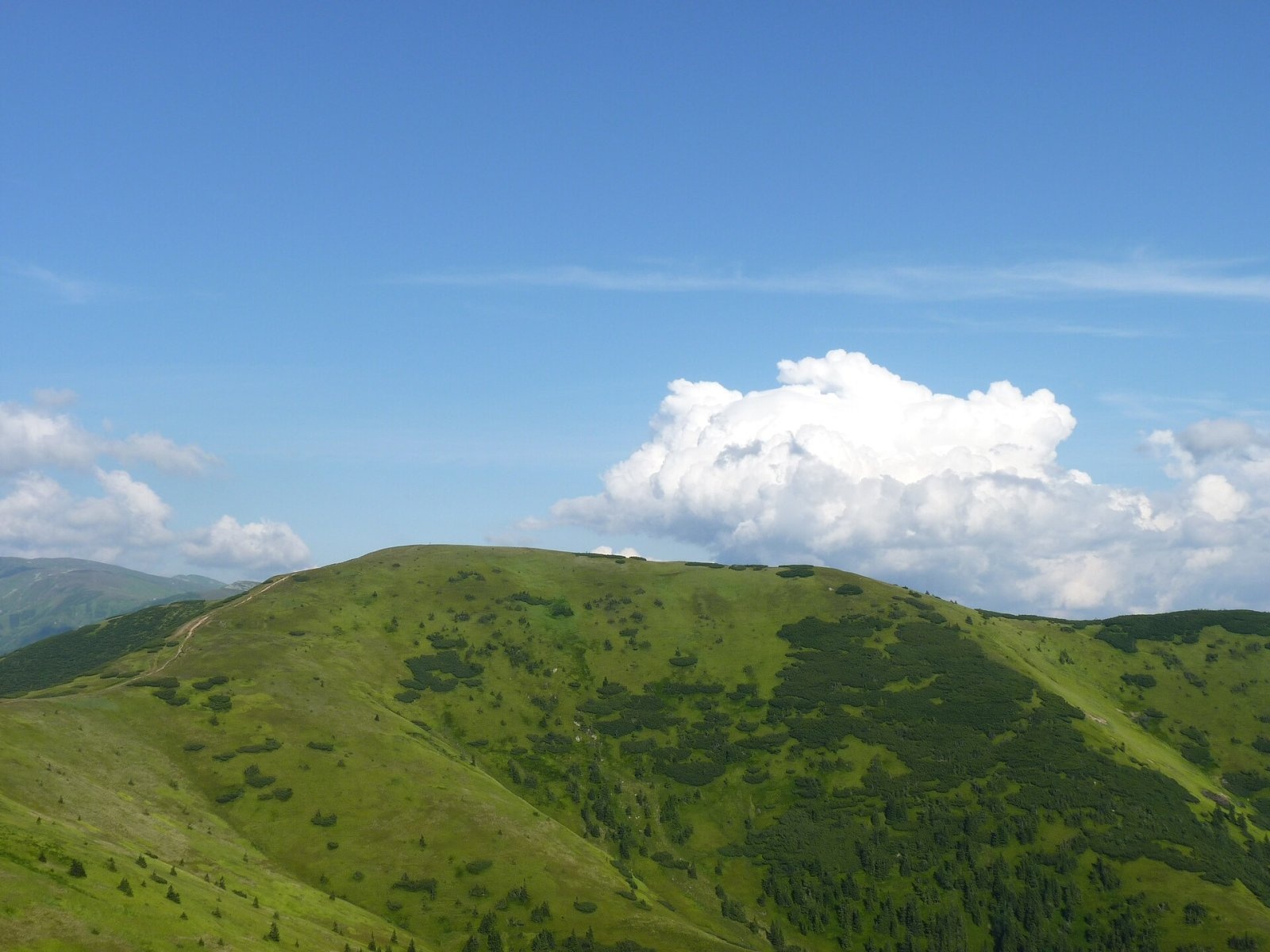
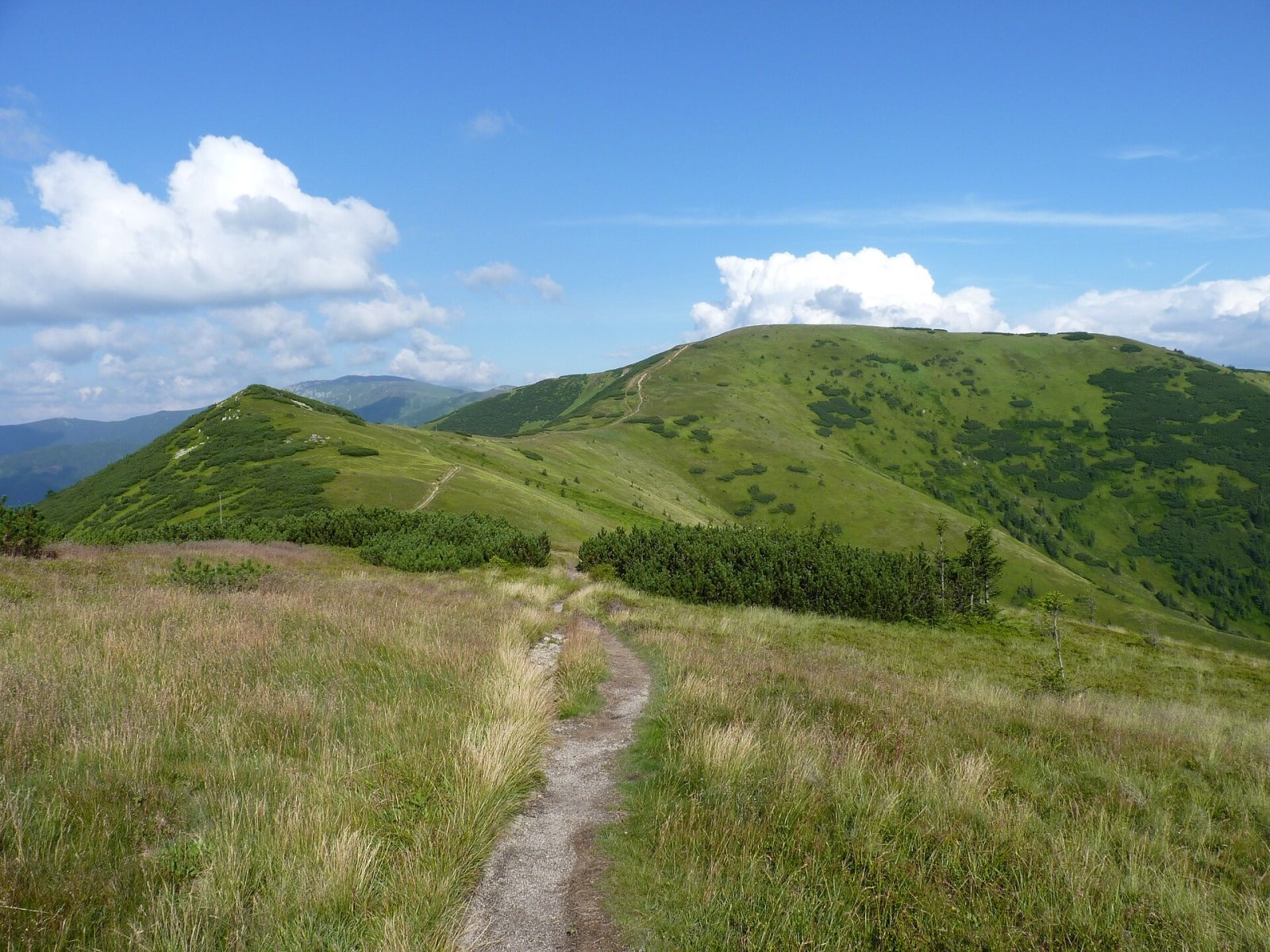
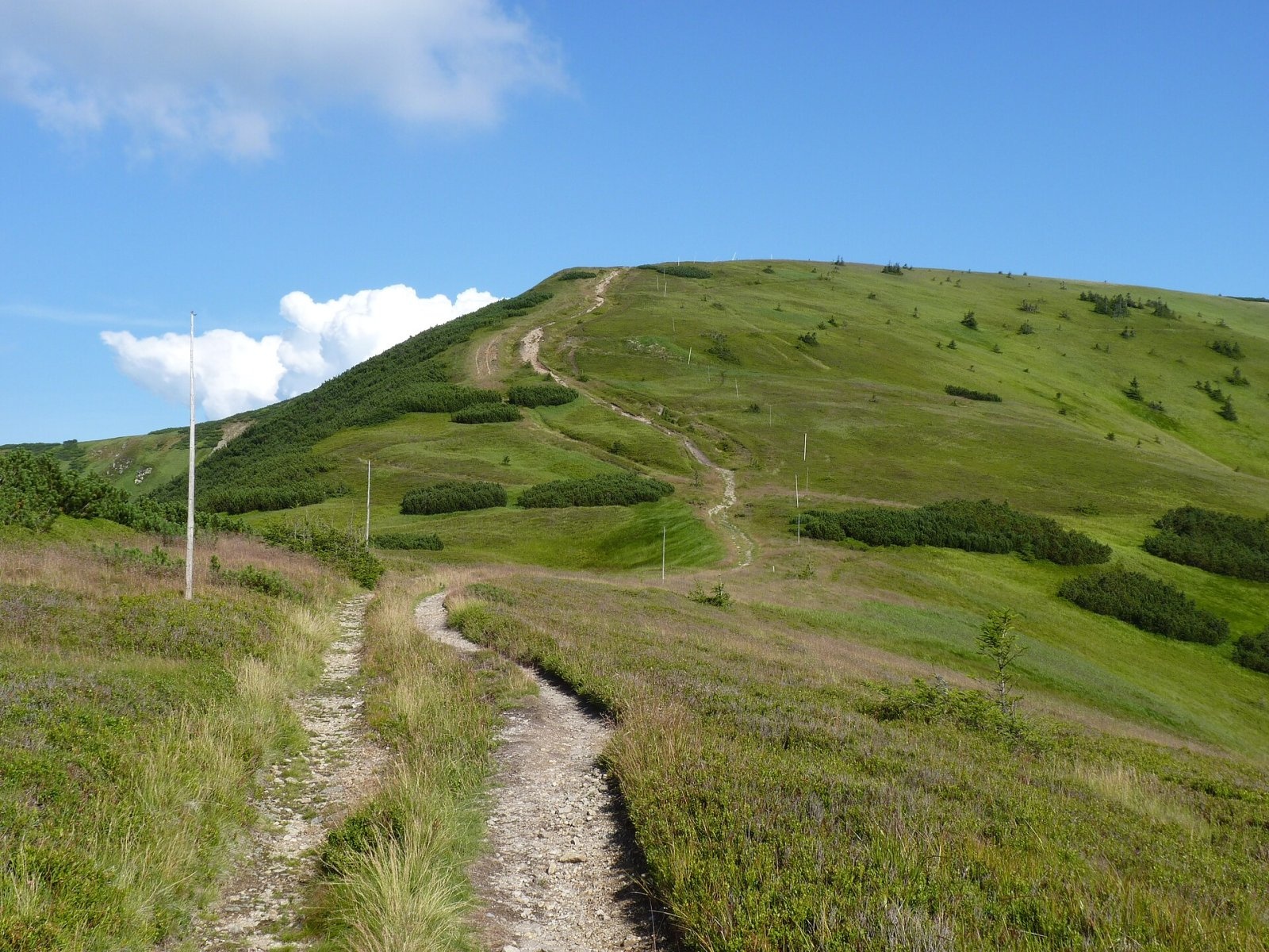
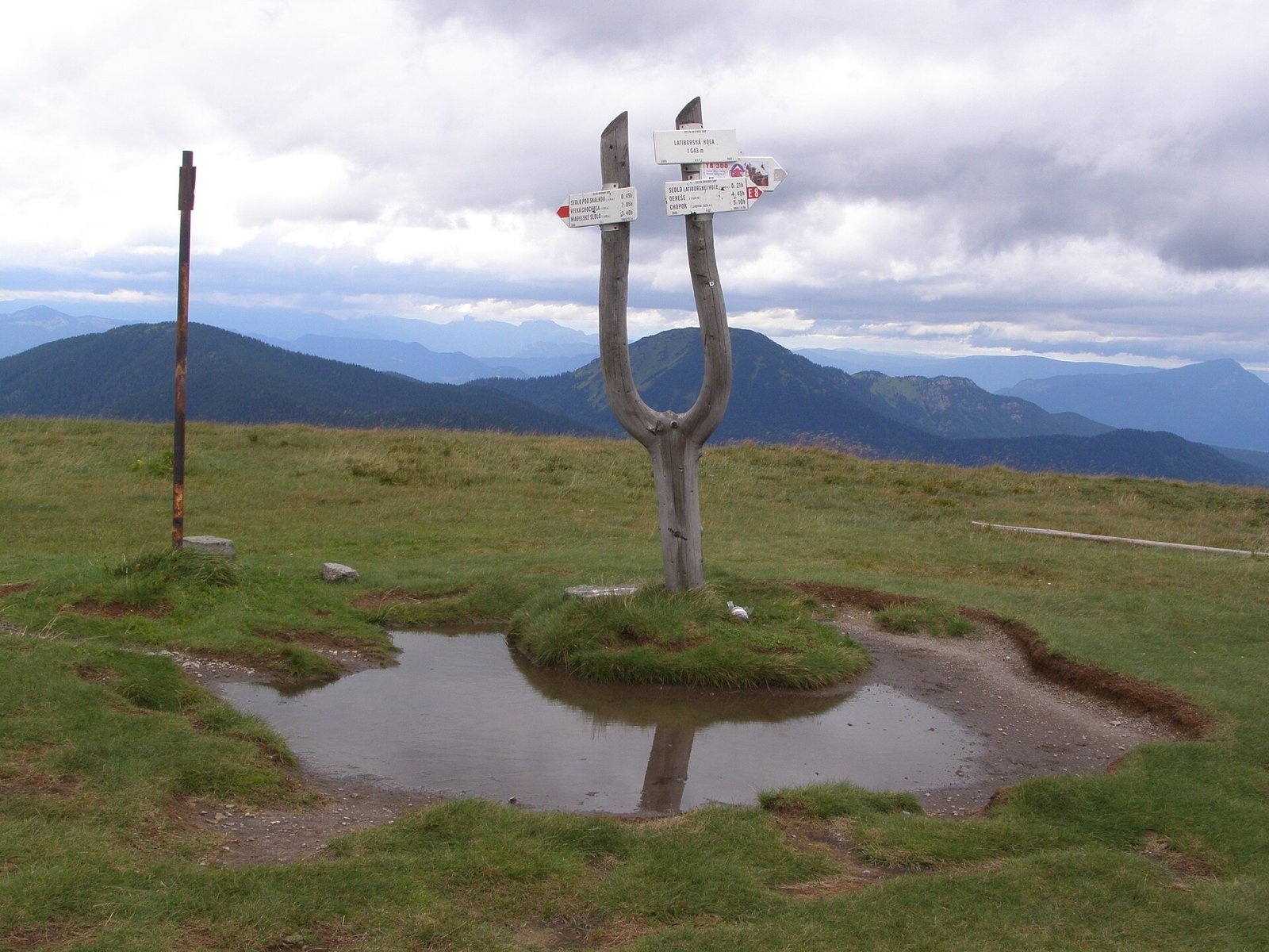
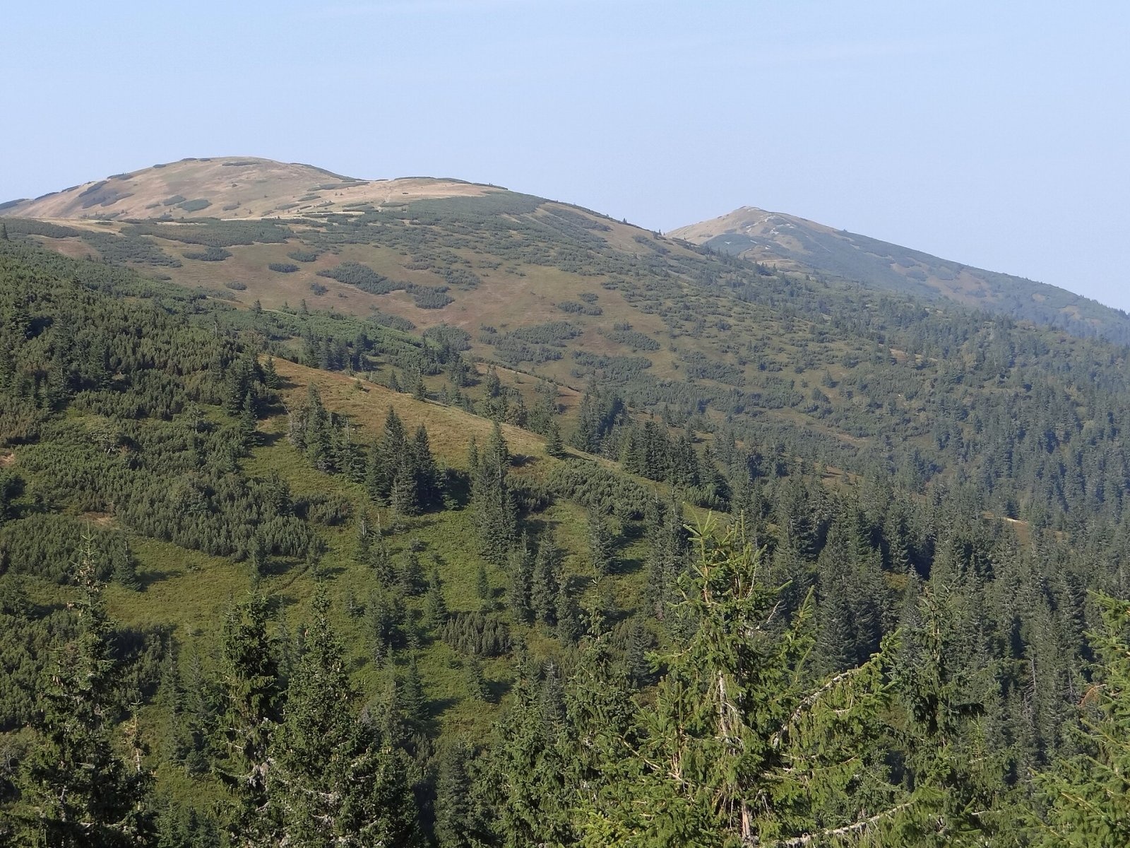
Latiborská hoľa is a broad, treeless summit 1648 m high on the main ridge of the Low Tatras, in the western part of the Ďumbier Tatras, Slovakia. It lies between Veľká hoľa (1640 m) to the west and Ďurková (1750 m) to the east, above the hamlets of Železnô and Magurka on the northern slope; Liptovská Lúžna lies to the west and Jasenie to the south-east. The summit is about 18 km south-east of Ružomberok. The border between the Žilina and Banská Bystrica regions runs over it, and its slopes belong to Partizánska Ľupča and Jasenie. The whole massif is part of the Low Tatras National Park (NAPANT).
Getting there / routes
The main red ridge trail of the Low Tatras, the SNP Heroes’ Trail (Cesta hrdinov SNP), crosses the summit; here it is also part of the European long-distance path E8.
- Red from the west: from Donovaly via Hiadeľské sedlo, Prašivá, Veľká Chochuľa, Košarisko, Skalka and Veľká hoľa. The section from Hiadeľské sedlo to Latiborská hoľa is 13.7 km with 970 m of ascent, about 4 h 30 min.
- Red from the east: from Chabenec via Ďurková and Zámostská hoľa.
- Blue: from Magurka to Sedlo Latiborskej hole (1540 m), about 1 km east of the summit.
- Yellow: from the west from Liptovská Lúžna via Sedlo pod Skalkou.
What you can see from the summit
The ridge and summit carry only low grassy vegetation, so the view is all-round, especially fine to the north and east. In clear weather you can see the other Low Tatra peaks as well as the Kremnica Mountains, the Greater and Lesser Fatra, Orava Magura and the Beskids, the Choč Mountains, the Western Tatras, the Vepor Mountains and Poľana.
Nature and history
The summit lies in the granite part of the range, between the Ľupčianska valley to the north and the Jasenská valley to the south. A short ridge drops north into the fork of the Prievalský and Ľupčianka streams, and a ridge runs south via Skalka, splitting the upper Jasenská valley into two branches. The northern side drains to the Váh (tributaries of the Lúžňanka and Ľupčianka), the southern slopes to the Hron.
From the Middle Ages until the early 20th century the northern slopes, especially towards Magurka, were intensively mined for gold, silver and later antimony. Adits, high spoil heaps and traces of old mining roads and paths are still clearly visible from the summit. The mountain was once called Zlatý bor (“golden pine wood”) in Slovak, a name that German miners in Magurka corrupted to “Latibor”; hence the modern name, with hoľa meaning mountain pasture.
Safety, season and rules
The ridge above the tree line is fully exposed: strong wind is common, summer brings thunderstorms and fog can hide the path quickly. In winter there is deep snow, blizzards and avalanche danger. Do not enter old mine adits — they collapse. Walk only on the marked trails of the national park and check NAPANT notices. Slovak Mountain Rescue Service (HZS): 18 300 (+421 18 300), general emergency number 112.
Photos: Michal Klajban, CC BY-SA 3.0; Michal Klajban, CC BY-SA 3.0; Michal Klajban, CC BY-SA 3.0; Daniel Baránek, CC BY-SA 3.0; Jerzy Opioła, CC BY-SA 4.0; Daniel Baránek, CC BY-SA 3.0; Jerzy Opioła, CC BY-SA 4.0 — Wikimedia Commons.
Getting there from Ukraine
Border crossings
- Uzhhorod – Vyšné Nemecké — road, 24/7
- Malyi Bereznyi – Ubľa — road, 24/7 For cars and buses; pedestrians not confirmed by the Ukrainian border service, lorries up to 3.5 t.
- Mali Selmentsi – Veľké Slemence (pedestrian) — pedestrian, 09:00–21:00 Kyiv time Pedestrians and cyclists only; inconvenient for the Tatras without onward transport.
- Chop – Čierna nad Tisou (rail) — rail, 24/7
By car
From Uzhhorod ≈275 km, ≈3 h 35 min without queues: Uzhhorod – Vyšné Nemecké → I/19 to Košice → D1 motorway via Prešov, Poprad and Liptovský Mikuláš to Ružomberok (≈270 km, ≈3 h 25 min from the border). From Lviv it is faster through Poland: M-10 → Krakovets – Korczowa → A4 to Kraków → S7/DK7 to the Chyżne – Trstená border → R3 and I/59 via Dolný Kubín to Ružomberok: ≈482 km, ≈6 h 15 min (via Uzhok and Ubľa ≈500 km, ≈7 h 30 min). The D1 requires an e-vignette (eznamka.sk).
Checked 23.10.2026; border crossing hours and timetables change — check before you travel.
Location on the map
Water and shelter nearby
- Spring below Latiborská hoľa (east slope)530 m · Not verified · 1 490 m
- Spring below Latiborská hoľa (west slope)620 m · Not verified · 1 434 m
- Spring below Latiborská hoľa (south-west slope), 1 403 m730 m · Not verified · 1 403 m
- Latiborská730 m · Not verified · 1 304 m
- Spring below Latiborská hoľa (north slope)740 m · Not verified · 1 303 m
- Spring below Turánske (south-east slope), 1 297 m810 m · Not verified · 1 297 m
- Spring below Turánske (south-east slope), 1 282 m870 m · Not verified · 1 282 m
- Spring below Latiborská hoľa (north-east slope)890 m · Not verified · 1 395 m
- Spring below Latiborská hoľa (south-west slope), 1 408 m890 m · Not verified · 1 408 m
- Spring below Turánske (south-east slope), 1 299 m910 m · Not verified · 1 299 m
- Spring below Turánske (south-east slope), 1 252 m920 m · Not verified · 1 252 m
- Spring below Turánske (east slope), 1 240 m940 m · Not verified · 1 240 m
- Spring below Turánske (east slope), 1 236 m980 m · Not verified · 1 236 m
- Spring below Latiborská (south slope)980 m · Not verified · 1 301 m
- Spring below Latiborská (south-west slope), 1 262 m1 km · Not verified · 1 262 m
- Spring below Veľká hoľa (east slope)1.1 km · Not verified · 1 518 m
Comments
Trails nearby
All trails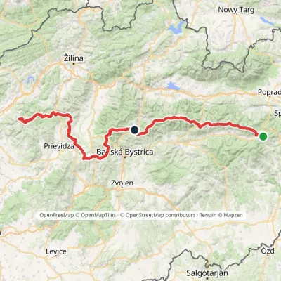 HardMulti-dayMarkedHorná Poruba, U Brdárov Pred ČuntavouElevation profile309–2 004 m241.6 kmascent 15 694 munder 1 km from Latiborská hoľa
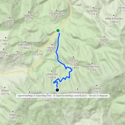 ModerateOne-dayMarkedĽupčianska dolina, Tajch Sedlo Latiborskej holeElevation profile799–1 558 m7.9 kmascent 761 m≈ 3.5 h walkingunder 1 km from Latiborská hoľa
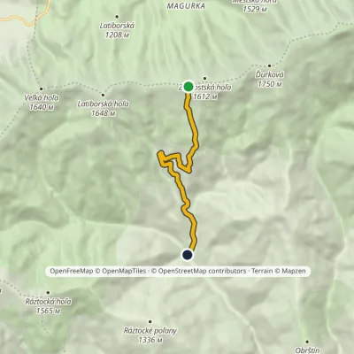 EasyOne-dayMarkedJasenianska kyslá Sedlo Zámostskej holeElevation profile691–1 591 m6.3 kmascent 4 m≈ 1.5 h walking1.9 km from Latiborská hoľa
Nearby attractions
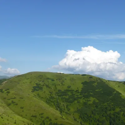 Mountain meadowHole of the western Low Tatras: from Prašivá to ĎurkováLiptovská Lúžnaaltitude 1 648 munder 1 km from Latiborská hoľaThe western part of the main ridge of the Low Tatras (Nízke Tatry) is almost 20 kilometres of continuous hole – grassy mountain pastures above the tree line.
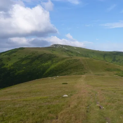 PeakĎurkováaltitude 1 750 m4 km from Latiborská hoľaĎurková is a broad, treeless summit 1750 m high on the main ridge of the Low Tatras, in the western part of the Ďumbier Tatras, Slovakia.
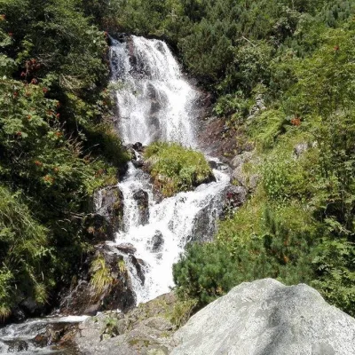 WaterfallVajskovský vodopád (Vajskovský Waterfall)Demänovská Dolina9.8 km from Latiborská hoľaVajskovský vodopád is a cascading waterfall in the upper part of the Vajskovská dolina on the southern side of the Low Tatras, within the Low Tatras National Park ...
Craft nearby
All craft places Water parks & thermal poolsBrusno Spa: mineral springs, treatments and Caracalla SpaBrusno16 km from Latiborská hoľaBrusno Spa (Kúpele Brusno) lies in the Hron valley (Horehronie), about 20 km north-east of Banská Bystrica, on the northern slopes of the Vepor massif in the Slovak...
 Water parks & thermal poolsBešeňová Water ParkBešeňová20 km from Latiborská hoľaBešeňová — the "thermal heart of Liptov" Bešeňová Water Park (Vodný park Bešeňová) lies on the edge of the village of the same name in the western part of the Liptov...
 Koliby & Hutsul cuisineSalaš Dechtáre above Liptovská MaraGalovany20 km from Latiborská hoľaSalaš Dechtáre is a wooden koliba above the Liptovská Mara reservoir that is described as one of Slovakia’s first commercial salaš restaurants.
 Craft beer & breweriesURSUS craft brewery, Čutkovská valleyRužomberok20 km from Latiborská hoľaURSUS craft brewery (Remeselný pivovar URSUS) is the first brewery of the town of Ružomberok, tucked away in the picturesque Čutkovská valley in lower Liptov.
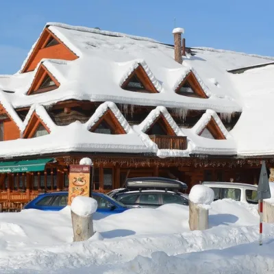 Koliby & Hutsul cuisineKoliba Strachanovka, Jánska valleyLiptovský Ján23 km from Latiborská hoľaKoliba Strachanovka (Jánska koliba) is a large wooden koliba at the entrance to the Jánska valley in the village of Liptovský Ján, which locals consider one of the...
 Craft beer & breweriesLiptovar brewery, Liptovský Mikuláš: craft beer and brewpubLiptovský Mikuláš23 km from Latiborská hoľaLiptovský Mikuláš is the main town of the Liptov region, a short drive from the Low and Western Tatras, the Demänovská Valley and the Liptovská Mara reservoir.
