Złomisty Wierch
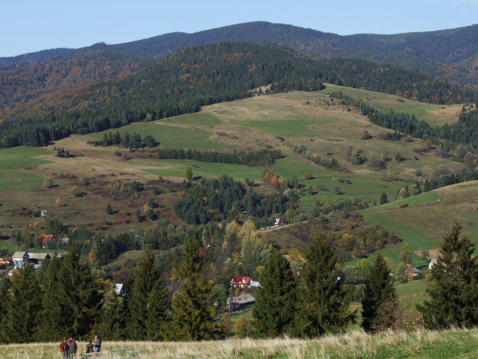
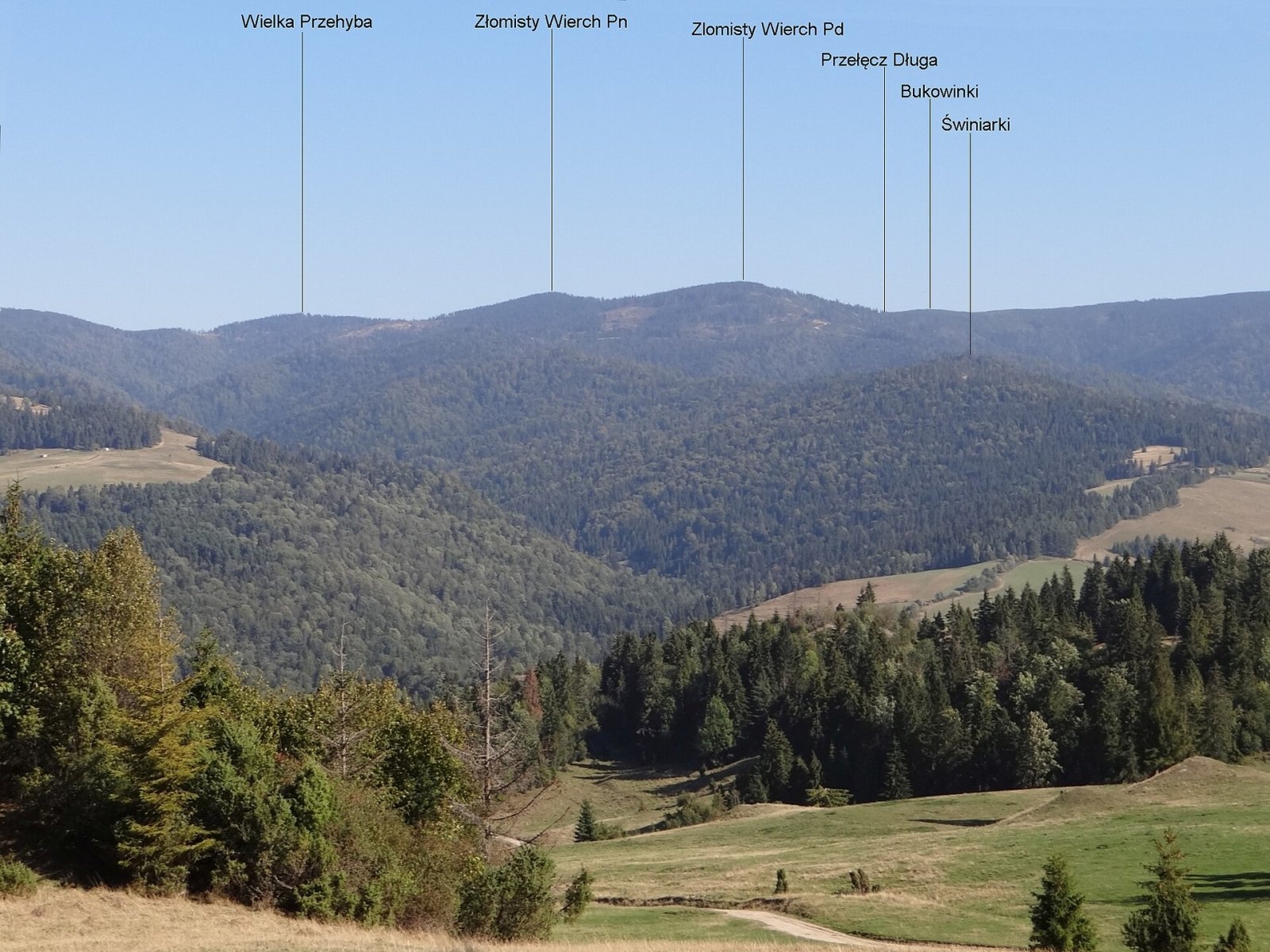
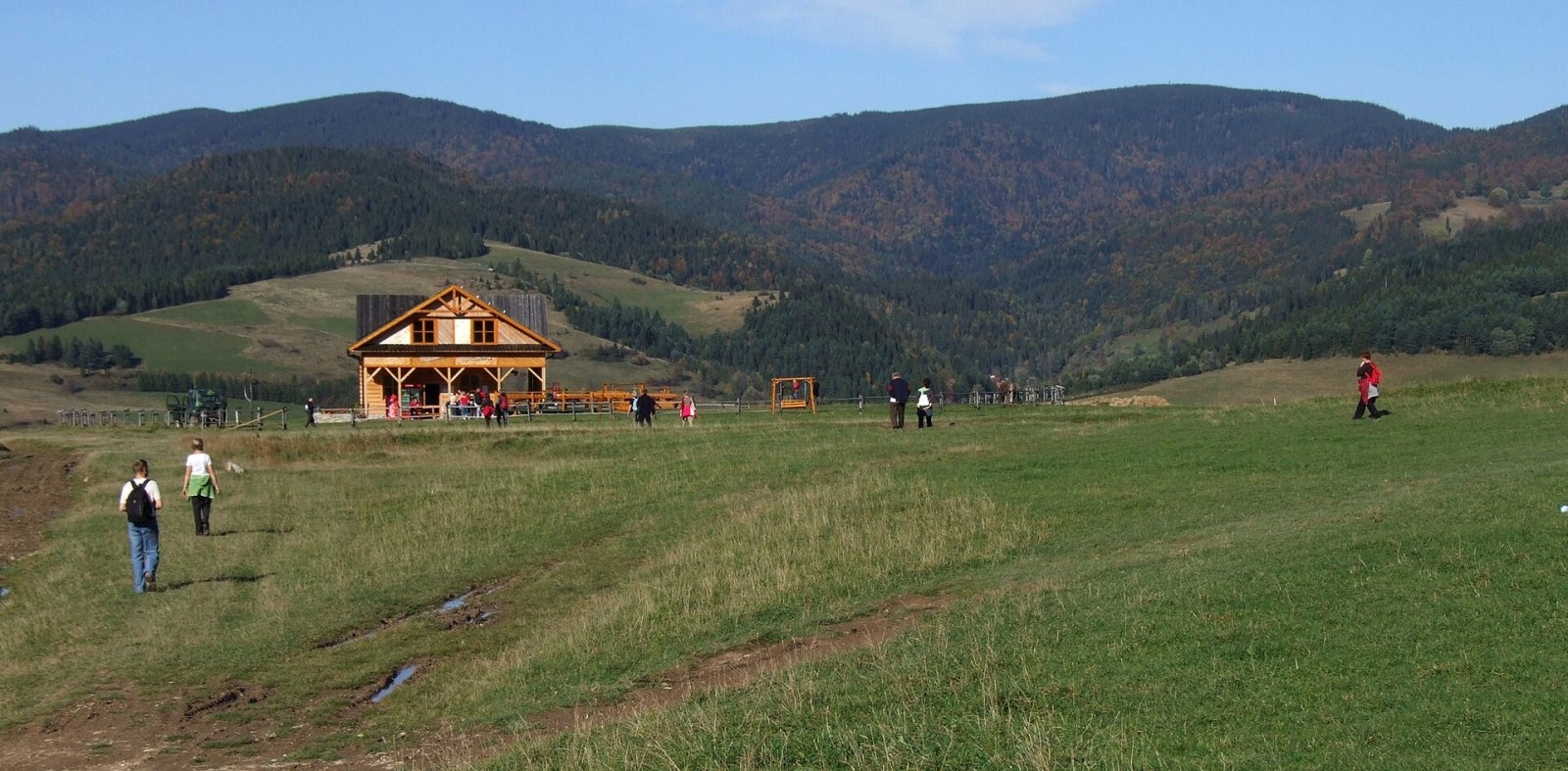
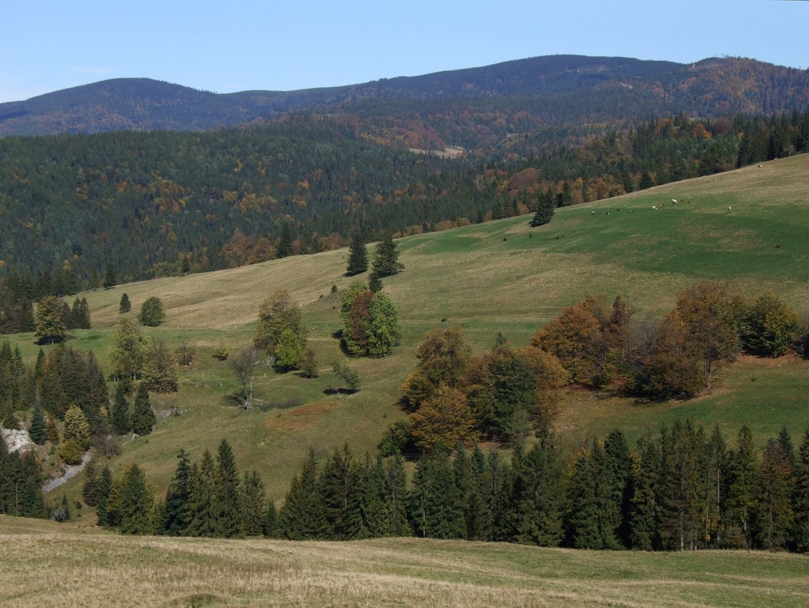
Złomisty Wierch is a pair of wooded tops on the main ridge of the Radziejowa Range in the Sądecki Beskids, about 700 m apart. The higher one, Złomisty Wierch Północny (North, 1,224 m), is the second-highest summit of the whole Sądecki Beskids after Radziejowa. The lower Złomisty Wierch Południowy (South) reaches 1,215 m. The tops carry the boundary between the villages of Jaworki (Nowy Targ County) and Roztoka Ryterska (Nowy Sącz County) in Lesser Poland; the nearest hamlets lie 4–5 km away in the valleys.
The northern top stands between Wielka Prehyba (1,191 m) and the southern top; its eastern slope falls to the headwaters of the Lajpcyk stream, the western one to the Stary Potok. The southern top is a junction: a ridge with the Kotelnice slope and the Świniarki summit runs south from it to the Grajcarek valley, while the main ridge continues east to Bukowinki (1,209 m). Three streams rise on the slopes of the southern top, among them the Czarna Woda and the Średni Potok.
How to get there / trails
- Red Main Beskid Trail (GSB): Rytro — Niemcowa — Radziejowa — Złomisty Wierch South and North — Prehyba — Krościenko. The European long-distance path E3 and the international Eisenach – Budapest mountain trail follow this section too.
- The forest Ścieżka Teodora (Theodore's Path) runs parallel along the northern slopes of the range.
- In winter a red ski route leads from Prehyba to Rytro — along the line of a former green footpath that once descended from below the summit to Hala Konieczna.
The sources give no official walking time to Złomisty Wierch itself; the nearest reference points on the ridge are Prehyba with its hut and Radziejowa.
The view from the top
The whole Złomisty Wierch massif is wooded. Some decades ago a mass outbreak of a pest, the spruce web-spinning sawfly (Polish: zasnuja wysokogórska), stripped large parts of the Radziejowa Range of trees, and the ridge between Prehyba and Wielki Rogacz became open with wide views. The forest is now regenerating, so the views are already very limited.
Name and history
In their 1929 guidebook, Nitribitt and Hetper called the lower, southern top Złamany Wierch ("Broken Peak"), probably because the main ridge bends there. The higher northern top had no name: local people evidently saw no need for one. But as it is the second-highest summit of the Sądecki Beskids, mapmakers introduced a name for both tops, distinguishing them as north and south. About 50 m from the footpath near the southern top a track leads south to the Młaki clearing, which is gradually becoming overgrown; there was once a tar works there, used by partisans as quarters during the Second World War.
Safety, season and rules
This is a wooded ridge without crags, accessible all year but far from villages; there is hardly any water on the ridge, and in winter the path is snowbound. The southern slopes are criss-crossed by a dense network of forest roads used to haul timber from the dead forest — in fog, stay with the waymarks. Mountain rescue in the Beskids is provided by GOPR: 985 or +48 601 100 300, and 112.
Photos: Jerzy Opioła, CC BY-SA 4.0; Jerzy Opioła, CC BY-SA 4.0; Jerzy Opioła, CC BY-SA 4.0; Jerzy Opioła, CC BY-SA 4.0 — Wikimedia Commons.
Getting there from Ukraine
Border crossings
- Krakovets – Korczowa — road, 24/7
- Shehyni – Medyka — road, 24/7 Pedestrian crossing is not confirmed by the Ukrainian border service — check dpsu.gov.ua before the trip.
- Smilnytsia – Krościenko — road, 24/7
- Hrushiv – Budomierz — road, 24/7
- Mostyska – Przemyśl (rail) — rail, 24/7
By car
Lviv – Szczawnica ≈384 km, ≈5 h 25 min without queues: M-10 → Krakovets – Korczowa → A4 to Brzesko (≈198 km) → DK75 to Nowy Sącz → DW969 via Stary Sącz and Łącko to Krościenko nad Dunajcem → Szczawnica. ≈306 km, ≈4 h from the border.
Checked 23.10.2026; border crossing hours and timetables change — check before you travel.
Location on the map
Water and shelter nearby
- Przehyba Hut1.7 km · Standing · 1 138 m
- Spring below Skałka (north-east slope), 1 049 m2.9 km · Not verified · 1 049 m
Comments
Trails nearby
All trails HardMulti-dayMarkedMain Trail of BeskidyElevation profile309–1 723 m499.9 kmascent 19 519 munder 1 km from Złomisty Wierch
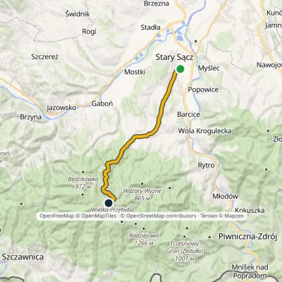 ModerateOne-dayMarkedStary Sącz PrzehybaElevation profile308–1 150 m14.7 kmascent 847 m≈ 5.5 h walking1 km from Złomisty Wierch
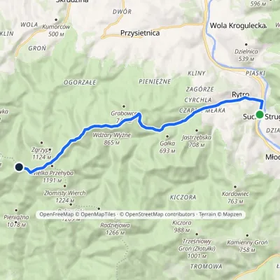 ModerateOne-dayMarkedRytro PrzehybaElevation profile347–1 175 m11.6 kmascent 859 m≈ 4.5 h walking1 km from Złomisty Wierch
Nearby attractions
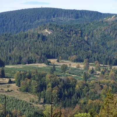 PeakRadziejowaJaworkialtitude 1 266 m2.3 km from Złomisty WierchRadziejowa is the highest summit of the Sącz Beskids (Beskid Sądecki), 1,266 m high, and one of the mountains of the Crown of Polish Mountains.
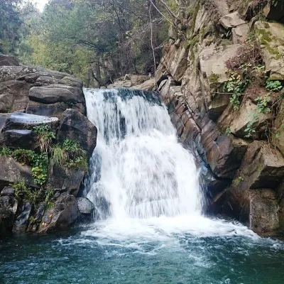 WaterfallZaskalnik FallsSzczawnica5.9 km from Złomisty WierchZaskalnik is a small but very picturesque waterfall on the Sopotnicki stream (Sopotnicki Potok) near the spa town of Szczawnica.
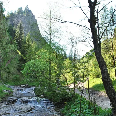 NatureHomole GorgeJaworki6.8 km from Złomisty WierchThe Homole Gorge (Wąwóz Homole) is one of the most beautiful rocky gorges in Poland. It lies in the Little Pieniny, in the Lemko village of Jaworki near Szczawnica.
Craft nearby
All craft places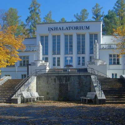 Water parks & thermal poolsSzczawnica spa: pump room, waters and the InhalatoriumSzczawnica7.4 km from Złomisty WierchThe Szczawnica spa (Uzdrowisko Szczawnica) is all about water and air: in the valley of the Grajcarek stream, between the Pieniny and the Beskid Sądecki at 430–500 m,...
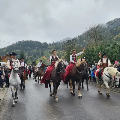 Markets & fairsAutumn Redyk in Szczawnica: sheep drive, oscypek and shepherdsSzczawnica9.5 km from Złomisty WierchRedyk is an old Carpathian shepherding custom: in spring the flocks are driven up to the mountain pastures (hale), and in autumn, after the cheese-making season, they...
 Craft beer & breweriesPersonall Kraft Brewpub, Stary SączStary Sącz13 km from Złomisty WierchPersonall Kraft is a family-run brewpub in Stary Sącz where the beer is brewed right in the dining hall: the big brewing vessels are visible from the tables.
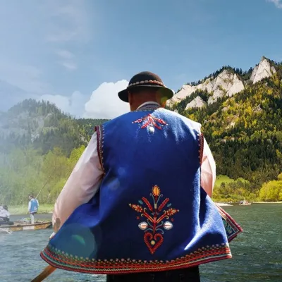 Ethno tours & guidesGoral raftsmen of Červený Kláštor: wooden-raft trip on the DunajecČervený Kláštor14 km from Złomisty WierchBetween Červený Kláštor and Lesnica the Dunajec cuts a deep, winding gorge through the limestone Pieniny, and here the river becomes the border between Slovakia and...
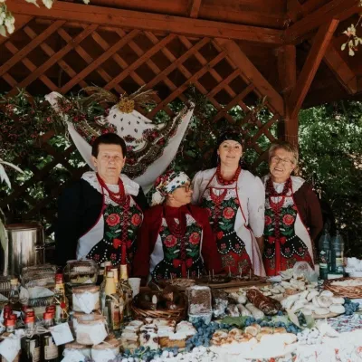 Markets & fairsFruit Harvest Festival in Łącko: village stands, fruit and folkloreŁącko16 km from Złomisty WierchŁącko, in the Dunajec valley between Stary Sącz and the Pieniny, is one of Poland's best-known fruit-growing areas: the slopes around are covered with apple, pear and...
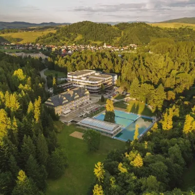 Water parks & thermal poolsVyšné Ružbachy Spa: Izabela Mountain Pools and Indoor Thermal PoolVyšné Ružbachy17 km from Złomisty WierchVyšné Ružbachy is one of Slovakia’s oldest spas. It lies on the south-eastern slope of the Spišská Magura at about 617 m, surrounded by coniferous forest that merges...
