Luboń Wielki
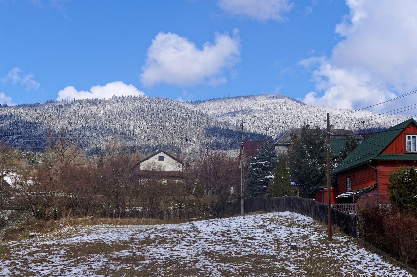
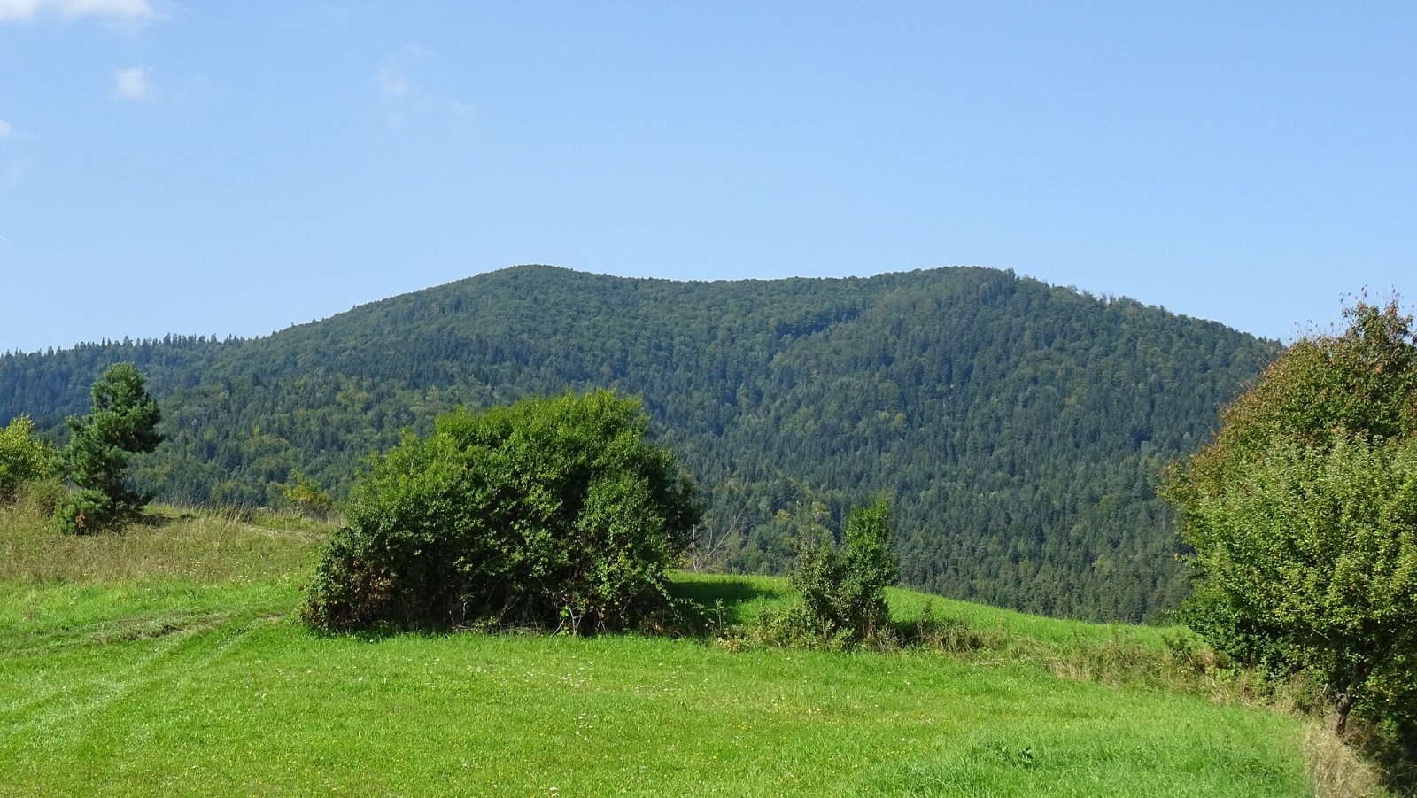
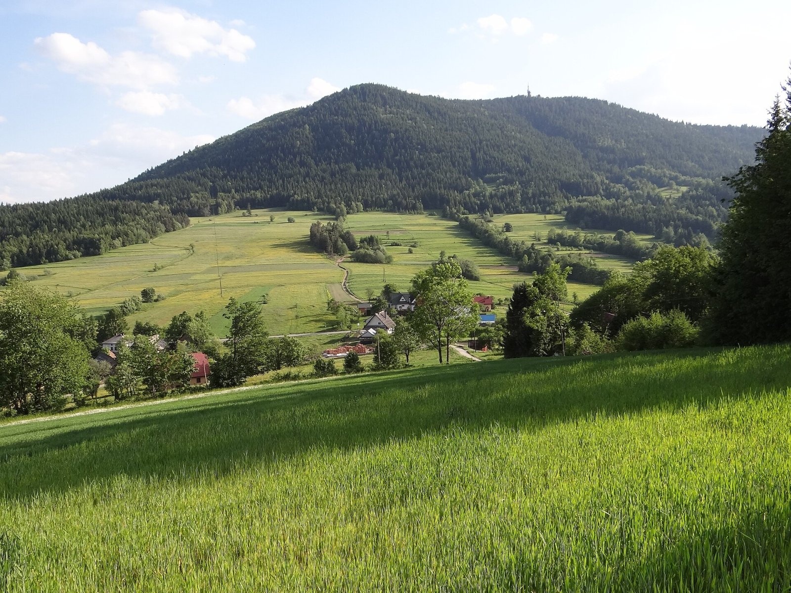
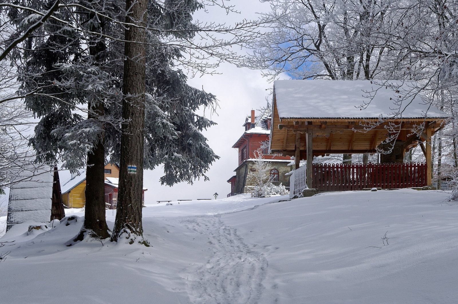
Luboń Wielki is a 1,022 m summit and the most prominent mountain of the Island Beskids, rising about 512 m above its key col. In the national register of geographical names it is listed simply as Luboń, but tourist literature and maps call it Luboń Wielki to distinguish it from other peaks of the same name. Local people once called it Biernatka. It stands north of the spa town of Rabka-Zdrój, where Limanowa, Nowy Targ and Sucha counties of Lesser Poland meet.
The fields and farmsteads of Tenczyn, Glisne, Krzeczów, Mszana Dolna, Raba Niżna, Rabka-Zdrój (Zaryte) and Skomielna Biała lie at its foot. The Glisne Pass (634 m) separates it from neighbouring Szczebel. A long ridge with Luboń Mały runs west from the summit all the way to Naprawa. All streams of the massif feed the Raba or its tributary, the Smugawka, and the massif rises almost 500 m above their valleys.
How to get there / trails
Five marked trails lead to Luboń Wielki:
- Yellow "Perć Borkowskiego" from Rabka-Zaryte through the nature reserve — the hardest route, with scrambling over rocks inside the reserve. 5.1 km, 560 m of ascent, about 2 h up (1 h 30 min down).
- Red Little Beskid Trail (MSB) from Mszana Dolna via the Glisne Pass: 8.3 km, 560 m of ascent, 2 h 15 min (1 h 50 min down). This long-distance trail ends on the summit.
- From Naprawa Dolna via Luboń Mały and the Surówki clearing: 7.6 km, 460 m of ascent, 2 h 15 min (1 h 40 min down); the blue trail crosses the clearing.
- Two more trails from Rabka-Zaryte: 4.4 km (530 m of ascent, 1 h 50 min, 1 h 05 min down) and the shortest, along the Rolski Potok, 3.3 km (550 m of ascent, 1 h 20 min, 50 min down). OSM shows a blue trail and the green PTTK Rabka – Luboń trail on this side.
The view from the top
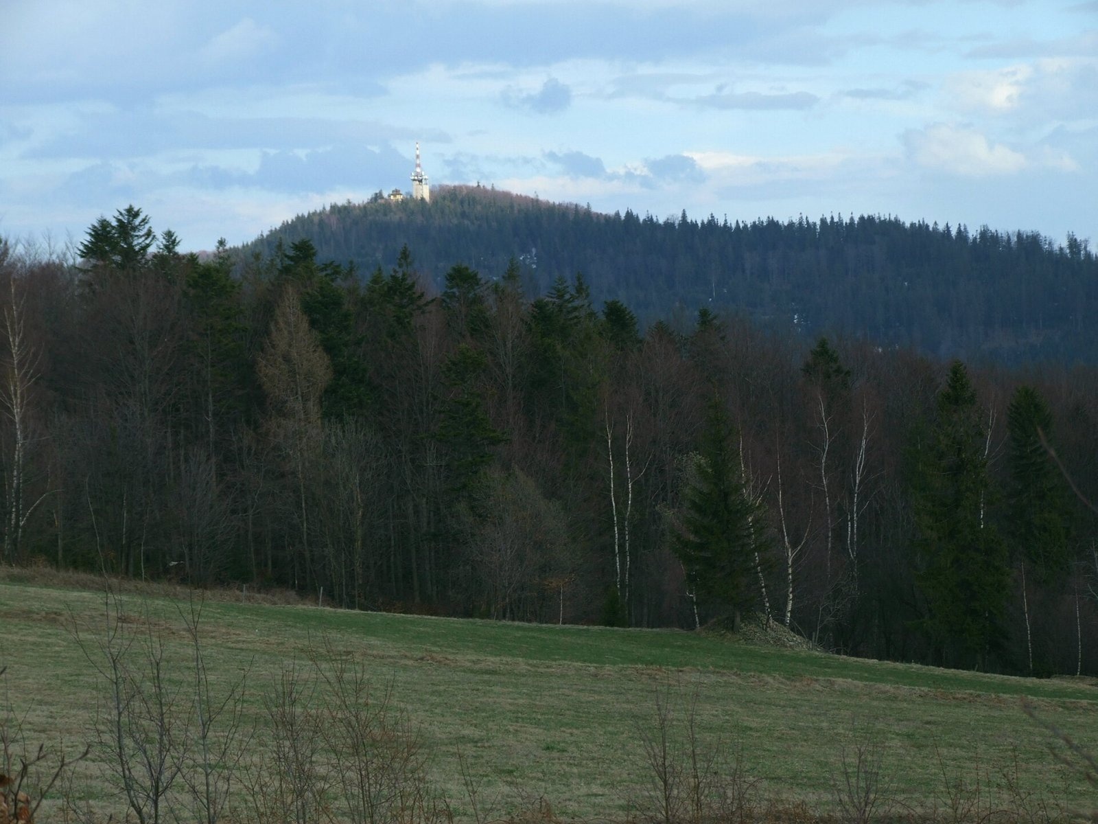
The summit offers views to the north and west. The widest panorama is from the Surówki clearing on the western ridge, crossed by the blue trail: from there you can see the Tatras, the Gorce and Babia Góra. The mountain is easy to recognise from afar by the mast of its radio and TV transmitter.
Nature and history
The lower slopes are covered with spruce and fir forest, the upper ones with Carpathian beech forest. Two clearings survive, Surówki and Lugusowa. On the south-eastern slope a nature reserve of about 12 ha protects the largest block field in the Island Beskids, the rocks known as Dziurawe Turnie and a cave. Many legends and folk tales are linked to the summit.
On the summit stands a small PTTK hut built in 1931; it survived the Second World War and in 2009 was entered in the register of historic monuments of the Lesser Poland Voivodeship. Next to it are a radio and TV station and a weather station. The transmitter was built in 1961 to broadcast the FIS World Championships in Zakopane. During the war the large wooded massif sheltered partisans: halfway along the Czarny Potok, in a place called Jamy, they had a camouflaged dugout and a wooden barrack, and at times they also occupied the summit hut.
Safety, season and rules
The mountain is accessible all year. Perć Borkowskiego crosses rocks and the block field, which are slippery in rain and ice, so it is best used for the ascent in dry weather, coming down by another path. Do not leave the marked trail inside the reserve. The mountain lies outside national parks.
Mountain rescue in the Beskids is provided by GOPR: 985 or +48 601 100 300, and 112.
Photos: Jakub Hałun, CC BY-SA 4.0; Jan Biernat, CC BY-SA 4.0; Jerzy Opioła, CC BY-SA 4.0; Jerzy Opioła, CC BY-SA 4.0; Jakub Hałun, CC BY-SA 4.0; Jerzy Opioła, CC BY-SA 3.0; Jakub Hałun, CC BY-SA 4.0 — Wikimedia Commons.
Getting there from Ukraine
Border crossings
- Krakovets – Korczowa — road, 24/7
- Shehyni – Medyka — road, 24/7 Pedestrian crossing is not confirmed by the Ukrainian border service — check dpsu.gov.ua before the trip.
- Smilnytsia – Krościenko — road, 24/7
- Hrushiv – Budomierz — road, 24/7
- Mostyska – Przemyśl (rail) — rail, 24/7
By car
Lviv – Zakopane ≈421 km, ≈5 h 10 min without border queues. Route: M-10 Lviv – Krakovets → Krakovets – Korczowa checkpoint → A4 motorway (Rzeszów – Tarnów – Kraków) → Kraków southern bypass → S7/DK7 → DK47 ('Zakopianka') via Nowy Targ → Zakopane. The A4 Katowice – Kraków section (Balice and Mysłowice toll plazas) is tolled, but this route does not use it. In summer and at weekends the DK47 near Zakopane is often congested.
Checked 23.10.2026; border crossing hours and timetables change — check before you travel.
Location on the map
Water and shelter nearby
- PTTK Hut on Luboń Wielki10 m · Standing · 1 022 m
Comments
Trails nearby
All trails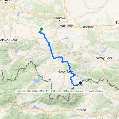 HardMulti-dayMarkedBrzeźnica KacwinElevation profile220–1 289 m143 kmascent 4 206 munder 1 km from Luboń Wielki
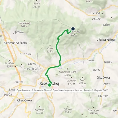 EasyOne-dayMarkedRabka LubońElevation profile462–1 022 m8.2 kmascent 562 m≈ 3 h walkingunder 1 km from Luboń Wielki
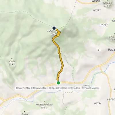 EasyOne-dayMarkedPerć BorkowskiegoElevation profile475–1 025 m3.4 kmascent 550 m≈ 2 h walkingunder 1 km from Luboń Wielki
Nearby attractions
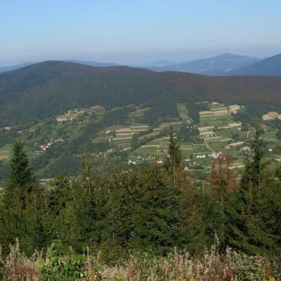 PeakSzczebelKlimkówkaaltitude 977 m4.1 km from Luboń WielkiSzczebel, also Strzebel, is a prominent 977 m mountain in the Island Beskids (Beskid Wyspowy). It stands right above the S7 «Zakopianka» expressway from Kraków to...
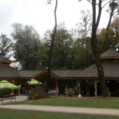 Water parks & thermal poolsRabka-Zdrój spa: brine graduation tower, pump rooms, treatmentsRabka-Zdrój5.7 km from Luboń WielkiRabka-Zdrój is a spa in the Raba valley between the Gorce, the Beskid Wyspowy and the Beskid Makowski, halfway from Kraków to Zakopane.
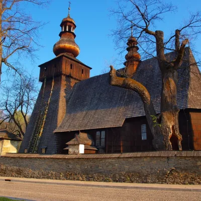 MuseumWładysław Orkan Museum in Rabka-ZdrójRabka-Zdrój5.7 km from Luboń WielkiThe Władysław Orkan Museum (Muzeum im. Władysława Orkana) in the spa town of Rabka-Zdrój is one of the oldest regional museums in the Polish Beskids.
Craft nearby
All craft places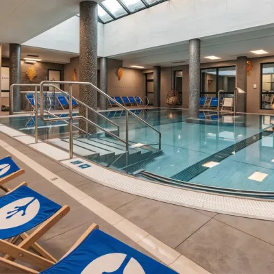 Water parks & thermal poolsTermy Gorce thermal bathsNiedźwiedź7 km from Luboń WielkiTermy Gorce is a small, cosy thermal complex in the village of Poręba Wielka, in the municipality of Niedźwiedź, at the foot of the Gorce Mountains.
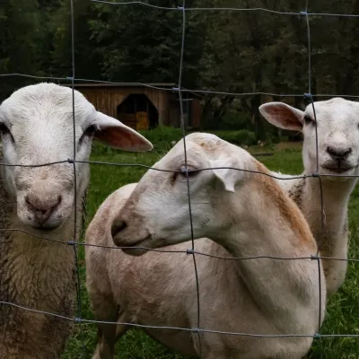 Eco farmsOrawskie Ranczo Educational Farm, Harkabuz: animals and craft workshopsHarkabuz17 km from Luboń WielkiOrawskie Ranczo is a small family educational farm (zagroda edukacyjna) in the village of Harkabuz near Raba Wyżna, where Orawa meets Podhale.
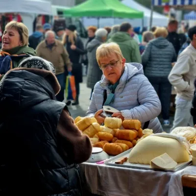 Markets & fairsNowy Targ Fair (Nowa Targowica)Nowy Targ19 km from Luboń WielkiThe fair in Nowy Targ is the largest and oldest market in Podhale. On Thursdays and Saturdays highlanders from the surrounding villages, Slovaks from across the border...
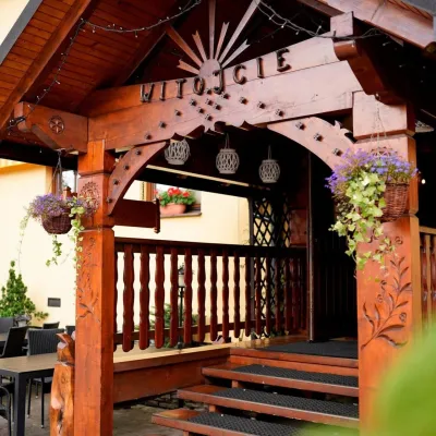 Koliby & Hutsul cuisineKarcma u Borzanka, Nowy Targ: highland food in an 18th-century innNowy Targ20 km from Luboń WielkiKarcma u Borzanka is a highland tavern in the oldest coaching inn of Nowy Targ, the capital of Podhale.
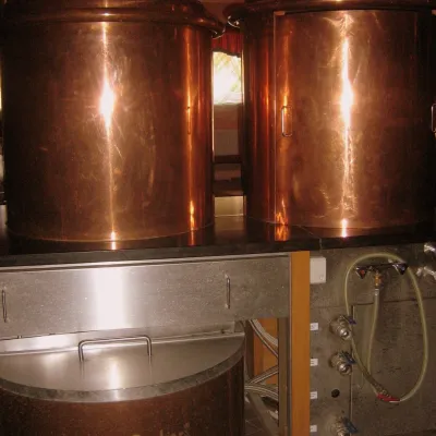 Craft shopsCistercian monastery shop, Szczyrzyc: abbey cheese, milk and Gryf beerSzczyrzyc20 km from Luboń WielkiIts heart is the Cistercian abbey: the monks arrived in the first half of the 13th century and, according to the monastery itself, have lived here without interruption...
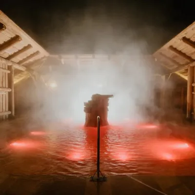 Water parks & thermal poolsTermy Gorący Potok (Szaflary)Bańska Niżna28 km from Luboń WielkiTermy Gorący Potok is a complex of outdoor thermal pools in Szaflary, between Nowy Targ and Zakopane, about 15 km from Zakopane.
