Lomné
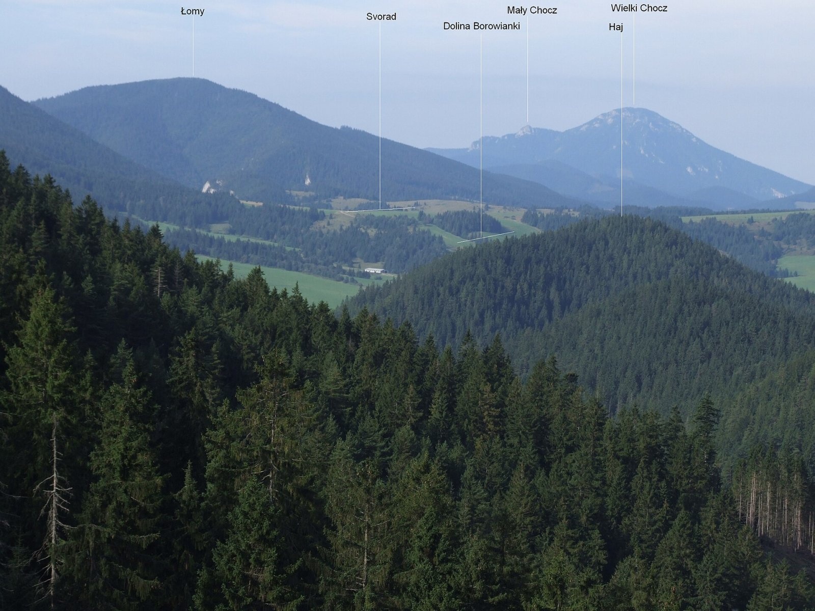
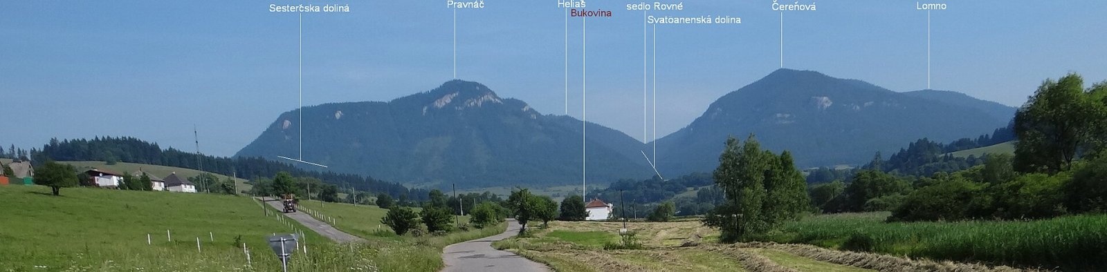
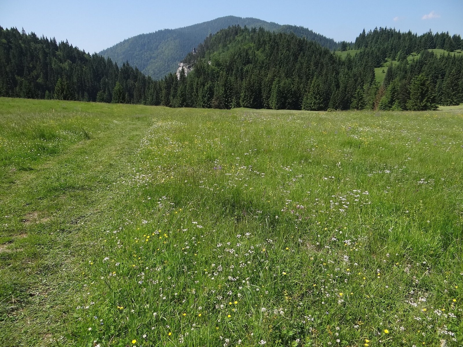
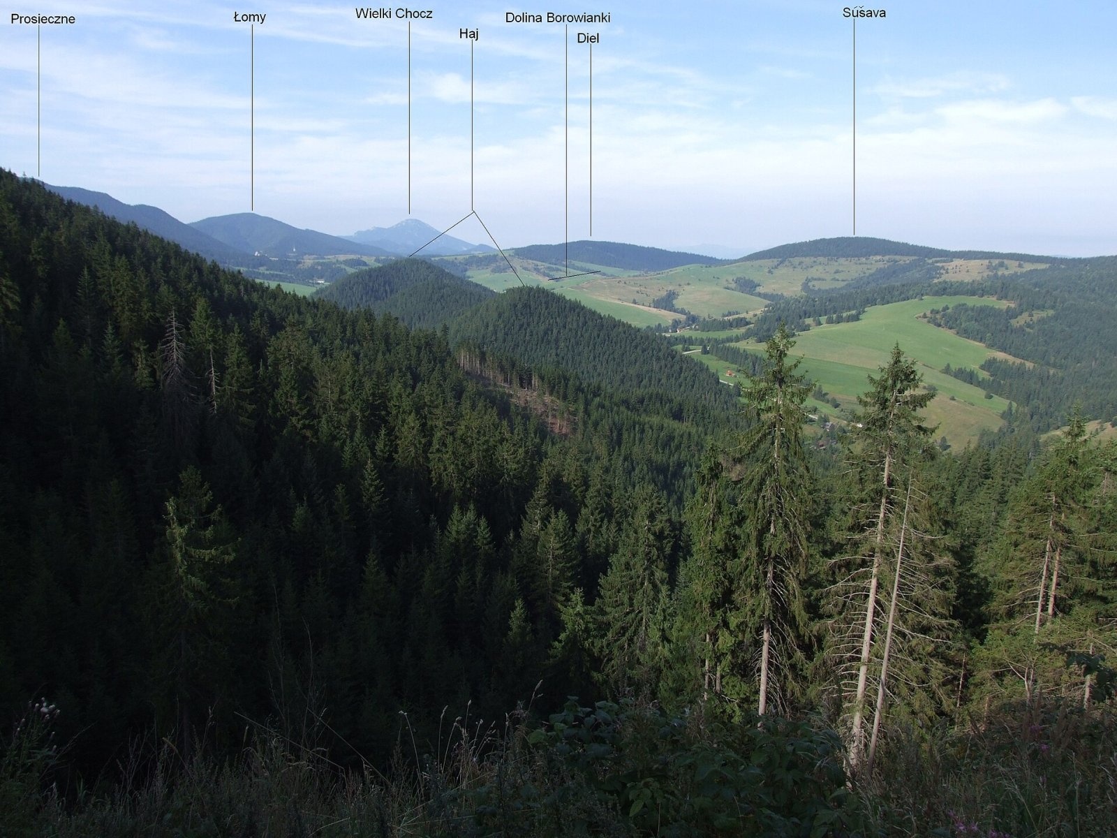
Lomné (also Lômy; Polish Łomy) is a 1278 m summit in the Slovak Choč Mountains. It rises above the famous Prosiecka dolina gorge, about 13 km north-west of Liptovský Mikuláš, in the Žilina Region. The mountain lies on the boundary of Liptovský Mikuláš and Dolný Kubín districts and reaches into the lands of Liptovská Anna, Prosiek and Malatiná – each about 3–4 km from the summit.
Lomné lies in the eastern half of the Choč Mountains, in the Prosečné group, and together with Čerenová (1221 m) forms a mighty massif. A shallow saddle separates them, and because the range is narrow here the massif stretches from its northern to its southern edge. The eastern slopes fall steeply into the Prosiecka dolina, the western ones into the Annina dolina, and the northern ones pass into the undulating Zuberec furrow. Neighbouring peaks are Heliaš (1186 m) to the west, Čerenová to the south, Prosečné (1372 m) to the east and Grúň (960 m) to the north. To the west the ridge drops to the Rovné saddle (1035 m), beyond which rises the Heliaš massif. The northern foot is drained by the Sestrč stream, the western by the Annin stream and the eastern by the Prosiečanka.
How to get there / routes
A green trail crosses the summit: from Liptovská Anna via Pravnáč, Heliaš and the Rovné saddle to Lomné, then down to the Svorad junction in the Prosiecka dolina.
- From Liptovská Anna – green trail via Pravnáč.
- From the Prosiecka dolina – up the green trail from the Svorad junction. Svorad can be reached from Prosiek through the Prosiecka dolina itself or from Veľké Borové.
- From Malatiná – marked path via Grúň and the Špania junction.
The sources give no official walking times, so plan the route with a Choč Mountains hiking map.
What you can see from the top
The summit area is covered by broken forest. The flat top used to be a large meadow, but today it is almost entirely overgrown, so the best views open from the rocks around the summit. To the west the Veľký Choč massif dominates; you can also see most of the Choč Mountains and the Liptov basin, as well as the Oravská Magura ridge, the Orava Beskids, the Malá and Veľká Fatra, the Low and Western Tatras and the Skorušinské vrchy.
Nature and history
The Lomné massif is built of thick, strongly folded limestone and dolomite complexes of the Choč nappe. The summit area is fairly broad and relatively flat, while the slopes, especially the eastern ones, are steep. These eastern slopes, almost up to the summit, belong to the Prosiecka dolina national nature reserve – one of the best-known gorges of Liptov. A ridge runs north-east from the summit with the indistinct hump of Grúň, already in the Sub-Tatra furrow, forming the watershed between the sources of the Prosiečanka and the Sesterský stream.
Safety, season and rules
The climbs to Lomné run through forest and are steep in places, and the rocks near the summit have drops – take care with children. Limestone is slippery after rain. In the Prosiecka dolina reserve stay on marked trails and do not pick plants. In the Slovak mountains help comes from the Mountain Rescue Service HZS: 18 300 (+421 18 300) or 112.
Interesting facts
- The mountain has two names, Lomné and Lômy; Polish sources use the form Łomy.
- The Prosiecka dolina below Lomné is a popular route that combines well with a climb to the summit via the Svorad junction.
Photos: Jerzy Opioła, CC BY-SA 4.0; Jerzy Opioła, CC BY-SA 3.0; Jerzy Opioła, CC BY-SA 3.0; Jerzy Opioła, CC BY-SA 4.0 — Wikimedia Commons.
Getting there from Ukraine
Border crossings
- Uzhhorod – Vyšné Nemecké — road, 24/7
- Malyi Bereznyi – Ubľa — road, 24/7 For cars and buses; pedestrians not confirmed by the Ukrainian border service, lorries up to 3.5 t.
- Mali Selmentsi – Veľké Slemence (pedestrian) — pedestrian, 09:00–21:00 Kyiv time Pedestrians and cyclists only; inconvenient for the Tatras without onward transport.
- Chop – Čierna nad Tisou (rail) — rail, 24/7
By car
From Uzhhorod ≈275 km, ≈3 h 35 min without queues: Uzhhorod – Vyšné Nemecké → I/19 to Košice → D1 motorway via Prešov, Poprad and Liptovský Mikuláš to Ružomberok (≈270 km, ≈3 h 25 min from the border). From Lviv it is faster through Poland: M-10 → Krakovets – Korczowa → A4 to Kraków → S7/DK7 to the Chyżne – Trstená border → R3 and I/59 via Dolný Kubín to Ružomberok: ≈482 km, ≈6 h 15 min (via Uzhok and Ubľa ≈500 km, ≈7 h 30 min). The D1 requires an e-vignette (eznamka.sk).
Checked 23.10.2026; border crossing hours and timetables change — check before you travel.
Location on the map
Water and shelter nearby
- Spring below Senná450 m · Not verified · 1 164 m
- Spring below Heliaš940 m · Not verified · 1 030 m
- Sestrč1.2 km · Not verified · 882 m
- Spring below Grúň (south slope), 920 m1.3 km · Not verified · 920 m
- Spring below Grúň (south slope), 922 m1.3 km · Not verified · 922 m
- Spring below Grúň (south-east slope), 934 m1.4 km · Not verified · 934 m
- Hut on Grúň1.4 km · Not verified · 933 m
- Spring below Grúň (south-west slope), 917 m (2)1.4 km · Not verified · 917 m
- Spring below Grúň (south-east slope), 932 m1.5 km · Not verified · 932 m
- Spring below Grúň (south-west slope), 917 m1.5 km · Not verified · 917 m
- Spring below Grúň (south-west slope), 876 m1.5 km · Not verified · 876 m
- Spring below Grúň (south-east slope), 931 m1.5 km · Not verified · 931 m
- Spring below Grúň (south-west slope), 919 m1.5 km · Not verified · 919 m
- zrub PZ Prosecné1.5 km · Not verified · 1 104 m
- Spring below Grúň (south slope), 936 m1.6 km · Not verified · 936 m
- Spring below Grúň (east slope)1.7 km · Not verified · 937 m
Comments
Trails nearby
All trails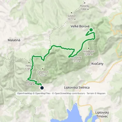 ModerateTwo-dayMarkedLiptovská Anna Dolina Borovianky, junctionElevation profile662–1 372 m17 kmascent 1 132 m≈ 6.5 h walkingunder 1 km from Lomné
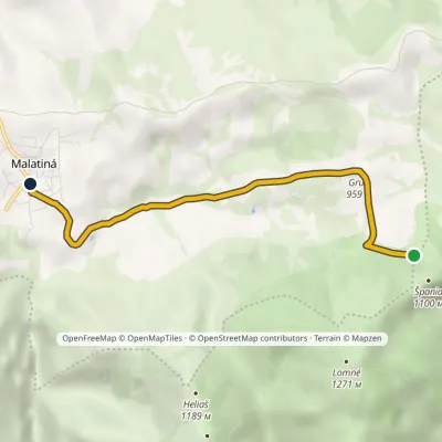 EasyOne-dayMarkedMalatiná, municipal office Malatinska RoveňElevation profile771–995 m4.6 kmascent 47 m≈ 1 h walking1 km from Lomné
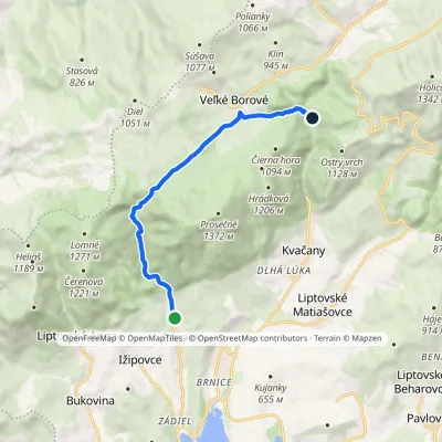 EasyOne-dayMarkedProsiek Oblazy, junctionElevation profile618–942 m8.8 kmascent 391 m≈ 3 h walking1.2 km from Lomné
Nearby attractions
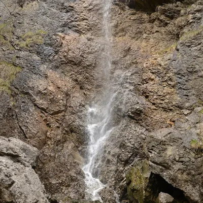 WaterfallČervené piesky waterfall in the Prosiecka valleyProsiek1.4 km from LomnéČervené piesky is a 15-metre waterfall in a side valley of the Prosiecka dolina in the Chočské vrchy of northern Slovakia, above the village of Prosiek in the Liptov...
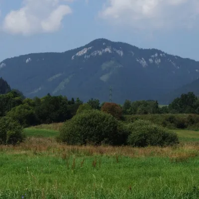 PeakPravnáčLiptovská Annaaltitude 1 206 m2.1 km from LomnéPravnáč (Polish Prawnacz) is a 1206 m summit in the Choč Mountains (Chočské vrchy) in northern Slovakia.
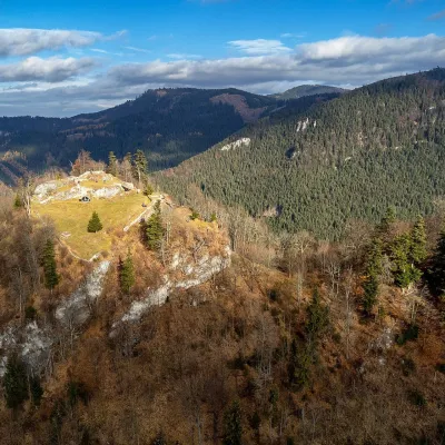 CastleLiptov Castle (ruins)Liptovská Sielnica3.9 km from LomnéLiptov Castle (Liptovský hrad), also known as Liptov Old Castle or Sielnica Castle, is the ruin of a medieval fortress on the summit of Sestrč (999.9 m) in the Choč...
Craft nearby
All craft places Water parks & thermal poolsLúčky Spa and AQUA-VITAL ParkLúčky6.7 km from LomnéLúčky Spa (Kúpele Lúčky) lies in a quiet valley beneath the Choč Mountains, in the village of Lúčky near Ružomberok.
 Water parks & thermal poolsBešeňová Water ParkBešeňová7.9 km from LomnéBešeňová — the "thermal heart of Liptov" Bešeňová Water Park (Vodný park Bešeňová) lies on the edge of the village of the same name in the western part of the Liptov...
 Koliby & Hutsul cuisineSalaš Dechtáre above Liptovská MaraGalovany9.2 km from LomnéSalaš Dechtáre is a wooden koliba above the Liptovská Mara reservoir that is described as one of Slovakia’s first commercial salaš restaurants.
 Water parks & thermal poolsAquapark TatralandiaLiptovský Mikuláš10 km from LomnéAquapark Tatralandia is a large year-round water leisure complex near Liptovský Mikuláš, on the northern shore of the Liptovská Mara reservoir.
 Craft beer & breweriesLiptovar brewery, Liptovský Mikuláš: craft beer and brewpubLiptovský Mikuláš15 km from LomnéLiptovský Mikuláš is the main town of the Liptov region, a short drive from the Low and Western Tatras, the Demänovská Valley and the Liptovská Mara reservoir.
 Craft beer & breweriesURSUS craft brewery, Čutkovská valleyRužomberok19 km from LomnéURSUS craft brewery (Remeselný pivovar URSUS) is the first brewery of the town of Ružomberok, tucked away in the picturesque Čutkovská valley in lower Liptov.
