Kacwinianka Waterfalls, Kacwin
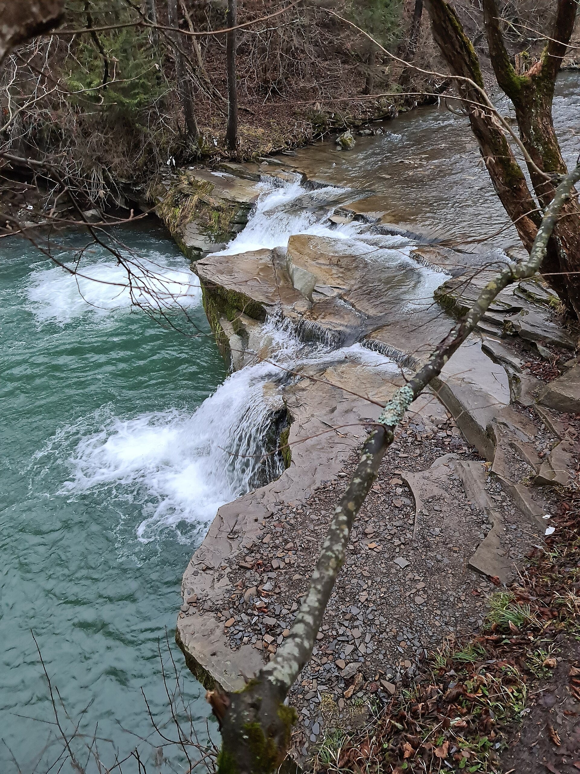
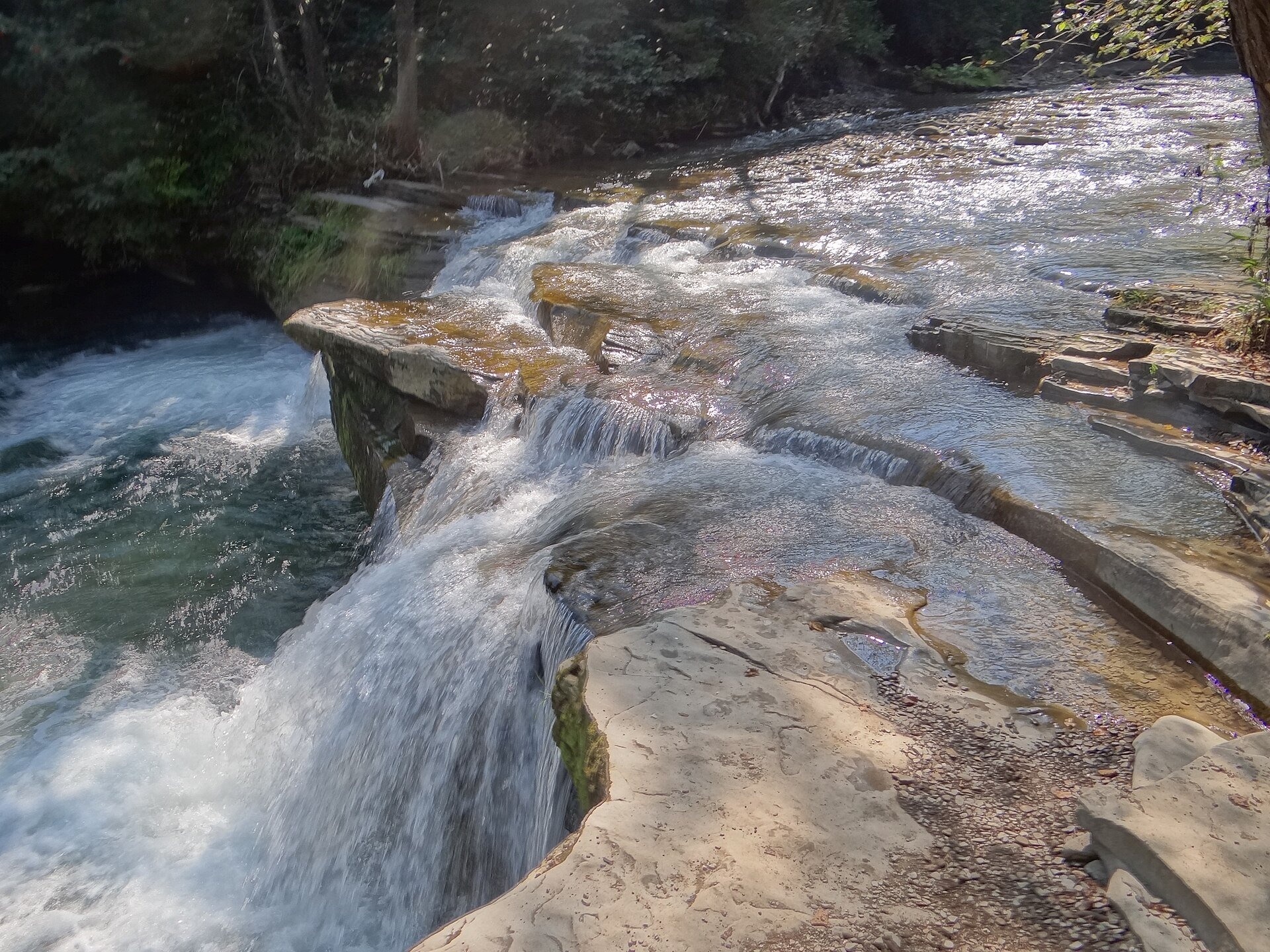
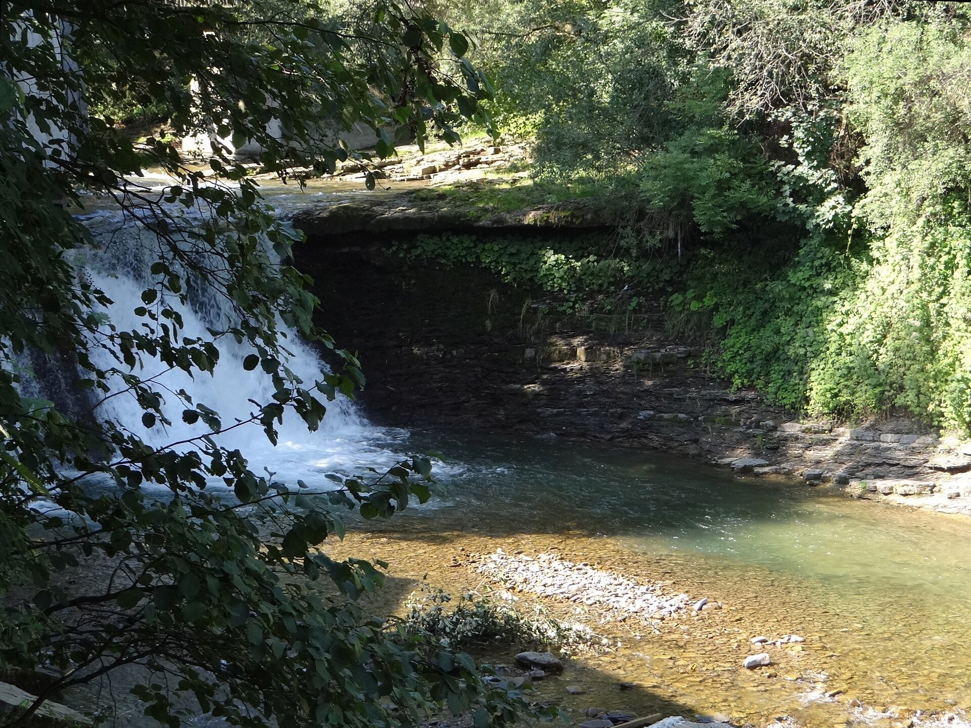
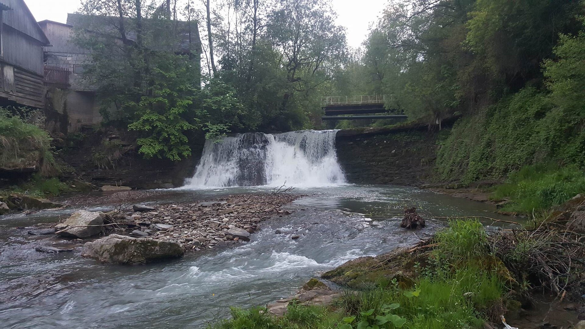
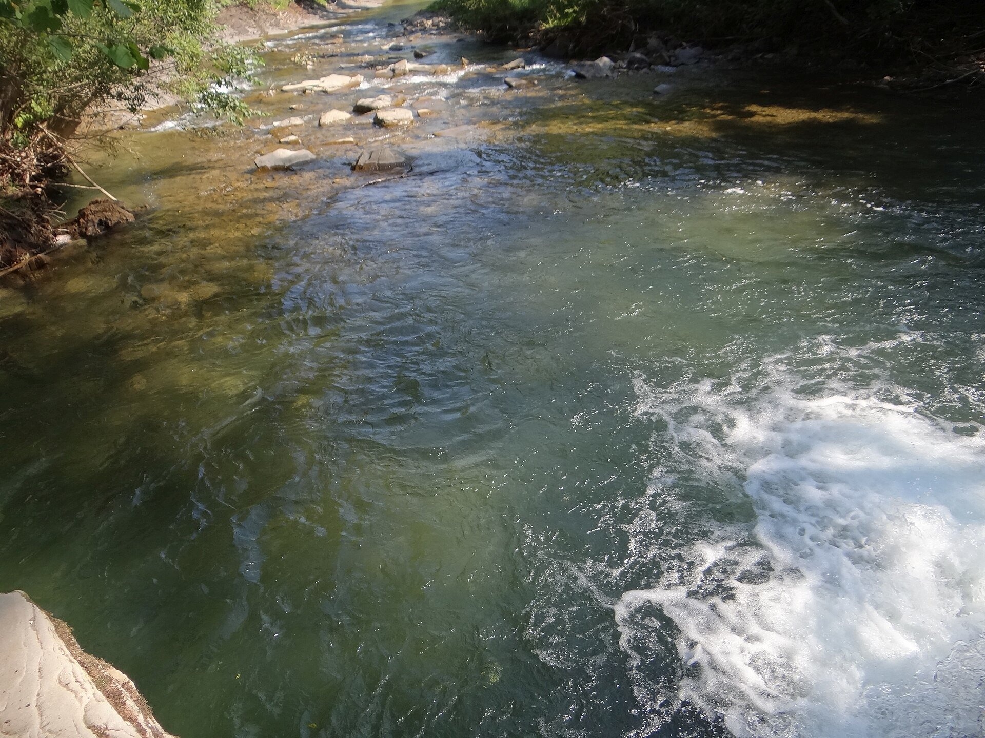
The waterfalls of the Kacwinianka are several natural steps on the river that flows through the Spiš village of Kacwin, in the commune of Łapsze Niżne, Nowy Targ County, right on the Polish-Slovak border. Geographically this is the Spiš Foothills (Pogórze Spiskie) between Podhale and the Pieniny, in the ethnographic region of Zamagurie. Two of them have their own names: the tourist-friendly Pod Upłazem Waterfall (Wodospad pod Upłazem) at about 605 m, and the higher Pod Młynarzką Waterfall in the village centre.
The Pod Upłazem Waterfall lies by the border, just below the mouth of the Hawiarski Potok stream. The water slides down tilted rock slabs into a deep green pool. By the road from Kacwin to Veľká Franková in Slovakia there is an information board, a shelter and benches, and a path has been cut down the steep bank to the water. There are other small steps on the Kacwinianka nearby.
The Pod Młynarzką Waterfall drops from a natural rock step almost 7 m high and about 10 m wide, just below the bridge beneath the church. A sawmill and a mill driven by a water wheel once stood next to it: water was brought to them by a wooden chute from the step above the fall. The equipment had long been out of use, and the great flood of 1977 largely destroyed it. Getting close to this waterfall is very difficult: the banks are high and vertical, and tight fences of private properties line both sides of the river.
Kacwin is one of the oldest villages of Spiš, mentioned in documents as early as 1320; the name comes from the German Katzwinkel, "cat's corner". Around 1400 the owners of Dunajec Castle founded the Church of All Saints here. Between the world wars the village remained in Poland; in 1939–1945 it belonged to Slovakia. The commune of Łapsze Niżne is the only fully Spiš commune in Poland; Kacwin still has the characteristic Spiš outbuildings called "sypańce".
What to see
- The Pod Upłazem Waterfall with its viewpoint by the road and the path to the water — best after rain and in spring.
- The Pod Młynarzką Waterfall — visible from the bridge by the church; do not climb over private fences.
- The meanders of the Kacwinianka between the hills of Tylki Hawiarskie, Kunia Góra and Serwoniec.
- The Church of All Saints and old Spiš farmsteads in the centre of Kacwin.
How to get there
A road leads to Kacwin from Niedzica (4 km) and continues across the border to Veľká Franková. The Pod Upłazem Waterfall is right by this road, so it is a short, easy walk that children can manage, although the descent down the steep bank requires care. Hiking and cycling trails run along the road past the waterfall; on our site this is the route Kacwin (state border) – Łapsze Niżne. The "Spiš Loop" cycling route also passes nearby.
Season and safety
The waterfalls are accessible all year round with no tickets. The rocks by the water are slippery and the banks of the Kacwinianka are steep — hold children's hands. Do not swim in the pools below the steps: depth and currents under waterfalls are unpredictable, especially after downpours. The GOPR mountain rescue number is 985 or 601 100 300.
Nearby
8–10 km to the north lie Lake Czorsztyn and Niedzica Castle (Dunajec Castle), and further on the Pieniny with Dunajec River Rafting. Another waterfall of the region is Zaskalnik Waterfall in Szczawnica.
Photos: Happa, CC BY 3.0, Wikimedia Commons; Jerzy Opioła, CC BY-SA 4.0, Wikimedia Commons; Kaliosese, CC BY-SA 4.0, Wikimedia Commons.
Getting there from Ukraine
Border crossings
- Krakovets – Korczowa — road, 24/7
- Shehyni – Medyka — road, 24/7 Pedestrian crossing is not confirmed by the Ukrainian border service — check dpsu.gov.ua before the trip.
- Smilnytsia – Krościenko — road, 24/7
- Hrushiv – Budomierz — road, 24/7
- Mostyska – Przemyśl (rail) — rail, 24/7
By car
Lviv – Szczawnica ≈384 km, ≈5 h 25 min without queues: M-10 → Krakovets – Korczowa → A4 to Brzesko (≈198 km) → DK75 to Nowy Sącz → DW969 via Stary Sącz and Łącko to Krościenko nad Dunajcem → Szczawnica. ≈306 km, ≈4 h from the border.
Checked 23.10.2026; border crossing hours and timetables change — check before you travel.
Location on the map
Comments
Trails nearby
All trails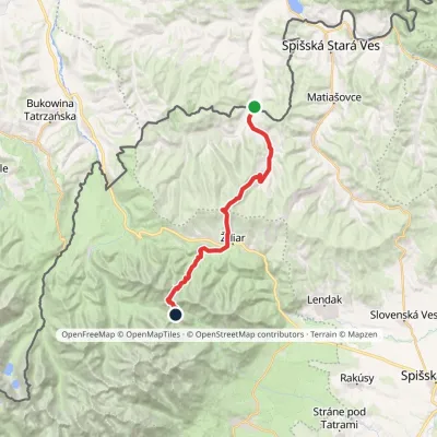 HardTwo-dayMarkedTatranská magistrála (Tatra Highway)Elevation profile613–1 933 m21.2 kmascent 1 744 m≈ 9 h walkingunder 1 km from Kacwinianka Waterfalls, Kacwin
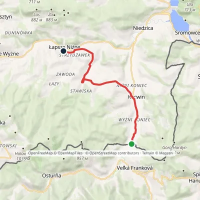 EasyOne-dayMarkedKacwin (state border) Łapsze NiżneElevation profile559–664 m9.9 kmascent 161 m≈ 3 h walkingunder 1 km from Kacwinianka Waterfalls, Kacwin
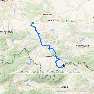 HardMulti-dayMarkedBrzeźnica KacwinElevation profile220–1 289 m143 kmascent 4 206 m2.2 km from Kacwinianka Waterfalls, Kacwin
Nearby attractions
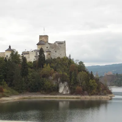 CastleNiedzica Castle (Dunajec Castle)Niedzica-Zamek8.3 km from Kacwinianka Waterfalls, KacwinDunajec Castle in Niedzica is one of the most beautiful castles in Poland. It stands on a rock at 566 m above sea level, about 35 m above the surface of Lake Czorsztyn...
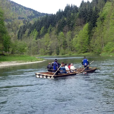 NatureDunajec River RaftingSromowce Wyżne8.5 km from Kacwinianka Waterfalls, KacwinRafting down the Dunajec is the best-known attraction of the Pieniny and probably of the whole Polish Carpathians.
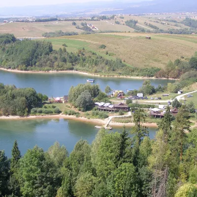 LakeLake CzorsztynFalsztyn9.9 km from Kacwinianka Waterfalls, KacwinLake Czorsztyn (Jezioro Czorsztyńskie) is a reservoir on the Dunajec river in the Nowy Targ Basin, between the Pieniny and the Gorce.
Craft nearby
All craft places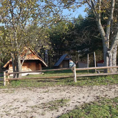 Cheese dairies & pasturesMajerz Meadow Shepherd's Hut, Pieniny National Park: oscypek and żętycaKrośnica10 km from Kacwinianka Waterfalls, KacwinMajerz meadow (hala) sits on a 689 m hill between Czorsztyn-Nadzamcze and the village of Hałuszowa, above Lake Czorsztyn.
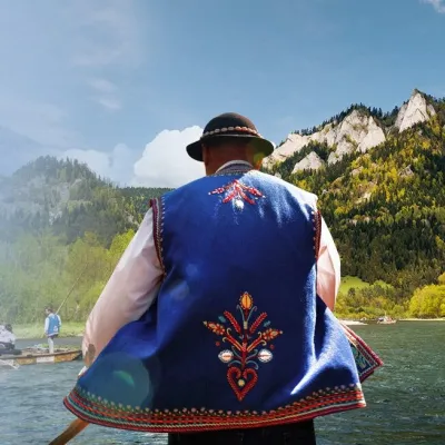 Ethno tours & guidesGoral raftsmen of Červený Kláštor: wooden-raft trip on the DunajecČervený Kláštor11 km from Kacwinianka Waterfalls, KacwinBetween Červený Kláštor and Lesnica the Dunajec cuts a deep, winding gorge through the limestone Pieniny, and here the river becomes the border between Slovakia and...
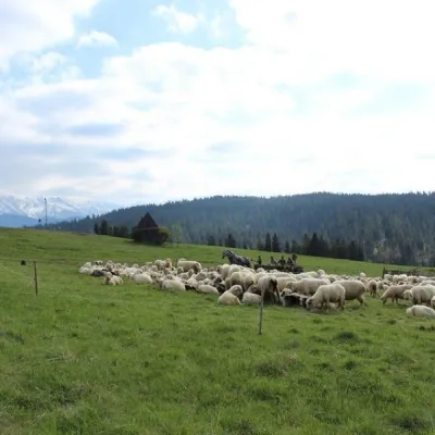 Cheese dairies & pasturesU Jancoka Shepherd's Hut, Brzegi: oscypek from Poland's first female bacaBrzegi13 km from Kacwinianka Waterfalls, KacwinThe U Jancoka shepherd's hut (bacówka) stands beside regional road 960, which runs from Bukowina Tatrzańska to the Łysa Polana border crossing, in the village of Brzegi.
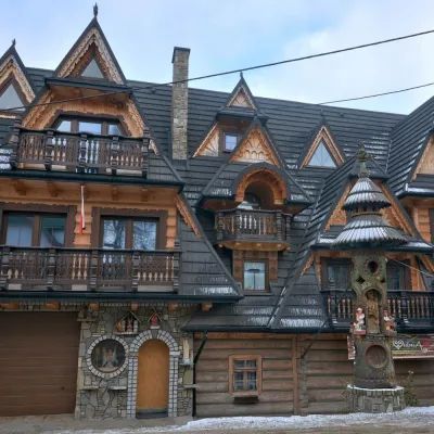 Crafts & workshopsDrewutnia, Bukowina Tatrzańska: glass painting workshops and highland furnitureBukowina Tatrzańska14 km from Kacwinianka Waterfalls, KacwinDrewutnia ("the woodshed") calls itself a "shop for cultural needs". It is the family business of the Kuchtas of Bukowina Tatrzańska, who say they have lived here...
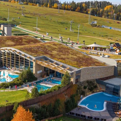 Water parks & thermal poolsTerma BaniaBiałka Tatrzańska14 km from Kacwinianka Waterfalls, KacwinTerma Bania is a large thermal water park in the village of Białka Tatrzańska, at the foot of the Kotelnica ski slope.
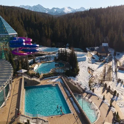 Water parks & thermal poolsTermy BukovinaBukowina Tatrzańska14 km from Kacwinianka Waterfalls, KacwinTermy Bukovina is a modern thermal pool complex in Bukowina Tatrzańska, a village lying about a thousand metres above sea level on the edge of the Tatra National Park.
