Veľká Domaša reservoir
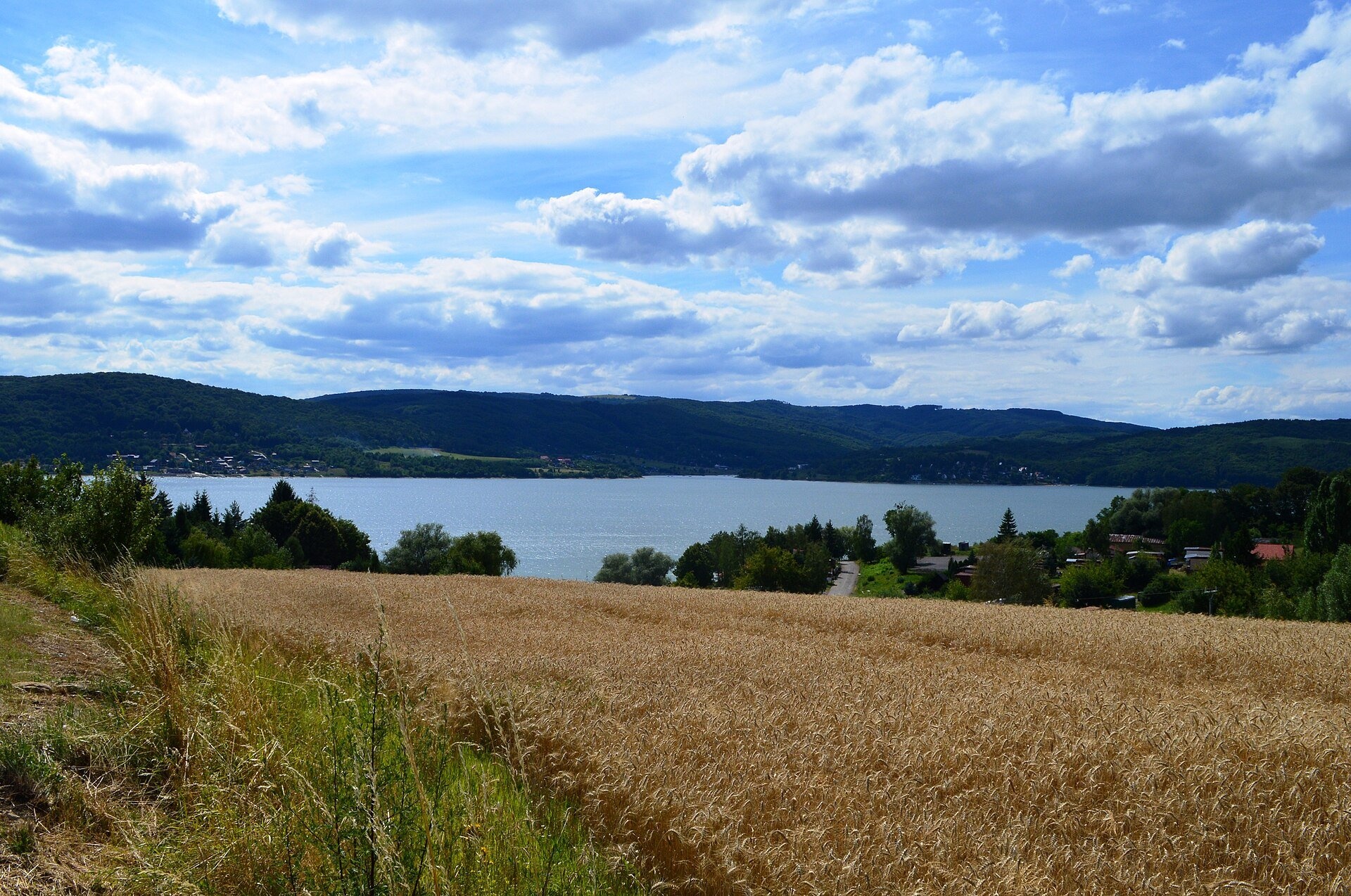
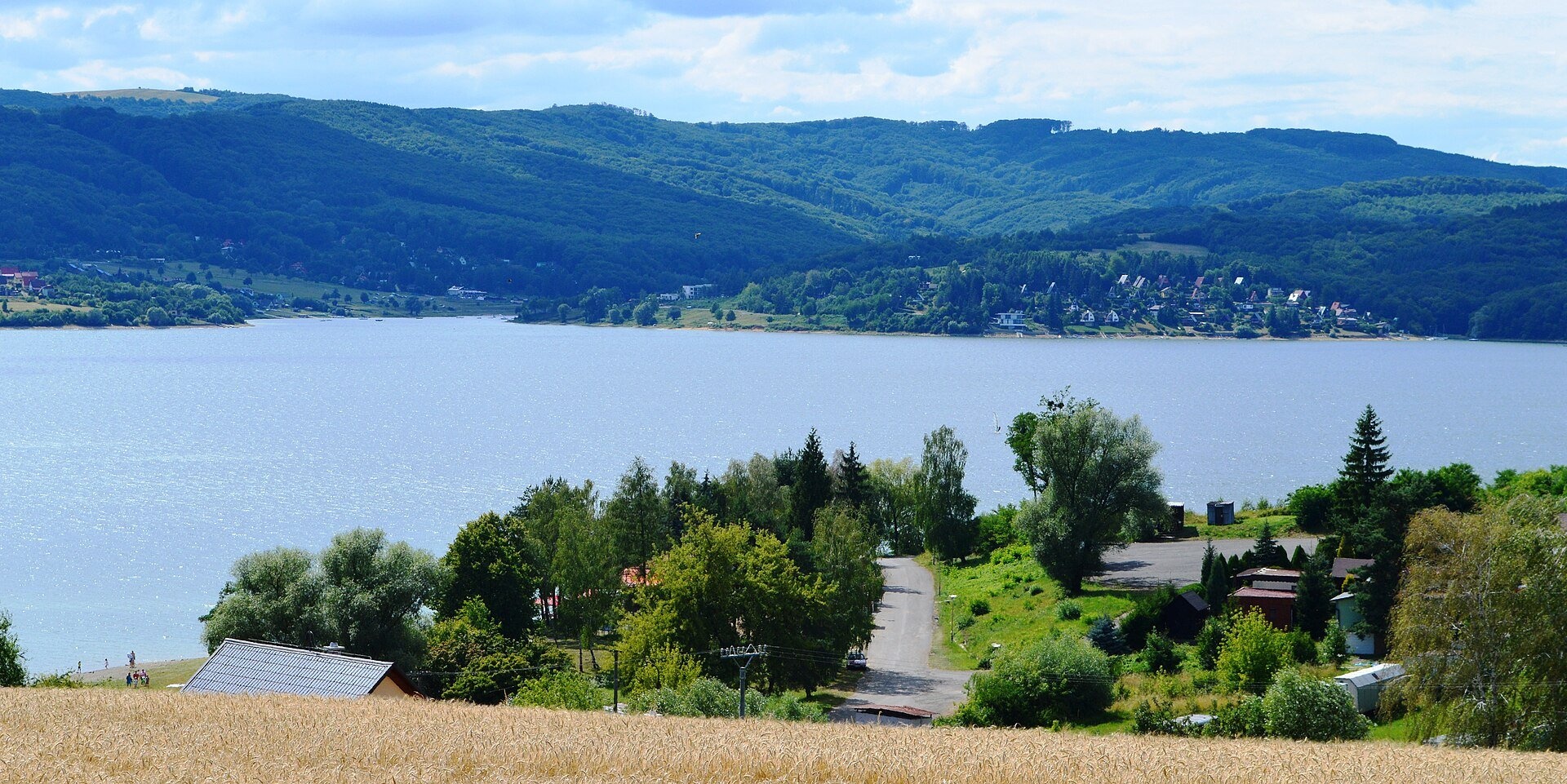
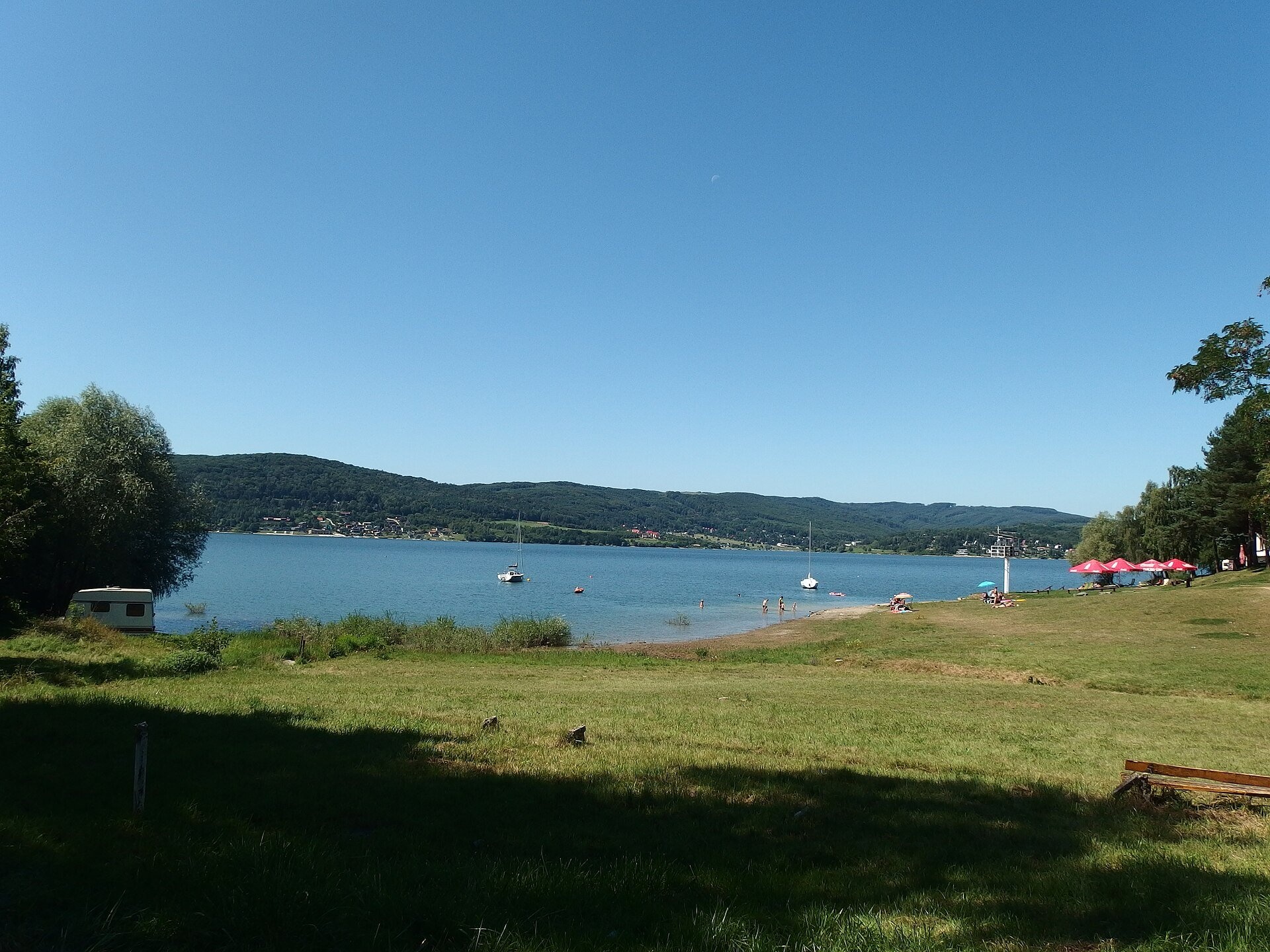
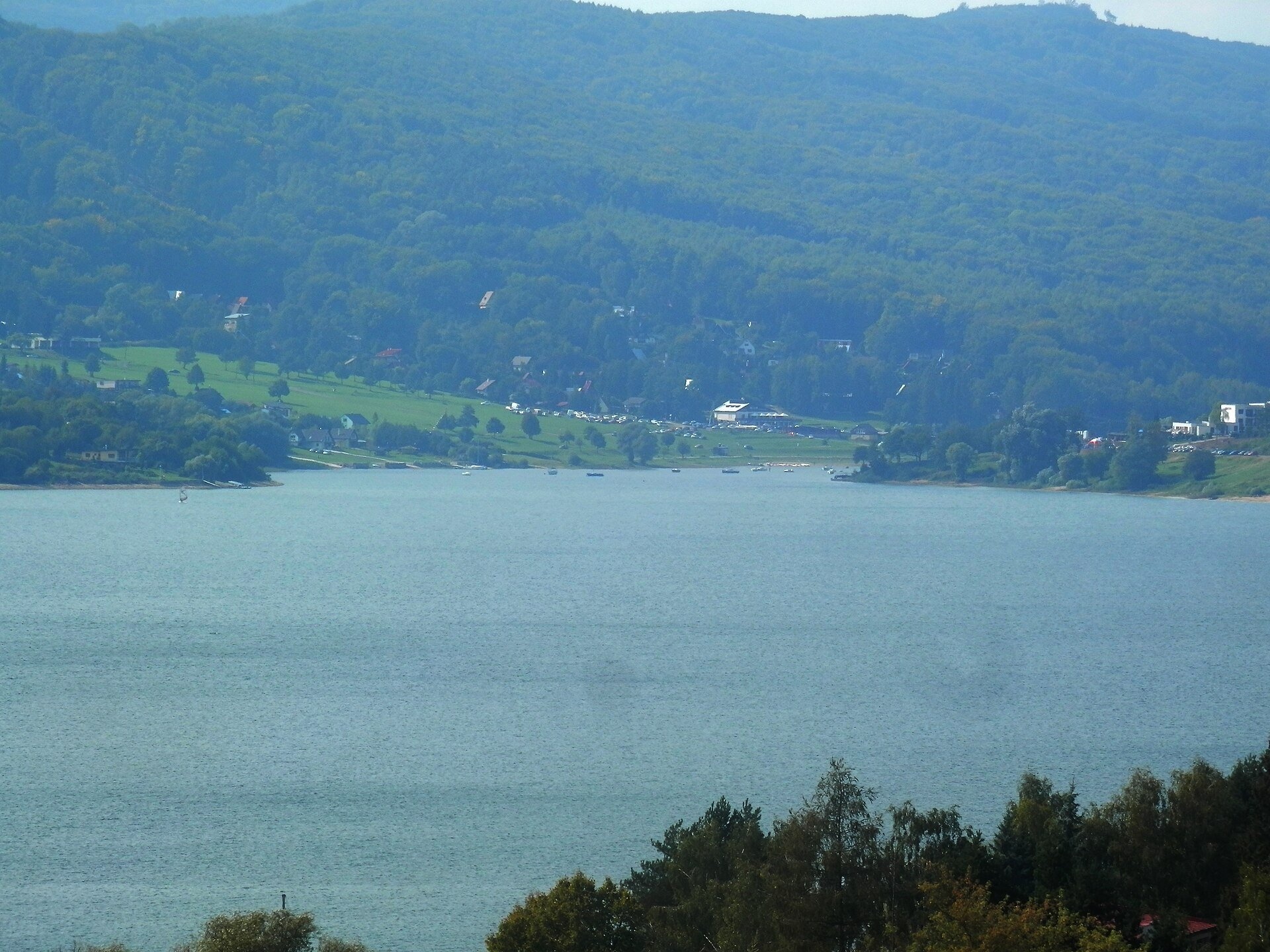
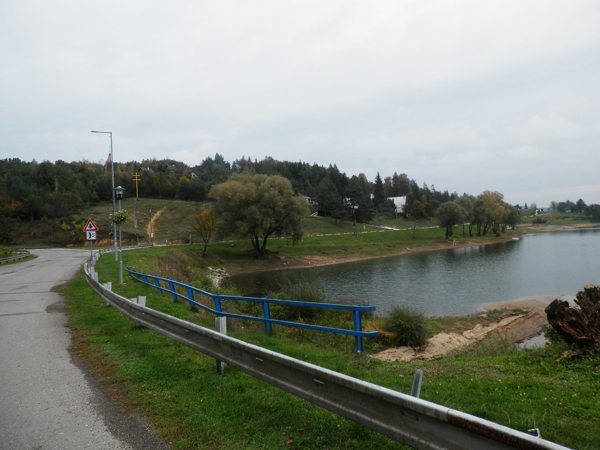
Veľká Domaša (often just Domaša) is a large reservoir on the Ondava river in the Ondavská vrchovina hills, south of the Low Beskids ridge, in the Prešov Region of eastern Slovakia. Two thirds of its area lie in the Vranov nad Topľou district, the northern part in the Stropkov district. The reservoir is about 14 km long and up to 4 km wide in its southern part (500–1,000 m in the north and middle); the water surface covers 14.22 km² (sources give 14.2 to 15.1 km² as the level varies), it holds 187.5 million m³, and the greatest depth is about 32–35 m. The average water level is 156 m above sea level (Slovak Wikipedia gives 162.4 m as the design level). By area it is one of the largest bodies of water in Slovakia.
Construction began in February 1962; the earth dam was completed in September 1966, the hydroelectric plant in December 1966 and the whole scheme in December 1967. The reservoir’s main task is to protect the East Slovak Lowland from the Ondava’s spring floods; it also supplies industrial water and serves recreation. The villages of Dobrá nad Ondavou, Trepec, Kelča, Valkov, Petejovce and Veľká Domaša itself disappeared under the water, and Bžany and Turany nad Ondavou partly; their inhabitants were resettled. The village of Veľká Domaša had already been burnt by German soldiers on 20 November 1944 for helping partisans. All that remains of Kelča is the Baroque twin-towered church of St Stephen the King (1780): it stands below the normal water level, surrounded by a special embankment; the new village of Nová Kelča was built on the slope above.
What to see and do
- The shores: the western one steep and almost entirely wooded, the eastern one gentler, with meadows and fields.
- Swimming and water sports: in summer the water warms up to 23 °C, the bathing season runs from June to mid-September; sailing and motor boats and water-skiing are allowed. Since 2019 the double-deck excursion boat «Bohemia» has sailed from Dobrá.
- Fishing: carp, pike, zander, catfish and chub.
- Birds: black storks, herons, swans and ducks can be seen along the shores.
- The church of drowned Kelča near Nová Kelča — a quiet reminder of the reservoir’s history.
Getting there
National road No. 15 Svidník – Stropkov – Vranov nad Topľou runs along the eastern shore. To reach the western shore, drive from Prešov via Hanušovce nad Topľou: the last 10 km lead through beech forests to the Dobrá recreation centre. The main leisure spots are Dobrá and Valkov on the western shore and Poľany, Eva, Nová Kelča and Petejovce on the eastern one. This is not a hike but a drive with walks along the shore, convenient for families with children; below the dam, a kilometre and a half to the south, lies the small Malá Domaša balancing reservoir.
Season and safety
The best time is June to September; in autumn it is quiet and less busy. The water level fluctuates strongly during the year because of uneven rainfall and water withdrawal, so the banks erode and landslides are activated on the adjacent slopes — keep away from undercut banks. Swim in designated places, watch out for motor boats and water-skiers; fishing only under local rules. The reservoir is not part of a national park. Emergency number — 112. As of October 2026.
Nearby
To the north are Krásny Brod Monastery: ruins and pilgrimage site and the Wooden Church of St Michael the Archangel, Ladomirová; to the south-east lies another large «Slovak sea», Zemplínska šírava — the “Slovak Sea” below the Vihorlat.
Photos: Scotch Mist, CC BY-SA 4.0, Wikimedia Commons; Palickap, CC BY-SA 4.0, Wikimedia Commons; Ing.Mgr.Jozef Kotulič, CC BY-SA 4.0, Wikimedia Commons; P.matel, Public domain, Wikimedia Commons; Pleple2000, CC BY-SA 4.0, Wikimedia Commons.
Getting there from Ukraine
Border crossings
- Uzhhorod – Vyšné Nemecké — road, 24/7
- Malyi Bereznyi – Ubľa — road, 24/7 For cars and buses; pedestrians not confirmed by the Ukrainian border service, lorries up to 3.5 t.
- Mali Selmentsi – Veľké Slemence (pedestrian) — pedestrian, 09:00–21:00 Kyiv time Pedestrians and cyclists only; inconvenient for the Tatras without onward transport.
- Chop – Čierna nad Tisou (rail) — rail, 24/7
By car
Lviv – Snina ≈241 km, ≈4 h 20 min without queues: H-13 via Sambir and the Uzhok Pass to Velykyi and Malyi Bereznyi → Malyi Bereznyi – Ubľa checkpoint → road 74 to Snina (≈27 km, ≈30 min from the border). From Uzhhorod: via Vyšné Nemecké (I/19 towards Sobrance, then II/566 and road 74) ≈65 km, ≈1 h 15 min; via Malyi Bereznyi – Ubľa ≈80 km, ≈1 h 40 min, but that crossing is usually less busy.
Checked 23.10.2026; border crossing hours and timetables change — check before you travel.
Location on the map
Comments
Trails nearby
All trails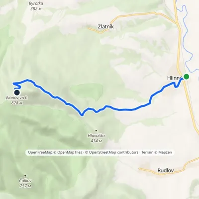 ModerateOne-dayMarkedHlinné Ivanov PeakElevation profile141–828 m8 kmascent 687 m≈ 3.5 h walking11 km from Veľká Domaša reservoir
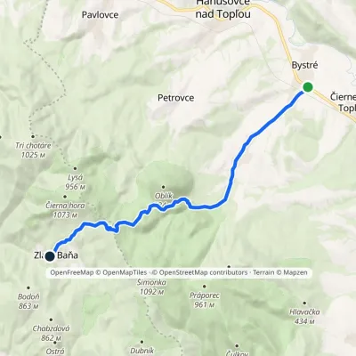 ModerateOne-dayMarkedZlatá Baňa BystréElevation profile184–909 m13.8 kmascent 730 m≈ 5 h walking11 km from Veľká Domaša reservoir
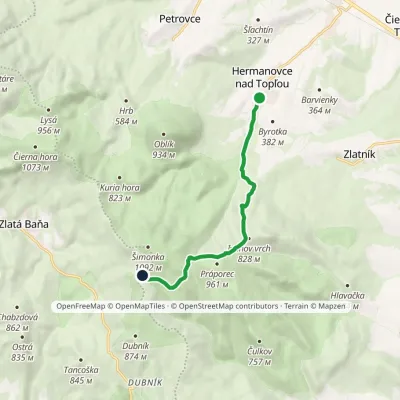 ModerateOne-dayMarkedGrimov Laz Saddle Hermanovce nad TopľouElevation profile293–962 m8.2 kmascent 686 m≈ 3.5 h walking14 km from Veľká Domaša reservoir
Nearby attractions
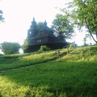 MuseumVihorlat Museum and Open-Air Museum, HumennéHumenné18 km from Veľká Domaša reservoirThe Vihorlat Museum (Vihorlatské múzeum) in Humenné is the main museum of Upper Zemplín in north-eastern Slovakia.
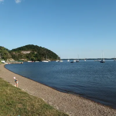 LakeZemplínska šírava — the “Slovak Sea” below the VihorlatKaluža33 km from Veľká Domaša reservoirThe “Slovak Sea” by the Ukrainian border Zemplínska šírava is a large reservoir in eastern Slovakia, in the Bodrog basin below the Vihorlat hills.
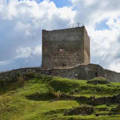 CastleŠariš Castle near PrešovVeľký Šariš38 km from Veľká Domaša reservoirŠariš Castle (Šarišský hrad) is one of the largest medieval fortresses in Slovakia: its built-up area exceeds 2.7 ha.
Craft nearby
All craft places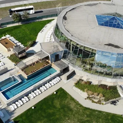 Water parks & thermal poolsThermalpark Šírava in Kaluža, Zemplínska ŠíravaKaluža33 km from Veľká Domaša reservoirThermalpark Šírava (Thermalpark ŠÍRAVA) stands in the village of Kaluža on the northern shore of the Zemplínska Šírava — a large reservoir in eastern Slovakia.
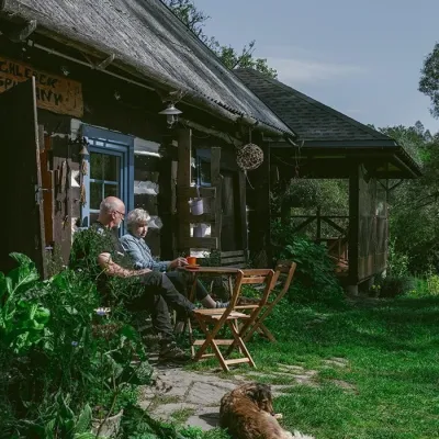 Craft producersBieszczadzkie Smaki, Smolnik: bread, liqueurs, preservesSmolnik40 km from Veľká Domaša reservoirBieszczadzkie Smaki (“Bieszczady Flavours”) is a family producer of natural foods in the village of Smolnik on the Osława river, Komańcza municipality, on the western...
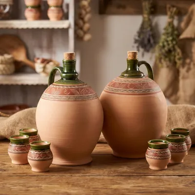 Crafts & workshopsMacák Pottery on Košice’s Craft Lane: ceramics and coursesHrašovík46 km from Veľká Domaša reservoirHrnčiarska Street in Košice old town is known as the "Craft Lane" (Ulička remesiel): craftspeople work in small houses below the walls of the former town fortifications.
