Trzy Korony
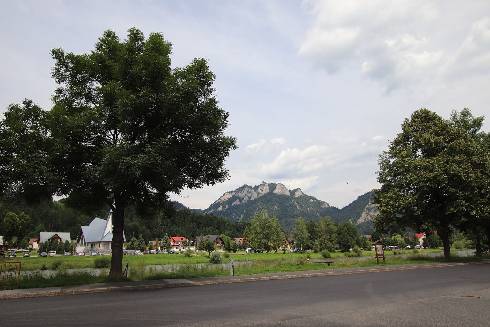
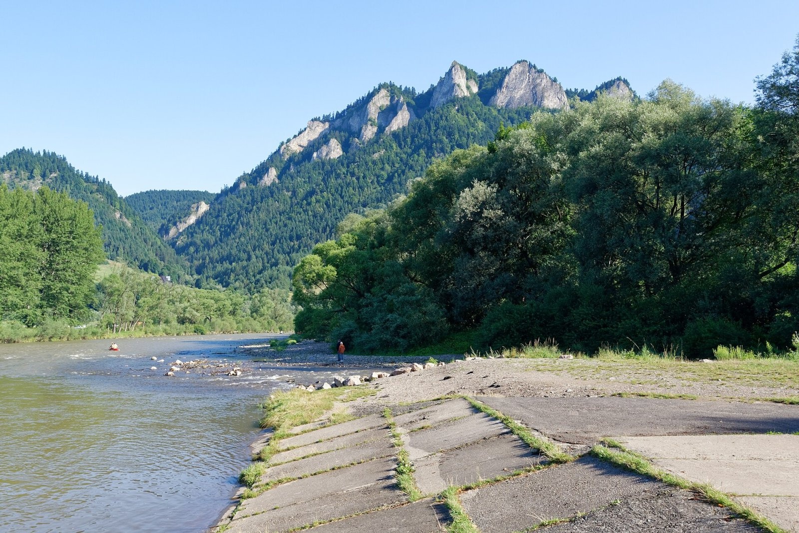
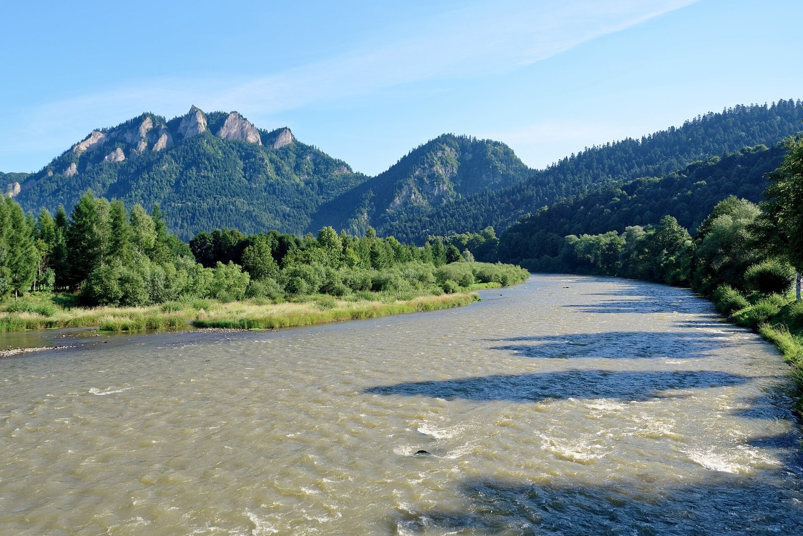
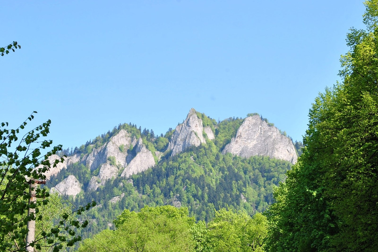
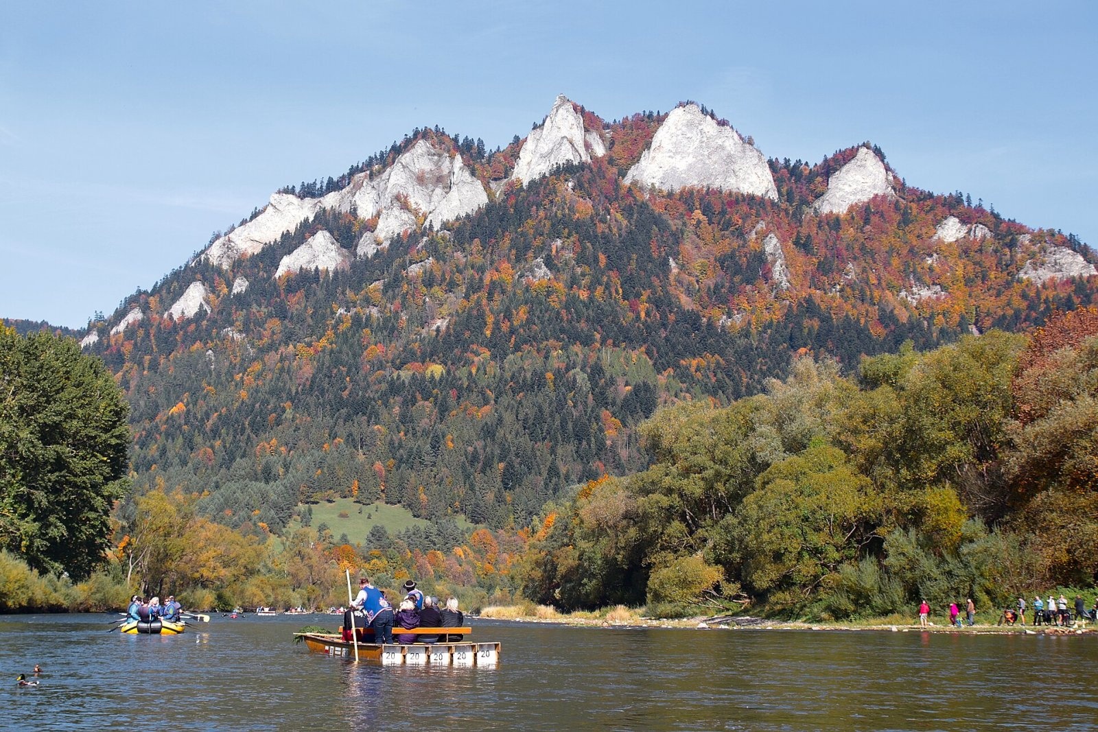
Trzy Korony (“Three Crowns”, Slovak Tri Koruny) is a 982 m mountain, the highest summit of the Central Pieniny and the best-known peak of the whole range. It rises about 530 m above the Dunajec, which flows at its foot, and stands on the Polish bank opposite the Slovak village of Červený Kláštor (about 1.7 km away). The entire mountain lies in the Pieniny National Park, within the village of Sromowce Niżne (Czorsztyn municipality, Nowy Targ County, Lesser Poland); Sromowce Niżne is about 2 km from the summit and Krościenko nad Dunajcem roughly 3 km to the north.
The summit area consists of five towers of resistant cherty limestone. The highest, Okrąglica (982 m), carries a railed viewing platform holding about 30 people at a time. Next to it stand Płaska Skała (950 m), Nad Ogródki (940 m), Pańska Skała (920 m) and the southward-jutting Niżnia Okrąglica, from which visitors admired the panorama before the top itself was made accessible. The massif is separated from its neighbours by the Wyżny Łazek pass (from the Łysina group), Kosarzyska (from Ostry Wierch) and the Szopka pass (from the Czorsztyn Pieniny).
How to get there / routes
All routes meet at a trail junction below the summit called Siodło (“the Saddle”), from where it is another 15 minutes up to the Okrąglica platform. The blue Main Pieniny Trail (part of the E3 European long-distance path and the Eisenach–Budapest International Mountain Friendship Trail) passes along the ridge.
- From Krościenko nad Dunajcem – yellow trail to the Szopka pass, then blue via Siodło; according to the park, the loop takes about 2 h 10 min up and 1 h 30 min down.
- From Sromowce Niżne – yellow trail through the Szopczański gorge to the Szopka pass, or green via Wyżny Łazek to the Kosarzyska glade, then blue; the park gives about 1 h 40 min up and 1 h down.
- From Szczawnica – across the Dunajec ferry, over Sokolica, Czertezik, Czerteż and Bajków Groń (the so-called Sokola Perć), then via Zamkowa Góra or the Wyrobek glade.
- From Czorsztyn – blue trail via the Osice pass, Macelak and the Trzy Kopce and Szopka passes; from the rafting harbour at Kąty in Sromowce Wyżne a trail climbs to the Trzy Kopce pass (about 45 min), then continues on the blue.
What you can see from the summit
The Okrąglica platform overhangs the flats by the Dunajec with a drop of more than 500 m. It gives a superb view of the Pieniny Gorge of the Dunajec and the whole national park, and on the horizon the Tatras, the Beskid Sądecki, the Gorce, the Żywiec Beskids and the Spišská Magura. The Tatras fill about 50° of the panorama – Lomnický štít is 28 km away – and on a clear day you can see Babia Góra, 63 km away.
Nature and history
The slopes are cut by deep stream valleys and covered with forest. The limestone bedrock, inaccessible crags and variety of habitats make Trzy Korony one of the richest botanical sites of the Pieniny: seven plant species found here occur nowhere else in the range, and the rarities for Poland include Zawadzki's chrysanthemum and black cotoneaster. The rocks host orpine (Sedum maximum), the food plant of the caterpillars of the rare Apollo butterfly. In 1990 the screes of the Spuszczalnica gully were the last place in the Pieniny where 20–30 Apollos survived; a restoration programme in 1991–2010 has kept the population alive on the slopes of Trzy Korony. The rare wallcreeper nests on Pańska Skała.
The mountain was originally simply called Pieniny; the name Kronenberg appears in documents in 1834 and the present name from 1860. Visitors came very early: around 1860 people drove up below the summit in four-horse carriages, later sunrise walks became fashionable. The first marked trail to the top was laid out in 1906, and in 1929 the Polish government bought the mountain from private owners. Around 1880 some 200–300 people climbed Trzy Korony a year; in 2005 it was more than 60,000.
Safety, season and rules
The viewing galleries on Trzy Korony and Sokolica charge a fee from 1 April to 15 November: 10 PLN (reduced 5 PLN, children under 7 free); a ticket bought on one summit is valid the same day on the other. From 16 November to 31 March no fee is charged. The ticket does not let you skip the queue, and on fine days in season long queues form. The last section to the platform is steep and includes metal stairs; after rain and in winter the rocks and stairs are slippery. Do not go out onto the exposed platform above the cliff in a thunderstorm. Entry to the Pieniny National Park is free, but strict rules apply: walk only on marked trails (no climbing on rocks, no stepping onto meadows or beyond railings), stay in the park only in daytime – from an hour before sunrise to an hour after sunset – and do not bring dogs, fly drones, camp or light fires. The Dunajec ferry in Szczawnica is seasonal, so in the cold months plan the route from Szczawnica via Sokolica differently.
The Pieniny are covered by the mountain rescue service GOPR (Podhale group, stations in Szczawnica and Krościenko): call 985 or +48 601 100 300, or 112; installing the «Ratunek» app is a good idea.
Interesting facts
- Despite the name “Three Crowns”, the summit area actually consists of five towers.
- From 1933 a rain gauge looked after by a hermit stood on the Nad Ogródki tower.
- The landscape with Trzy Korony appears in the film “Wolfhound” (2007), shot in Slovakia.
Photos: Andrzej Otrębski, CC BY-SA 4.0; Jakub Hałun, CC BY-SA 4.0; Jakub Hałun, CC BY-SA 4.0; Marek Mróz, CC BY 4.0; Gordon Roemhild, CC BY-SA 4.0; Jerzy Opioła, CC BY 2.5 — Wikimedia Commons.
Getting there from Ukraine
Border crossings
- Krakovets – Korczowa — road, 24/7
- Shehyni – Medyka — road, 24/7 Pedestrian crossing is not confirmed by the Ukrainian border service — check dpsu.gov.ua before the trip.
- Smilnytsia – Krościenko — road, 24/7
- Hrushiv – Budomierz — road, 24/7
- Mostyska – Przemyśl (rail) — rail, 24/7
By car
Lviv – Szczawnica ≈384 km, ≈5 h 25 min without queues: M-10 → Krakovets – Korczowa → A4 to Brzesko (≈198 km) → DK75 to Nowy Sącz → DW969 via Stary Sącz and Łącko to Krościenko nad Dunajcem → Szczawnica. ≈306 km, ≈4 h from the border.
Checked 23.10.2026; border crossing hours and timetables change — check before you travel.
Location on the map
Water and shelter nearby
- Trzy Korony Hut980 m · Standing · 470 m
- Pieniński Potok Spring1.2 km · Not verified · 678 m
- Drinking water below Kláštorná hora (west slope), 464 m1.3 km · Not verified · 464 m
- Drinking water below Kláštorná hora (west slope), 459 m1.5 km · Not verified · 459 m
- Drinking water below Klejowa2 km · Not verified · 463 m
- Drinking water below Długi Gronik2.3 km · Not verified · 487 m
- Spring below Klejowa (south slope)2.4 km · Not verified · 438 m
- Spa Spring - 32.7 km · Not verified · 471 m
- Spa Spring - 22.7 km · Not verified · 514 m
- Kúpeľný prameň - 1 Spring2.7 km · Not verified · 503 m
- Drinking water below Gródek2.8 km · Not verified · 424 m
- Spring below Biała Skała2.9 km · Not verified · 438 m
- Spring below Klejowa (south-east slope)2.9 km · Not verified · 625 m
Comments
Trails nearby
All trails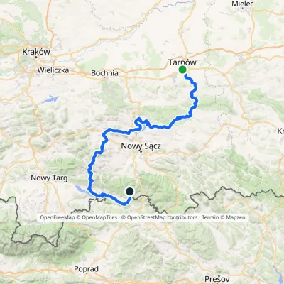 HardMulti-dayMarkedTarnów Wielki RogaczElevation profile206–1 211 m191.5 kmascent 6 941 munder 1 km from Trzy Korony
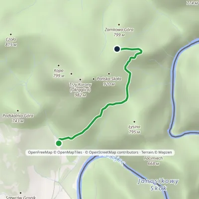 EasyOne-dayMarkedSromowce Niżne KosarzyskaElevation profile486–829 m2.1 kmascent 343 m≈ 1 h walkingunder 1 km from Trzy Korony
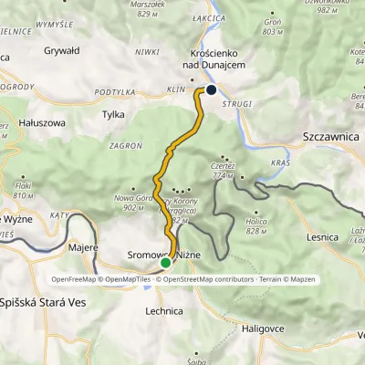 EasyOne-dayMarkedSromowce Niżne Krościenko nad DunajcemElevation profile424–789 m6.5 kmascent 353 m≈ 2.5 h walkingunder 1 km from Trzy Korony
Nearby attractions
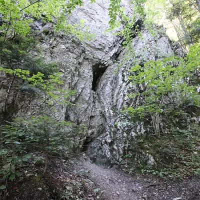 PeakZamkowa Góraaltitude 799 munder 1 km from Trzy KoronyZamkowa Góra (“Castle Hill”) is a summit of about 799 m at the end of the north-eastern spur of the Trzy Korony massif in the Central Pieniny.
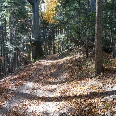 PeakCzołoaltitude 815 munder 1 km from Trzy KoronyCzoło ("forehead" in Polish) is a modest 815 m summit in the Pieniny proper, the easternmost top on the main ridge of the Czorsztyn Pieniny.
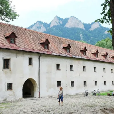 MuseumČervený Kláštor — Carthusian monastery in the Pieniny1.7 km from Trzy KoronyA monastery of “silent” monks on the Dunajec Červený Kláštor (“Red Monastery”) is a village and former monastery on the Slovak bank of the Dunajec, right opposite the...
Craft nearby
All craft places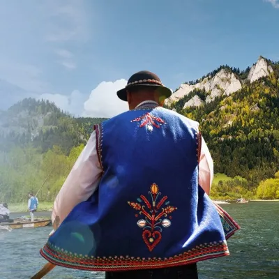 Ethno tours & guidesGoral raftsmen of Červený Kláštor: wooden-raft trip on the Dunajec2 km from Trzy KoronyBetween Červený Kláštor and Lesnica the Dunajec cuts a deep, winding gorge through the limestone Pieniny, and here the river becomes the border between Slovakia and...
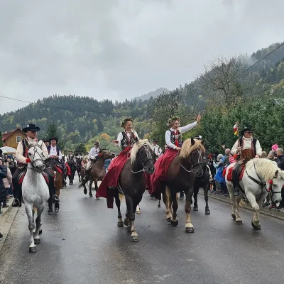 Markets & fairsAutumn Redyk in Szczawnica: sheep drive, oscypek and shepherds3.4 km from Trzy KoronyRedyk is an old Carpathian shepherding custom: in spring the flocks are driven up to the mountain pastures (hale), and in autumn, after the cheese-making season, they...
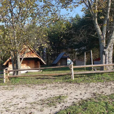 Cheese dairies & pasturesMajerz Meadow Shepherd's Hut, Pieniny National Park: oscypek and żętyca6.3 km from Trzy KoronyMajerz meadow (hala) sits on a 689 m hill between Czorsztyn-Nadzamcze and the village of Hałuszowa, above Lake Czorsztyn.
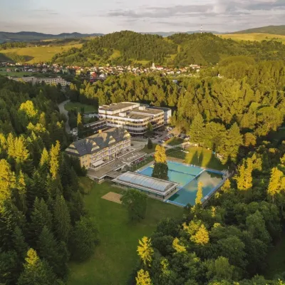 Water parks & thermal poolsVyšné Ružbachy Spa: Izabela Mountain Pools and Indoor Thermal Pool16 km from Trzy KoronyVyšné Ružbachy is one of Slovakia’s oldest spas. It lies on the south-eastern slope of the Spišská Magura at about 617 m, surrounded by coniferous forest that merges...
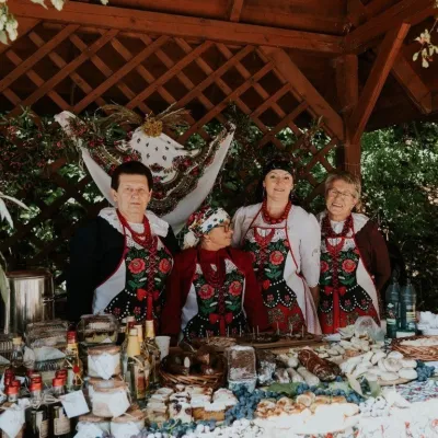 Markets & fairsFruit Harvest Festival in Łącko: village stands, fruit and folklore17 km from Trzy KoronyŁącko, in the Dunajec valley between Stary Sącz and the Pieniny, is one of Poland's best-known fruit-growing areas: the slopes around are covered with apple, pear and...
 Craft producersNestville Distillery, Hniezdne — Home of the First Slovak Whisky21 km from Trzy KoronyThis tradition is the basis for BGV, a company founded in 2001, which built the Nestville Distillery here.
