Szalowa – Bacówka PTTK in Bartne
Trail map
Route, springs and shelters: © OpenStreetMap contributors (ODbL) · elevation: Copernicus DEM © DLR e.V., © Airbus DS · Data & licences
About the trail
Route Szalowa – Bacówka PTTK in Bartne. Has blue marking (regional route, PTTK). Waymarking data: OpenStreetMap (© OpenStreetMap contributors, ODbL).
Officially marked regional tourist route. Marking is blue, sign — horizontal stripe on a white background. Marked and maintained by: PTTK. Length of the route — 41.5 km. Location: mountain range — Low Beskids, Poland.
At a glance
A route of 41.5 km with 1,178 m of ascent from Szalowa to Bacówka PTTK in Bartne. Estimated walking time: about 12.5 h, not counting stops — a very long day, so it is easier split into 2 days. Difficulty: hard. Waymarking: blue.
Route stages
- 0–4 kmClimb of 180 m to Jeżakówka (532 m)
- 4–19 kmGentle ups and downs at 280–560 m, past Dział, Cmentarna
- 19–30 kmClimb of 500 m to Magura Małastowska (813 m)
- 30–32 kmDescent of 190 m to Małastowska Pass
- 32–41 kmGentle ups and downs at 590–710 m, past Zamek, Wierch Wirchne, Baniska Góra
Steepest kilometre: km 30–31, a descent of 150 m (≈15%), near Małastowska Pass.
Water and overnight stays
Springs near the trail: at km 13 and 38. There are no springs between km 13 and 38 — carry at least 4 l of water.
Huts and shelters near the trail: Alpine Hut Bartne, Shelter by PTTK (km 41).
A possible split into days:
- Day 1: km 0–21, ≈6 h — overnight: no shelter nearby on the map, bring a tent
- Day 2: km 21–41, ≈6 h — finish
When to go
The route can be walked most of the year; it is most comfortable from April to October.
Getting there
Start: Szalowa. This is a one-way route: the finish is 28 km from the start in a straight line, so plan your way back in advance.
FAQ
- How long does the route take?
- Estimated walking time: about 12.5 h, not counting stops — a very long day, so it is easier split into 2 days.
- Is there water on the route?
- Springs near the trail: at km 13 and 38. There are no springs between km 13 and 38 — carry at least 4 l of water.
- Where can I stay overnight?
- Huts and shelters near the trail: Alpine Hut Bartne, Shelter by PTTK (km 41).
Water and shelter on the route
- Drinking water below Cmentarnakm 13.2 from the start · Not verified · 295 m
- Well below Baniska Górakm 37.6 from the start · Not verified · 619 m
- Alpine Hut Bartne, Shelter by PTTKkm 41.4 from the start · Standing · 630 m
Comments
Trails nearby
All trails

Craft nearby
All craft places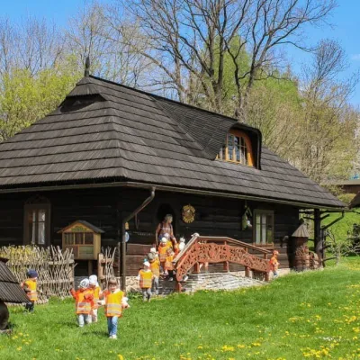 Honey & meaderiesSądecki Bartnik Beekeeping Farm, Stróże4.4 km from the trailSądecki Bartnik in the village of Stróże near Grybów is one of Poland's best-known beekeeping farms. The family business was founded in 1973 by Anna and Janusz...
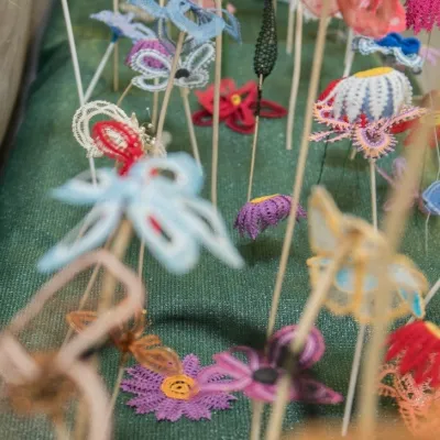 Markets & fairsBobbin Lace Festival in Bobowa: lace fair and workshops6.4 km from the trailBobowa — one of the oldest settlements in the Biała river valley between Tarnów and Nowy Sącz, about 25 km north-west of Gorlice — is considered Poland's capital of...
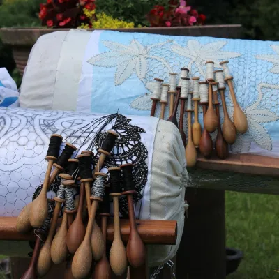 Crafts & workshopsKoronkarnia, Bobowa: bobbin lace by Ewa Szpila6.4 km from the trailKoronkarnia is the workshop and small shop of Ewa Szpila, one of the town's best-known lacemakers. She is not from Bobowa and is an accountant by profession: she...
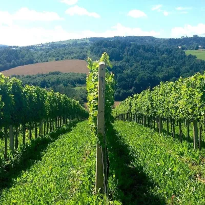 Wine & tastingsChodorowa vineyard near Grybów: tour and wine tasting7.9 km from the trailThe Chodorowa vineyard (Winnica Chodorowa) lies in the hills of the Rożnów Foothills (Pogórze Rożnowskie), a few kilometres from the small town of Grybów in the...
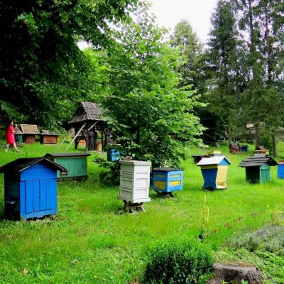 Honey & meaderiesBarć Apiary in Kamianna, the Beekeepers' Village18 km from the trailThe Barć ("Bee Tree") apiary in the Lemko village of Kamianna, between Krynica-Zdrój and Nowy Sącz, is one of Poland's best-known beekeeping places, and Kamianna is...
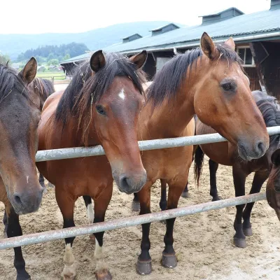 Horse ridingGładyszów Hucul Horse Stud, Regietów25 km from the trailThe "Gładyszów" Hucul Horse Stud (Stadnina Koni Huculskich „Gładyszów”) in the Lemko village of Regietów is one of the largest places in the world where Hucul ponies...
