Hlboké nad Váhom – Saddle under Hnilická Kýčera
Trail map
Route, springs and shelters: © OpenStreetMap contributors (ODbL) · elevation: Copernicus DEM © DLR e.V., © Airbus DS · Data & licences
About the trail
Route Hlboké nad Váhom – Saddle under Hnilická Kýčera. Has green marking (regional route №5650a, KST). Waymarking data: OpenStreetMap (© OpenStreetMap contributors, ODbL).
Officially marked regional tourist route No. 5650a. The marking is green, the sign is a horizontal stripe on a white background. Marked and maintained by: KST. The length of the route is 30.7 km. Location: mountain range – Strazhovske Mountains, Slovakia.
Attention: part of the route has not yet been mapped in OpenStreetMap, so the line on the map has gaps. On the ground, orient yourself using the marking signs.
At a glance
A route of 30.7 km with 1,305 m of ascent from Hlboké nad Váhom to Saddle under Hnilická Kýčera. Estimated walking time: about 10 h, not counting stops — a very long day, so it is easier split into 2 days. Difficulty: hard. Waymarking: green.
Route stages
- 0–3 kmDescent of 370 m (down to 648 m)
- 3–10 kmGentle ups and downs at 450–650 m
- 10–17 kmClimb of 380 m to Žibrid (868 m)
- 17–24 kmGentle ups and downs at 640–840 m, past Kečka
- 24–28 kmDescent of 420 m (down to 324 m)
- 28–31 kmClimb of 190 m (up to 511 m)
Steepest kilometre: km 17–18, a descent of 230 m (≈25%), near Žibrid.
Water and overnight stays
Springs near the trail: at km 0, 2, 4, 6, 15 and 26. There are no springs between km 15 and 26 — carry at least 2 l of water.
A possible split into days:
- Day 1: km 0–16, ≈5 h — overnight: no shelter nearby on the map, bring a tent
- Day 2: km 16–31, ≈5 h — finish
When to go
Best time: May to October. In winter deep snow is possible, so experience and winter gear are needed.
Getting there
Start: Hlboké nad Váhom. This is a one-way route: the finish is 22 km from the start in a straight line, so plan your way back in advance.
FAQ
- How long does the route take?
- Estimated walking time: about 10 h, not counting stops — a very long day, so it is easier split into 2 days.
- Is there water on the route?
- Springs near the trail: at km 0, 2, 4, 6, 15 and 26. There are no springs between km 15 and 26 — carry at least 2 l of water.
Water and shelter on the route
- Porubský Potok Springkm 0.2 from the start · 60 m off the path · Not verified · 1 022 m
- Spring below Rajecká skalakm 2.4 from the start · Not verified · 701 m
- Spring below Sokol Pass (east slope), 595 mkm 4.9 from the start · Not verified · 595 m
- Spring below Kamenný diel (east slope)km 6.9 from the start · Not verified · 555 m
- Biela studňa Spring, 550 mkm 16 from the start · Not verified · 550 m
- Spring below Vrchborkm 28 from the start · Not verified · 421 m
Comments
Trails nearby
All trails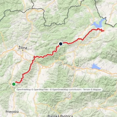 HardMulti-dayMarkedKľak TrstenáElevation profile354–1 668 m119.6 kmascent 7 565 m
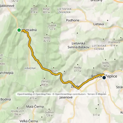 ModerateOne-dayMarkedSúľov, parking Rajecké Teplice, Hotel FatraElevation profile369–642 m12.2 kmascent 345 m≈ 3.5 h walking
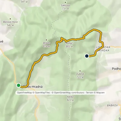 EasyOne-dayMarkedSúľov, parking Pod DubovcomElevation profile369–803 m8 kmascent 491 m≈ 3 h walking
Craft nearby
All craft places Water parks & thermal poolsSpa Aphrodite thermal pools, Rajecké TepliceRajecké Teplice12 km from the trailHot mineral water rises here, and it feeds the Spa Aphrodite resort, whose thermal pools, saunas and Natural Spa zone are open not only to patients but to anyone with...
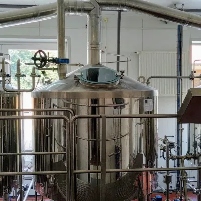 Craft beer & breweriesGalgenberg brewery in Nitrianske Pravno: tour and beer from the tankNitrianske Pravno18 km from the trailNitrianske Pravno is a large village at the northern end of the Upper Nitra basin, 12 km from Prievidza, where the river Nitra leaves the Malá Magura and Žiar hills.
 Cheese dairies & pasturesSalaš Pružina: 100% sheep’s bryndza in the Strážov HillsPružina19 km from the trailPružina is a village in a picturesque valley of the Strážov Hills (Strážovské vrchy) west of Považská Bystrica.
 Cheese dairies & pasturesFarma Brezany near Žilina: hand-stretched cheese and a distilleryBrezany19 km from the trailBrezany is a village a few kilometres south of Žilina, on the edge of the Žilina basin and the foothills leading towards the Rajec valley and the Strážov Hills.
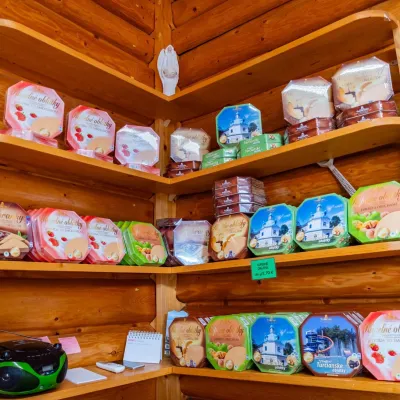 Cheese dairies & pasturesTuriec bryndza dairy, Turčianske Teplice: bryndza since 1917Turčianske Teplice20 km from the trailMore than a hundred years of Turiec bryndza Turiec is a wide basin between the ridges of the Veľká and Malá Fatra, a land of pastures and old sheep farming.
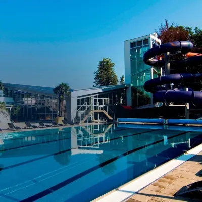 Water parks & thermal poolsSpa & Aquapark Turčianske TepliceTurčianske Teplice20 km from the trailTurčianske Teplice is one of Slovakia’s oldest spa towns. Its warm springs were first mentioned in 1281 in a deed of gift by King Ladislaus IV, and from 1533 they...
