Bzenica – Gronštolne
Trail map
Route, springs and shelters: © OpenStreetMap contributors (ODbL) · elevation: Copernicus DEM © DLR e.V., © Airbus DS · Data & licences
About the trail
Route Bzenica – Gronštolne. Has blue marking (regional route №2662, KST). Waymarking data: OpenStreetMap (© OpenStreetMap contributors, ODbL).
Officially marked regional tourist route No. 2662. The marking is blue, the sign is a horizontal stripe on a white background. Marked and maintained by: KST. Length of the route — 13.7 km. Location: mountain range — Strazovske Mountains, Slovakia.
At a glance
A one-day route of 13.7 km with 781 m of ascent from Bzenica to Gronštolne. Estimated walking time: about 4.5 h, not counting stops. Difficulty: moderate. Waymarking: blue.
Route stages
- 0–2 kmGentle ups and downs at 220–270 m
- 2–7 kmClimb of 430 m (up to 696 m)
- 7–12 kmGentle ups and downs at 690–780 m
- 12–14 kmClimb of 190 m (up to 924 m)
Steepest kilometre: km 12–13, a climb of 180 m (≈18%).
Water and overnight stays
Springs near the trail: at km 2 and 14. There are no springs between km 2 and 14 — carry at least 2.5 l of water.
When to go
The route can be walked most of the year; it is most comfortable from April to October.
Getting there
Start: Bzenica. This is a one-way route: the finish is 12 km from the start in a straight line, so plan your way back in advance.
FAQ
- How long does the route take?
- Estimated walking time: about 4.5 h, not counting stops.
- Is there water on the route?
- Springs near the trail: at km 2 and 14. There are no springs between km 2 and 14 — carry at least 2.5 l of water.
Water and shelter on the route
- Spring near družstvokm 1.6 from the start · Not verified · 269 m
- Spring below Magurka (east slope), 923 mkm 13.6 from the start · Not verified · 923 m
Comments
Trails nearby
All trails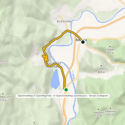 EasyOne-dayMarkedBzenica Revištské PodzámčieElevation profile219–341 m5.3 kmascent 118 m≈ 1.5 h walking
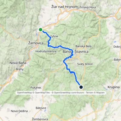 HardMulti-dayMarkedAndrej Kmeť TrailElevation profile231–1 011 m39.6 kmascent 1 216 m≈ 12.5 h walking
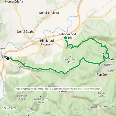 ModerateTwo-dayMarkedBzenica Lehôtka pod BrehmiElevation profile230–633 m17.3 kmascent 614 m≈ 5.5 h walking
Craft nearby
All craft places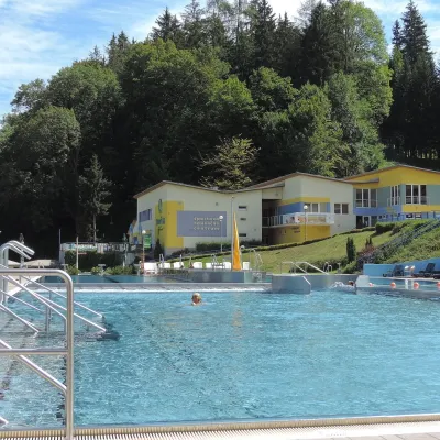 Water parks & thermal poolsVodný raj thermal pools in VyhneVyhne4.3 km from the trailVodný raj Vyhne ("Water Paradise") is a public pool complex with thermal water in the village of Vyhne, in a quiet wooded valley of the Štiavnické vrchy hills near the...
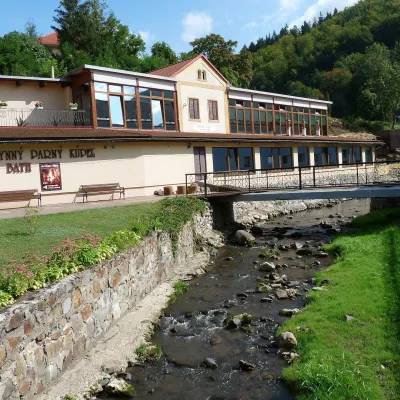 Water parks & thermal poolsSklené Teplice: Parenica cave steam bath and thermal bathsSklené Teplice9 km from the trailSklené Teplice is a small spa in a wooded valley of the Štiavnické vrchy hills, a few kilometres from the Hron valley and about 8 km from Banská Štiavnica.
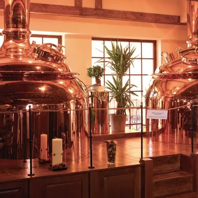 Craft beer & breweriesERB brewery in Banská Štiavnica: brewery tour and tastingBanská Štiavnica14 km from the trailBanská Štiavnica is an old mining town in the caldera of an extinct volcano and a UNESCO World Heritage site.
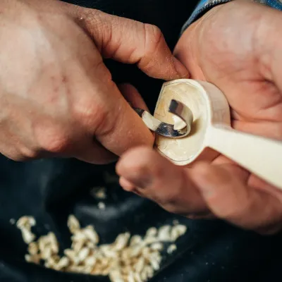 Crafts & workshopsDo dielne, Počúvadlo: woodcarving courses near Banská ŠtiavnicaPočúvadlo19 km from the trailHere, in the quiet among the hills, works the small workshop Do dielne (“To the workshop”). Its owner Dušan Budinský ran a hairdresser’s in Bratislava for eight years,...
 Craft producersKremnica gingerbread: the Haurík family bakery since 1922Kremnica23 km from the trailKremnica is an old mining town in the Kremnica Mountains where coins have been struck for more than six centuries.
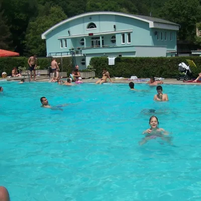 Water parks & thermal poolsChalmová Thermal Pool near PrievidzaBystričany24 km from the trailChalmová Thermal Pool (Termálne kúpalisko Chalmová) is a public pool complex in the village of Chalmová, part of the municipality of Bystričany, about 14 km south of...
