Ždiar, Bachledova dolina — Malá Franková, junction
Trail map
Route, springs and shelters: © OpenStreetMap contributors (ODbL) · elevation: Copernicus DEM © DLR e.V., © Airbus DS · Data & licences
About the trail
Route Ždiar, Bachledova dolina – Malá Franková, junction. Has yellow marking (regional route №8712, KST). Waymarking data: OpenStreetMap (© OpenStreetMap contributors, ODbL).
Officially marked regional tourist route No. 8712. The marking is yellow, the sign is a horizontal stripe on a white background. Marked and maintained by: KST. Length of the route — 7.9 km. Location: mountain range — Spišská Magura, Slovakia.
At a glance
A short route of 7.9 km with 420 m of ascent from Ždiar, Bachledova dolina to Malá Franková, junction. Estimated walking time: about 2.5 h, not counting stops. Difficulty: easy. Waymarking: yellow.
Route stages
- 0–5 kmClimb of 390 m to Bachledka Treetop Walk
- 5–6 kmDescent of 190 m (down to 916 m)
- 6–8 kmGentle ups and downs at 840–920 m
Steepest kilometre: km 4.5–5.5, a descent of 190 m (≈20%), near Bachledka Treetop Walk.
Water and overnight stays
Our map shows no springs near the trail — bring your own water (at least 1.5 l).
When to go
Best time: May to October. In winter deep snow is possible, so experience and winter gear are needed.
Getting there
Start: Ždiar, Bachledova dolina. This is a one-way route: the finish is 7 km from the start in a straight line, so plan your way back in advance.
FAQ
- How long does the route take?
- Estimated walking time: about 2.5 h, not counting stops.
- Is there water on the route?
- Our map shows no springs near the trail — bring your own water (at least 1.5 l).
Comments
Trails nearby
All trails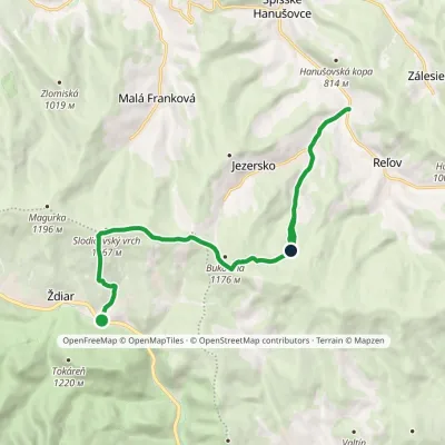 ModerateOne-dayMarkedŽdiar, chapel KeheľElevation profile663–1 167 m12.8 kmascent 674 m≈ 4.5 h walking
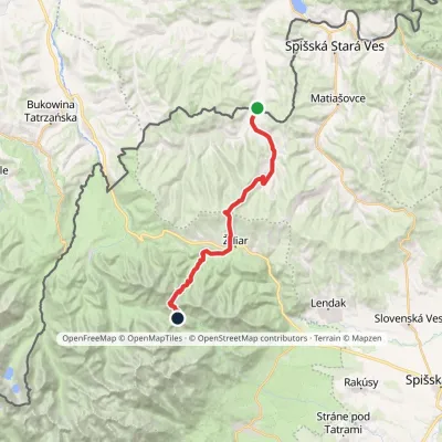 HardTwo-dayMarkedTatranská magistrála (Tatra Highway)Elevation profile613–1 933 m21.2 kmascent 1 744 m≈ 9 h walking
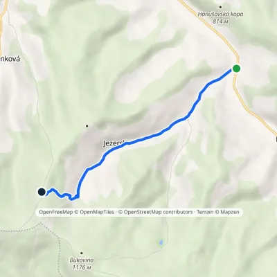 EasyOne-dayMarkedKeheľ HrbElevation profile663–1 094 m5.2 kmascent 431 m≈ 2 h walking
Craft nearby
All craft places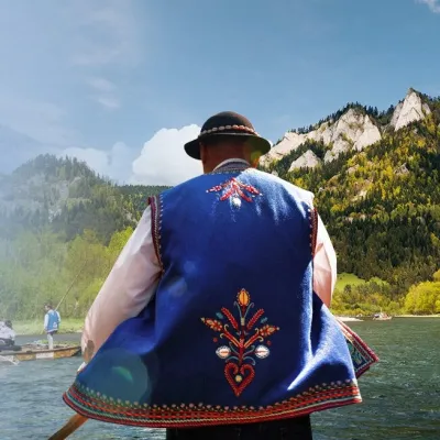 Ethno tours & guidesGoral raftsmen of Červený Kláštor: wooden-raft trip on the DunajecČervený Kláštor11 km from the trailBetween Červený Kláštor and Lesnica the Dunajec cuts a deep, winding gorge through the limestone Pieniny, and here the river becomes the border between Slovakia and...
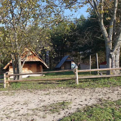 Cheese dairies & pasturesMajerz Meadow Shepherd's Hut, Pieniny National Park: oscypek and żętycaKrośnica13 km from the trailMajerz meadow (hala) sits on a 689 m hill between Czorsztyn-Nadzamcze and the village of Hałuszowa, above Lake Czorsztyn.
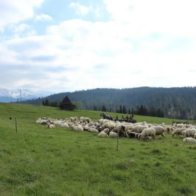 Cheese dairies & pasturesU Jancoka Shepherd's Hut, Brzegi: oscypek from Poland's first female bacaBrzegi14 km from the trailThe U Jancoka shepherd's hut (bacówka) stands beside regional road 960, which runs from Bukowina Tatrzańska to the Łysa Polana border crossing, in the village of Brzegi.
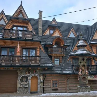 Crafts & workshopsDrewutnia, Bukowina Tatrzańska: glass painting workshops and highland furnitureBukowina Tatrzańska15 km from the trailDrewutnia ("the woodshed") calls itself a "shop for cultural needs". It is the family business of the Kuchtas of Bukowina Tatrzańska, who say they have lived here...
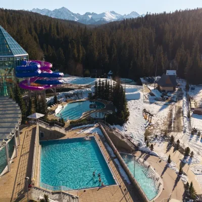 Water parks & thermal poolsTermy BukovinaBukowina Tatrzańska15 km from the trailTermy Bukovina is a modern thermal pool complex in Bukowina Tatrzańska, a village lying about a thousand metres above sea level on the edge of the Tatra National Park.
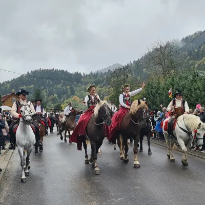 Markets & fairsAutumn Redyk in Szczawnica: sheep drive, oscypek and shepherdsSzczawnica16 km from the trailRedyk is an old Carpathian shepherding custom: in spring the flocks are driven up to the mountain pastures (hale), and in autumn, after the cheese-making season, they...
