Podhorany, viaduct – Štitáre
Trail map
Route, springs and shelters: © OpenStreetMap contributors (ODbL) · elevation: Copernicus DEM © DLR e.V., © Airbus DS · Data & licences
About the trail
Route Podhorany, viaduct – Štitáre. Has blue marking (regional route №2424, KST). Waymarking data: OpenStreetMap (© OpenStreetMap contributors, ODbL).
Officially marked regional tourist route No. 2424. Marking is blue, sign — horizontal stripe on a white background. Marked and maintained by: KST. Length of the route — 4.8 km. Location: mountain range — Strazhovske Mountains, Slovakia.
At a glance
A short route of 4.8 km with 175 m of ascent from Podhorany, viaduct to Štitáre. Estimated walking time: about 1.5 h, not counting stops. Difficulty: easy. Waymarking: blue.
Route stages
- 0–2 kmClimb of 160 m (up to 410 m)
- 2–5 kmDescent of 210 m to Štitáre
Steepest kilometre: km 2.5–3.5, a descent of 120 m (≈12%).
Water and overnight stays
Springs near the trail: at km 0, 1.5 and 5.
When to go
The route can be walked most of the year; it is most comfortable from April to October.
Getting there
Start: Podhorany, viaduct. This is a one-way route: the finish is 4 km from the start in a straight line, so plan your way back in advance.
FAQ
- How long does the route take?
- Estimated walking time: about 1.5 h, not counting stops.
- Is there water on the route?
- Springs near the trail: at km 0, 1.5 and 5.
Water and shelter on the route
- Kadaň Springkm 0.1 from the start · Not verified · 246 m
- Gáborka Springkm 1.7 from the start · 90 m off the path · Not verified · 374 m
- Drinking water below Hôrka (north slope)km 4.8 from the start · 110 m off the path · Not verified · 194 m
Comments
Trails nearby
All trails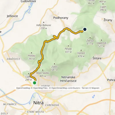 ModerateOne-dayMarkedNitra, Šindolka Under the Long RockElevation profile166–448 m9.9 kmascent 479 m≈ 3.5 h walking
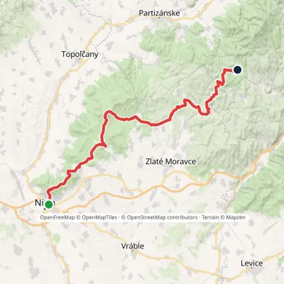 HardMulti-dayMarkedPonitrianska magistrála: Nitra Veľké PoleElevation profile143–843 m69.1 kmascent 2 361 m
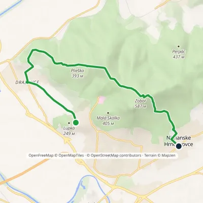 ModerateOne-dayMarkedLupka Nitrianske HrnčiarovceElevation profile146–587 m10.4 kmascent 445 m≈ 3.5 h walking
Craft nearby
All craft places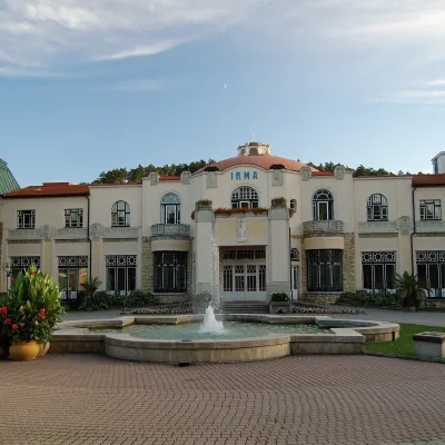 Water parks & thermal poolsPiešťany: the Spa Island, sulphur mud and thermal bathsPiešťany35 km from the trailPiešťany is Slovakia's best-known spa, spread out in the Váh valley between the Považský Inovec and the Little Carpathians.
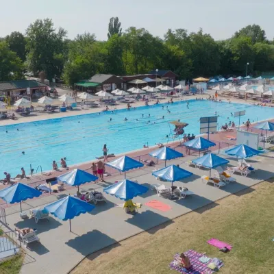 Water parks & thermal poolsMargita-Ilona thermal swimming area near LeviceLevice41 km from the trailMargita-Ilona is a summer swimming area with thermal water 6 km from the town of Levice towards Šahy, in the Kalinčiakovo part of the town.
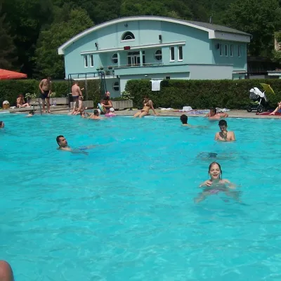 Water parks & thermal poolsChalmová Thermal Pool near PrievidzaBystričany44 km from the trailChalmová Thermal Pool (Termálne kúpalisko Chalmová) is a public pool complex in the village of Chalmová, part of the municipality of Bystričany, about 14 km south of...
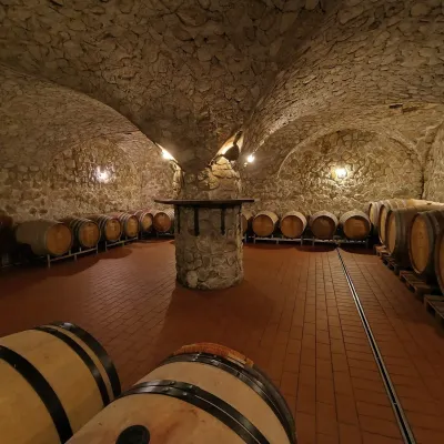 Wine & tastingsMagula Winery, Suchá nad Parnou: biodynamic wines and a farmSuchá nad Parnou49 km from the trailSuchá nad Parnou is a wine village on the south-eastern slopes of the Little Carpathians, near Trnava.
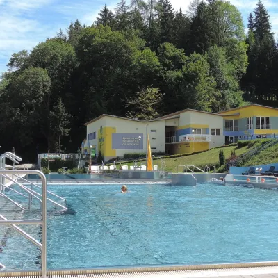 Water parks & thermal poolsVodný raj thermal pools in VyhneVyhne49 km from the trailVodný raj Vyhne ("Water Paradise") is a public pool complex with thermal water in the village of Vyhne, in a quiet wooded valley of the Štiavnické vrchy hills near the...
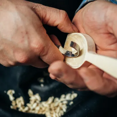 Crafts & workshopsDo dielne, Počúvadlo: woodcarving courses near Banská ŠtiavnicaPočúvadlo50 km from the trailHere, in the quiet among the hills, works the small workshop Do dielne (“To the workshop”). Its owner Dušan Budinský ran a hairdresser’s in Bratislava for eight years,...
