Bochnia – Tymbark
Trail map
Route, springs and shelters: © OpenStreetMap contributors (ODbL) · elevation: Copernicus DEM © DLR e.V., © Airbus DS · Data & licences
About the trail
Route Bochnia – Tymbark. Has blue marking (regional route, PTTK). Waymarking data: OpenStreetMap (© OpenStreetMap contributors, ODbL).
Officially marked regional tourist route. The marking is blue, the sign is a horizontal stripe on a white background. Marked and maintained by: PTTK. Length of the route — 44.5 km. Location: mountain range — Ostry Beskid, Poland.
At a glance
A multi-day route of 44.5 km with 1,321 m of ascent from Bochnia to Tymbark. Estimated time: 2 days of 6–7 h of walking (about 13.5 h in total, not counting stops). Difficulty: hard. Waymarking: blue.
Route stages
- 0–25 kmGentle ups and downs at 200–430 m
- 25–30 kmClimb of 300 m to Łopusze Środkowe (583 m)
- 30–32 kmDescent of 160 m (down to 470 m)
- 32–37 kmClimb of 260 m to Pasierbiecka Góra (764 m)
- 37–40 kmDescent of 280 m (down to 447 m)
- 40–44 kmGentle ups and downs at 390–450 m
Steepest kilometre: km 38–39, a descent of 160 m (≈16%).
Water and overnight stays
Springs near the trail: at km 2, 15, 16, 18, 19 and 21. There are no springs between km 21 and 44 — carry at least 4 l of water.
Huts and shelters near the trail: Bacówka na Zadzielu (km 34).
A possible split into days:
- Day 1: km 0–23, ≈6.5 h — overnight: no shelter nearby on the map, bring a tent
- Day 2: km 23–44, ≈6.5 h — finish
When to go
The route can be walked most of the year; it is most comfortable from April to October.
Getting there
Start: Bochnia. This is a one-way route: the finish is 28 km from the start in a straight line, so plan your way back in advance.
FAQ
- How long does the route take?
- Estimated time: 2 days of 6–7 h of walking (about 13.5 h in total, not counting stops).
- Is there water on the route?
- Springs near the trail: at km 2, 15, 16, 18, 19 and 21. There are no springs between km 21 and 44 — carry at least 4 l of water.
- Where can I stay overnight?
- Huts and shelters near the trail: Bacówka na Zadzielu (km 34).
Water and shelter on the route
- City Wellkm 2 from the start · 160 m off the path · Not verified · 271 m
- Spring below Bukowiec (north-west slope), 377 mkm 14.7 from the start · 240 m off the path · Not verified · 377 m
- Spring below Bukowiec (west slope)km 15.2 from the start · 180 m off the path · Not verified · 382 m
- Spring below Bukowiec (south-west slope), 365 mkm 16.2 from the start · 90 m off the path · Not verified · 365 m
- Spring below Dział (north-east slope)km 18 from the start · 180 m off the path · Not verified · 330 m
- Spring below Paprotna (Paprocka) (north-east slope), 373 mkm 19.2 from the start · 110 m off the path · Not verified · 373 m
- Spring below Paprotna (Paprocka) (north-east slope), 395 mkm 20.6 from the start · 240 m off the path · Not verified · 395 m
- Bacówka na Zadzielukm 33.6 from the start · Standing · 620 m
Comments
Trails nearby
All trails
Craft nearby
All craft places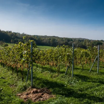 Wine & tastingsWinnica Chronów: natural wines where the Island Beskids begin13 km from the trailWinnica Chronów lies where the Island Beskids (Beskid Wyspowy) begin, on the edge of the Wiśnicz-Lipnica Landscape Park, in the small village of Chronów in the Nowy...
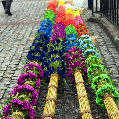 Markets & fairsLipnica Murowana Palm Contest: giant Easter palms and fair15 km from the trailLipnica Murowana is a tiny historic town on the Wiśnicz Foothills, among orchards and hills between Bochnia and Limanowa.
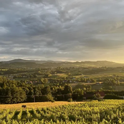 Wine & tastingsWinnica Nowizny, Połom Mały: wine from an 1891 cellar24 km from the trailWinnica Nowizny is a family farm in the village of Połom Mały, Iwkowa municipality, in the Rożnów Foothills of Lesser Poland, north of Nowy Sącz and Lake Rożnów.
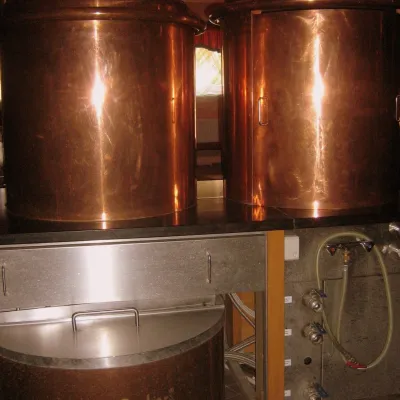 Craft shopsCistercian monastery shop, Szczyrzyc: abbey cheese, milk and Gryf beer28 km from the trailIts heart is the Cistercian abbey: the monks arrived in the first half of the 13th century and, according to the monastery itself, have lived here without interruption...
 Markets & fairsFasolowe Żniwa in Rożnów: the Piękny Jaś bean harvest festival30 km from the trailThe Dunajec valley around Lake Rożnów is famous for the large white “Piękny Jaś” (Beautiful Johnny) bean. “Fasola Piękny Jaś z Doliny Dunajca” holds EU Protected...
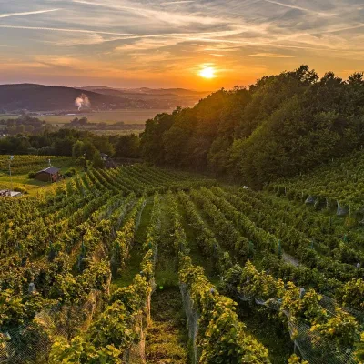 Wine & tastingsWinnica Dąbrówka near Tarnów: wines named after Polish royals31 km from the trailWinnica Dąbrówka lies in the village of Dąbrówka Szczepanowska, Pleśna municipality, 12 km from Tarnów, where the Sandomierz Basin meets the Western Carpathian foothills.
