Siklawica Waterfall
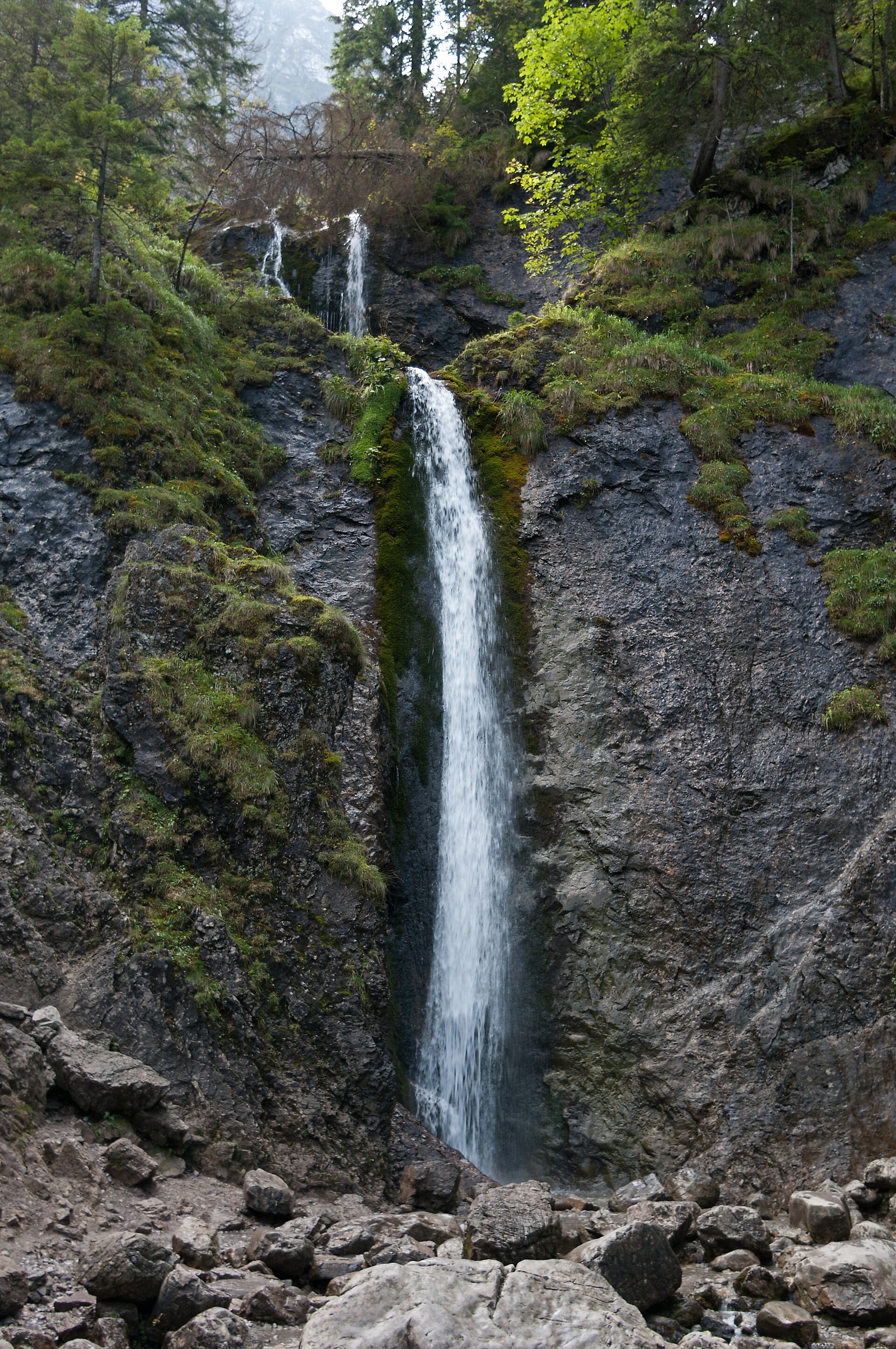
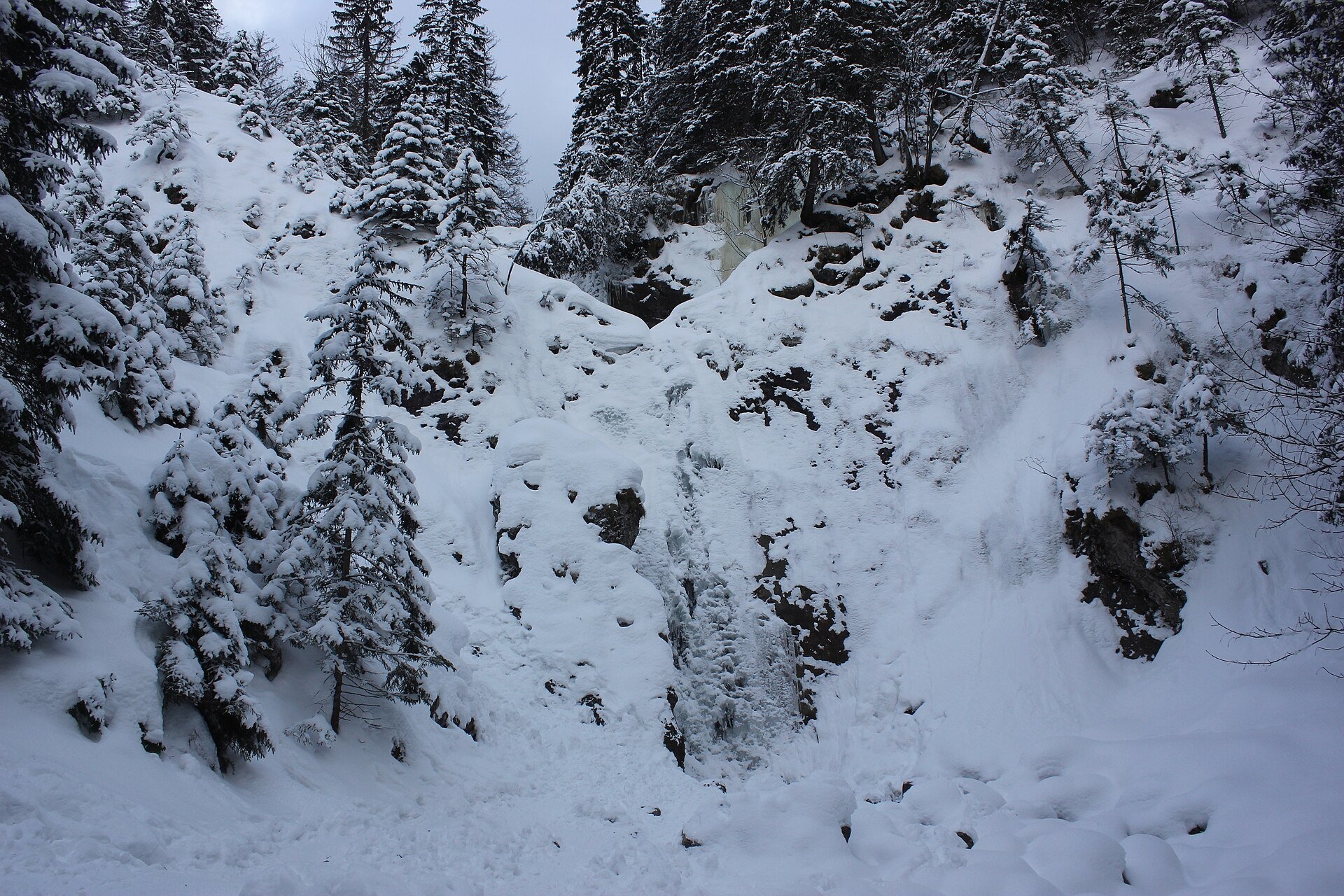
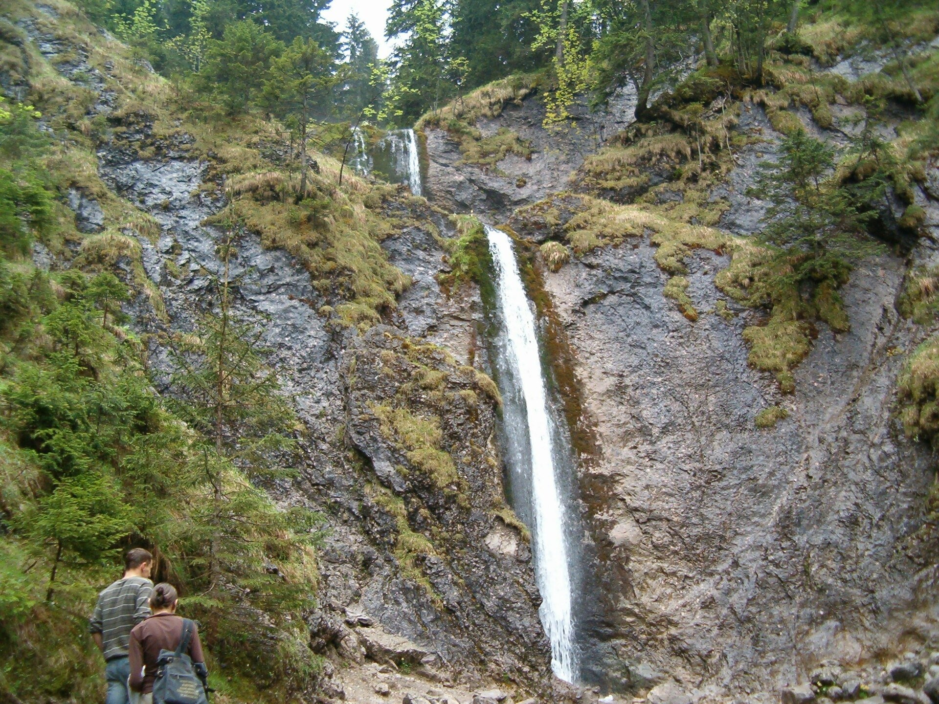
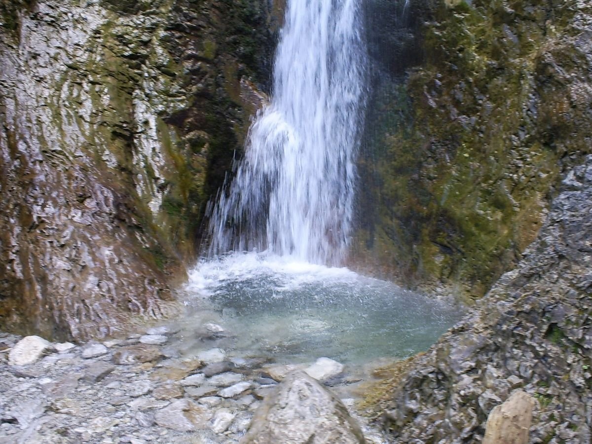
A waterfall below the wall of Giewont
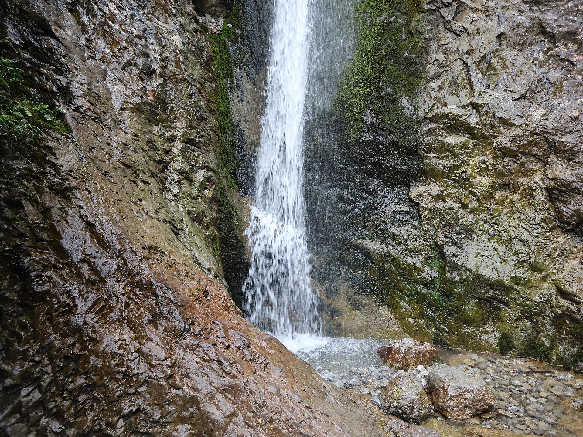
Siklawica (also Siklawica Strążyska) is a waterfall in the Western Tatras, in the upper part of the Strążyska Valley (strictly speaking in its branch called Mała Dolinka), below the north face of Giewont. The water drops from almost vertical rock in two cascades; according to TPN their combined height is about 20 m, while Wikipedia specifies that the lower and upper parts are 12 m each, with a third step of 9 m a little higher up. Between the cascades the water has scoured a deep basin in a rock ledge — a so-called pothole. The waterfall is named after Wielka Siklawa in the Valley of Five Lakes; it used to be called Sicząca or Siczawa as well.
Siklawica has drawn visitors since the very beginnings of Tatra tourism: in 1849 the geologist Ludwik Zejszner wrote that it was “worth seeing in every respect”. The shortest path from Zakopane to Giewont once led past the falls and up the steep Warzecha gully. The waterfall is changeable: in winter it becomes an icefall, and in summer and autumn, after long dry spells, it almost disappears.
What to see
- The Strążyska Valley — natural beech forest in a strict protection zone, with firs, spruces and sycamores; on a rainy day you may spot fire salamanders near the artificial pond at the Młyniska clearing, and trout in the stream.
- Polana Strążyska (1,000–1,060 m) with two old shepherds' huts, the “Sphinx” boulder and a tourist buffet. Above it rises the roughly 600 m wall of Giewont (1,894 m), topped by a metal cross from 1901 (17.5 m).
- The waterfall itself and the basin between the cascades.
Practical information
Getting there. The valley entrance is at 904 m at the end of Strążyska Street in Zakopane; the Droga pod Reglami path also leads here. After the TPN ticket point and toilets, the red trail climbs through the forest for about 2 km to Polana Strążyska, from where the yellow trail reaches the waterfall in 300 m; you return the same way (the meadow – waterfall – meadow section takes about 15 minutes). The path is compacted and gentle, making this one of the easiest walks in the Tatras, suitable for families with small children.
A longer loop. Fit walkers can continue from the meadow on the black trail to Czerwona Przełęcz (1,301 m) and Sarnia Skała (1,377 m), with views of Giewont and Podhale, then descend through the Białego Valley to Droga pod Reglami and Wielka Krokiew. According to TPN the whole route is 8.2 km: about 2 hours up and 1.5 hours down; after rain the descent into the Białego Valley is slippery.
Tickets and rules. The TPN ticket costs 11 zł (reduced 5.50 zł, children under 7 free) and can be bought online or at the ticket point by the entrance. Dogs, bicycles and drones are banned here; from 1 March to 30 November trails may not be used between dusk and dawn. In winter the path can be icy, so shoes with a good grip or light microspikes are a good idea.
Nearby
- Wielka Krokiew — Poland's largest ski jump, where the loop via Sarnia Skała ends.
- Krupówki — the pedestrian centre of Zakopane.
- Kościeliska Valley — another easy valley for a walk.
Official website: tpn.gov.pl
Photos: Chrumps, CC BY-SA 4.0, Wikimedia Commons; Andrzej Otrębski, CC BY-SA 4.0, Wikimedia Commons; Cybularny, CC0, Wikimedia Commons; Konradr, CC BY-SA 2.5, Wikimedia Commons; Wolfgang (Gdynia-Poland), Public domain, Wikimedia Commons.
Getting there from Ukraine
Border crossings
- Krakovets – Korczowa — road, 24/7
- Shehyni – Medyka — road, 24/7 Pedestrian crossing is not confirmed by the Ukrainian border service — check dpsu.gov.ua before the trip.
- Smilnytsia – Krościenko — road, 24/7
- Hrushiv – Budomierz — road, 24/7
- Mostyska – Przemyśl (rail) — rail, 24/7
By car
Lviv – Zakopane ≈421 km, ≈5 h 10 min without border queues. Route: M-10 Lviv – Krakovets → Krakovets – Korczowa checkpoint → A4 motorway (Rzeszów – Tarnów – Kraków) → Kraków southern bypass → S7/DK7 → DK47 ('Zakopianka') via Nowy Targ → Zakopane. The A4 Katowice – Kraków section (Balice and Mysłowice toll plazas) is tolled, but this route does not use it. In summer and at weekends the DK47 near Zakopane is often congested.
Checked 23.10.2026; border crossing hours and timetables change — check before you travel.
Location on the map
Comments
Trails nearby
All trails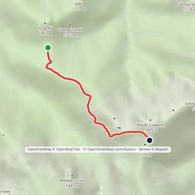 EasyOne-dayMarkedPass in Grzybowiec Wyżnia Kondracka PassElevation profile1 321–1 769 m2.3 kmascent 426 m≈ 1.5 h walkingunder 1 km from Siklawica Waterfall
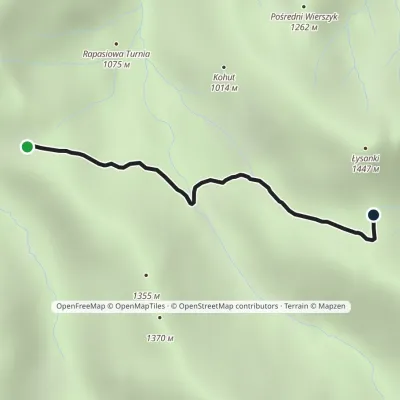 EasyOne-dayMarkedPrzysłop Miętusi Przełęcz w GrzybowcuElevation profile1 167–1 342 m2.1 kmascent 164 m≈ 45 min walking1 km from Siklawica Waterfall
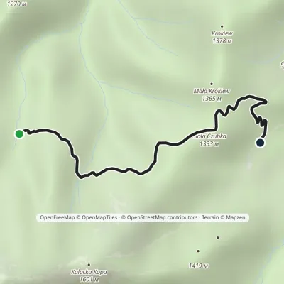 EasyOne-dayMarkedHala Białe Hotel Górski PTTK KalatówkiElevation profile1 192–1 337 m2.5 kmascent 95 m≈ 45 min walking1.3 km from Siklawica Waterfall
Nearby attractions
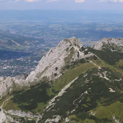 PeakGiewontaltitude 1 895 munder 1 km from Siklawica WaterfallGiewont is a 1,895 m mountain massif in the Western Tatras, towering over Zakopane. Its main summit, Wielki Giewont, is usually regarded as the highest peak of the...
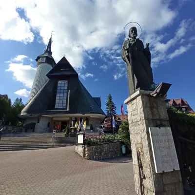 ChurchOur Lady of Fatima Shrine at Krzeptówki2.9 km from Siklawica WaterfallThe Shrine of Our Lady of Fatima at Krzeptówki is one of the best-known modern churches in Poland and the most important pilgrimage site in Zakopane.
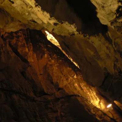 NatureMroźna Cave4.4 km from Siklawica WaterfallMroźna Cave is the best-known show cave in the Polish Tatras. It lies on the eastern slope of the Kościeliska Valley, in the Organy massif, about 120 m above the...
Craft nearby
All craft places Koliby & Hutsul cuisineBąkowo Zohylina Wyźnio Highland Tavern3.7 km from Siklawica WaterfallBąkowo Zohylina Wyźnio is a regional highland tavern in Zakopane housed in a wooden "szałas" (shepherd-hut-style building) with a view of the Tatras.
 Cheese dairies & pasturesFurtek's Shepherd's Huts, Kuźnice and Kalatówki4.1 km from Siklawica WaterfallAbove Kuźnice — the southern edge of Zakopane where most hikes into the Western and High Tatras begin — the flocks are tended by baca Andrzej Staszel, nicknamed "Furtek".
 Markets & fairsMarket under Gubałówka4.5 km from Siklawica WaterfallThe market under Gubałówka (Targ pod Gubałówką) is Zakopane's best-known bazaar and probably the most photographed row of stalls in the Polish Tatras.
 Cheese dairies & pasturesShepherd's Hut in the Kościeliska Valley4.5 km from Siklawica WaterfallJózef Słodyczka's bacówka (shepherd's hut) on the Wyżnia Kira Miętusia glade is probably the most easily reached shepherds' hut in the Polish Tatras.
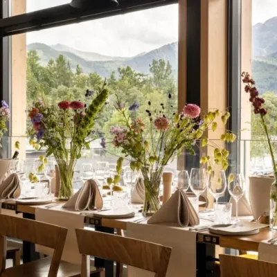 Craft beer & breweriesGwarno Restaurant & Brewery, Zakopane4.5 km from Siklawica WaterfallGwarno is a restaurant with its own small brewery at the foot of Gubałówka in Zakopane. It stands on Na Gubałówkę street right next to the lower station of the...
 Water parks & thermal poolsTermy Zakopiańskie (Aqua Park Zakopane)4.7 km from Siklawica WaterfallTermy Zakopiańskie is a thermal water park right in Zakopane, on Jagiellońska Street, only a kilometre from Krupówki.
