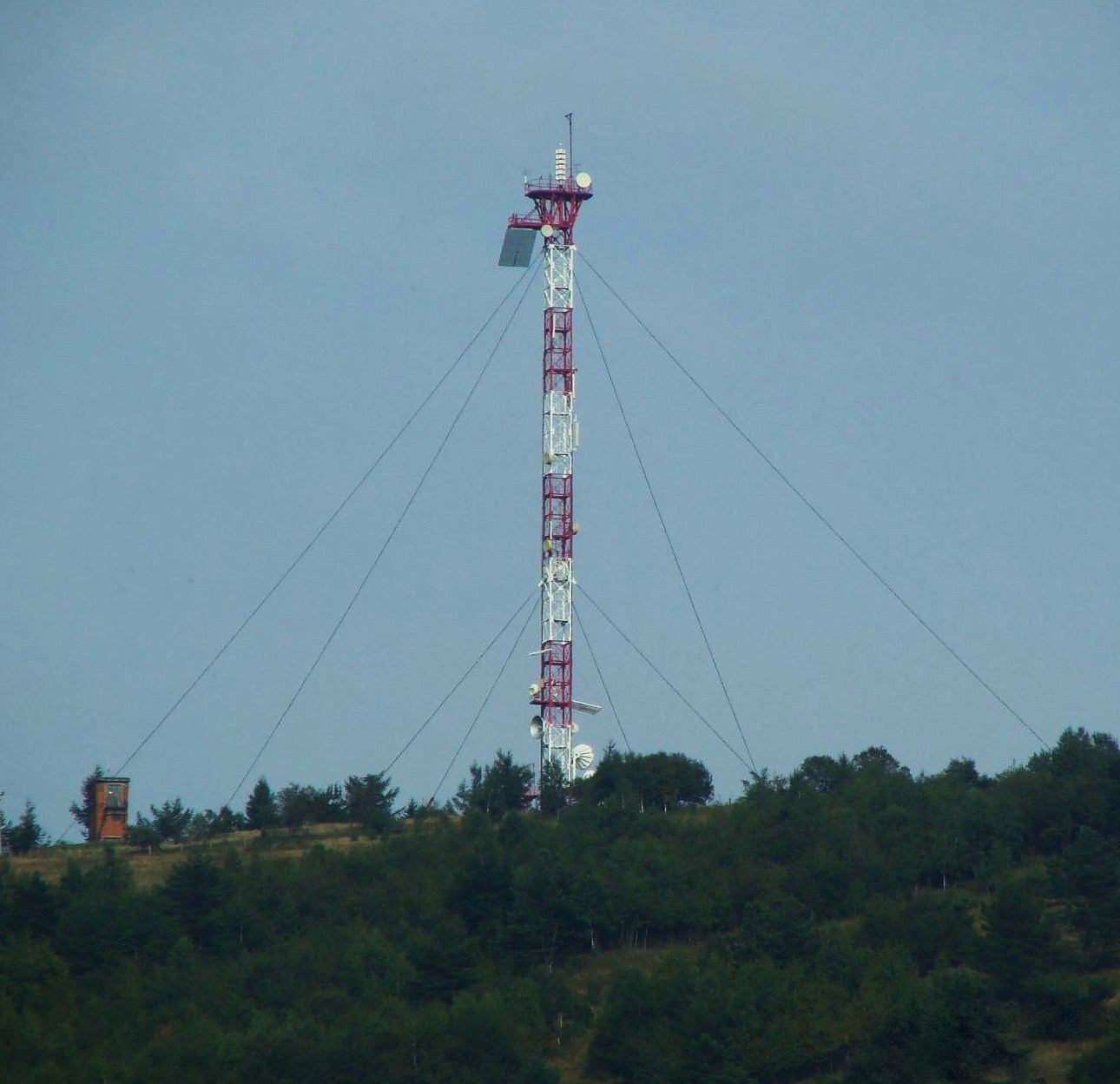
Horodyshche (646 m; other sources give 641.8 m) is a hill in the Upper Dniester Beskids and the highest point of the town of Boryslav in Lviv Oblast. It used to be called Storozhnia. The hill rises in the south-western part of the town and separates its districts of Bania Kotivska and Mrazhnytsia. It is easy to recognise from afar: the rounded top stands apart from the neighbouring ridges, rises 200–250 m above the foothills, and carries an openwork TV tower on its summit.
Horodyshche is not a high mountain but a place where ancient history, the oil rush of the 19th and 20th centuries and the modern town meet in a single view. Locals from Boryslav and Truskavets walk up here, as do hikers heading further into the Beskids.
Getting there / routes
The regional marked route No. 11 «Boryslav – Dovbush Rocks» (yellow waymarks), set up by the tourism and resorts department of the Lviv regional administration, crosses the hill. It leads from the town over Horodyshche towards the Dovbush Rocks. The hill also makes a short walk from Boryslav itself: the climb starts right from the town streets.
For cyclists there are routes of the «VeloBeskydy» project: the «Monastery Road» from Boryslav and cycle route No. 4 to Mount Horodyshche (orange waymarks). The nearest water sources in our catalogue are Spring No. 3 (about 1.4 km to the south) and Drinking water (Boryslav).
At the southern foot of the hill, on the Tysmenytsia river, the small Boryslav waterfall is worth a look. The Bukovytsia ski area with chairlifts lies 2.3 km south of the summit, and Tsiukhiv rises 7 km to the south-west.
The view from the top
Boryslav lies right below the hill, with the foothills and the slopes of the Beskids beyond. Local historians point out an important detail: from Horodyshche you can clearly see Teptiuzh hill near Drohobych, which was also an ancient lookout, as well as the salt springs in neighbouring villages. This line of sight is one of the arguments for the theory that a watch post once stood on the summit.
Nature and history
The slopes of Horodyshche are mostly covered with beech forest, while the lower parts near the valleys are partly or fully open. Tributaries of the Tysmenka stream rise on the western slopes, the Tysmenytsia flows past the southern foot, and the Ratchyna river runs north of the summit.
The name means «hillfort site». Parts of a defensive rampart did survive on the summit, but in the 1970s they were largely destroyed when an oil pumpjack exploded. Nobody knows for sure what stood here. One theory says it was the «Boryslav» monastery that supposedly gave the town its name; another holds that it was a fortified lookout over the old salt road from Drohobych to Tustan fortress. A 1525 boundary document calls the hill between two villages «Storozhnia» (watch hill), which also points to a defensive role.
After oil deposits were discovered in the second half of the 19th century, the hill changed beyond recognition: a real forest of oil derricks replaced the trees on its slopes. At night the derricks were lit with electric lamps, and tourists from Truskavets, Lviv and even abroad came to see the lights of «Galician California». Later the derricks gave way to compact pumpjacks, which can still be seen on the slopes.
The TV tower on the summit was assembled by Boryslav drilling crews from a decommissioned drilling rig. According to Wikipedia this happened in 1972; the tower is 41 m tall, 43 m with antennas. Local historians tell a half-legend that the rig was raised overnight at the demand of a senior official who could not watch television in his Truskavets sanatorium.
Safety, season and rules
Horodyshche can be visited all year round and needs no special equipment, but after rain and in winter the steeper paths get slippery. Working oil wells and pumpjacks stand on the slopes — they are industrial sites: keep away from them, do not touch the equipment and do not enter fenced areas. Take your litter home and do not light fires in the forest. In an emergency call 112 or 101; rescue contacts are on the page mountain rescue.
Interesting facts
- Horodyshche is the highest point of Boryslav.
- The TV tower on the summit was built from a drilling rig — a monument to the town's oil past.
- The Boryslav waterfall at the foot of the hill only formed in the mid-1940s and keeps growing because of neotectonic uplift.
Photos: К.С.Павляк, CC BY-SA 2.5 — Wikimedia Commons.
Location on the map
Water and shelter nearby
- Spring No. 31.4 km · Not verified · 434 m
- Drinking water (Boryslav)2.7 km · Not verified · 385 m
Comments
Places to stay nearby
All stays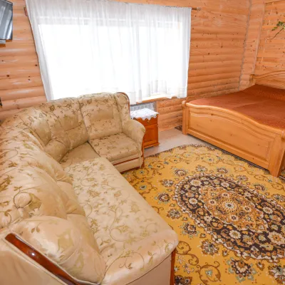 HomesteadGuest House "Kozatsky Dvoryk"Skhidnytsia5.6 km from Mount Horodyshche (Boryslav)BBQKitchenParkingNearby: Boryslav waterfall 6.2 kmMuseum of Tustan History 6.3 km1 trail
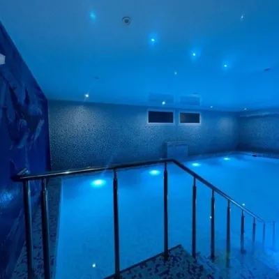 HotelHotel "Stolytsia"Skhidnytsia5.8 km from Mount Horodyshche (Boryslav)Hotel "Stolytsia" in Skhidnytsia - swimming pool and SPA. Hotel "Stolytsia" is located in the central part of the Skhidnytsia resort.Nearby: Mt Tsiukhiv 6.4 kmBoryslav waterfall 6.5 km1 trail
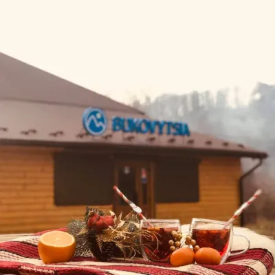 Ski resortSki Resort "Bukovitsa", BoryslavBoryslav5.2 km from Mount Horodyshche (Boryslav)"Bukovitsa" is a modern ski resort in Ukraine, located in the Eastern Beskids of the Carpathian forests.Nearby: Church of St. Anne 3.1 kmBoryslav waterfall 3.9 km8 trails
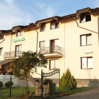 HotelHotel EdelweissSkhidnytsia6.1 km from Mount Horodyshche (Boryslav)Hotel "Edelweiss" is located in a picturesque corner of the balneological resort Skhidnytsia, 350 m from spring No. 18 and 2C.Nearby: Museum of Tustan History 5.9 kmBoryslav waterfall 6.6 km1 trail
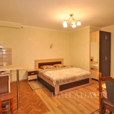 CottageApartments "Zolota Banya"Skhidnytsia6.1 km from Mount Horodyshche (Boryslav)KitchenWi‑FiNearby: Museum of Tustan History 6.2 kmBoryslav waterfall 6.7 km1 trail
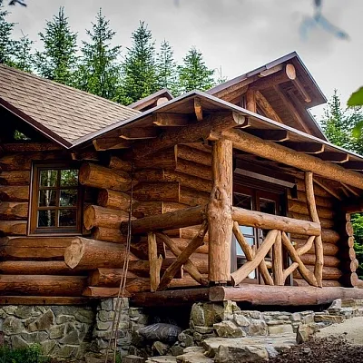 CottageCottage "FOREST HOUSE EXCLUSIVE" MykulychynSkhidnytsia6.5 km from Mount Horodyshche (Boryslav)BBQKitchenParkingNearby: Museum of Tustan History 5.3 kmLazny waterfall 6.9 km3 trails
Trails nearby
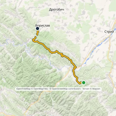
All trails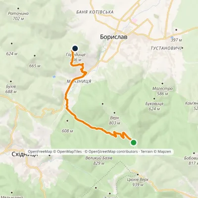 EasyOne-dayMarkedMonastery Road: Boryslav Mount Horodyshche (VeloBeskydy)Elevation profile424–776 m10.3 kmascent 207 m≈ 3 h walkingunder 1 km from Mount Horodyshche (Boryslav)
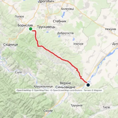
 HardMulti-dayMarkedNo. 11 Boryslav Dovbush RocksElevation profile365–852 m48.2 kmascent 1 349 munder 1 km from Mount Horodyshche (Boryslav)
 HardTwo-dayMarkedNo. 506 Boryslav RozghircheElevation profile347–808 m30.2 kmascent 536 m≈ 8.5 h walking3.7 km from Mount Horodyshche (Boryslav)
Nearby attractions
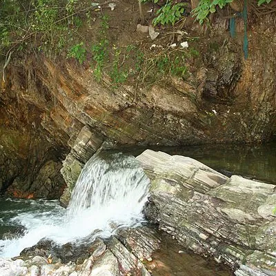 WaterfallBoryslav waterfallBoryslav1.4 km from Mount Horodyshche (Boryslav)The Young Boryslav Waterfall is a small waterfall (falling height is about two meters). It was formed in the mid-1940s and continues to grow gradually.
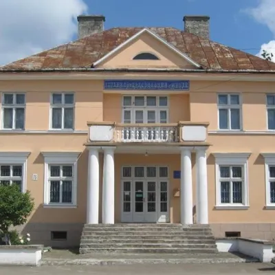 MuseumBoryslav Museum of History and Local LoreBoryslav1.9 km from Mount Horodyshche (Boryslav)The history of Prykarpattia is full of difficulties and joys. And the local nature is so beautiful and unique that it is reflected in the best works of world writers...
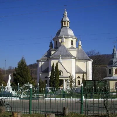 ChurchChurch of the Assumption of the Blessed Virgin Mary, BoryslavBoryslav1.9 km from Mount Horodyshche (Boryslav)TheChurch of the Assumption of the Blessed Virgin Mary is a functioning Greek Catholic church in the city of Boryslav, Lviv region, on S.
Craft nearby
All craft places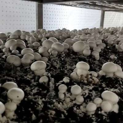 Eco farmsBorovyk Mushroom Farm (Champiland), BoryslavBoryslav3.1 km from Mount Horodyshche (Boryslav)Borovyk is a family mushroom farm in Boryslav, a few kilometres from the spa towns of Truskavets and Skhidnytsia.
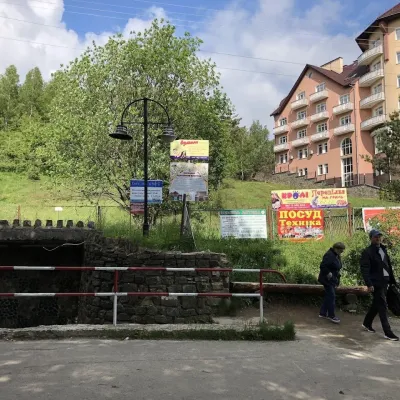 Theme parksMineral Spring No. 1-S (Naftusya), SkhidnytsiaSkhidnytsia5.6 km from Mount Horodyshche (Boryslav)Spring No. 1-S is one of the most popular mineral springs in Skhidnytsia, the mountain spa near Drohobych often called Truskavets’ younger sibling.
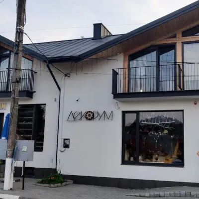 Craft shopsDecorum Art Shop, SkhidnytsiaSkhidnytsia6.2 km from Mount Horodyshche (Boryslav)Decorum is a small art shop in the very heart of Skhidnytsia, on Zolota Bania Street close to the central pump rooms and the resort's promenade.
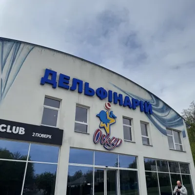 Wildlife parks & animal farmsOskar Dolphinarium, TruskavetsTruskavets7.5 km from Mount Horodyshche (Boryslav)Oskar Dolphinarium is an entertainment and wellness complex in Truskavets at 18 Horodyshche Street, opened on 31 October 2015.
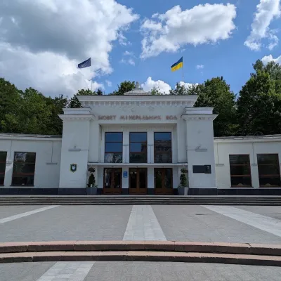 Theme parksCentral Mineral Water Pump Room No. 1, TruskavetsTruskavets8.5 km from Mount Horodyshche (Boryslav)Central Mineral Water Pump Room No. 1 is the heart of the Truskavets spa and the place holidaymakers head for every morning, afternoon and evening with their own...
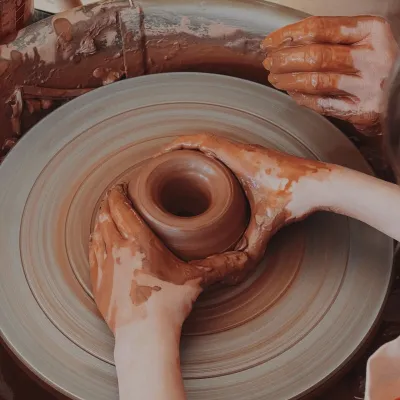 Crafts & workshopsKolo Hlyny Pottery Studio, TruskavetsTruskavets8.5 km from Mount Horodyshche (Boryslav)Kolo Hlyny (“Clay Wheel”) is a pottery art studio right in the heart of the spa town of Truskavets, at 6 Toroszewicza Boulevard, a short walk from the central pump room.
