Kozi Wierch
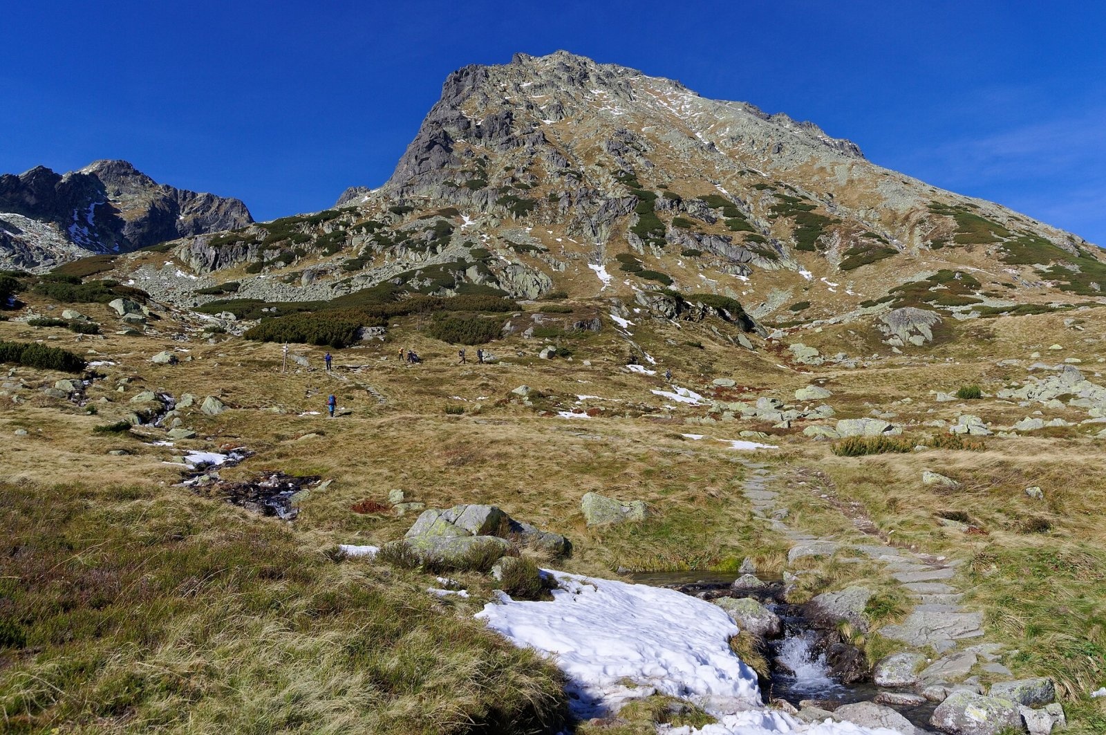
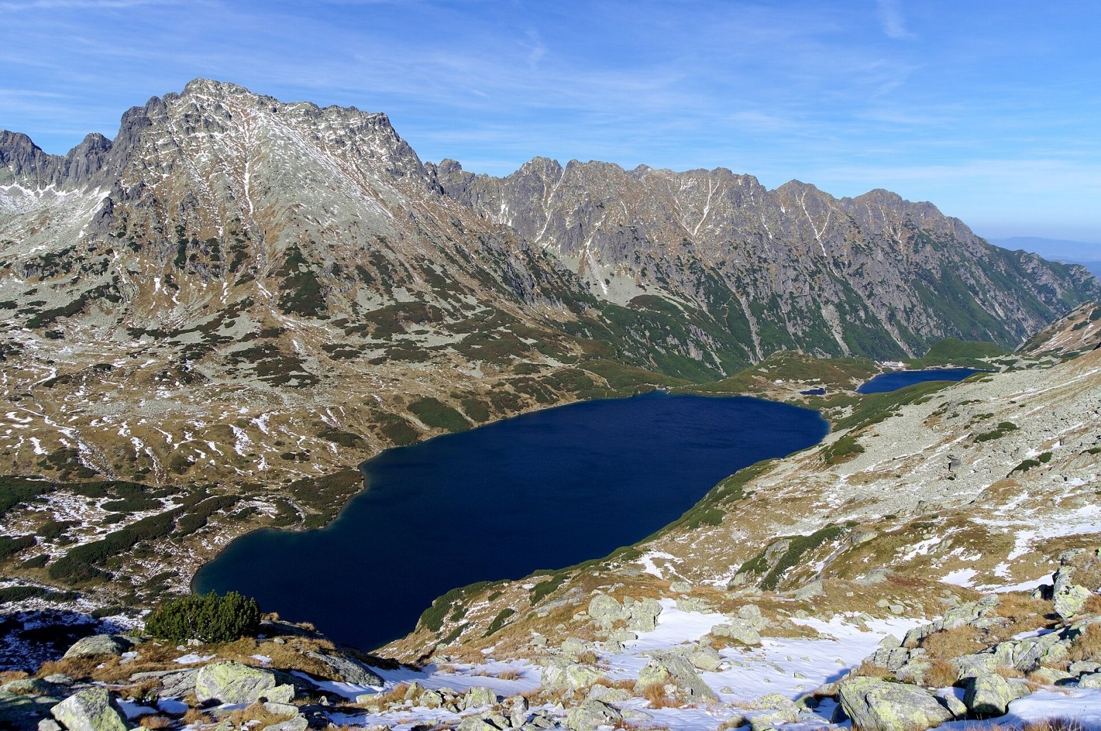
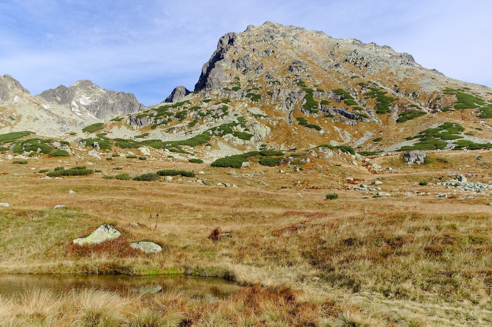
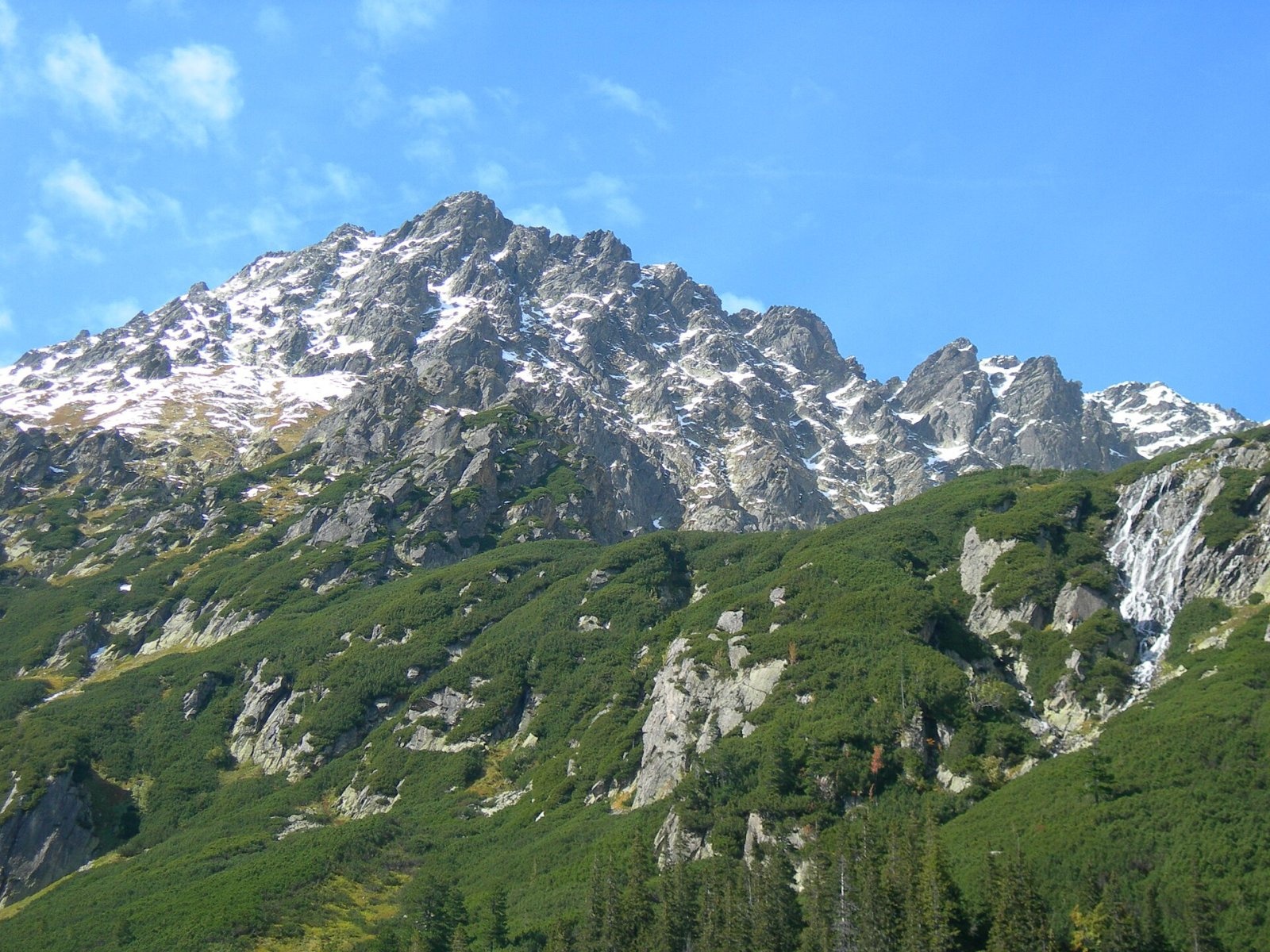
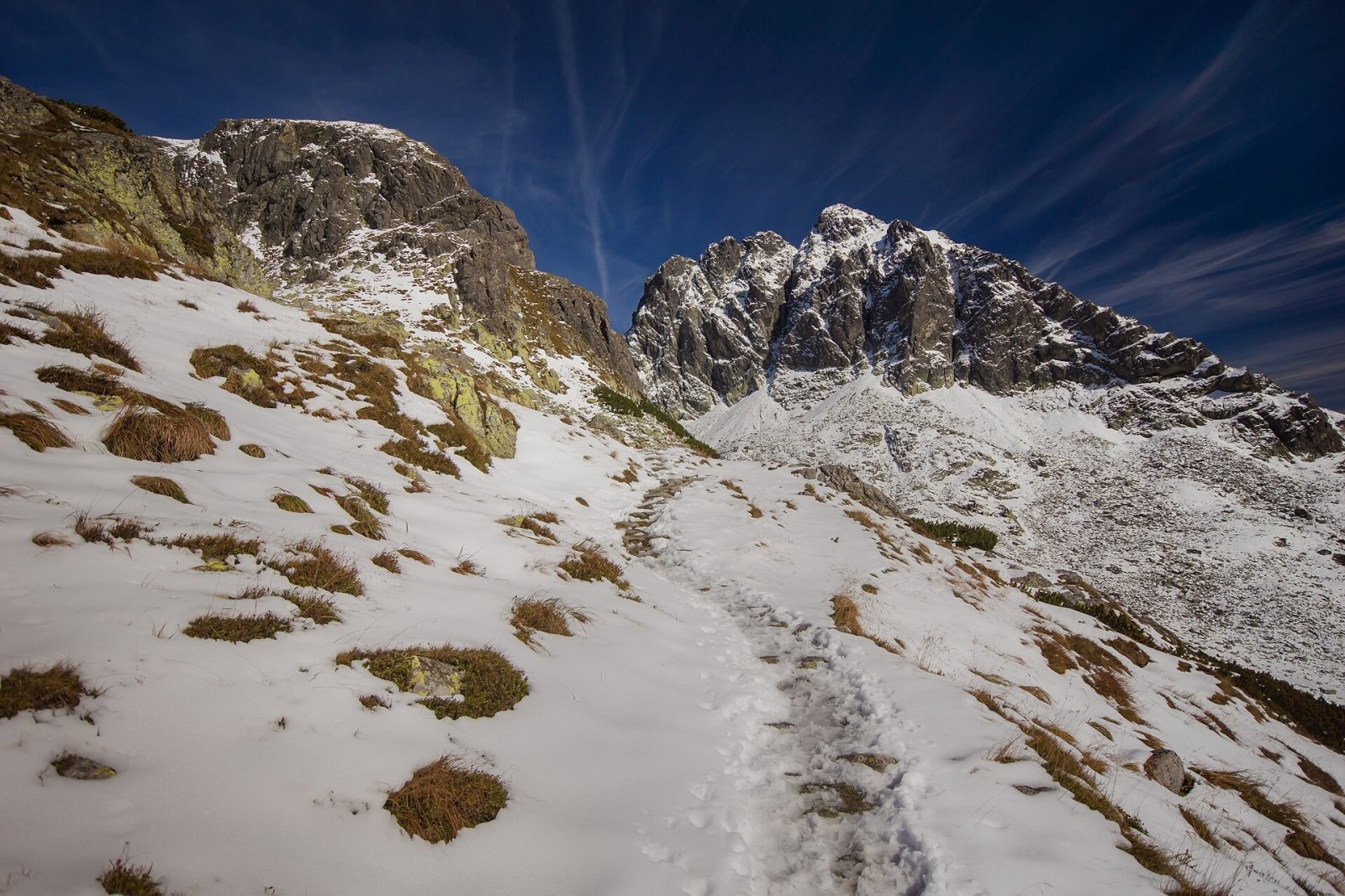
Kozi Wierch (Slovak: Kozí vrch) is a 2,291 m peak in the High Tatras and the highest mountain with noticeable prominence lying entirely within Poland. It rises on the long eastern ridge of Świnica between Dolina Gąsienicowa and the Valley of the Five Polish Ponds — more precisely between the hanging valleys of Dolinka Kozia and Dolinka Pusta. The famous Orla Perć runs over the summit, and Kozi Wierch is the highest point of that route. Kuźnice lies about 6.7 km away in a straight line, central Zakopane about 10.6 km to the north-west, and the Five Polish Ponds hut roughly 1.6 km to the south-east.
How to get there / routes
- Black trail from Wielki Staw in the Valley of the Five Polish Ponds, up the broad Szeroki Żleb gully — the easiest approach, about 1 h 30 min up and 1 h down. The southern slope is fairly gentle (around 30°) and has no chains, but it is rocky and steep in places.
- Red Orla Perć from Zawrat Pass — a very exposed and technically demanding section, one of the hardest hiking routes in the Tatras. Since 2007 it has been one-way — only eastbound from Zawrat to Kozi Wierch; walking it in the opposite direction is forbidden. Allow roughly 3 h 10 min. Blue trails lead to Zawrat from the Murowaniec hut (via Czarny Staw Gąsienicowy) and from the Five Polish Ponds valley.
- From Kozia Przełęcz — reached by the yellow trail from Dolinka Kozia (above Zmarzły Staw), then along the Orla Perć to the top; this stretch is also part of the one-way section.
- Black trail up Żleb Kulczyńskiego from Dolinka Kozia — joins the Orla Perć east of the summit; a fairly difficult climb.
- Further east the Orla Perć continues over the Granaty and Buczynowe Turnie to Krzyżne Pass — about 3 h 30 min.
The nearest bases are the Murowaniec hut on Hala Gąsienicowa (from Kuźnice) and the Five Polish Ponds hut (from Palenica Białczańska). The times are only a guide: on the Orla Perć they depend heavily on experience and on queues at the chains.
The view from the summit
The rocky summit offers an all-round view: the surrounding High Tatras peaks, the Belianske Tatras ridge and the wide area around Zakopane. To the south lies the Five Polish Ponds valley, to the north Dolina Gąsienicowa with Czarny Staw and Kościelec, to the west Świnica. In good visibility, according to Czech and Slovak sources, the Orava Beskids, Spišská Magura and a large part of the Low Tatras can be seen.
Nature and history
The name ("Chamois Peak") comes from the herds of chamois that often grazed on its gentle southern slopes. Shepherds from the Five Polish Ponds valley used this name, while those from Dolina Gąsienicowa called the mountain Czarne Ściany ("Black Walls") — a name later moved by hikers to a neighbouring peak. "Kozi Wierch" appears in writing from 1851.
The northern cliffs, up to 210 m high, drop to Dolinka Kozia and the south-western walls, about 250 m, to Dolinka Pusta; many climbing routes run up them. The middle part of the southern slope is an example of an old slope never reshaped by glaciers. Rare plants found here include Bigelow's sedge, Lachenal's sedge and the one-flowered mouse-ear chickweed.
The first recorded ascent was made in 1867 by Eugeniusz Janota and the guide Maciej Sieczka, although shepherds and hunters had very probably been up much earlier. The first winter ascent — on skis — was made by Mariusz Zaruski and Józef Borkowski on 3 April 1907, one of the greatest feats of Tatra skiing at the time. Żleb Kulczyńskiego is named after Władysław Kulczyński, who climbed it in 1893.
Safety, season and rules
The Orla Perć is unforgiving: narrow ledges above drops, chains, staples and ladders, and in season queues caused by unprepared hikers. In winter the easiest way up is the southern slope from the Five Polish Ponds valley, but crampons, an ice axe and the skill to use them are essential; the gullies, especially Szeroki Żleb, are prone to avalanches. Winter ascents by other routes, including the Orla Perć, are serious mountaineering undertakings. In a thunderstorm a ridge with metal fixtures is particularly dangerous; TPN recommends a via ferrata set (harness, lanyard, helmet) on such sections.
- Entry to Tatra National Park is paid (since 2025: 11 PLN, reduced 5.50 PLN).
- From 1 March to 30 November all park trails are closed from dusk to dawn; from 1 December to the end of February, from 22:00 to 05:00.
- Stay on marked trails; dogs, drones and camping are not allowed.
- Emergency numbers: TOPR 985 or +48 601 100 300, and 112. Before setting out, check the daily TPN bulletin for conditions and closures.
Interesting facts
- Kozi Wierch is the highest point of the Orla Perć and the highest mountain that Poland does not share with another country.
- Filar Leporowskiego on the north face is named after Jerzy Leporowski, who died on it in 1928.
Photos: Jakub Hałun, CC BY-SA 4.0; Jakub Hałun, CC BY-SA 4.0; Jakub Hałun, CC BY-SA 4.0; Krzysztof Dudzik-Górnicki, CC BY 3.0; Aneta Pawska, CC BY-SA 3.0 pl; Marcowy Człowiek, CC BY 3.0 — Wikimedia Commons.
Getting there from Ukraine
Border crossings
- Krakovets – Korczowa — road, 24/7
- Shehyni – Medyka — road, 24/7 Pedestrian crossing is not confirmed by the Ukrainian border service — check dpsu.gov.ua before the trip.
- Smilnytsia – Krościenko — road, 24/7
- Hrushiv – Budomierz — road, 24/7
- Mostyska – Przemyśl (rail) — rail, 24/7
By car
Lviv – Zakopane ≈421 km, ≈5 h 10 min without border queues. Route: M-10 Lviv – Krakovets → Krakovets – Korczowa checkpoint → A4 motorway (Rzeszów – Tarnów – Kraków) → Kraków southern bypass → S7/DK7 → DK47 ('Zakopianka') via Nowy Targ → Zakopane. The A4 Katowice – Kraków section (Balice and Mysłowice toll plazas) is tolled, but this route does not use it. In summer and at weekends the DK47 near Zakopane is often congested.
Checked 23.10.2026; border crossing hours and timetables change — check before you travel.
Location on the map
Comments
Trails nearby
All trails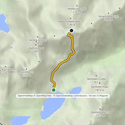 EasyOne-dayMarkedKrzyżne Zagon NiżniElevation profile1 674–2 107 m2.6 kmascent 457 m≈ 1.5 h walkingunder 1 km from Kozi Wierch
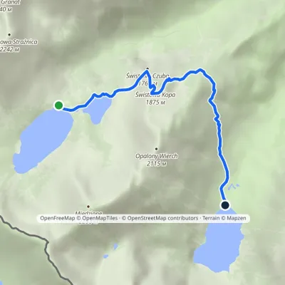 EasyOne-dayMarkedHut in the Valley of Five Lakes Hut at Morskie OkoElevation profile1 398–1 853 m4.6 kmascent 177 m≈ 1.5 h walking1.2 km from Kozi Wierch
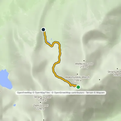 EasyOne-dayMarkedZadni Upłaz KrzyżneElevation profile1 617–2 107 m2.8 km≈ 45 min walking1.6 km from Kozi Wierch
Nearby attractions
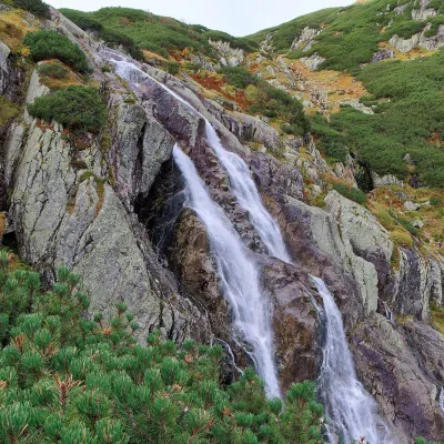 WaterfallWielka Siklawa Waterfall1.2 km from Kozi WierchWielka Siklawa (also simply Siklawa) is Poland's highest waterfall. The Roztoka stream, flowing out of Wielki Staw Polski, drops here over the rock step between the...
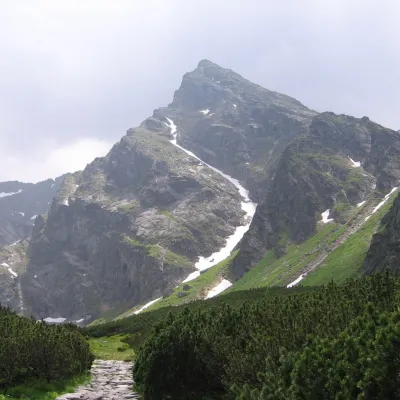 PeakKościelecaltitude 2 155 m1.3 km from Kozi WierchKościelec is a 2,155 m peak in the High Tatras, in Poland's Dolina Gąsienicowa. It stands on the side ridge of the Kościelce, which runs north from Zawratowa Turnia...
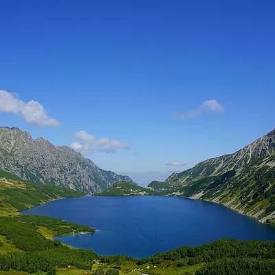 LakeWielki Staw Polski1.3 km from Kozi WierchWielki Staw Polski (the Great Polish Lake) lies in the High Tatras, in the Valley of the Five Polish Lakes, at 1,665 m, below the slopes of the Miedziane ridge.
Craft nearby
All craft places Cheese dairies & pasturesShepherd's Hut on Rusinowa Polana6.7 km from Kozi WierchRusinowa Polana is one of the most beautiful mountain glades in the Polish Tatras, and from May to October it is home to the bacówka (shepherd's hut) of baca Stanisław...
 Cheese dairies & pasturesFurtek's Shepherd's Huts, Kuźnice and Kalatówki7.1 km from Kozi WierchAbove Kuźnice — the southern edge of Zakopane where most hikes into the Western and High Tatras begin — the flocks are tended by baca Andrzej Staszel, nicknamed "Furtek".
 Koliby & Hutsul cuisineBąkowo Zohylina Wyźnio Highland Tavern8.8 km from Kozi WierchBąkowo Zohylina Wyźnio is a regional highland tavern in Zakopane housed in a wooden "szałas" (shepherd-hut-style building) with a view of the Tatras.
 Water parks & thermal poolsTermy Zakopiańskie (Aqua Park Zakopane)9.7 km from Kozi WierchTermy Zakopiańskie is a thermal water park right in Zakopane, on Jagiellońska Street, only a kilometre from Krupówki.
 Markets & fairsMarket under Gubałówka11 km from Kozi WierchThe market under Gubałówka (Targ pod Gubałówką) is Zakopane's best-known bazaar and probably the most photographed row of stalls in the Polish Tatras.
 Craft beer & breweriesGwarno Restaurant & Brewery, Zakopane11 km from Kozi WierchGwarno is a restaurant with its own small brewery at the foot of Gubałówka in Zakopane. It stands on Na Gubałówkę street right next to the lower station of the...
