Dzembronia village — to Vorokhta, via Mount Smotrych, Mount Pip Ivan Chornohirskyi, Mount Shpytsi to the road
Unmarked trailmore
It may be partly marked. Unmarked trails have no information boards, signposts or auxiliary signs (water, campsite, etc.). The decision to walk the trail is entirely your own responsibility.
Trail map
Where to stay nearby
About the trail
Route Dzembronia village, via Mount Smotrych, Mount Pip Ivan Chornohirskyi and Mount Shpytsi to the road to Vorokhta. Along the route you will see: Mount Smotrych, Mount Pip Ivan of Chornohora (Pip Ivan, Black Mountain), The White Elephant Observatory on Mount Pip Ivan Chornohirsky, Mount Dzembronya, Mount Menchul, Mount Brebeneskul and 6 more.
At a glance
A multi-day route of 46 km with 2,745 m of ascent from Dzembronia village to Vorokhta. Estimated time: 2 days of 6–11 h of walking (about 16 h in total, not counting stops). Difficulty: hard. Waymarking is missing or partial.
Route stages
- 0–4 kmGentle ups and downs at 720–840 m
- 4–9 kmClimb of 1,040 m to Mount Smotrych (1,898 m)
- 9–21 kmAlong the ridge at 1,780–2,000 m, past Mount Pip Ivan of Chornohora, Mount Dzembronya, Mount Menchul, Mount Brebeneskul
- 21–46 kmDescent of 1,160 m to Vorokhta
Steepest kilometre: km 7–8, a climb of 350 m (≈34%), near Cabin “The Dairy”.
Water and overnight stays
Springs near the trail: at km 0, 6, 11, 12, 16, 20, 22, 27, 32 and 38 etc.. Some springs run low or dry up in late summer.
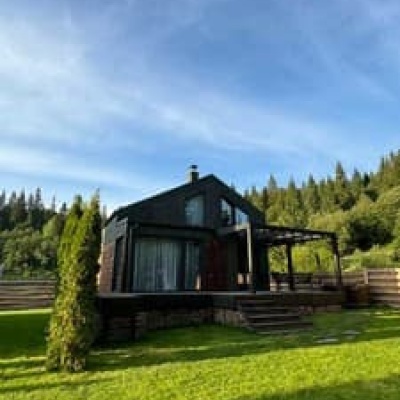
Huts and shelters near the trail: Cabin “The Dairy” (km 6), Mountain shelter “White Elephant” (km 14). Places to stay near the start: Verkhovyna; near the finish: Vorokhta.
A possible split into days:
- Day 1: km 0–14, ≈6 h — overnight: Mountain shelter “White Elephant” (hut)
- Day 2: km 14–46, ≈10 h — finish
When to go
Best time: June to September. In winter only for experienced hikers with proper gear: avalanche danger is possible. About 24 km of the route runs above 1,500 m, where the weather changes quickly — check the forecast.
Getting there
Start: Dzembronia village. Most places to stay near the start are in Verkhovyna. This is a one-way route: the finish is 17 km from the start in a straight line, so plan your way back in advance.
FAQ
- How long does the route take?
- Estimated time: 2 days of 6–11 h of walking (about 16 h in total, not counting stops).
- Is there water on the route?
- Springs near the trail: at km 0, 6, 11, 12, 16, 20, 22, 27, 32 and 38 etc.. Some springs run low or dry up in late summer.
- Where can I stay overnight?
- Huts and shelters near the trail: Cabin “The Dairy” (km 6), Mountain shelter “White Elephant” (km 14). Places to stay near the start: Verkhovyna; near the finish: Vorokhta. Possible overnight stops: Mountain shelter “White Elephant” (km 14).
Water and shelter on the route
- Spring (Topilche, 3)km 0 from the start · 50 m off the path · Not verified · 723 m
- Cabin “The Dairy”km 6.3 from the start · Standing · 1 209 m
- Spring below Mount Smotrych (3)km 6.3 from the start · 60 m off the path · Not verified · 1 260 m
- Spring below Mount Smotrych (2)km 6.8 from the start · 250 m off the path · Not verified · 1 276 m
- Spring below Mount Vukhatyi Kamin (8)km 10.4 from the start · Not verified · 1 780 m
- Spring below Mount Vukhatyi Kamin (4)km 10.8 from the start · 210 m off the path · Not verified · 1 717 m
- Spring below Mount Pip Ivan Chornohirskyi (7)km 11.9 from the start · 180 m off the path · Not verified · 1 796 m
- Mountain shelter “White Elephant”km 13.4 from the start · Not verified · 2 003 m
- Spring below Mount Vukhatyi Kaminkm 15.4 from the start · Not verified · 1 809 m
- Spring below Mount Menchulkm 19.5 from the start · 130 m off the path · Weak flow · 1 905 m
- Spring below Mount Brebeneskul (2)km 19.9 from the start · 260 m off the path · Not verified · 1 908 m
- Spring below Mount Hutyn Tomnatyk (4)km 21.9 from the start · Not verified · 1 797 m
- Spring below Mount Hutyn Tomnatyk (3)km 22.3 from the start · Not verified · 1 881 m
- Spring on Polonyna Hadzhynakm 26.6 from the start · 50 m off the path · Not verified · 1 646 m
- Spring below Mount Homul (2)km 31.3 from the start · Not verified · 1 387 m
- Drinking water (Kryvopillia)km 36.9 from the start · 130 m off the path · Not verified · 978 m
- Spring (Kryvopillia)km 38.4 from the start · Not verified · 948 m
- Spring (Kryvopillia, 2)km 38.8 from the start · Not verified · 933 m
Comments
What to see on the trail
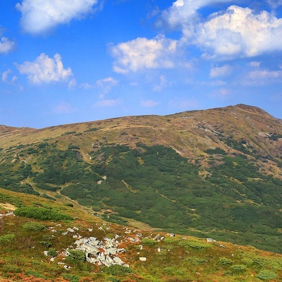 Mount Smotrychaltitude 1 898 mMount Smotrych (also known as Smotrets) is an 1898-meter peak of the Ukrainian Carpathians.
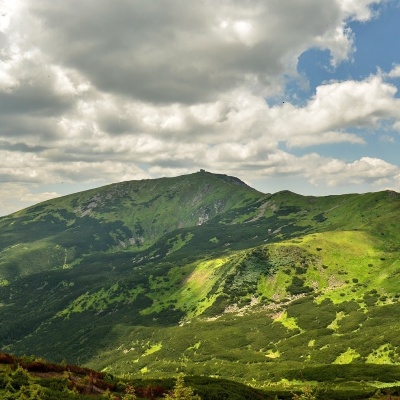 Mount Pip Ivan of Chornohora (Pip Ivan, Black Mountain)altitude 2 028 mPip Ivan Chornohirsky (also known as "Pip Ivan" and "Black Mountain") is the third highest mountain (2028 m) after Hoverla (2061 m) and Brebeneskul...
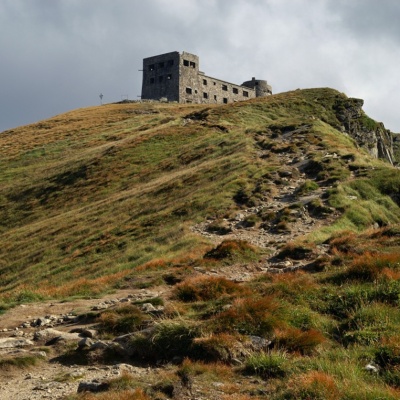 The White Elephant Observatory on Mount Pip Ivan Chornohirskyaltitude 2 028 mThe construction of the White Elephant Observatory on Mount Pip-Ivan Chornohirsky(the route along the Chornohirsky ridge starts from this two...
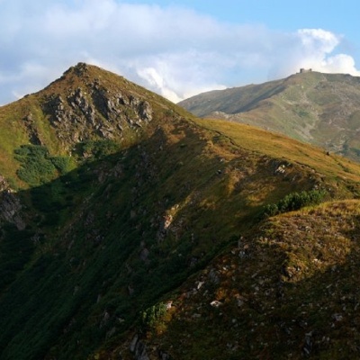 Mount Dzembronyaaltitude 1 877 mMount Dzembronia, with a height of 1877 meters, is one of the most famous peaks of the Ukrainian Carpathians, located in the Carpathian National...
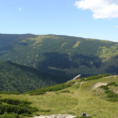 Mount Menchulaltitude 1 998 mMenchul (also known as Munchel, which comes from the Romanian "munteul" meaning "mountain"), with a height of 1998 meters, is the seventh largest...
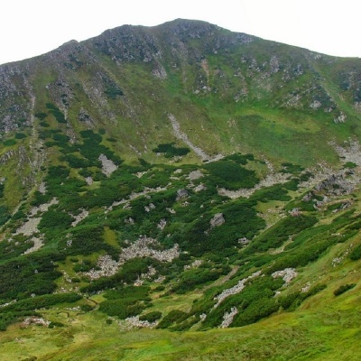 Mount Brebeneskulaltitude 2 035 mMount Brebeneskul is the second highest peak in the Ukrainian Carpathians after Hoverla (2061 m), located in the middle of the Chornohora ridge on...
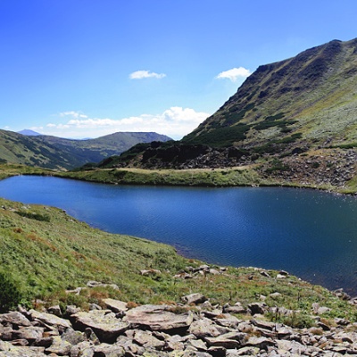 Lake Brebeneskulaltitude 1 801 mBrebeneskul is the highest mountain lake in the Ukrainian Carpathians (1801 m above sea level), a hydrological natural monument of local importance...
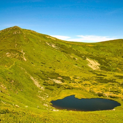 Mount Gutin Tomnatikaltitude 2 016 mHutyn Tomnatyk is one of the highest and most beautiful peaks of the Ukrainian Carpathians.
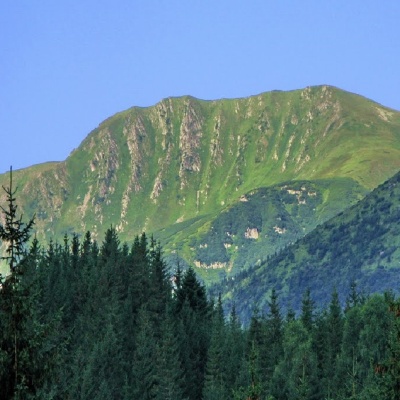 Mount Rebraaltitude 2 001 mMount Rebra, with a height of 2001 meters, is located in the central part of the Chornohora ridge.
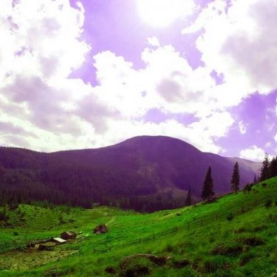 Polonyna Gadzhinaaltitude 771 mIt seemed that the Chornohora massif was literally crowded with people, but sometimes you can come across places that either locals or tourists who...
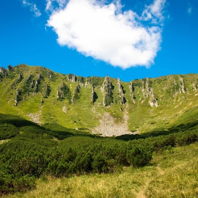 Mount Shpytsialtitude 1 863 mShpytsi is a mountain of the Ukrainian Carpathians, 1863 m high, which lies on the territory of Verkhovyna district of Ivano-Frankivsk region.
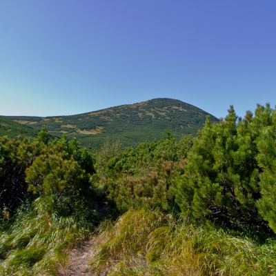 Mount Gomulaltitude 1 788 mGomul (also known by another name - Khomul) is a 1788-meter peak in the Ukrainian Carpathians, which is located in the Carpathian National Nature...
Trails nearby
All trails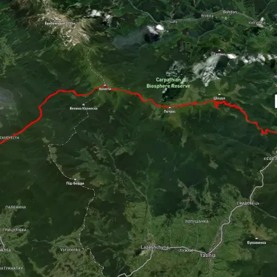 HardMulti-dayUnmarkedVorokhta to Kvasy villagevia Zaroslyak base, Mount Hoverla +1Elevation profile529–2 045 m40.8 kmascent 2 053 m
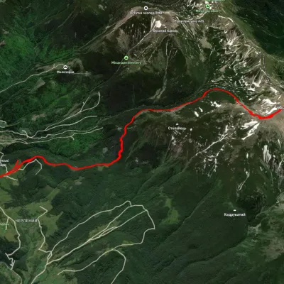 HardTwo-dayUnmarkedDzembronia village loopvia Mount Brebeneskul, Mount MenchulElevation profile1 000–2 024 m24 kmascent 1 557 m≈ 9 h walking
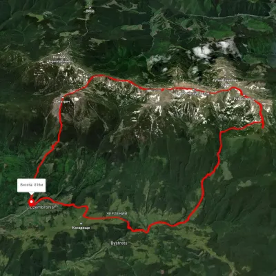 HardMulti-dayUnmarkedDzembronia village loopvia Mount Smotrych, Mount Dzembronia +2Elevation profile815–2 020 m32.5 kmascent 1 888 m≈ 12 h walking