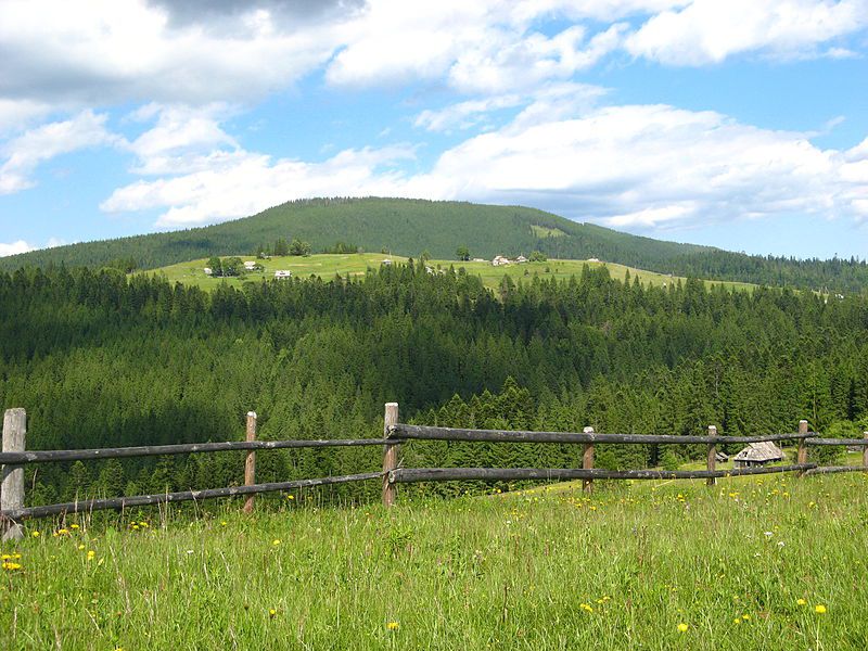
Mount Magura, Tatariv
Magura is a mountain in the Ukrainian Carpathians, in the Gorgany massif. It is located within the Yaremche City Council of Ivano-Frankivsk Oblast, between the villages of Tatariv, Yablunytsia, and Vorokhta.
The height is 1288 meters. It has the shape of a ridge stretching from southeast to northwest. The northeastern slopes are very steep. The peak is almost completely forested, with meadows in some places.
The mountain is located within the Carpathian National Nature Park.
The nearest settlement is the village of Tatariv.
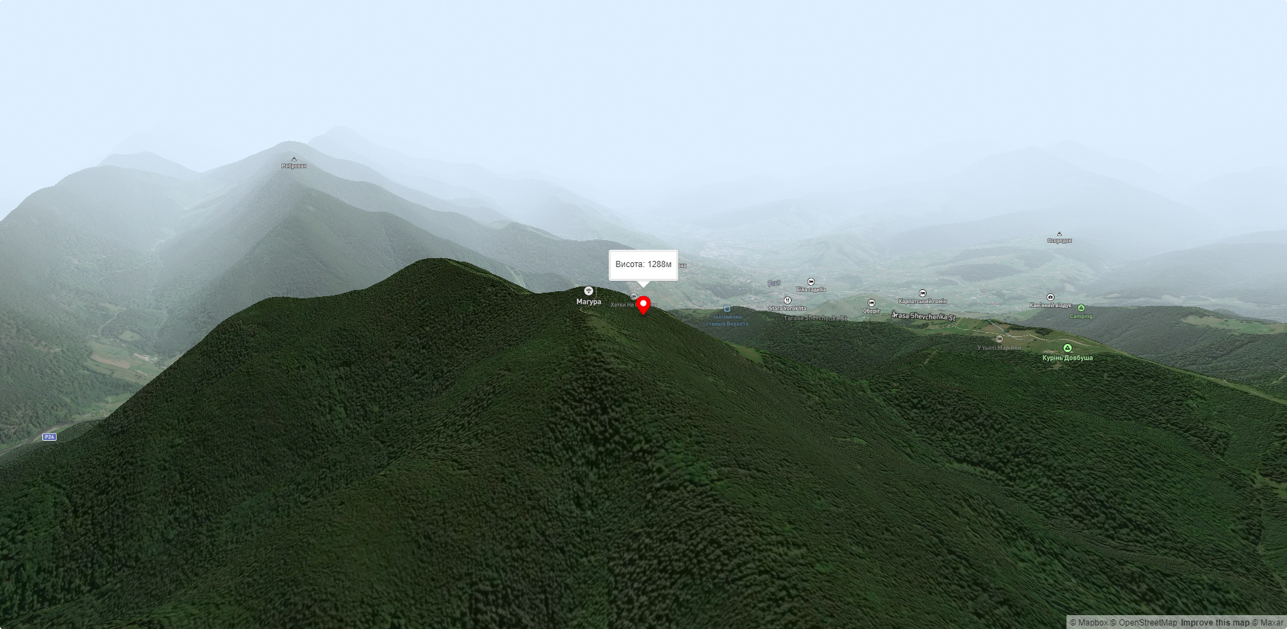
Accommodation around Mount Magura, Tatariv:


Nearby hiking trails near Mount Magura, Tatariv:
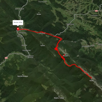
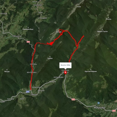
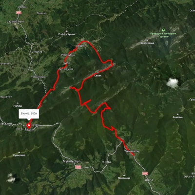
Which trails pass by Mount Magura, Tatariv?
We suggest these hiking trails through or near Mount Magura, Tatariv: Tatariv village, via Mount Khomiak and Mount Syniak to Tatariv village, Tatariv village, via Mount Khomiak and Zhenetskyi Huk Waterfall to Zhenets tract (Mykulychyn village), Yaremche, via the Yavirnyk ridge, Zhenetskyi Huk Waterfall, Mount Khomiak, Mount Syniak, Mount Malyi Horhan and Polianytsia village to Tatariv village, Tatariv village, via Mount Khomiak and Mount Syniak to Tatariv village, Tatariv village, via Mount Khomiak, Mount Syniak and Huk Zhenetskyi Waterfall to Mykulychyn village, Voronenko village, via Mount Kukul to Vorokhta