Dniester
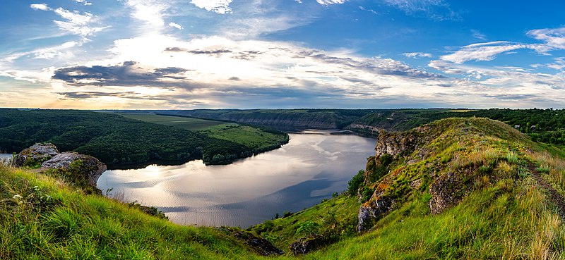
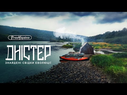
The Dniester is one of the most famous and largest rivers in Ukraine. The Dniester has been used as an important waterway for the transportation of goods, and its waters are also actively used for agriculture, in particular for irrigation. There are several hydroelectric power plants on the river that produce energy, The Dniester HPP is the largest plant on the river, which ensures the stability of the energy grid for the region. However, the river suffers from water pollution, illegal logging on its banks, and urbanization. The Dniester is also a popular place for outdoor activities: rafting, kayaking, and fishing. The Dniester Canyon is very popular among tourists because of its beautiful scenery and camping opportunities. The river serves as the border line between Ukraine and Moldova for a considerable length, and it also has cultural significance for both countries. The river is an important waterway for the transportation of goods, including construction materials, timber, food, etc.
- The length of the river is 1,350 km.
- Basin area - 68,627 km²
- Countries - Ukraine, Moldova
- Mouth - the Black Sea
- Source - Carpathian Mountains
Accommodation around Dniester:


Nearby hiking trails near Dniester:
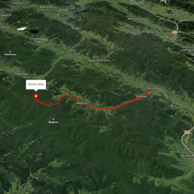
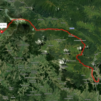
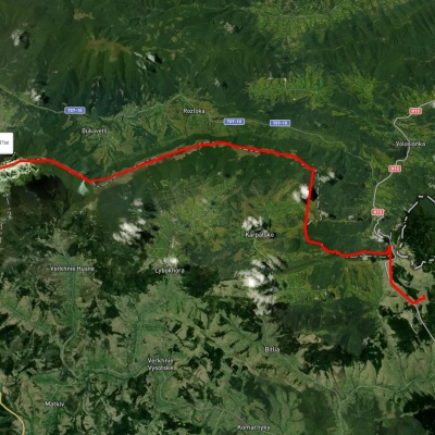
Which trails pass by Dniester?
We suggest these hiking trails through or near Dniester: Nedilna – Tower of Memory, Sianky village, via the Verkhovyna Watershed ridge and Mount Pikui to Bilasovytsia village, Sianky village, via Mount Starostyna and Mount Velykyi Verkh to Mount Pikui, Sianky village, via Mount Drohobytskyi Kamin, the Ruska Put Pass and Mount Pikui to Bilasovytsia village, Sianky village, via Mount Starostyna, Mount Velykyi Verkh and Mount Pikui to Bilasovytsia village, Sianky village, via Mount Starostyna, Mount Pikui, Shcherbovets village, Mount Ostra Hora and Runa polonyna to Turychky village