Majdan – Sedlo Priehyby
Trail map
Route, springs and shelters: © OpenStreetMap contributors (ODbL) · elevation: Copernicus DEM © DLR e.V., © Airbus DS · Data & licences
About the trail
Route Majdan – Sedlo Priehyby. Has green marking (regional route №5711a, KST). Waymarking data: OpenStreetMap (© OpenStreetMap contributors, ODbL).
Officially marked regional tourist route No. 5711a. The marking is green, the sign is a horizontal stripe on a white background. Marked and maintained by: KST. Length of the route — 6 km. Location: mountain range — Nizky Beskid, Slovakia.
At a glance
A short route of 6 km with 9 m of ascent and 308 m of descent from Majdan to Sedlo Priehyby. Estimated walking time: about 1.5 h, not counting stops. Difficulty: easy. Waymarking: green.
Route stages
- 0–6 kmDescent of 300 m to Sedlo Priehyby
Steepest kilometre: km 1.5–2.5, a descent of 80 m (≈8%).
Water and overnight stays
A spring near the trail: at km 3.
When to go
The route can be walked most of the year; it is most comfortable from April to October.
Getting there
Start: Majdan. This is a one-way route: the finish is 3 km from the start in a straight line, so plan your way back in advance.
FAQ
- How long does the route take?
- Estimated walking time: about 1.5 h, not counting stops.
- Is there water on the route?
- A spring near the trail: at km 3.
Water and shelter on the route
- Pápežova studnička Springkm 2.9 from the start · Not verified · 684 m
Comments
Trails nearby
All trails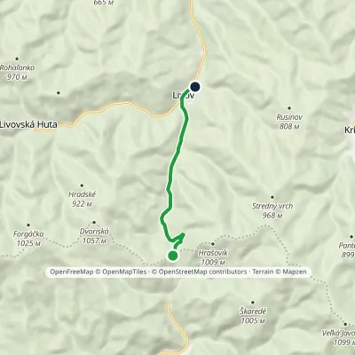 EasyOne-dayMarkedSedlo Priehyby Livov, junctionElevation profile507–820 m5.5 km≈ 1.5 h walking
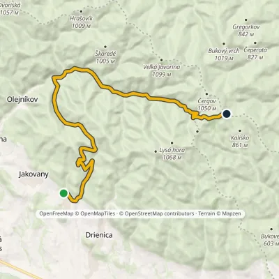 ModerateTwo-dayMarkedSedlo Čergov, huts Červená vodaElevation profile520–945 m18.6 kmascent 721 m≈ 6 h walking
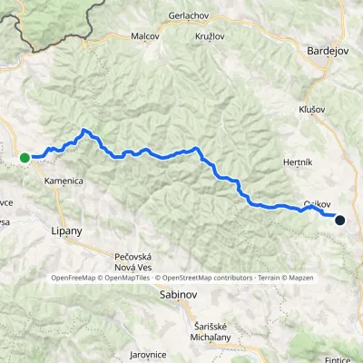 HardMulti-dayMarkedPusté Pole VaniškovceElevation profile323–1 153 m36.1 kmascent 1 113 m≈ 11.5 h walking
Craft nearby
All craft places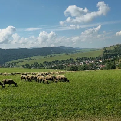 Cheese dairies & pasturesFarma Kamenica — Family Sheep Farm and Cheese Dairy in ŠarišKamenica9.7 km from the trailKamenica is a village in northern Šariš, in the valley of the Kameničanka stream, at about 483 m above sea level.
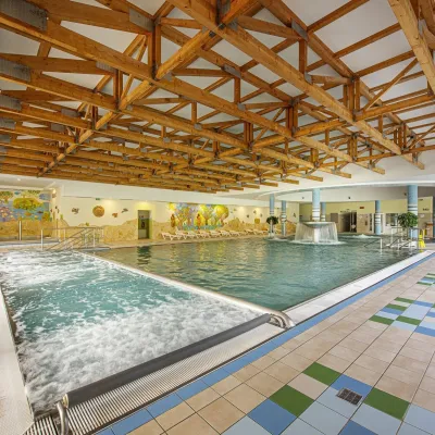 Water parks & thermal poolsBardejovské Kúpele: Wellness Spa Ozón and summer poolBardejov19 km from the trailBardejovské Kúpele is one of Slovakia’s oldest spas, a part of the town of Bardejov about 5 km from its centre, in a valley under the Magura massif that shelters it...
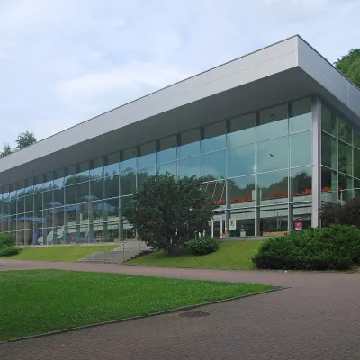 Water parks & thermal poolsKrynica-Zdrój pump rooms: tasting the mineral watersKrynica-Zdrój24 km from the trailKrynica-Zdrój grew up around its mineral springs, and the best way to feel the spa is to walk round its pump rooms and taste the local waters.
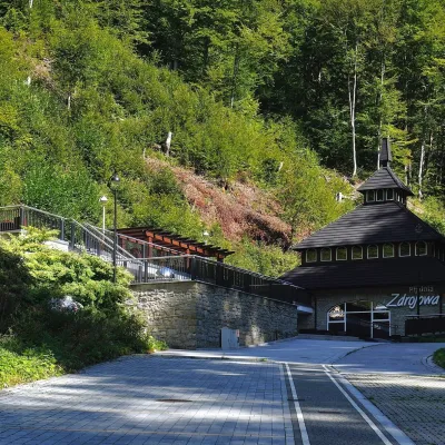 Water parks & thermal poolsŻegiestów-Zdrój spa: the Anna pump room and the Spa HouseŻegiestów26 km from the trailŻegiestów-Zdrój is a small spa in the narrow Poprad valley in the Beskid Sądecki, a kilometre and a half from the village of Żegiestów and a few kilometres from Muszyna.
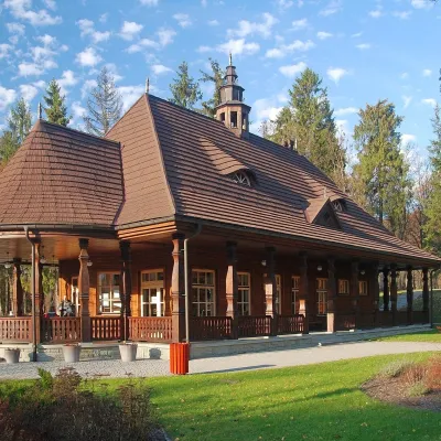 Water parks & thermal poolsWysowa-Zdrój spa: pump room, Franciszek and Henryk watersWysowa-Zdrój26 km from the trailWysowa-Zdrój is a quiet spa at the source of the Ropa river in the Beskid Niski, at 500–550 m, 20 km from Krynica-Zdrój and 25 km from Bardejovské Kúpele in Slovakia.
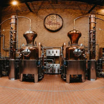 Craft producersSpišská Pálenica, Stará Ľubovňa: distillery tour and Spiš borovičkaStará Ľubovňa30 km from the trailSpiš boasts perhaps the oldest history of distilling in Europe: at the hillfort of Myšia Hôrka near Spišský Štvrtok, part of a distillation vessel from around 1500 BC...
