Lenartov
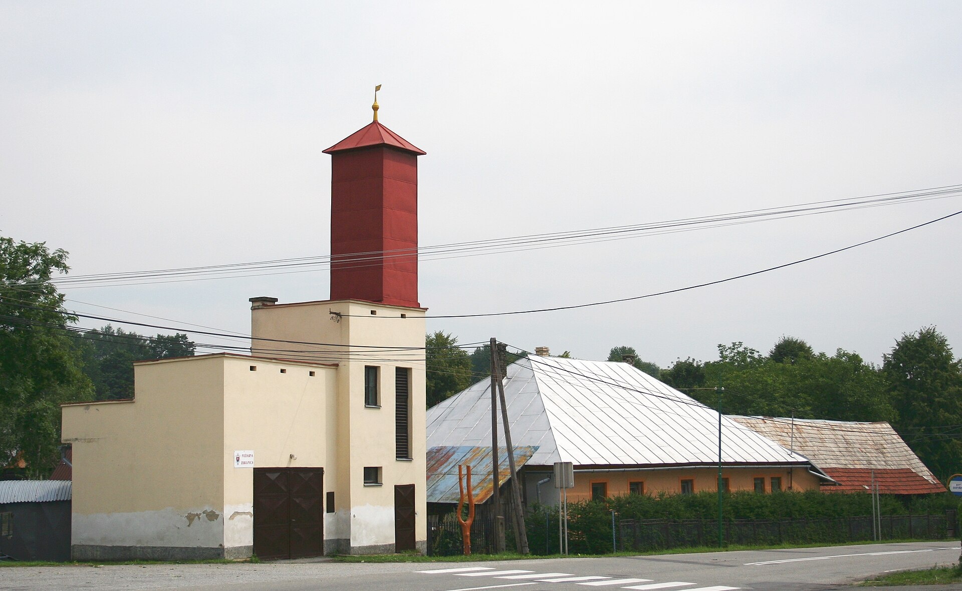
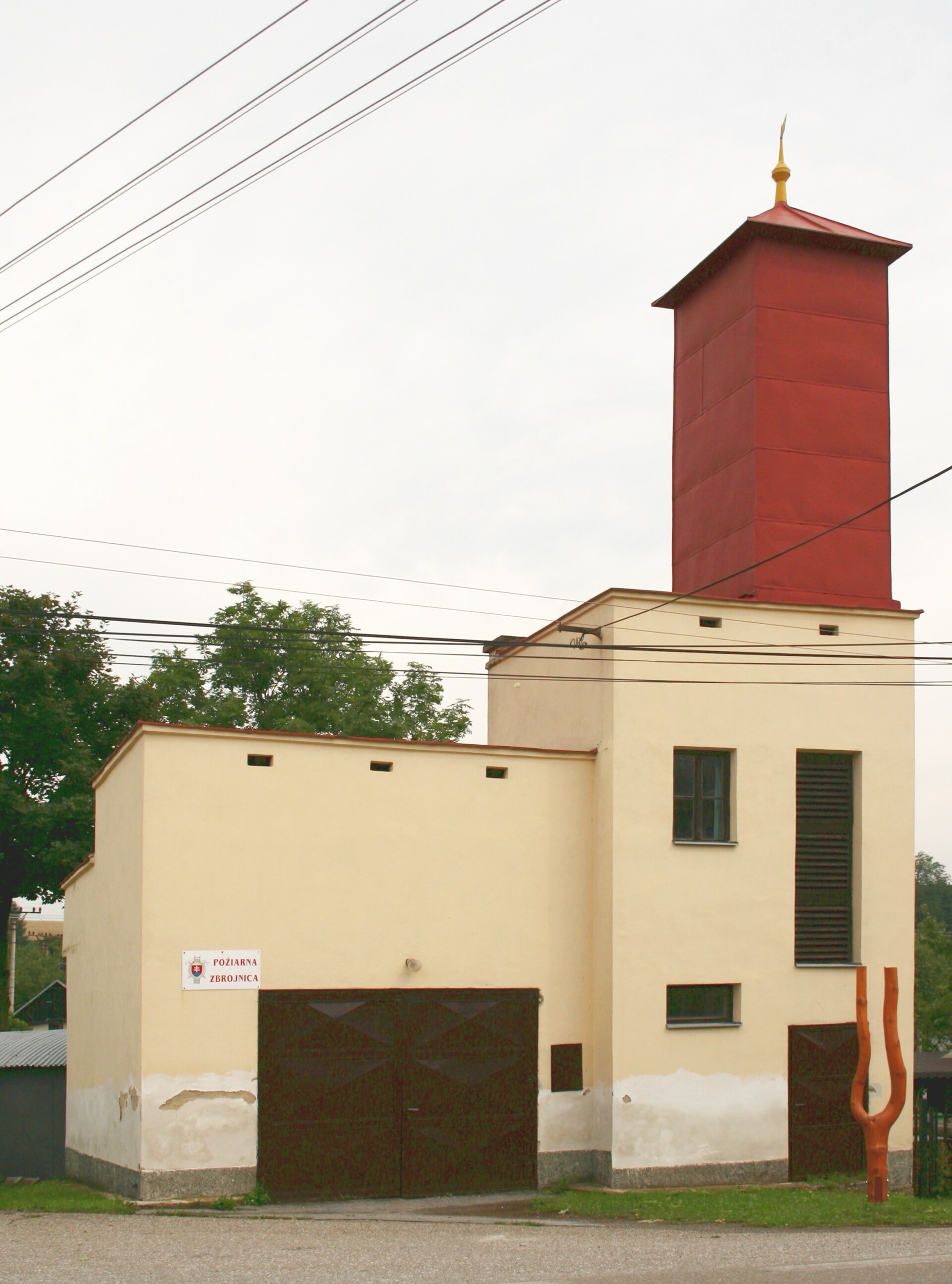
Photos: Przykuta (talk), CC BY-SA 4.0 (Wikimedia Commons); Unknown authorUnknown author, Public domain (Wikimedia Commons); Przykuta (talk), CC BY-SA 4.0 (Wikimedia Commons)
Lenartov is a village in Slovakia.
Elevation: about 468 m above sea level. Population: 1,261 (2025). Mountains nearby: Low Beskids.
Here and nearby on the site: 2 trails.
Facts: Wikidata, OpenStreetMap. More on Wikipedia
Trails nearby
All trails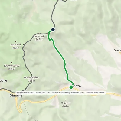 EasyOne-dayMarkedLenartov BarwinekElevation profile472–782 m3.6 kmascent 308 m≈ 1.5 h walkingunder 1 km from the centre
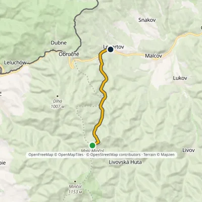 EasyOne-dayMarkedLenartov Malý MinčolElevation profile475–1 054 m7.6 km≈ 2 h walkingunder 1 km from the centre
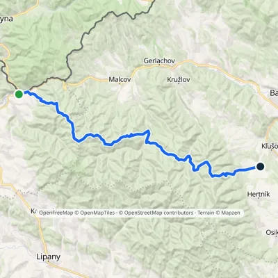 HardMulti-dayMarkedLeluchów ŠibaElevation profile378–1 054 m34.2 kmascent 1 373 m≈ 11.5 h walking4.2 km from the centre
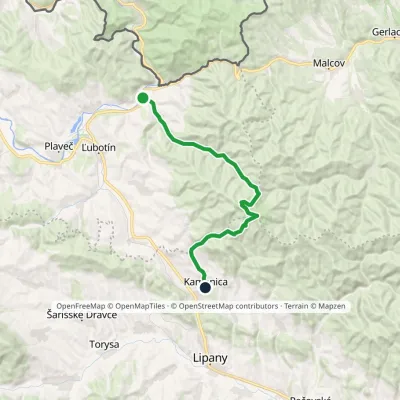 ModerateTwo-dayMarkedČirč junction Kamenica, junctionElevation profile477–1 153 m19.7 kmascent 676 m≈ 6.5 h walking6.5 km from the centre
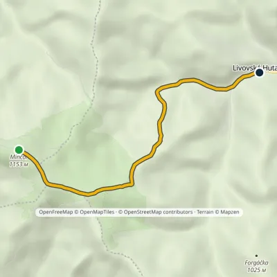 EasyOne-dayMarkedLivovská Huta MinčolElevation profile651–1 153 m4.8 km≈ 1 h walking7.4 km from the centre
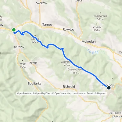 ModerateOne-dayMarkedKružlov MiháľovElevation profile343–608 m10.9 kmascent 309 m≈ 3.5 h walking7.8 km from the centre
Peaks nearby
All peaks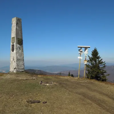 PeakMinčol (Čergov)Kyjovaltitude 1 157 m8.7 km from the centreMinčol (Hungarian Mincsol) is the highest summit of the Čergov mountains in eastern Slovakia, 1157 m high.
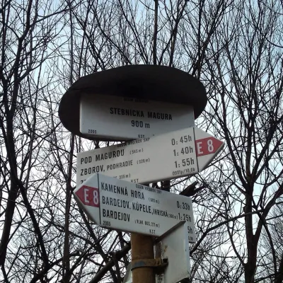 PeakStebnícka MaguraStebníkaltitude 900 m · Volcanic Carpathians range17 km from the centreStebnícka Magura is an 899.9 m summit in the Slovak part of the Low Beskid, in the Busov range. It rises above the village of Stebník about 6 km north of Bardejov and,...
What to visit
All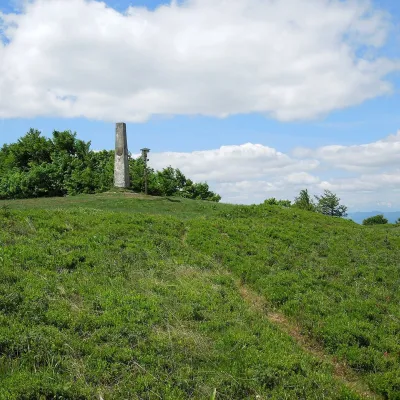 Mountain meadowThe meadow of Čergov's Minčol, the highest peak of the Čergov mountainsKyjovaltitude 1 157 m8.7 km from the centreČergov's Minčol (Minčol, 1,157 m) is the highest summit of the Čergov mountains in eastern Slovakia, where the districts of Bardejov, Sabinov and Stará Ľubovňa of the...
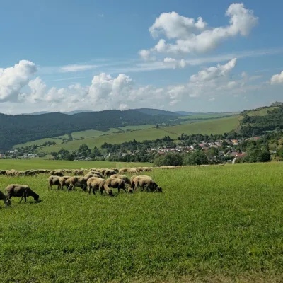 Cheese dairies & pasturesFarma Kamenica — Family Sheep Farm and Cheese Dairy in ŠarišKamenica13 km from the centreKamenica is a village in northern Šariš, in the valley of the Kameničanka stream, at about 483 m above sea level.
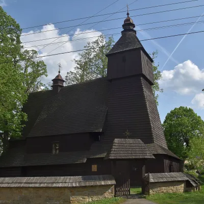 ChurchWooden Church of St Francis of Assisi, HervartovHervartov15 km from the centreIn the middle of the village, on a small rise, stands the Roman Catholic wooden Church of St Francis of Assisi, built at the end of the 15th century in the Gothic...
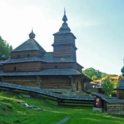 MuseumBardejovské Kúpele Open-Air Museum of Folk ArchitectureBardejov18 km from the centreThe Museum of Folk Architecture in the spa resort of Bardejovské Kúpele opened to visitors in 1965 — the first open-air museum in Slovakia.
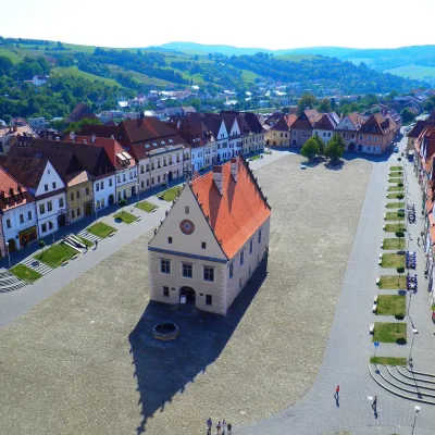 Historic siteBardejov: historic town centre and St Giles’ BasilicaBardejov18 km from the centreBardejov lies in north-eastern Slovakia, in the Šariš region, on the river Topľa not far from the Polish border.
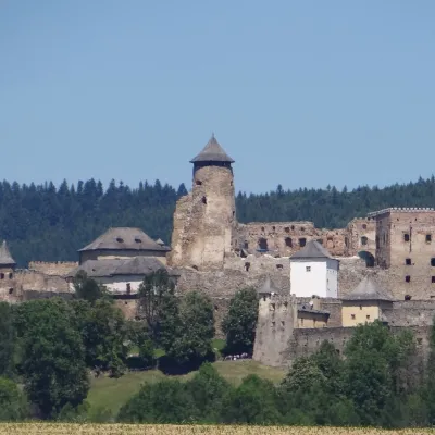 CastleĽubovňa CastleStará Ľubovňa23 km from the centreĽubovňa Castle (Ľubovniansky hrad) stands on a 548 m limestone hill above the town of Stará Ľubovňa and the left bank of the Poprad.
Craft nearby
All craft places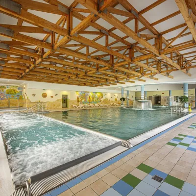 Water parks & thermal poolsBardejovské Kúpele: Wellness Spa Ozón and summer poolBardejov18 km from the centreBardejovské Kúpele is one of Slovakia’s oldest spas, a part of the town of Bardejov about 5 km from its centre, in a valley under the Magura massif that shelters it...
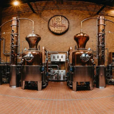 Craft producersSpišská Pálenica, Stará Ľubovňa: distillery tour and Spiš borovičkaStará Ľubovňa24 km from the centreSpiš boasts perhaps the oldest history of distilling in Europe: at the hillfort of Myšia Hôrka near Spišský Štvrtok, part of a distillation vessel from around 1500 BC...
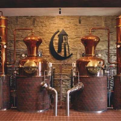 Craft producersCastle Distillery below Ľubovňa Castle: fruit spirits and tastingsStará Ľubovňa24 km from the centreStará Ľubovňa is a town in northern Spiš, overlooked by Ľubovňa Castle. For more than three and a half centuries Ľubovňa was one of the Spiš towns pledged to the...
Spas and thermal pools nearby
Huts, shelters and springs nearby
Getting there from Ukraine
Border crossings
- Uzhhorod – Vyšné Nemecké — road, 24/7
- Malyi Bereznyi – Ubľa — road, 24/7 For cars and buses; pedestrians not confirmed by the Ukrainian border service, lorries up to 3.5 t.
- Mali Selmentsi – Veľké Slemence (pedestrian) — pedestrian, 09:00–21:00 Kyiv time Pedestrians and cyclists only; inconvenient for the Tatras without onward transport.
- Chop – Čierna nad Tisou (rail) — rail, 24/7
By car
From Uzhhorod ≈138 km, ≈2 h 30 min without queues: Uzhhorod – Vyšné Nemecké → I/19 to Michalovce → I/18 via Vranov nad Topľou towards Prešov → I/545 to Bardejov (≈133 km, ≈2 h 20 min from the border). From Lviv it is faster through Poland: M-10 → Krakovets – Korczowa → A4 to Dębica → DK73 to Jasło → DK28 to Gorlice → DW977 over the internal Schengen crossing Konieczna – Becherov → I/545 to Bardejov: ≈329 km, ≈5 h 10 min (≈251 km, ≈3 h 40 min from the border). Via the Uzhok Pass and Ubľa ≈345 km, ≈6 h 20 min.
Checked 23.10.2026; border crossing hours and timetables change — check before you travel.
