Jelenec
Jelenec is a village in Slovakia.
Elevation: about 192 m above sea level. Population: 2,096 (2025).
Here and nearby on the site: 2 trails.
Facts: Wikidata, OpenStreetMap. More on Wikipedia
Comments
Travellers’ experience: reports, tips, questions.
No one has written here yet. Be the first — your experience helps others.
What's nearby
Trails nearby
All trails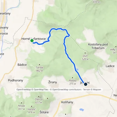 ModerateOne-dayMarkedHorné Lefantovce JelenecElevation profile182–406 m13.2 kmascent 247 m≈ 3.5 h walkingunder 1 km from the centre
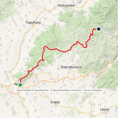 HardMulti-dayMarkedPonitrianska magistrála: Nitra Veľké PoleElevation profile143–843 m69.1 kmascent 2 361 m2.2 km from the centre
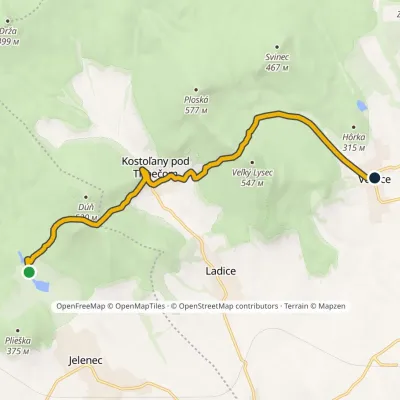 ModerateOne-dayMarkedRemitáž VeľčiceElevation profile226–471 m10.4 kmascent 431 m≈ 3.5 h walking2.3 km from the centre
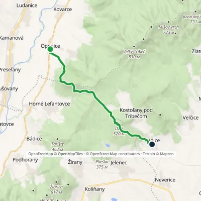 ModerateOne-dayMarkedOponice Ladice, stopElevation profile168–505 m14.7 kmascent 546 m≈ 4.5 h walking2.7 km from the centre
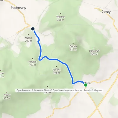 EasyOne-dayMarkedPodhorany, viaduct ŠtitáreElevation profile197–415 m4.8 kmascent 175 m≈ 1.5 h walking5.7 km from the centre
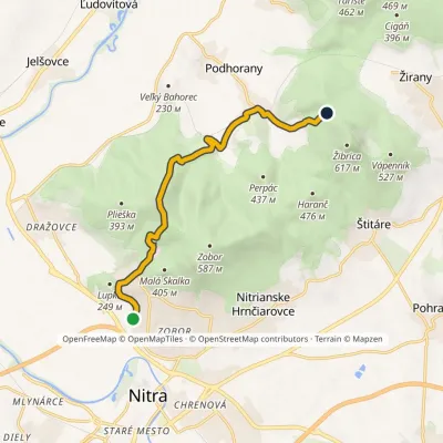 ModerateOne-dayMarkedNitra, Šindolka Under the Long RockElevation profile166–448 m9.9 kmascent 479 m≈ 3.5 h walking5.7 km from the centre
Peaks nearby
All peaks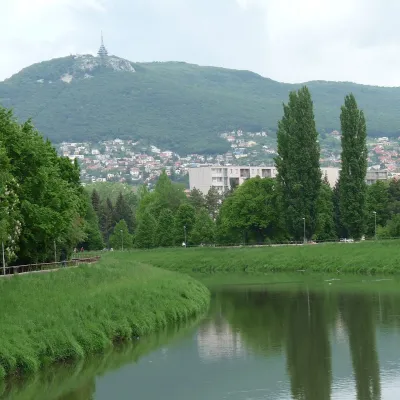 PeakZoborNitrianske Hrnčiarovcealtitude 587 m9.2 km from the centreZobor is a 587 m hill rising directly above the city of Nitra in western Slovakia. It is the summit of the southernmost part of the Tribeč Mountains — the Zobor group,...
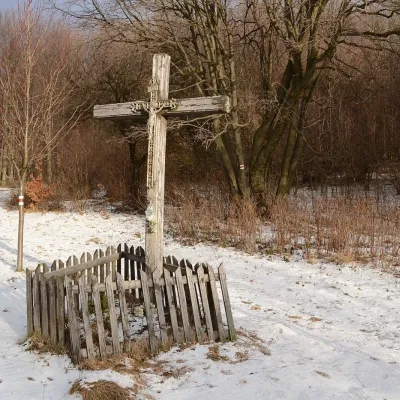 PeakVeľký InovecTekovské Nemcealtitude 900 m24 km from the centreVeľký Inovec is the highest summit of the Pohronský Inovec mountains in Slovakia, at 900 m. It lies in the central part of the range, on the main ridge, in the Nitra...
Huts, shelters and springs nearby
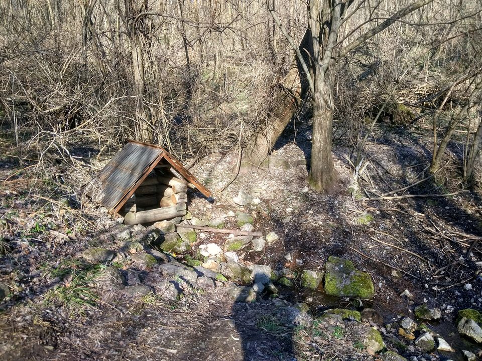
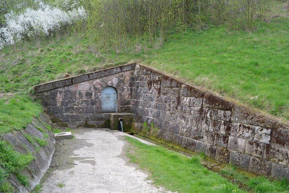 194 mDrinking waterDrinking water below Hôrka (north slope)Strážov Mountains · SlovakiaNot verified70 m from a trail
Getting there from Ukraine
Border crossings
- Uzhhorod – Vyšné Nemecké — road, 24/7
- Malyi Bereznyi – Ubľa — road, 24/7 For cars and buses; pedestrians not confirmed by the Ukrainian border service, lorries up to 3.5 t.
- Mali Selmentsi – Veľké Slemence (pedestrian) — pedestrian, 09:00–21:00 Kyiv time Pedestrians and cyclists only; inconvenient for the Tatras without onward transport.
- Chop – Čierna nad Tisou (rail) — rail, 24/7
By car
From Uzhhorod to Žilina ≈330 km, ≈4 h 20 min without queues: Uzhhorod – Vyšné Nemecké → I/19 to Košice → D1 via Prešov, Poprad, Liptovský Mikuláš and Ružomberok (≈17 km on I/18 between D1 sections) → Žilina. To Terchová ≈314 km, ≈4 h 15 min: from the D1 onto I/70 and II/583. From Lviv through Poland: M-10 → Krakovets – Korczowa → A4 to Kraków → S7/DK7 to Chyżne – Trstená → R3, I/59 to Dolný Kubín → II/583 via Terchová to Žilina: to Terchová ≈493 km (≈6 h 30 min), to Žilina ≈518 km (≈7 h). Via the tolled A4 Kraków – Katowice, S1 and D3: ≈533 km, ≈6 h 35 min. The D1 requires an e-vignette (eznamka.sk).
Checked 23.10.2026; border crossing hours and timetables change — check before you travel.
