Ďurková
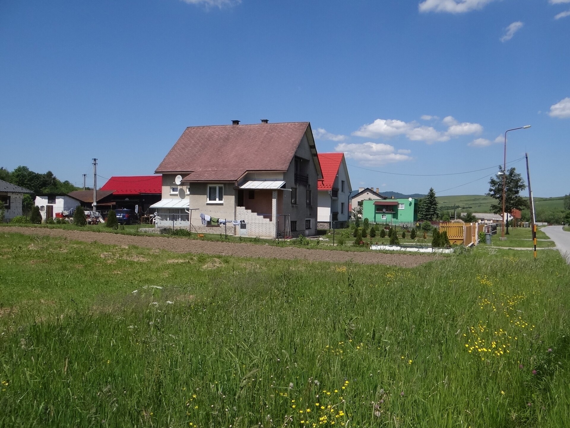
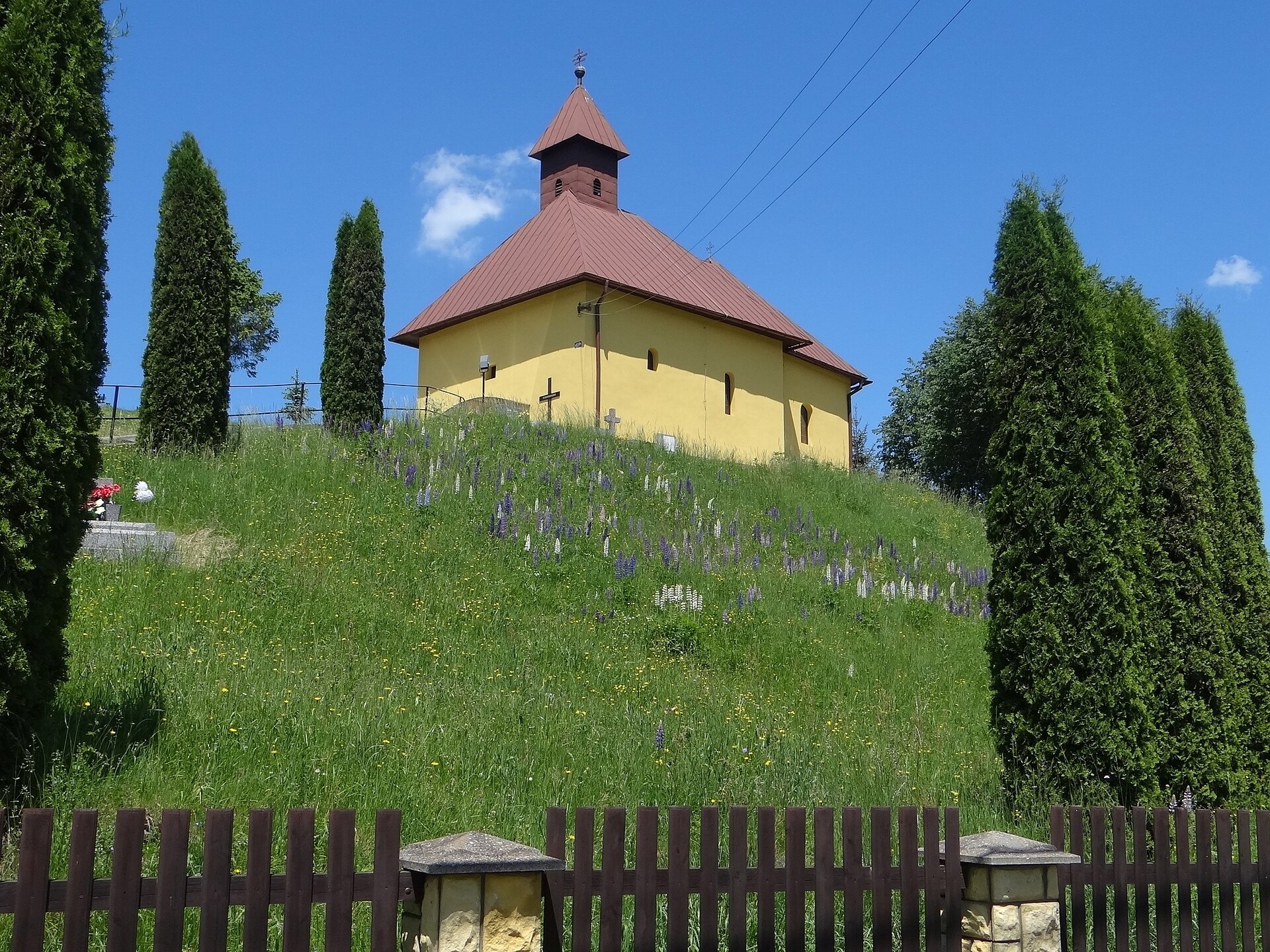
Photos: Jerzy Opioła, CC BY-SA 4.0 (Wikimedia Commons); Jerzy Opioła, CC BY-SA 4.0 (Wikimedia Commons)
Ďurková is a village in Slovakia.
Elevation: about 523 m above sea level. Population: 219 (2025). Mountains nearby: Eastern Carpathians.
Here and nearby on the site: 2 trails.
Facts: Wikidata, OpenStreetMap. More on Wikipedia
Trails nearby
All trails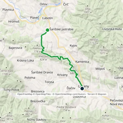 ModerateTwo-dayMarkedĎurková LipanyElevation profile384–826 m19.2 kmascent 570 m≈ 6 h walkingunder 1 km from the centre
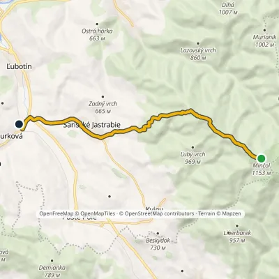 EasyOne-dayMarkedĎurková MinčolElevation profile507–1 153 m10.3 kmascent 15 m≈ 2.5 h walkingunder 1 km from the centre
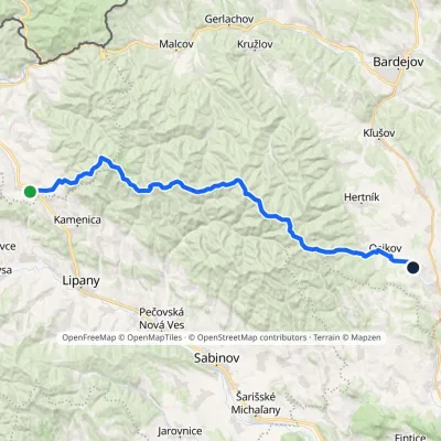 HardMulti-dayMarkedPusté Pole VaniškovceElevation profile323–1 153 m36.1 kmascent 1 113 m≈ 11.5 h walking4.3 km from the centre
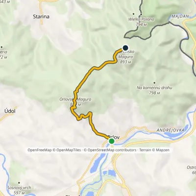 EasyOne-dayMarkedOrlov Kurčínska MaguraElevation profile484–894 m6.7 kmascent 475 m≈ 2.5 h walking4.8 km from the centre
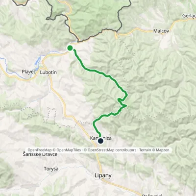 ModerateTwo-dayMarkedČirč junction Kamenica, junctionElevation profile477–1 153 m19.7 kmascent 676 m≈ 6.5 h walking5.6 km from the centre
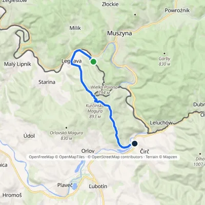 ModerateOne-dayMarkedČirč, junction MuszynaElevation profile437–893 m11.6 kmascent 471 m≈ 4 h walking5.6 km from the centre
Peaks nearby
All peaks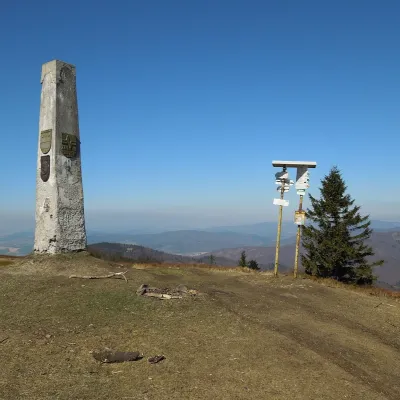 PeakMinčol (Čergov)Kyjovaltitude 1 157 m8.6 km from the centreMinčol (Hungarian Mincsol) is the highest summit of the Čergov mountains in eastern Slovakia, 1157 m high.
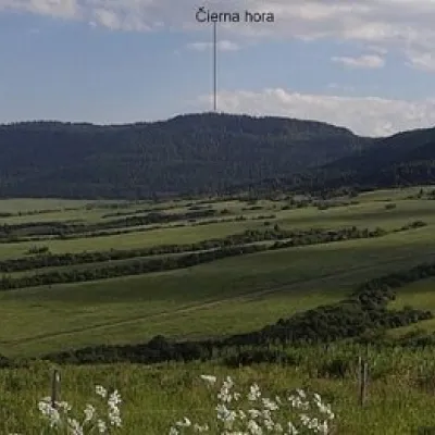 PeakČierna hora (Levoča Mountains)Jakubanyaltitude 1 289 m19 km from the centreČierna hora is a 1289.4 m summit, the highest point of the Slovak Levoča Mountains (Levočské vrchy) – a flysch range of the Podhôľno-magurská region in eastern...
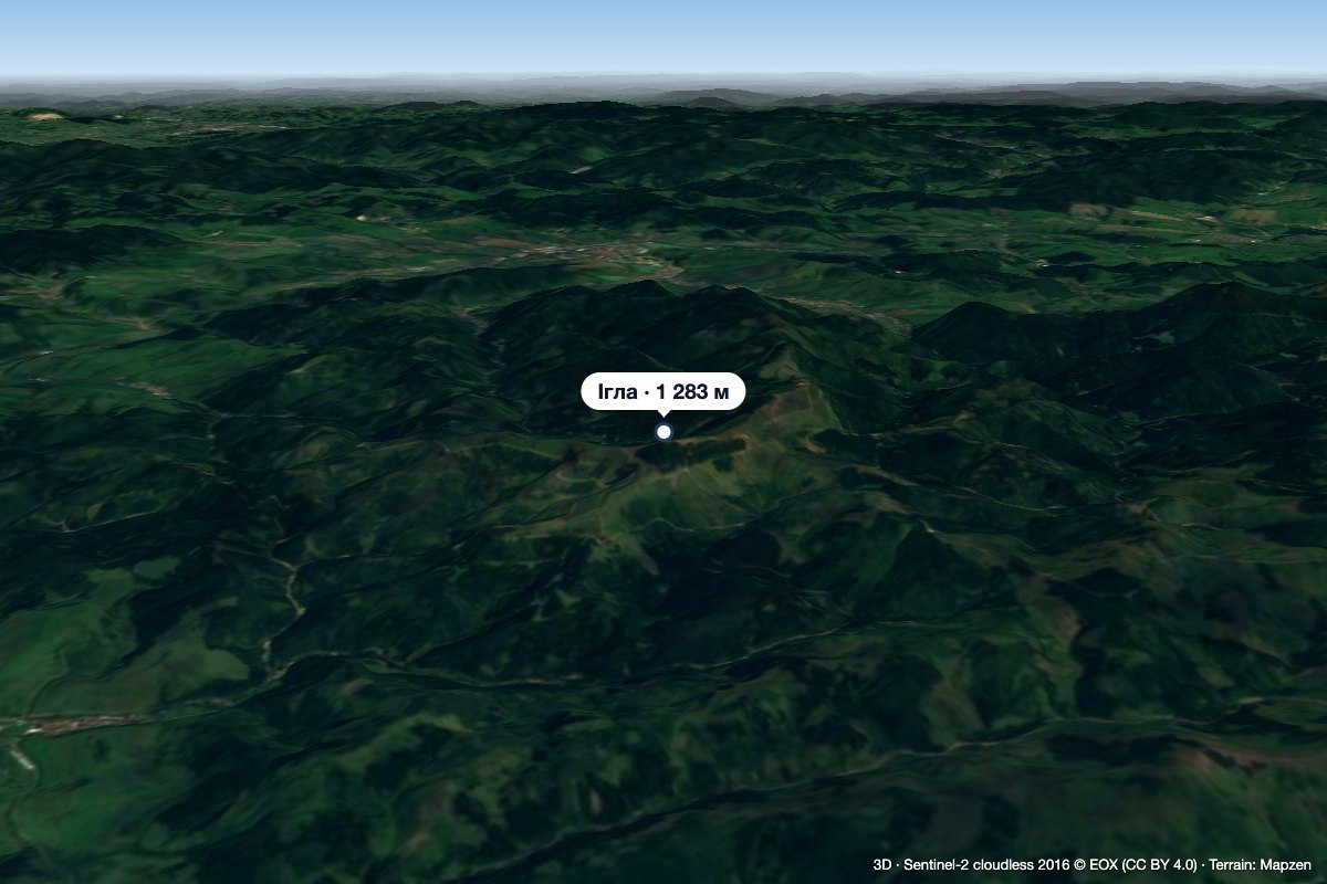 PeakIhla (Levoča Hills)Ihľanyaltitude 1 283 m20 km from the centreIhla (Slovak for "needle"; German Nadel) is a 1283 m summit in the Levoča Hills (Levočské vrchy) in eastern Slovakia, the third highest in the range.
What to visit
All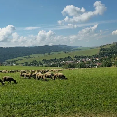 Cheese dairies & pasturesFarma Kamenica — Family Sheep Farm and Cheese Dairy in ŠarišKamenica7.1 km from the centreKamenica is a village in northern Šariš, in the valley of the Kameničanka stream, at about 483 m above sea level.
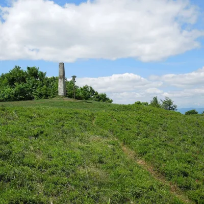 Mountain meadowThe meadow of Čergov's Minčol, the highest peak of the Čergov mountainsKyjovaltitude 1 157 m8.6 km from the centreČergov's Minčol (Minčol, 1,157 m) is the highest summit of the Čergov mountains in eastern Slovakia, where the districts of Bardejov, Sabinov and Stará Ľubovňa of the...
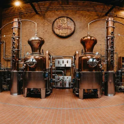 Craft producersSpišská Pálenica, Stará Ľubovňa: distillery tour and Spiš borovičkaStará Ľubovňa14 km from the centreSpiš boasts perhaps the oldest history of distilling in Europe: at the hillfort of Myšia Hôrka near Spišský Štvrtok, part of a distillation vessel from around 1500 BC...
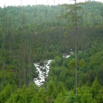 RiverPoprad RiverStará Ľubovňa15 km from the centreThe Poprad is a river of Slovakia and Poland and a right-bank tributary of the Dunajec. It is about 174 km long: 113 km flow through Slovakia, 31 km form the border...
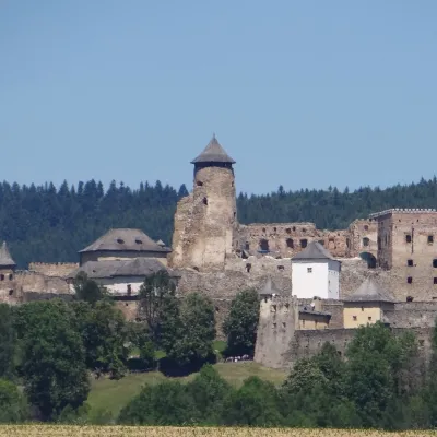 CastleĽubovňa CastleStará Ľubovňa15 km from the centreĽubovňa Castle (Ľubovniansky hrad) stands on a 548 m limestone hill above the town of Stará Ľubovňa and the left bank of the Poprad.
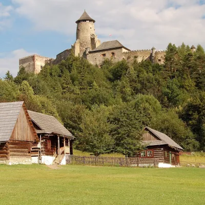 MuseumĽubovňa Open-Air Museum below the castleStará Ľubovňa15 km from the centreThe open-air museum below Ľubovňa Castle (Ľubovniansky skanzen) opened in 1985 on the meadows beneath the castle hill in Stará Ľubovňa.
Craft nearby
All craft places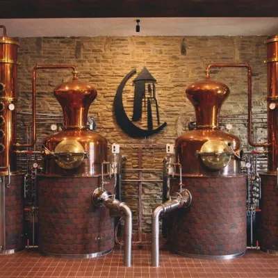 Craft producersCastle Distillery below Ľubovňa Castle: fruit spirits and tastingsStará Ľubovňa15 km from the centreStará Ľubovňa is a town in northern Spiš, overlooked by Ľubovňa Castle. For more than three and a half centuries Ľubovňa was one of the Spiš towns pledged to the...
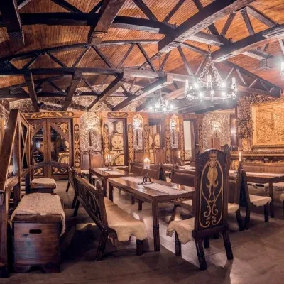 Craft producersNestville Distillery, Hniezdne — Home of the First Slovak WhiskyHniezdne18 km from the centreThis tradition is the basis for BGV, a company founded in 2001, which built the Nestville Distillery here.
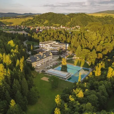 Water parks & thermal poolsVyšné Ružbachy Spa: Izabela Mountain Pools and Indoor Thermal PoolVyšné Ružbachy24 km from the centreVyšné Ružbachy is one of Slovakia’s oldest spas. It lies on the south-eastern slope of the Spišská Magura at about 617 m, surrounded by coniferous forest that merges...
Spas and thermal pools nearby
Huts, shelters and springs nearby
Getting there from Ukraine
Border crossings
- Uzhhorod – Vyšné Nemecké — road, 24/7
- Malyi Bereznyi – Ubľa — road, 24/7 For cars and buses; pedestrians not confirmed by the Ukrainian border service, lorries up to 3.5 t.
- Mali Selmentsi – Veľké Slemence (pedestrian) — pedestrian, 09:00–21:00 Kyiv time Pedestrians and cyclists only; inconvenient for the Tatras without onward transport.
- Chop – Čierna nad Tisou (rail) — rail, 24/7
By car
From Lviv ≈382 km, ≈5 h 15 min without queues: M-10 → Krakovets – Korczowa → A4 to Brzesko → DK75 to Nowy Sącz → DK87 via Piwniczna-Zdrój to the internal Schengen crossing Piwniczna – Mníšek nad Popradom → I/68 to Stará Ľubovňa (≈304 km, ≈3 h 50 min from the Ukrainian border). From Uzhhorod ≈183 km, ≈3 h: Vyšné Nemecké → I/19 to Košice → D1 to Prešov → I/68 via Sabinov and Lipany to Stará Ľubovňa. Via Uzhok and Ubľa ≈408 km, ≈6 h 55 min. The D1 requires an e-vignette (eznamka.sk).
Checked 23.10.2026; border crossing hours and timetables change — check before you travel.
