Bobek
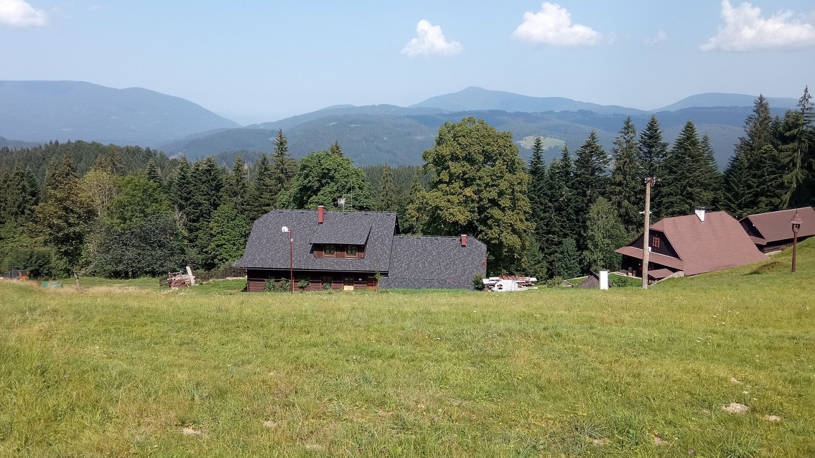
Bobek (Slovak also Bobok) is an 871 m hill on the border of Slovakia and the Czech Republic. Slovak geographers place it in the Turzovka Highlands (Turzovská vrchovina, Zadné vrchy subunit) of the Western Beskids, Czech ones in the Moravian-Silesian Beskids. The summit lies on the western edge of the Kysuce region, above the village of Korňa, about 9 km west of the town of Turzovka; on the Czech side the municipality of Bílá lies below. The hill carries the boundary of the Žilina and Moravian-Silesian Regions and of the Čadca and Frýdek-Místek Districts; its eastern part belongs to the cadastre of Vysoká nad Kysucou, the western part to Bílá. The nearest settlements are Bílá (about 3 km), Korňa (5 km), Klokočov (6 km), Makov and Vysoká nad Kysucou (about 7 km).
Bobek is not a typical wild summit: its slopes have long been settled. On the Czech side, close to the top, lies the hamlet of Bobek, on the Slovak side the hamlet of Ulčáky. The meadows around the houses give open views, while the summit itself is covered by patchy forest.
How to get there / routes
No marked trail leads to the very top, but two routes cross nearby:
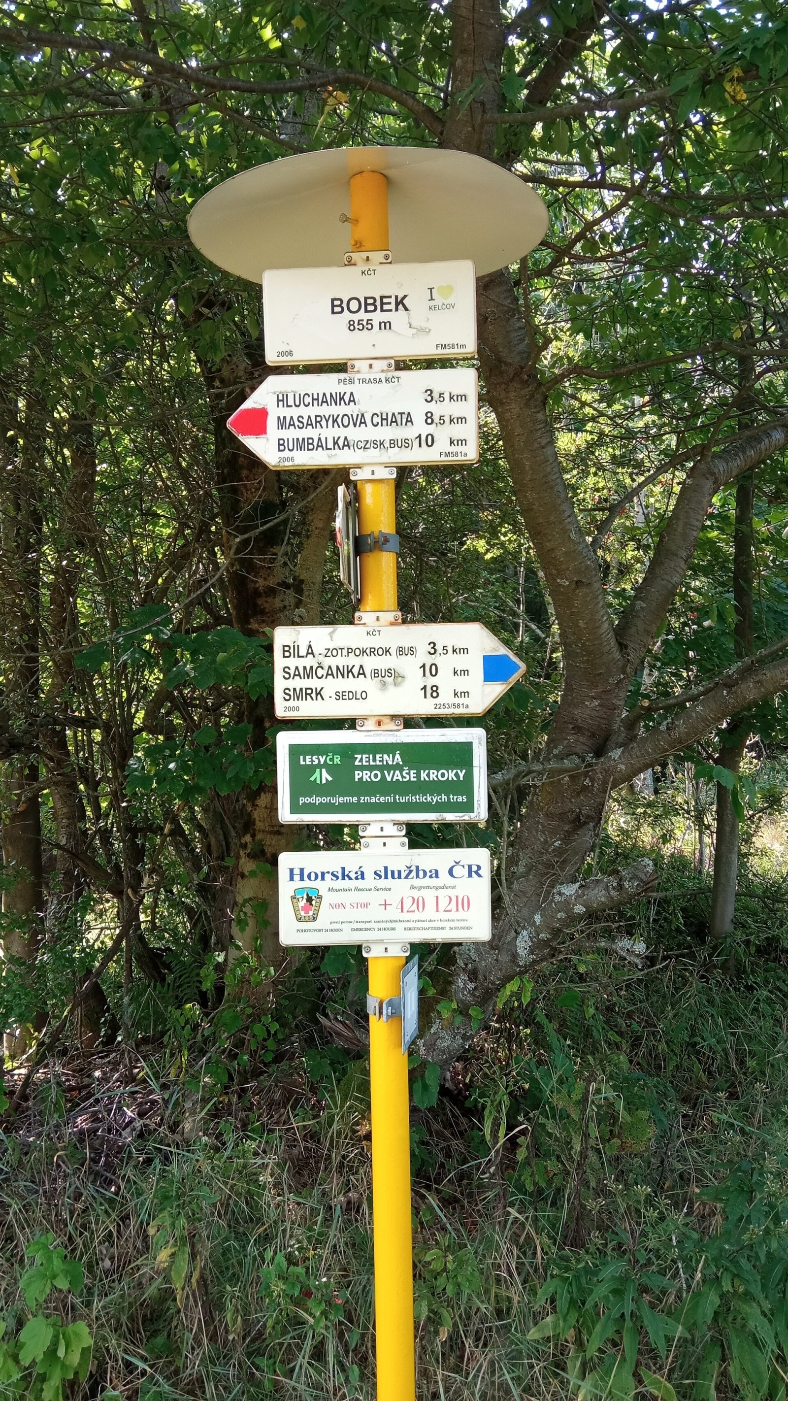
- Red trail – the border ridge route: from the north-east from the Konečná pass (road II/484), from the south-west from Hluchánka. According to the signpost at the Bobek junction (850 m), Konečná is about 4 km and Hluchánka 3.5 km away. The long-distance routes Via Slovakia and Via Czechia also use this section.
- Blue trail – from the Czech village of Bílá, about 3 km to the Bobek junction.
From the junction the highest point is only a few dozen metres away across the meadow and the forest edge. A cycle route also runs along the forest road from Černá and turns towards Kavalčanky below the Ulčák hamlet.
What you can see from the top
Patchy forest covers the summit, so the view is limited. From open spots you can see the peaks of the Turzovka Highlands, the nearby Moravian-Silesian Beskids and the Javorníky, and in good visibility the Kysuce and Orava Beskids and the Lesser Fatra. To the north rise Těšíňočka (919 m) and Lysá hora (1328 m), to the west Trojačka (987 m), Kněhyně (1257 m) and Smrk (1276 m).
Nature and history
The main European watershed between the Black Sea and the Baltic runs along the ridge of Bobek. Water from the eastern slopes flows via the Kornianka to the Kysuca and on to the Danube, from the northern slopes via the Chladná voda and from the southern ones via the Čurábka to the Bílá Ostravice, the Ostravice and the Oder. The Čurábka rises on the western slope and soon, at Kavalčanky, joins the Smradlavka; on the northern slope springs the Chladná voda, one of the tributaries of the Černá Ostravice.
The Slovak part of the hill belongs to the Kysuce Protected Landscape Area (CHKO Kysuce), the Czech part to CHKO Beskydy. The slopes are covered with spruce and mixed forests alternating with meadows and scattered hamlets – the typical landscape of the Wallachian and Kysuce hills.
Safety, season and rules
The routes to Bobek are easy and suitable for walks all year round; in winter a cross-country ski track is groomed along the ridge road. Follow the rules of both protected landscape areas and do not enter the private grounds of the hamlets. On the Slovak side the Mountain Rescue Service (HZS) operates: 18 300 (+421 18 300); on the Czech side the Horská služba ČR (+420 1210); the general emergency number is 112.
Interesting facts
- The summit lies exactly on the state border, and the hill has two names: Czech Bobek and Slovak Bobok.
- The Black Sea–Baltic watershed runs over Bobek.
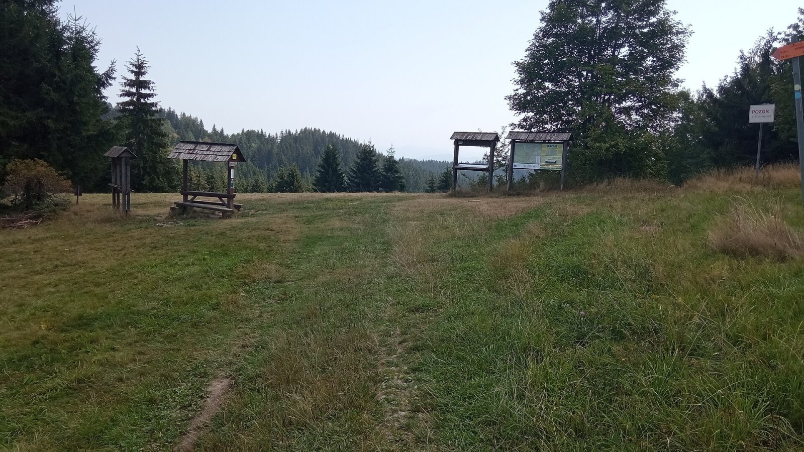
- A hikers' shelter with a table and benches stands on the meadow below the top.
Photos: Hugo, CC BY-SA 4.0; Hugo, CC BY-SA 4.0; Hugo, CC BY-SA 4.0 — Wikimedia Commons.
Getting there from Ukraine
Border crossings
- Uzhhorod – Vyšné Nemecké — road, 24/7
- Malyi Bereznyi – Ubľa — road, 24/7 For cars and buses; pedestrians not confirmed by the Ukrainian border service, lorries up to 3.5 t.
- Mali Selmentsi – Veľké Slemence (pedestrian) — pedestrian, 09:00–21:00 Kyiv time Pedestrians and cyclists only; inconvenient for the Tatras without onward transport.
- Chop – Čierna nad Tisou (rail) — rail, 24/7
By car
From Uzhhorod to Žilina ≈330 km, ≈4 h 20 min without queues: Uzhhorod – Vyšné Nemecké → I/19 to Košice → D1 via Prešov, Poprad, Liptovský Mikuláš and Ružomberok (≈17 km on I/18 between D1 sections) → Žilina. To Terchová ≈314 km, ≈4 h 15 min: from the D1 onto I/70 and II/583. From Lviv through Poland: M-10 → Krakovets – Korczowa → A4 to Kraków → S7/DK7 to Chyżne – Trstená → R3, I/59 to Dolný Kubín → II/583 via Terchová to Žilina: to Terchová ≈493 km (≈6 h 30 min), to Žilina ≈518 km (≈7 h). Via the tolled A4 Kraków – Katowice, S1 and D3: ≈533 km, ≈6 h 35 min. The D1 requires an e-vignette (eznamka.sk).
Checked 23.10.2026; border crossing hours and timetables change — check before you travel.
Location on the map
Water and shelter nearby
- Spring below Lukavice1.6 km · Not verified · 701 m
- Spring below Čupeľ (north-west slope)2.6 km · Not verified · 688 m
Comments
Trails nearby
All trails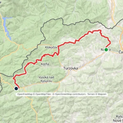 HardMulti-dayMarkedKysucká magistrálaElevation profile423–875 m42.4 kmascent 1 766 m1.6 km from Bobek
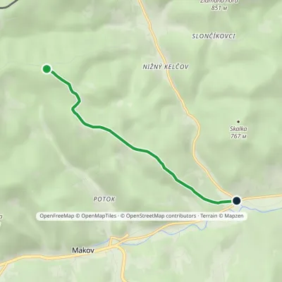 EasyOne-dayMarkedNižný Kelčov VolarskáElevation profile560–825 m3.9 kmascent 50 m≈ 1 h walking4.6 km from Bobek
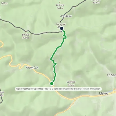 EasyOne-dayMarkedMakov, Gašparík Hut KmínekElevation profile637–892 m3.1 kmascent 259 m≈ 1.5 h walking5.1 km from Bobek
Nearby attractions
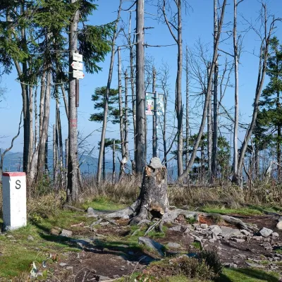 PeakVeľký PolomRakováaltitude 1 067 m15 km from BobekVeľký Polom (Czech Velký Polom, Polish Wielki Połom) is a 1,067 m mountain on the Slovak–Czech border and the highest summit of the Slovak part of the Moravian...
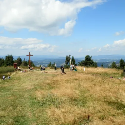 Mountain meadowThe summit hala of Veľká Rača, the highest peak of the Kysucké BeskydyKlubinaaltitude 1 236 m35 km from BobekVeľká Rača (Polish Wielka Racza, 1,236 m) is the highest mountain of the Kysucké Beskydy on the Slovak–Polish border, about 12 km east of the town of Čadca.
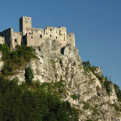 CastleStrečno CastleStrečno39 km from BobekThe castle guarding the gate of the Malá Fatra Strečno Castle (Hrad Strečno) stands on a 103 m limestone crag above the River Váh, 11 km from Žilina on the road to...
Craft nearby
All craft places Cheese dairies & pasturesRaková farm in Kysuce: bryndza, žinčica and cheese cakesRaková18 km from BobekKysuce is a hilly region in north-western Slovakia, near the Polish and Czech borders, with scattered hillside hamlets (“kopanice”) and an old tradition of keeping...
 Cheese dairies & pasturesFarma Brezany near Žilina: hand-stretched cheese and a distilleryBrezany30 km from BobekBrezany is a village a few kilometres south of Žilina, on the edge of the Žilina basin and the foothills leading towards the Rajec valley and the Strážov Hills.
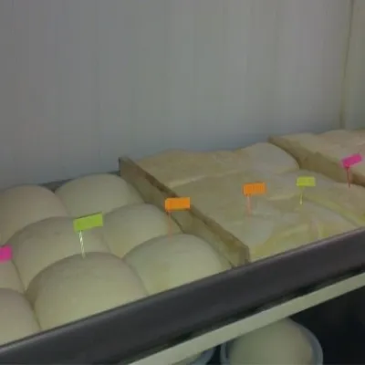 Cheese dairies & pasturesSalaš Orlové near Považská Bystrica: cheese, bryndza, žinčicaPovažská Bystrica33 km from BobekOrlové is a part of the town of Považská Bystrica on the left bank of the Váh, at the foot of hills that rise into the Strážov Hills.
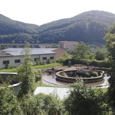 Water parks & thermal poolsNimnica: a mineral-water spa above the Nosice reservoirNimnica35 km from BobekNimnica is one of Slovakia's youngest spas, in the Váh valley between Púchov and Považská Bystrica. Its spa houses stand at about 300 m on a wooded spur of the...
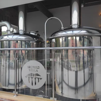 Craft beer & breweriesBrowar Wisła: craft brewpub in Wisła's old railway stationWisła36 km from BobekBrowar Wisła is a brewpub in the heart of the Silesian Beskids, in the spa town of Wisła, where Poland's longest river of the same name rises.
 Water parks & thermal poolsSpa Aphrodite thermal pools, Rajecké TepliceRajecké Teplice37 km from BobekHot mineral water rises here, and it feeds the Spa Aphrodite resort, whose thermal pools, saunas and Natural Spa zone are open not only to patients but to anyone with...
