Tęgoborze – Białowodzka Góra (chapel)
Trail map
Route, springs and shelters: © OpenStreetMap contributors (ODbL) · elevation: Copernicus DEM © DLR e.V., © Airbus DS · Data & licences
About the trail
Route Tęgoborze – Białowodzka Góra (chapel). Has green marking (regional route, PTTK Nowy Sącz). Waymarking data: OpenStreetMap (© OpenStreetMap contributors, ODbL).
Officially marked regional tourist route. The marking is green, the sign is a horizontal stripe on a white background. Marked and maintained by: PTTK Nowy Sącz. Length of the route — 3.7 km. Location: mountain range — Ostry Beskid, Poland.
At a glance
A short route of 3.7 km with 338 m of ascent from Tęgoborze to Białowodzka Góra (chapel). Estimated walking time: about 1.5 h, not counting stops. Difficulty: easy. Waymarking: green.
Route stages
- 0–1.5 kmGentle ups and downs at 270–370 m
- 1.5–3 kmClimb of 230 m to Zamczysko (607 m)
- 3–3.5 kmGentle ups and downs at 590–610 m
Steepest kilometre: km 1.5–2.5, a climb of 220 m (≈22%), near Zamczysko.
Water and overnight stays
Our map shows no springs near the trail — bring your own water (at least 1 l).
When to go
The route can be walked most of the year; it is most comfortable from April to October.
Getting there
Start: Tęgoborze. This is a one-way route: the finish is 3 km from the start in a straight line, so plan your way back in advance.
FAQ
- How long does the route take?
- Estimated walking time: about 1.5 h, not counting stops.
- Is there water on the route?
- Our map shows no springs near the trail — bring your own water (at least 1 l).
Comments
Trails nearby
All trails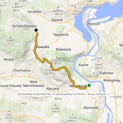
Craft nearby
All craft places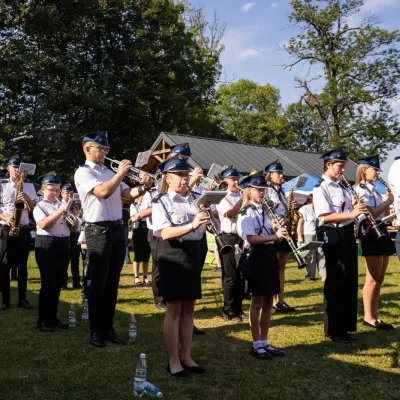 Markets & fairsFasolowe Żniwa in Rożnów: the Piękny Jaś bean harvest festivalRożnów7.2 km from the trailThe Dunajec valley around Lake Rożnów is famous for the large white “Piękny Jaś” (Beautiful Johnny) bean. “Fasola Piękny Jaś z Doliny Dunajca” holds EU Protected...
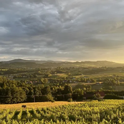 Wine & tastingsWinnica Nowizny, Połom Mały: wine from an 1891 cellarPorąbka Iwkowska10 km from the trailWinnica Nowizny is a family farm in the village of Połom Mały, Iwkowa municipality, in the Rożnów Foothills of Lesser Poland, north of Nowy Sącz and Lake Rożnów.
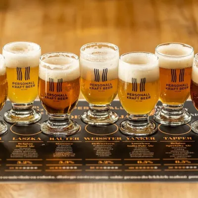 Craft beer & breweriesPersonall Kraft Brewpub, Stary SączStary Sącz16 km from the trailPersonall Kraft is a family-run brewpub in Stary Sącz where the beer is brewed right in the dining hall: the big brewing vessels are visible from the tables.
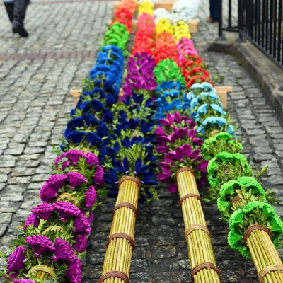 Markets & fairsLipnica Murowana Palm Contest: giant Easter palms and fairLipnica Murowana19 km from the trailLipnica Murowana is a tiny historic town on the Wiśnicz Foothills, among orchards and hills between Bochnia and Limanowa.
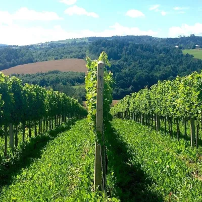 Wine & tastingsChodorowa vineyard near Grybów: tour and wine tastingChodorowa20 km from the trailThe Chodorowa vineyard (Winnica Chodorowa) lies in the hills of the Rożnów Foothills (Pogórze Rożnowskie), a few kilometres from the small town of Grybów in the...
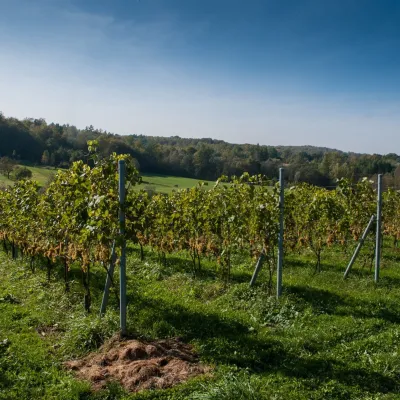 Wine & tastingsWinnica Chronów: natural wines where the Island Beskids beginChronów21 km from the trailWinnica Chronów lies where the Island Beskids (Beskid Wyspowy) begin, on the edge of the Wiśnicz-Lipnica Landscape Park, in the small village of Chronów in the Nowy...
