Dolishnii Shepit
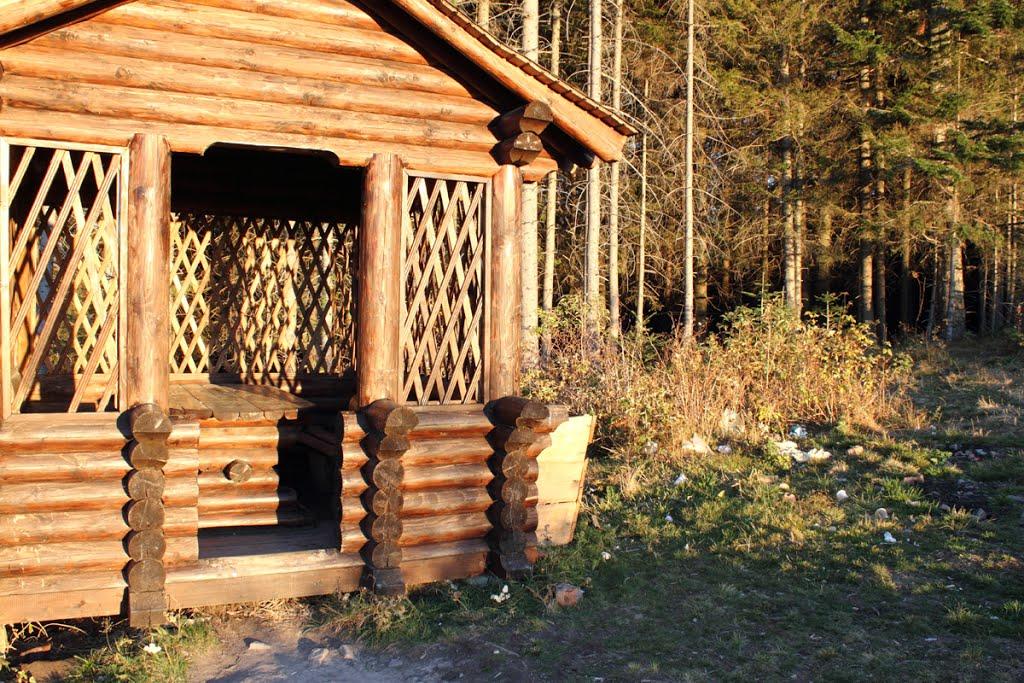
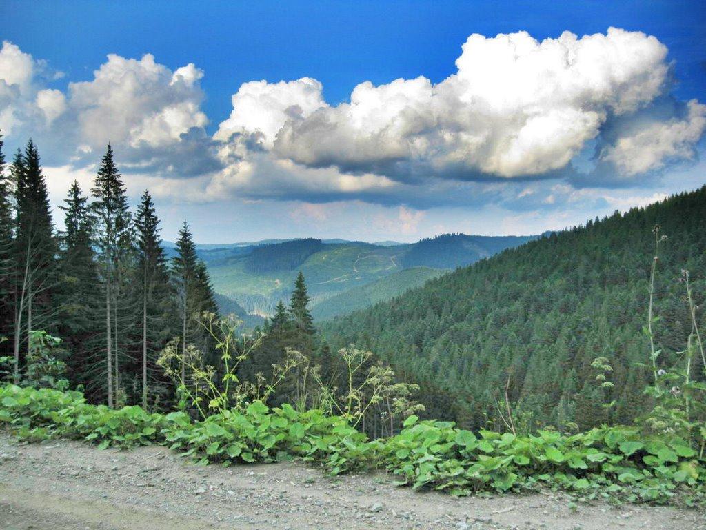
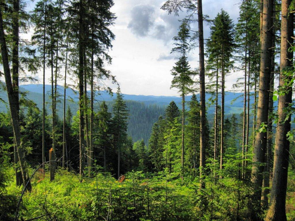
The village of Dolishniy Shepit in the Vyzhnytsia district belongs to the Dolishnioshepit village council of the Chernivtsi region. The first mention of the settlement dates back to 1490, when the surrounding lands were the property of the Putnyansky Monastery. The name, they say, comes from the first resident who ran away from his lord and hid near the local river, listening to the hiss of the water. Over time, the man took his wife and children here, and then other fugitives from the lord's oppression began to settle here. The settlement was named Shypot, later Shepit, and now Dolishnii Shepit.
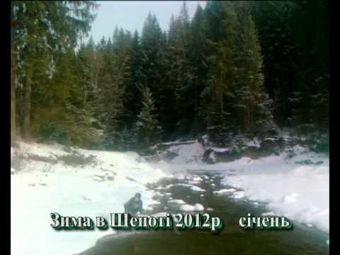
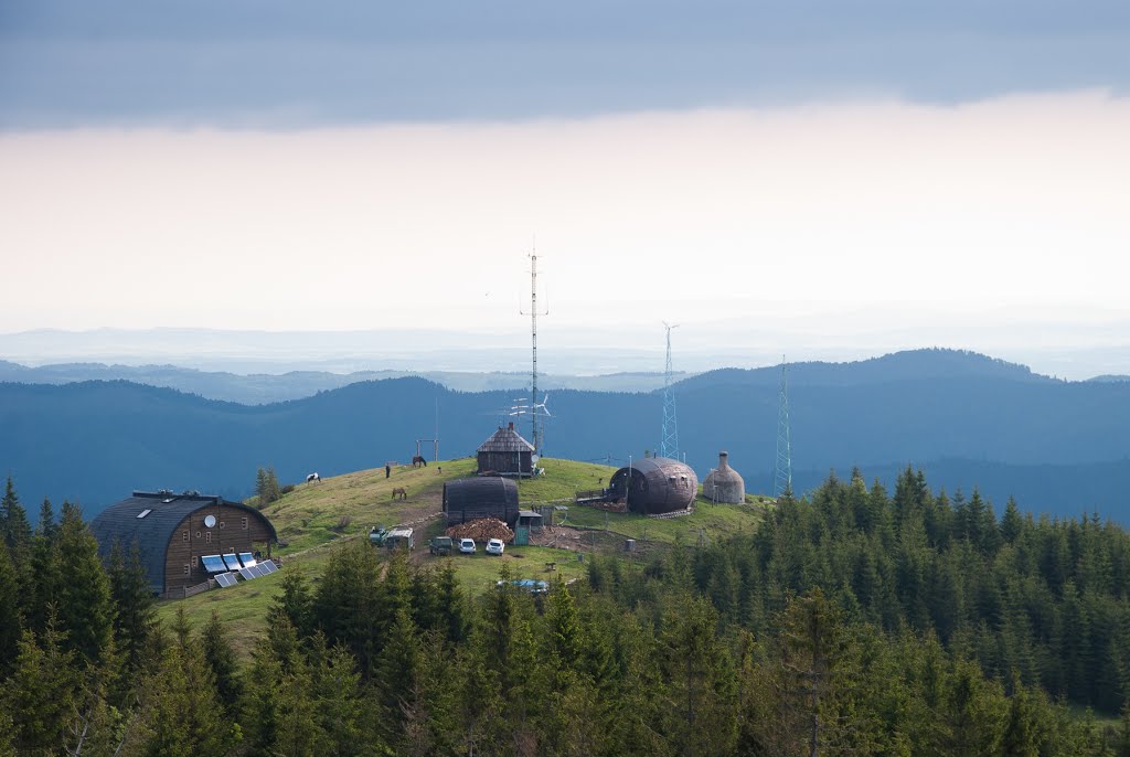
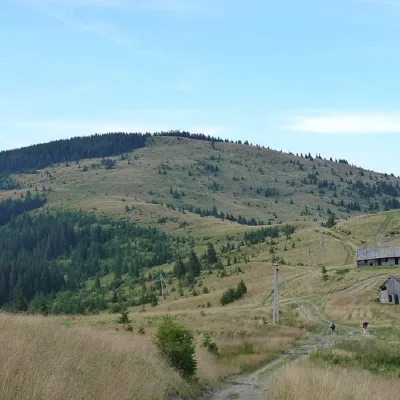
The village of Dolishnii Shepit is located in the valley of the Siret River. It is surrounded by mountains on all sides. It is protected from the east winds by the Tomnatyk and Lysnychka mountains. Magura and Pleshcha rise to the south. In the west, the Fruntia rises. In the north, the valley is closed by Mount Mocharka. The mountains are crowned with centuries-old beeches, evergreen spruce and fir trees. This mountainous area was uninhabited for a long time. The population of Dolishnii Shepit village exceeds 1300 people.
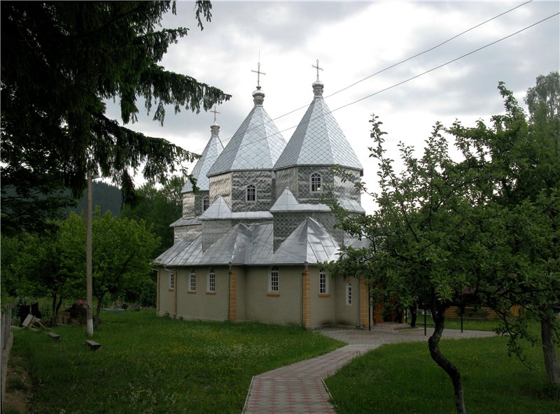
Theold church of Dolishnii Shepot was built in 1891, the church burned down in 1975. In 1991, a wooden church of St. Elijah was built in the village, where a part of the relics of St. Panteleimon has been kept since 2010.
In the 15th century, feudal oppression intensified in Ukraine. Many peasants fled to the mountains to escape the oppression of the serfs. The lords had not yet extended their tentacles here. The first fugitives considered the valley in the Carpathian Mountains, through which the river flowed, a convenient place to settle. In the 15th century, the settlement of Shepot began. There is a legend about the founding of Shepot, recorded by M. Ivaniuk: "In the valley above the river, there was a spruce grove cut by large and small streams. The water ran down the stones so lively that it hissed, creating many hisses on the river or stream, where water runs down from the elevation at high speed, creating ripples on the stream that disappear on the flat.
There was a loud hiss where the Siret and the Lestun meet. A man who had escaped from his masters was hiding in the bushes under it. He was very fond of that hissing and gurgling water because it calmed his nerves, which had been spoiled by the masters. Later, this man brought his wife and children here and built a house. At first, he was afraid of everyone and did not get along with people, lest the lord find out about him through them. But later he became safe and went everywhere. And people came to him for a hiss. And because his house was below the hiss, the water no longer hissed, but only gurgled, they called him Zhebchuk, although he was said to be from Zhab'ya and should have been called Zhybchuk.
Zhebchuk had children and befriended them with girls and boys from other villages. He took all the married ones to work on his farm in Shypit, where there were no lords yet.
There was plenty of material to build houses from, because the fir trees reached the clouds like candles. That's how the village of Shypit from Zhebchuks appeared. Later it was also called Shypit on Siret. After the Second World War, it was called Shepit, and now it is Dolishnii Shepit."
There is nothing to see in Dolishnii Shepot now. Once there was a railroad. They say there are still some old rails somewhere. However, there are a lot of interesting natural objects around for fans of mountain tourism: Lopushnyanski waterfalls, Kanashky rocks, Seretski rocks, Chymyrnarske tract with Chymyrnarskyi Nyzhnii Huk and Chymyrnarskyi Huk waterfalls.
What to visit
Landmarks, museums and places of interest near Dolishnii Shepit.
 WaterfallChemernarsky waterfall Lower HookDolishnii Shepit1.2 km from the centreThe Chemernarsky Lower Hook Waterfall (also known as Lower Shepit) is located in Dolishnyi Shepit, in the western Ukraine, Chernivtsi region.
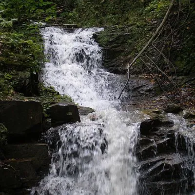 WaterfallChemernarsky Hook waterfallDolishnii Shepit1.9 km from the centreChemernarsky Huk Waterfall is a small but very beautiful waterfall located in the village of Dolishniy Shepit, Chernivtsi region.
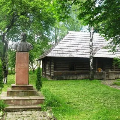 MuseumYuriy Fedkovych's museum-estate, PutylaPutyla14 km from the centreOne can only wonder how, in those dark and hopeless times of foreign enslavement of Bukovyna in the second half of the nineteenth century, in the land of hopeless need...
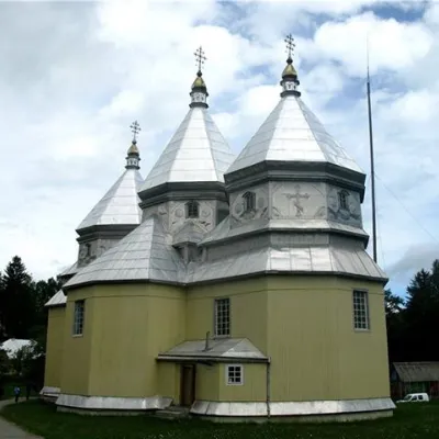 ChurchSt. Nicholas Church, PutylaPutyla14 km from the centreAnd the main church holidays that the entire Soviet government could not knock out of the villagers' minds are Christmas, Easter, and Trinity or Green Sunday.
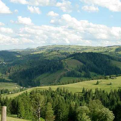 NatureNational Nature Park "Cheremoshsky" PutylaPutyla15 km from the centreThe National Nature Park (NNP) "Cheremoshsky" was established on November 25, 2011 (Park Office: Chernivtsi Oblast, town of Putyla, Ukrainian St., 174a.
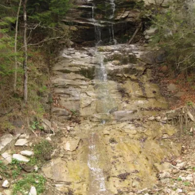 WaterfallWaterfall Kizya, Ust PutilaChernivtsi region17 km from the centreA cascade of waterfalls with a height difference of 16 m. Located on a stream - the right tributary of the Biskiv stream.
Where to stay
Hotels, guesthouses and cottages in and around Dolishnii Shepit.
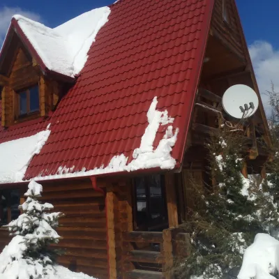 HomesteadChalet in the Carpathians "Lostun"Myhove2.5 km from the centreBreakfastFireplaceKitchenNearby: Chemernarsky Hook waterfall 2.1 km
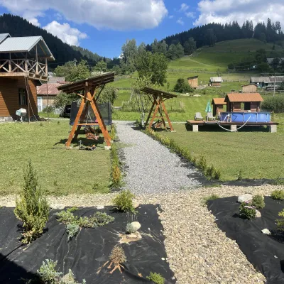 HotelVilla Karpatska BulbonaMyhove12 km from the centreVilla Karpatska Bulbona is located in the picturesque heart of the Carpathians in the village of Serhii, Vyzhnytsia district, Chernivtsi region.Nearby: St. Nicholas Church 3.9 km
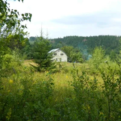 HomesteadEcofarm BukovaBanyliv-Pidhirnyi13 km from the centreBudget vacation in the Bukovinian Carpathians with respect for Nature. Ecofarm Bukova offers a cozy stay in the hamlet of Koshuy, Chernivtsi region in an agro...
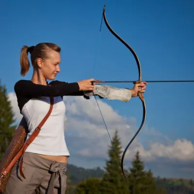 HotelEco-Resort "Khutir Tykhyi" SerhiiSerhii12 km from the centrePoolSaunaSPANearby: St. Nicholas Church 7.4 kmAviary of Selyatyn forestry 8.6 km
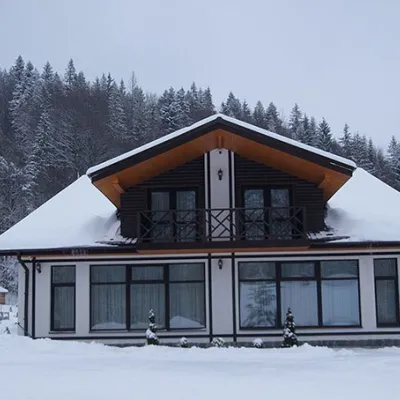 HotelHotel "Hirskaya Sonata" LekechiLekechi13 km from the centrePoolBreakfastBBQNearby: Church of St. John of Suceava 4.9 kmHistorical Museum 7.8 km
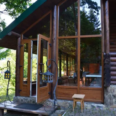 CottageChalet "Mlyn" Myhove (pool, sauna, massage, Hutsul bath)Myhove16 km from the centrePoolSaunaSPANearby: Church of St. John of Suceava 300 mHistorical Museum 4.7 km
Trails nearby
All trails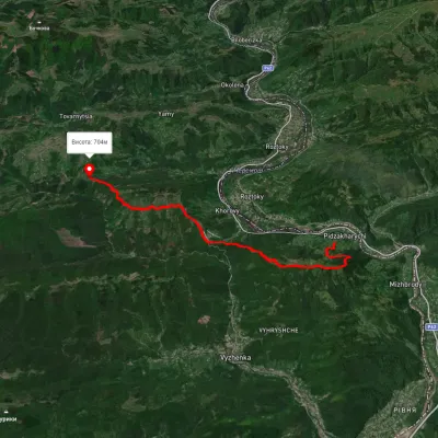 HardTwo-dayMarkedNimchych Pass Protiate KaminniaElevation profile473–820 m20.9 kmascent 1 063 m≈ 7.5 h walking19 km from the centre
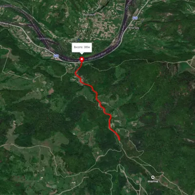 EasyOne-dayMarkedSmuharski WaterfallsElevation profile395–483 m4 kmascent 106 m≈ 1 h walking21 km from the centre
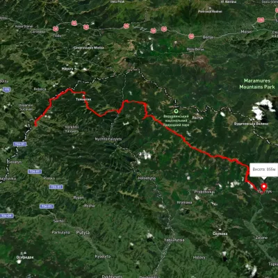 HardMulti-dayUnmarkedShepit village to Shybene villagevia Mount Yarovytsia, Mount Pnivie +1Elevation profile851–1 579 m73.4 kmascent 2 571 m24 km from the centre
Peaks nearby
All peaks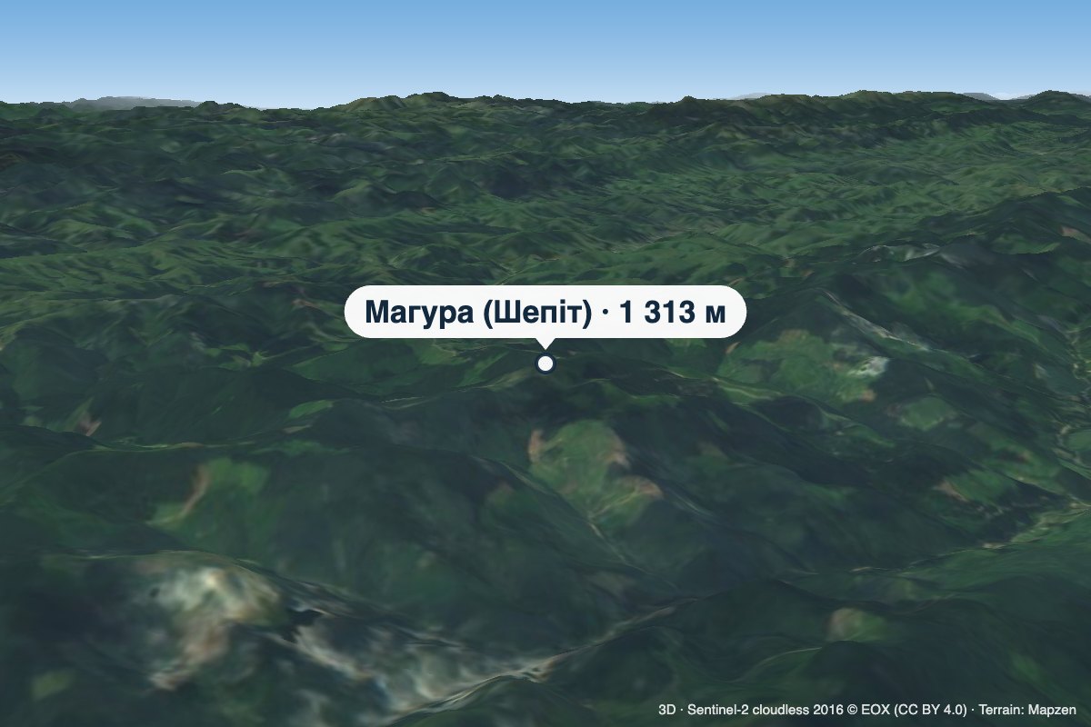 PeakMount Mahura (Shepit)Dolishnii Shepitaltitude 1 313 m · Pokuttia-Bukovyna Carpathians range4.4 km from the centreMahura is a 1,313 m mountain in the Pokuttia-Bukovyna Carpathians, on the Dovhyi Hrun ridge. It lies in the Vyzhnytsia district of Chernivtsi Oblast, south of the...
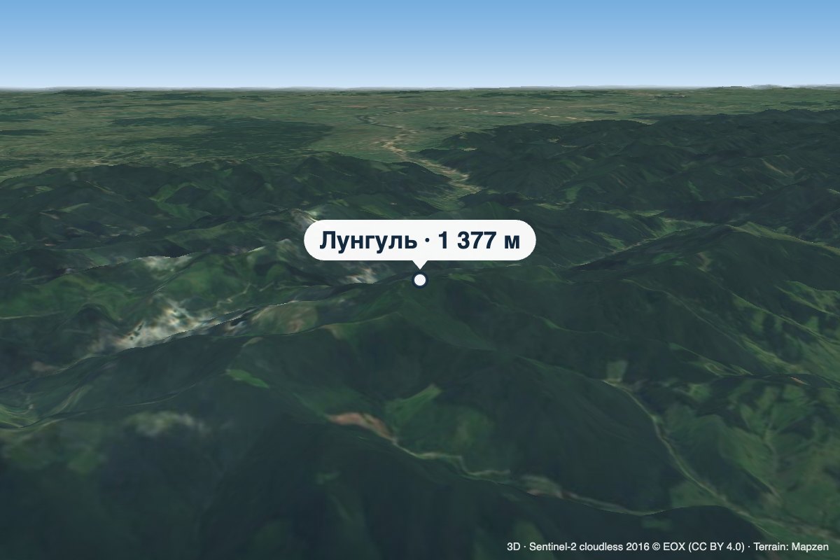 PeakMount LunhulRuskaaltitude 1 377 m7.7 km from the centreLunhul is a 1,377 m summit (1,377.4 m exactly) in the Pokuttia-Bukovyna Carpathians. It stands on the boundary of the former Vyzhnytsia and Putyla districts of...
 PeakMount YarovytsiaVerkhnyi Yalovetsaltitude 1 566 m30 km from the centre8 trails to the topYarovytsia is the peak of the Yalovychora Mountains in the Ukrainian Carpathians, located on the Yarovets Ridge , which is one of the southernmost ridges of the...
What's nearby
Video