Harghita-Băi
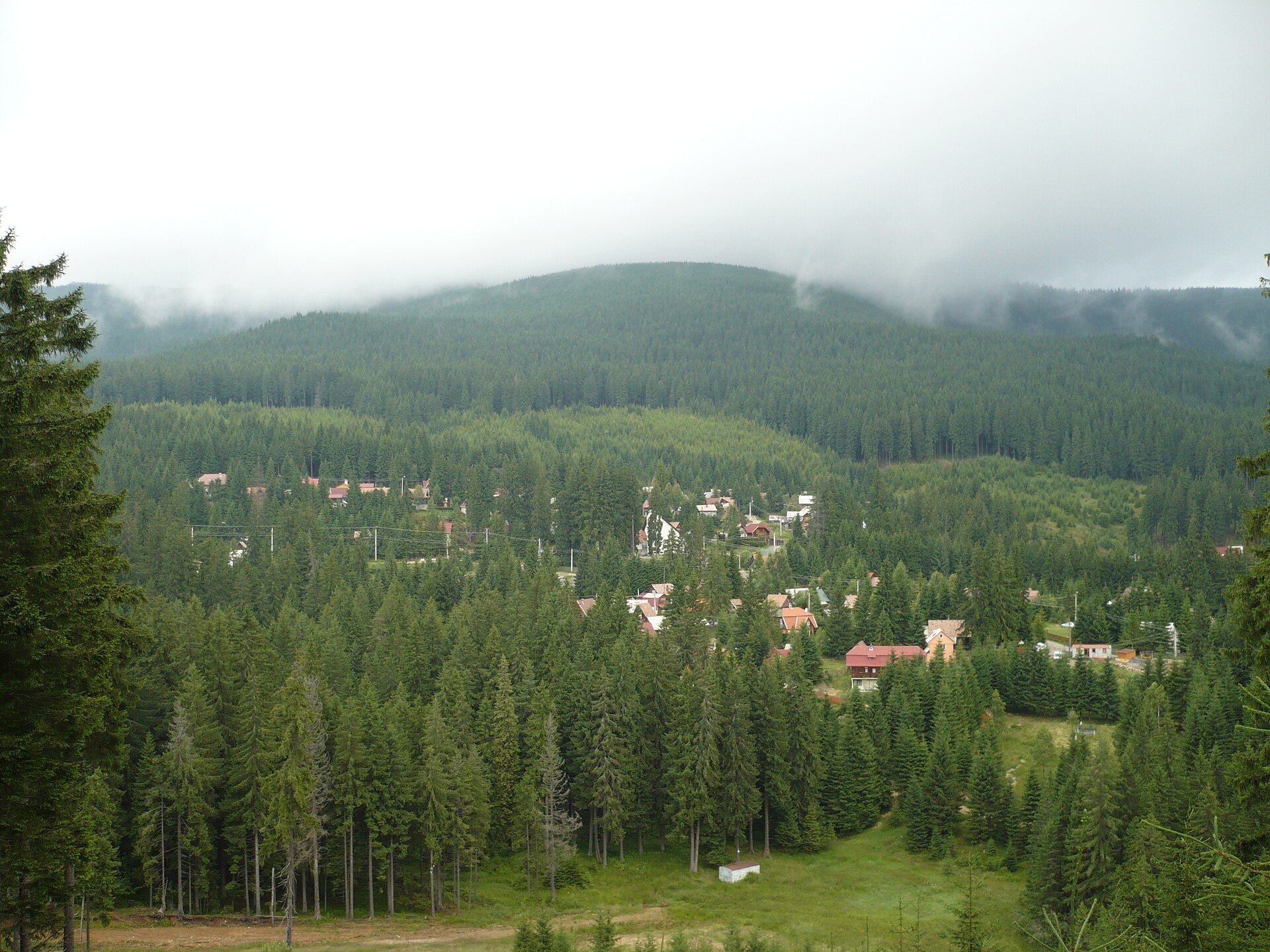
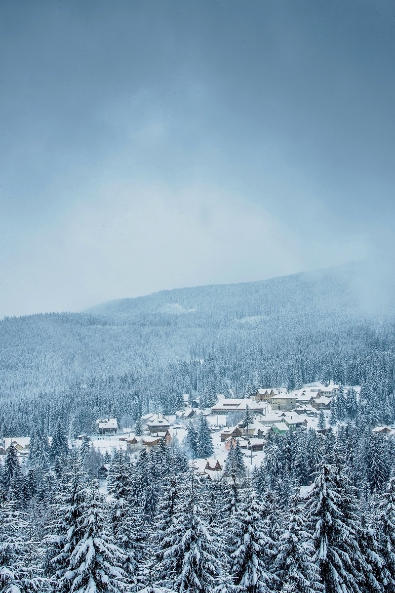
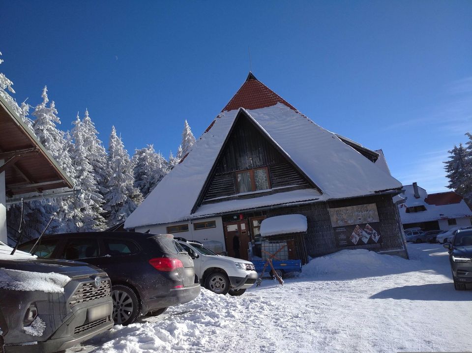
Photos: Kalinka Tamás, CC BY-SA 3.0 (Wikimedia Commons); Harghita-Băi in winter — Katalin, CC BY 3.0 (Wikimedia Commons)
Harghita-Băi is a village in Romania.
Elevation: about 1,296 m above sea level. Population: 168 (2021). Mountains nearby: Harghita and Gurghiu Mountains.
Here and nearby on the site: 1 spa or thermal pool, 3 mountain huts and shelters.
Facts: Wikidata, OpenStreetMap. More on Wikipedia
Comments
Travellers’ experience: reports, tips, questions.
No one has written here yet. Be the first — your experience helps others.
What's nearby
Peaks nearby
All peaks
What to visit
All Water parks & thermal poolsHarghita-Băi: a 99% CO2 mofette and springs in the Harghita MountainsHarghita-Băiunder 1 km from the centreHarghita-Băi (Hungarian Hargitafürdő) is a mountain spa village in Harghita County. It belongs administratively to the town of Miercurea Ciuc and lies about 13 km west...
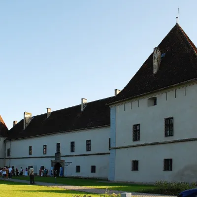 CastleMikó Castle in Miercurea Ciuc: the Csík Székely MuseumMiercurea Ciuc13 km from the centreMikó Castle (Cetatea Mikó, Hungarian Mikó-vár) stands in the very centre of Miercurea Ciuc (Csíkszereda), the capital of Harghita County and of the historical Csík...
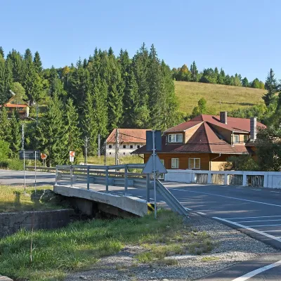 Water parks & thermal poolsBăile Homorod: the Lobogó and Mária iron springs in the Harghita MountainsBăile Homorod13 km from the centreBăile Homorod (Hungarian Homoródfürdő) is a small spa village in Harghita County, administratively part of the town of Vlăhița.
Craft nearby
All craft places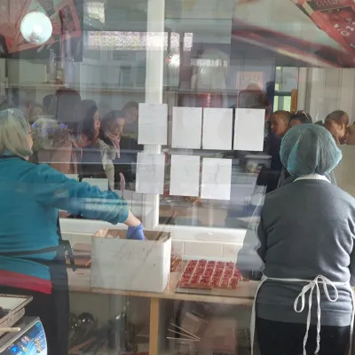 Craft producersGALFFIS chocolate manufactory in Odorheiu SecuiescOdorheiu Secuiesc27 km from the centreBean-to-bar chocolate in the heart of Székely Land Odorheiu Secuiesc (Hungarian: Székelyudvarhely) is known above all for its history, schools and Székely traditions,...
 Wine & tastingsPálinka Jamy distillery: fruit pálinka in Odorheiu SecuiescOdorheiu Secuiesc29 km from the centreOdorheiu Secuiesc (Hungarian: Székelyudvarhely) is a historic town in the Târnava Mare valley in the west of Harghita County, long regarded by the Székelys as their ...
Spas and thermal pools nearby
Water parks & thermal poolsHarghita-Băi: a 99% CO2 mofette and springs in the Harghita MountainsHarghita-Băiunder 1 km from the centreHarghita-Băi (Hungarian Hargitafürdő) is a mountain spa village in Harghita County. It belongs administratively to the town of Miercurea Ciuc and lies about 13 km west...Water parks & thermal poolsBăile Homorod: the Lobogó and Mária iron springs in the Harghita MountainsBăile Homorod13 km from the centreBăile Homorod (Hungarian Homoródfürdő) is a small spa village in Harghita County, administratively part of the town of Vlăhița.Huts, shelters and springs nearby
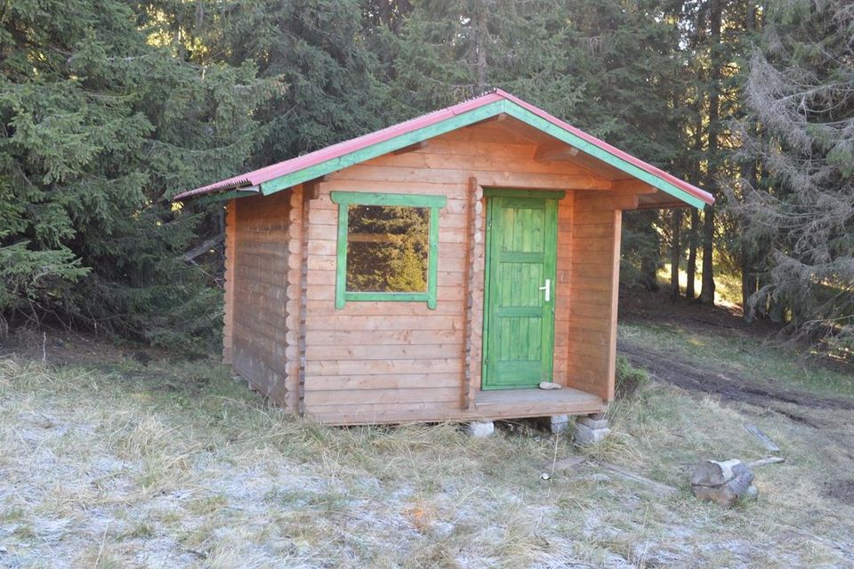 1 602 mHutHegyi menedékhely HutHarghita and Gurghiu Mountains · RomaniaNot verifiedOpen fire inside (smoke hut)
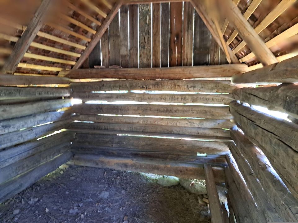
 1 620 mMountain shelterMadaras Hut (Harghita)Harghita and Gurghiu Mountains · RomaniaStandingCall to check availabilitySleeps up to 30Meals served
Getting there from Ukraine
Border crossings
- Porubne – Siret — road and pedestrian, 24/7
- Diakivtsi – Racovăț — road and pedestrian, 24/7 No freight traffic.
- Krasnoilsk – Vicovu de Sus — road and pedestrian, 08:00–20:00 Cars up to 3.5 t and pedestrians only; not 24/7.
- Solotvyno – Sighetu Marmației — road and pedestrian, 24/7 Passenger traffic only: vehicles up to 3.5 t with up to 9 seats, pedestrians.
- Diakove – Halmeu — road, 24/7 No pedestrian crossing.
By car
Chernivtsi – Durău ≈204 km, ≈3 h 54 min (via Diakivtsi – Racovăț); Ivano-Frankivsk – Durău ≈342 km, ≈6 h 11 min (via Diakivtsi – Racovăț); Rakhiv – Durău ≈313 km, ≈6 h 18 min (via Solotvyno – Sighetu Marmației). Times without border queues, our road routing (GraphHopper, OSM).
Checked 03.11.2026; border crossing hours and timetables change — check before you travel.
