Padiș
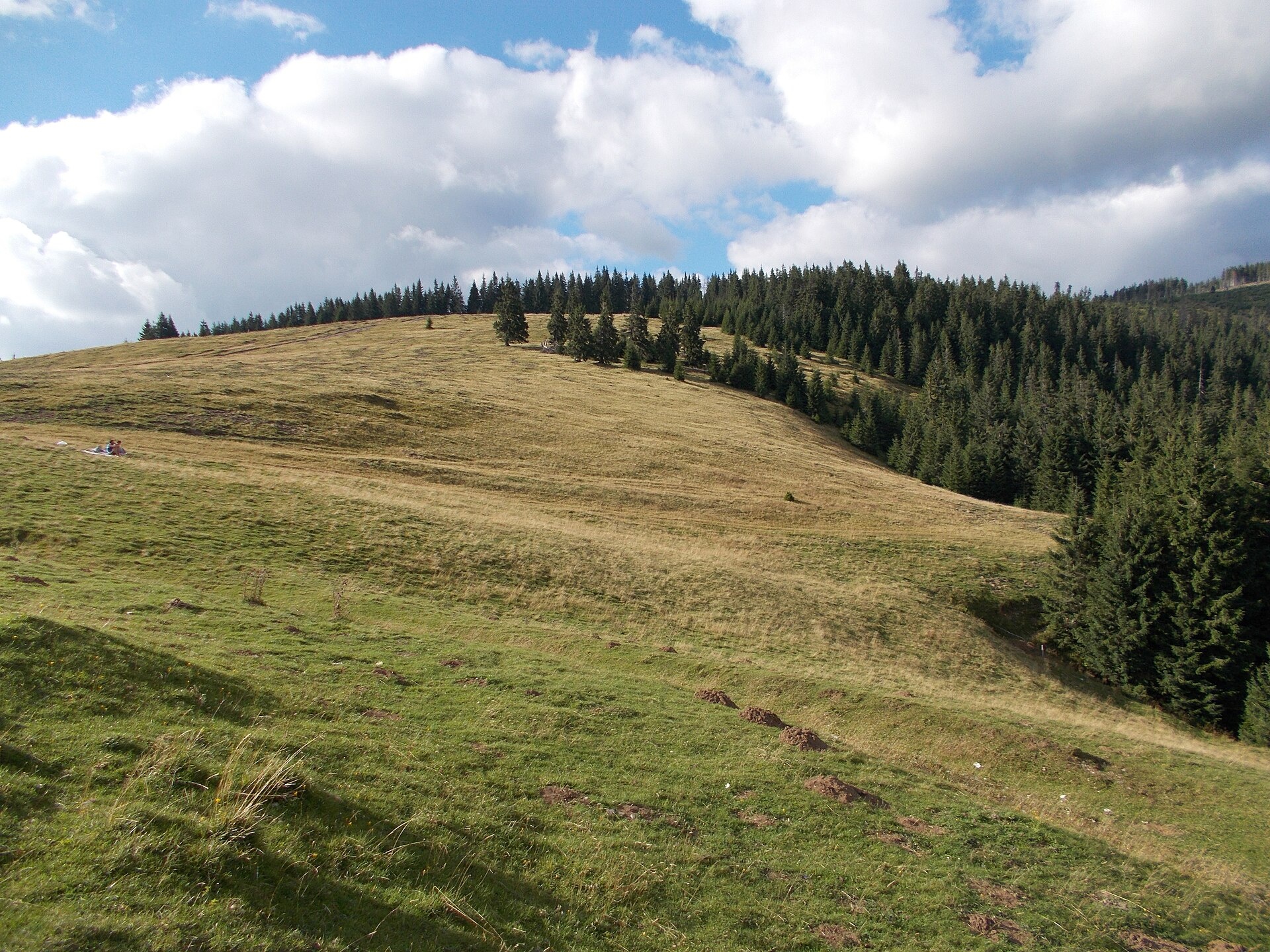
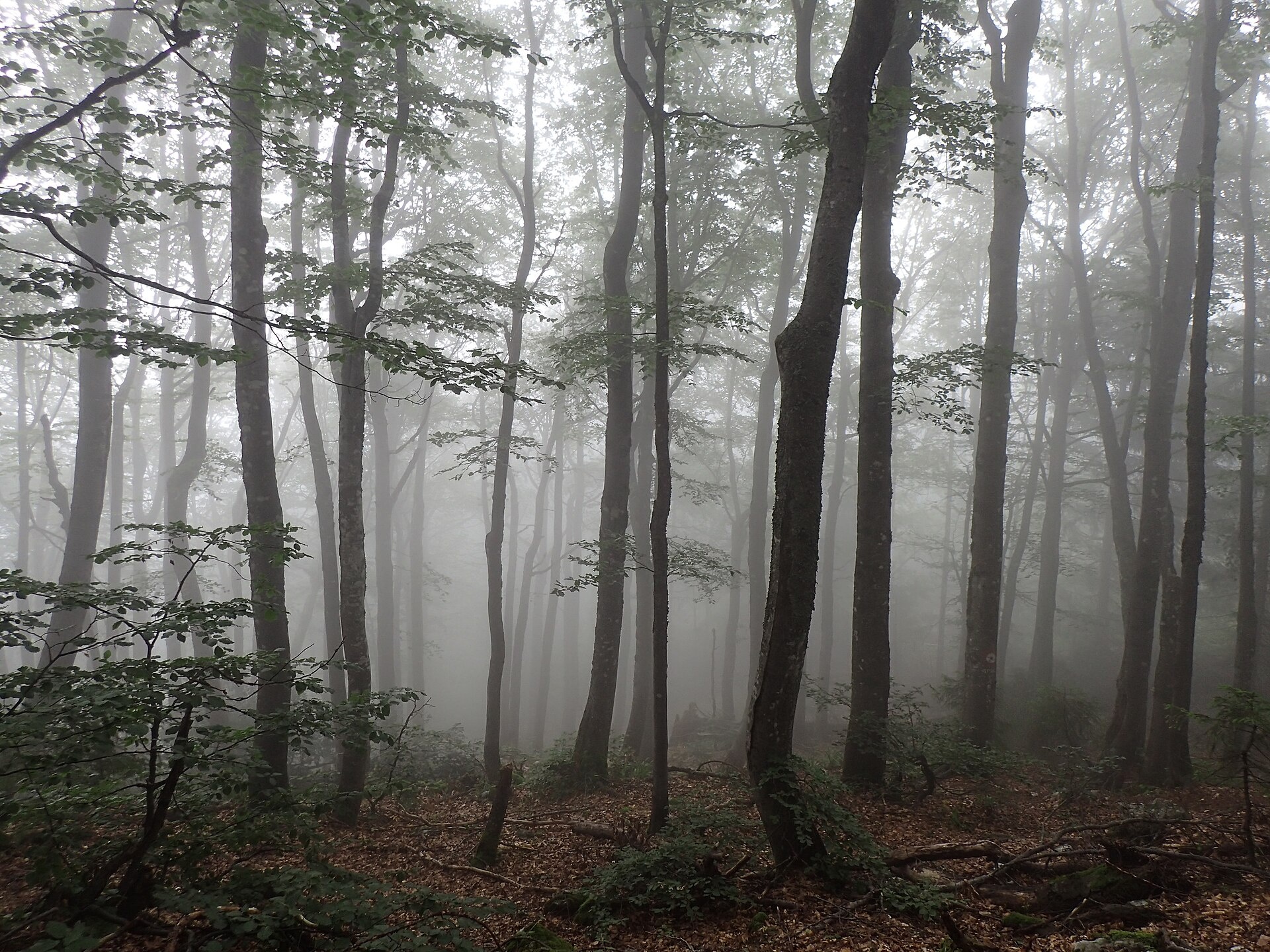
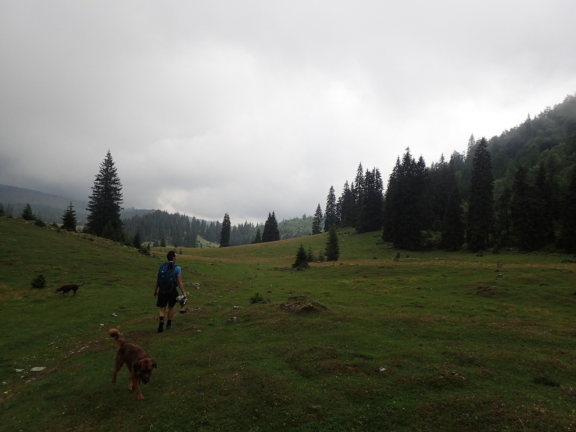
Photos: Nicu Farcaș, CC BY-SA 4.0 (Wikimedia Commons); Raluca Paută, CC BY-SA 4.0 (Wikimedia Commons); Raluca Paută, CC BY-SA 4.0 (Wikimedia Commons)
Padiș is a tourist settlement on the karst plateau of the same name in the Bihor Mountains (Apuseni, the Western Romanian Carpathians), Bihor County, at about 1,290 m.
It is the main trail hub of the plateau: on the site the trails “Pietroasa – Padiș” and “Ghețar – Padiș” meet here and “Padiș – Vărășoaia Saddle” sets out. “Gârda de Sus – Vărășoaia Saddle” and “Stâna de Vale – Vărășoaia Saddle” lead to the same saddle.
The plateau lies inside Apuseni Nature Park; the visiting rules are on the trail pages.
Getting there from Ukraine
The nearest place we have road figures for is Cluj-Napoca (≈71 km from here in a straight line): Rakhiv – Cluj-Napoca ≈219 km, ≈3 h 44 min (via Solotvyno – Sighetu Marmației); Ivano-Frankivsk – Cluj-Napoca ≈353 km, ≈6 h 04 min (via Solotvyno – Sighetu Marmației). Times are without border queues, by our road routing. Romanian national roads require an electronic vignette (rovinieta).
Sources: Wikipedia, Wikidata, OpenStreetMap, Karpaty.rocks data.
What's nearby
Trails nearby
All trails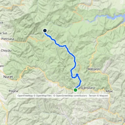 HardMulti-dayMarkedGârda de Sus Vărășoaia SaddleElevation profile727–1 436 m31.8 kmascent 1 186 m≈ 10.5 h walkingunder 1 km from the centre
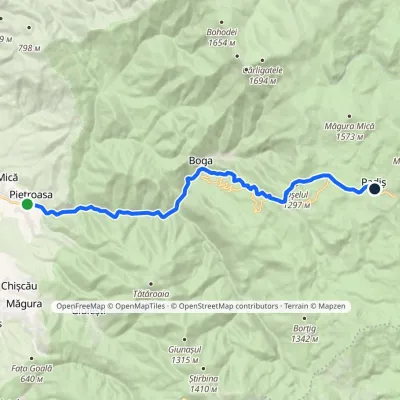 ModerateTwo-dayMarkedPietroasa PadișElevation profile322–1 298 m17.8 kmascent 1 068 m≈ 6.5 h walkingunder 1 km from the centre
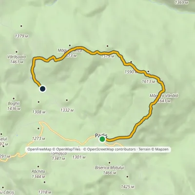 EasyOne-dayMarkedPadiș Vărășoaia SaddleElevation profile1 259–1 641 m8.9 kmascent 371 m≈ 3 h walkingunder 1 km from the centre
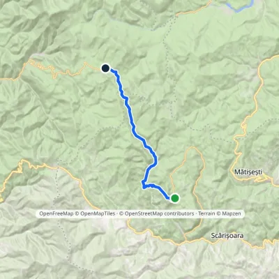 ModerateTwo-dayMarkedGhețar PadișElevation profile821–1 354 m18.3 kmascent 690 m≈ 6 h walkingunder 1 km from the centre
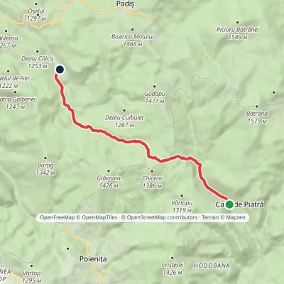 EasyOne-dayMarkedCasa de Piatră Glăvoi MeadowElevation profile1 026–1 302 m9.2 kmascent 304 m≈ 3 h walking3.1 km from the centre
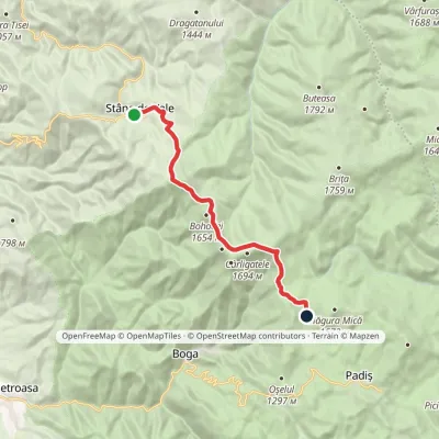 ModerateOne-dayMarkedStâna de Vale Vărășoaia SaddleElevation profile1 088–1 654 m14.1 kmascent 738 m≈ 5 h walking3.3 km from the centre
Peaks nearby
All peaks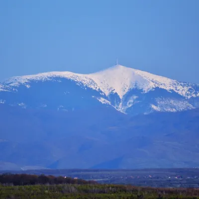 PeakCucurbăta MareBâlcaltitude 1 849 m18 km from the centre3 trails to the topCucurbăta Mare (Romanian: Vârful Cucurbăta Mare or Curcubăta Mare; also Bihor Peak, Romanian: Vârful Bihor; Hungarian: Nagy-Bihar) is the highest summit of the Bihor...
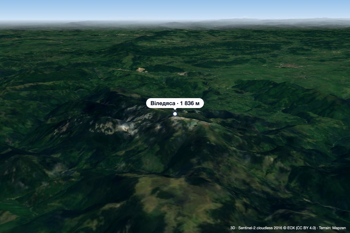 PeakVlădeasaRogojelaltitude 1 836 m19 km from the centreVlădeasa (Romanian: Vârful Vlădeasa, Hungarian: Vigyázó-csúcs or Vlegyásza-csúcs) is the highest summit of the Vlădeasa Massif in the Apuseni Mountains (Western...
Huts, shelters and springs nearby
Getting there from Ukraine
Border crossings
- Porubne – Siret — road and pedestrian, 24/7
- Diakivtsi – Racovăț — road and pedestrian, 24/7 No freight traffic.
- Krasnoilsk – Vicovu de Sus — road and pedestrian, 08:00–20:00 Cars up to 3.5 t and pedestrians only; not 24/7.
- Solotvyno – Sighetu Marmației — road and pedestrian, 24/7 Passenger traffic only: vehicles up to 3.5 t with up to 9 seats, pedestrians.
- Diakove – Halmeu — road, 24/7 No pedestrian crossing.
By car
Rakhiv – Cluj-Napoca ≈219 km, ≈3 h 44 min (via Solotvyno – Sighetu Marmației); Ivano-Frankivsk – Cluj-Napoca ≈353 km, ≈6 h 04 min (via Solotvyno – Sighetu Marmației); Chernivtsi – Cluj-Napoca ≈343 km, ≈6 h 28 min (via Krasnoilsk – Vicovu de Sus). Times without border queues, our road routing (GraphHopper, OSM).
Checked 03.11.2026; border crossing hours and timetables change — check before you travel.
