Revúca District
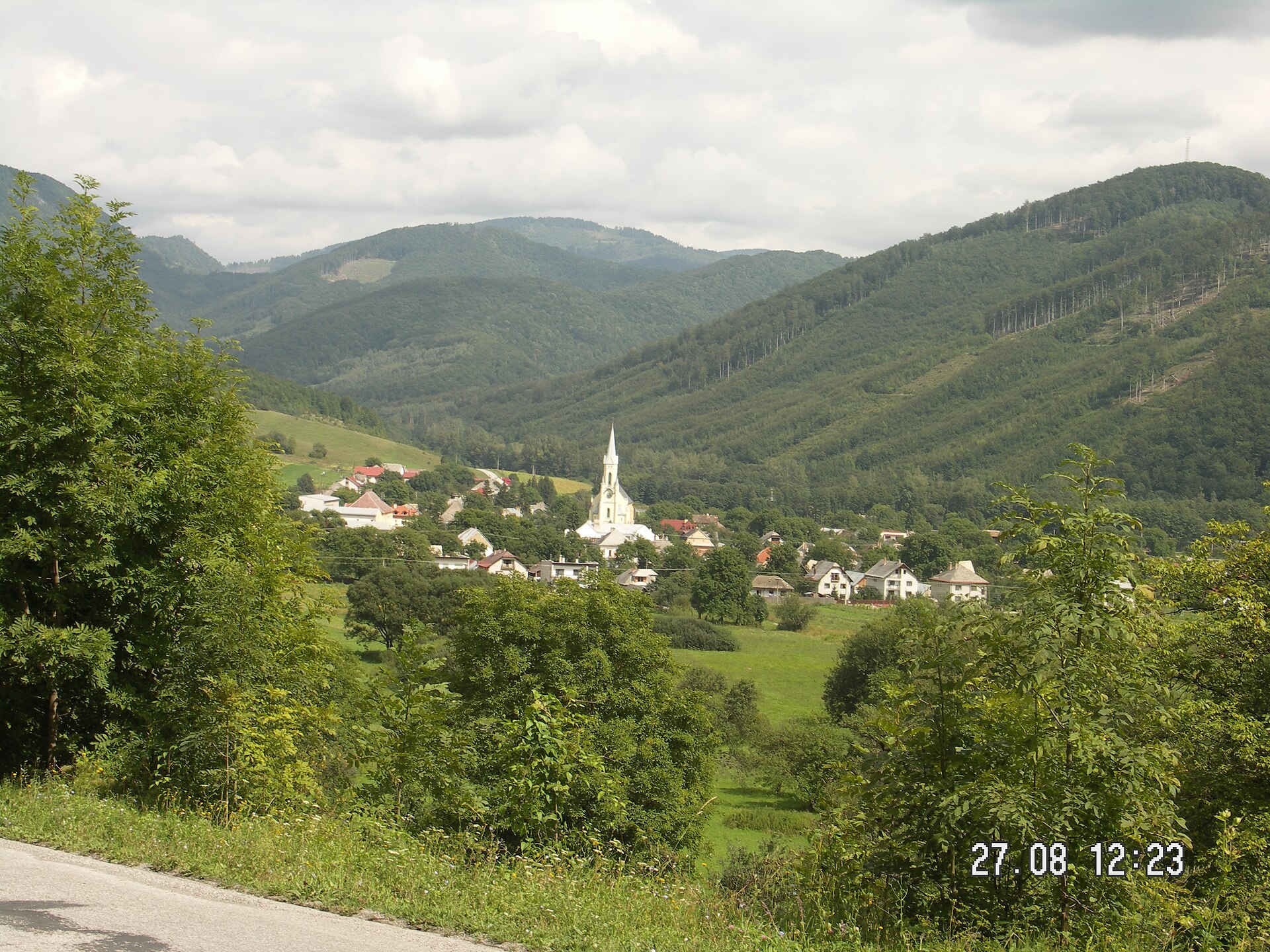
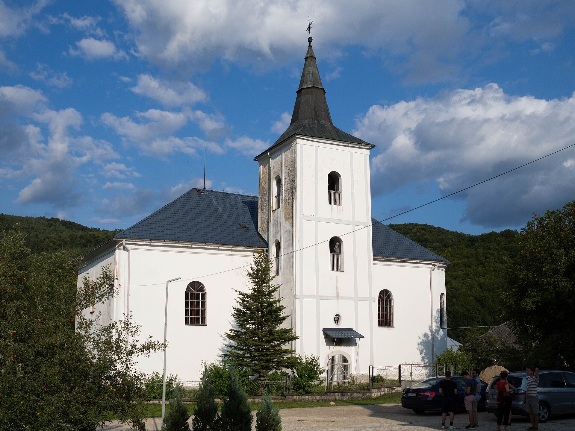
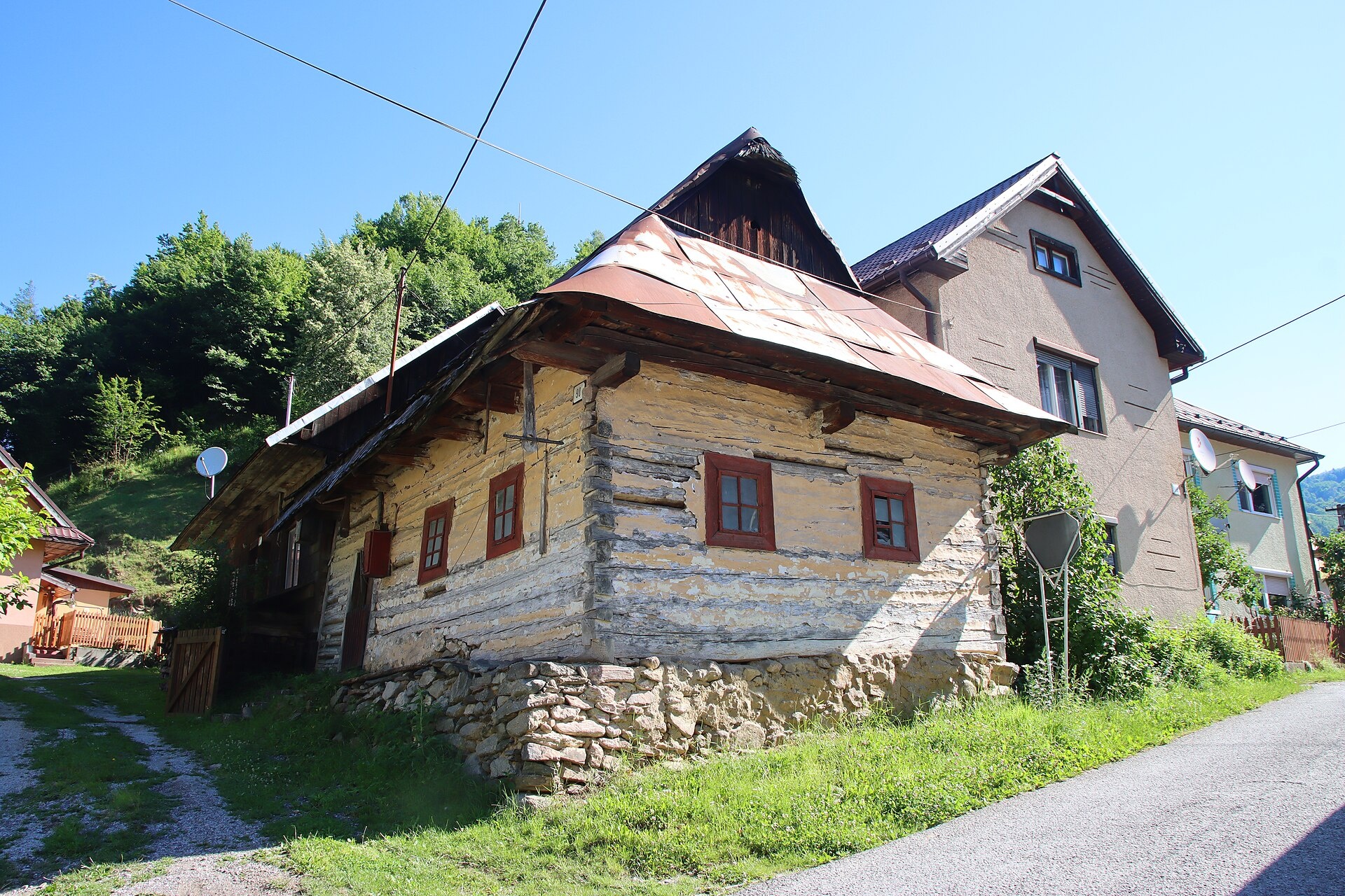
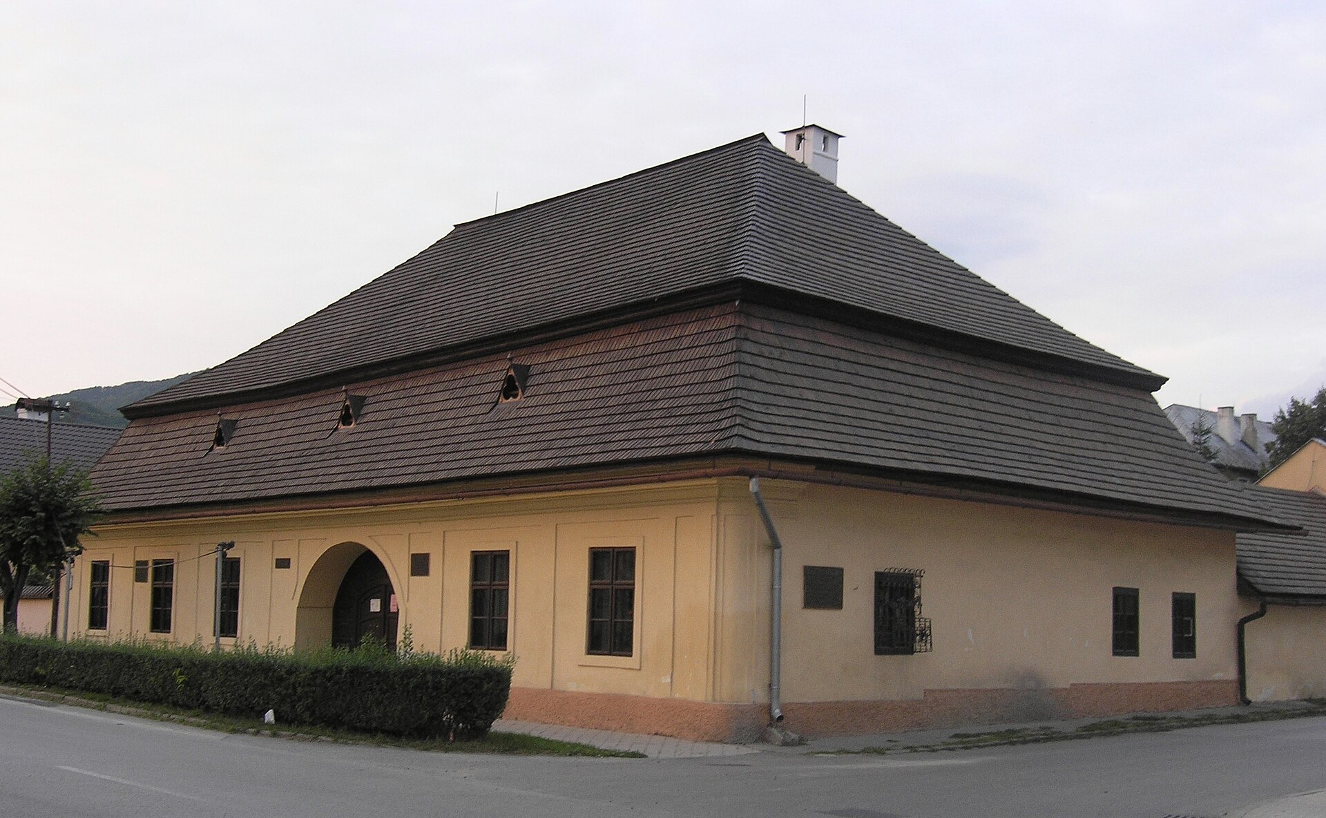
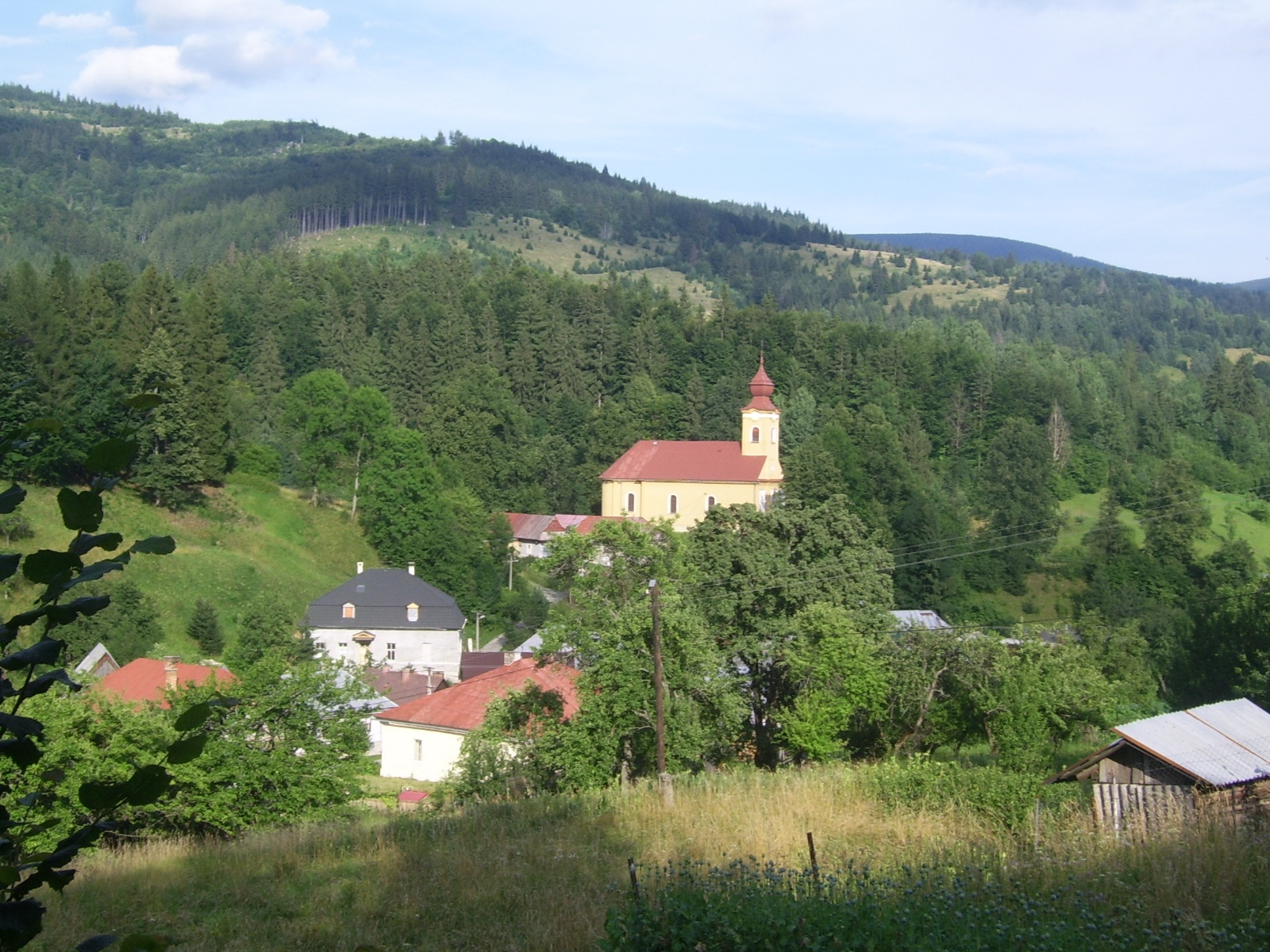
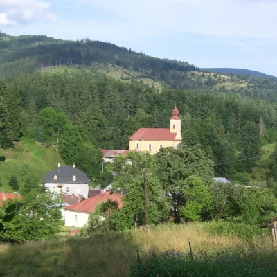
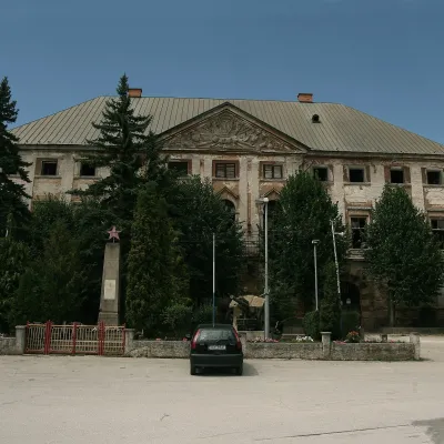
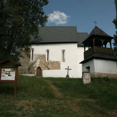
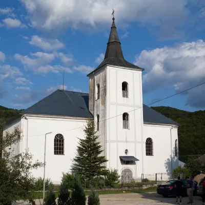
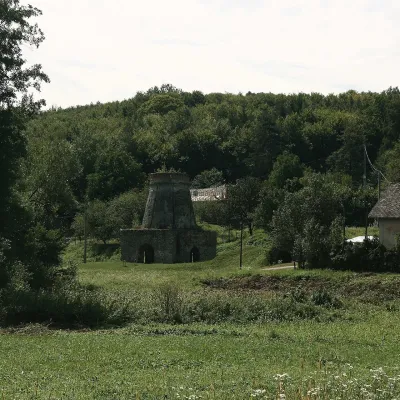
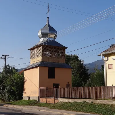
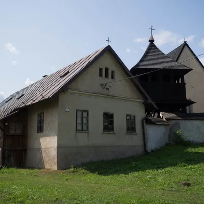
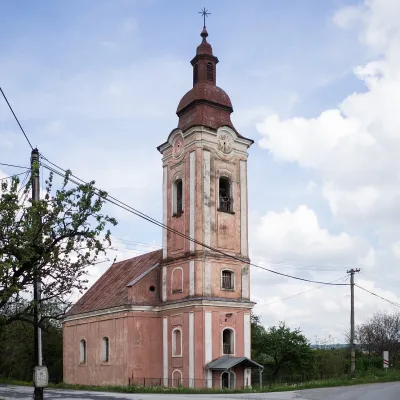
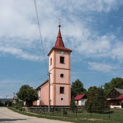
Photos: Muráň (Jozef Gafrik III., Public domain); Ratkovské Bystré (David Raška, CC BY-SA 4.0); Muránska Zdychava (Draceane, CC BY-SA 4.0); Revúca (Kwakinek architect unknown, CC BY-SA 3.0); Muránska Huta (Beroesz, CC BY-SA 3.0)
Revúca District is an administrative district in the Banská Bystrica Region of central Slovakia. The district seat is the town of Revúca, which is an important industrial centre of the region. Until 1918, the area was part of the historical Hungarian county of Gemer Malohont. The district consists of 42 municipalities, three of which have town status. Mining, especially of magnesite, and engineering industry are developed here.
The district features the Bodva Hills, Jelšava Karst, and Koniarska Plain. Forests cover a significant part of the area, and the Muránska planina National Park is one of the main natural attractions of the district.
Karpaty.rocks offers numerous objects in the district, with the largest numbers in Muráň, Muránska Zdychava, Revúca, Muránska Huta, Ratkovské Bystré, Jelšava, and Rákoš. Popular trails include Rudná magistrála: Kadák – Stolica, Červená Skala – Muránska Zdychava, and the Pavol Jozef Šafárik Trail. Notable sights are Muráň Castle and Veľká Lúka in Muránska planina, with Stolica as a prominent peak. Visitors can also explore the Blueberry Garden in Ratkovské Bystré.
Getting there from Ukraine
From Uzhhorod ≈182 km, ≈2 h 45 min without queues: Uzhhorod – Vyšné Nemecké → I/19 via Sobrance and Michalovce to Košice → D1 motorway via Prešov to the exit near Levoča → road 533 to Spišská Nová Ves (≈177 km, ≈2 h 30 min from the border). From Lviv via Uzhok and Ubľa ≈407 km, ≈6 h 40 min; through Poland (Kraków – Nowy Targ) ≈496 km, ≈6 h 20 min. The D1 requires an e-vignette (eznamka.sk).
Sources: Wikipedia, Wikidata, OpenStreetMap, Karpaty.rocks data.
What's nearby
Towns and villages
Getting there from Ukraine
Border crossings
- Uzhhorod – Vyšné Nemecké — road, 24/7
- Malyi Bereznyi – Ubľa — road, 24/7 For cars and buses; pedestrians not confirmed by the Ukrainian border service, lorries up to 3.5 t.
- Mali Selmentsi – Veľké Slemence (pedestrian) — pedestrian, 09:00–21:00 Kyiv time Pedestrians and cyclists only; inconvenient for the Tatras without onward transport.
- Chop – Čierna nad Tisou (rail) — rail, 24/7
By car
From Uzhhorod ≈182 km, ≈2 h 45 min without queues: Uzhhorod – Vyšné Nemecké → I/19 via Sobrance and Michalovce to Košice → D1 motorway via Prešov to the exit near Levoča → road 533 to Spišská Nová Ves (≈177 km, ≈2 h 30 min from the border). From Lviv via Uzhok and Ubľa ≈407 km, ≈6 h 40 min; through Poland (Kraków – Nowy Targ) ≈496 km, ≈6 h 20 min. The D1 requires an e-vignette (eznamka.sk).
Checked 23.10.2026; border crossing hours and timetables change — check before you travel.
