Tâmpa
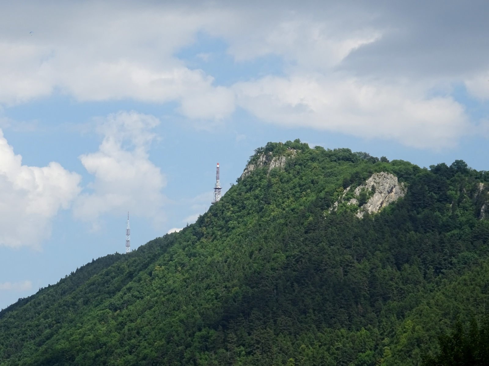
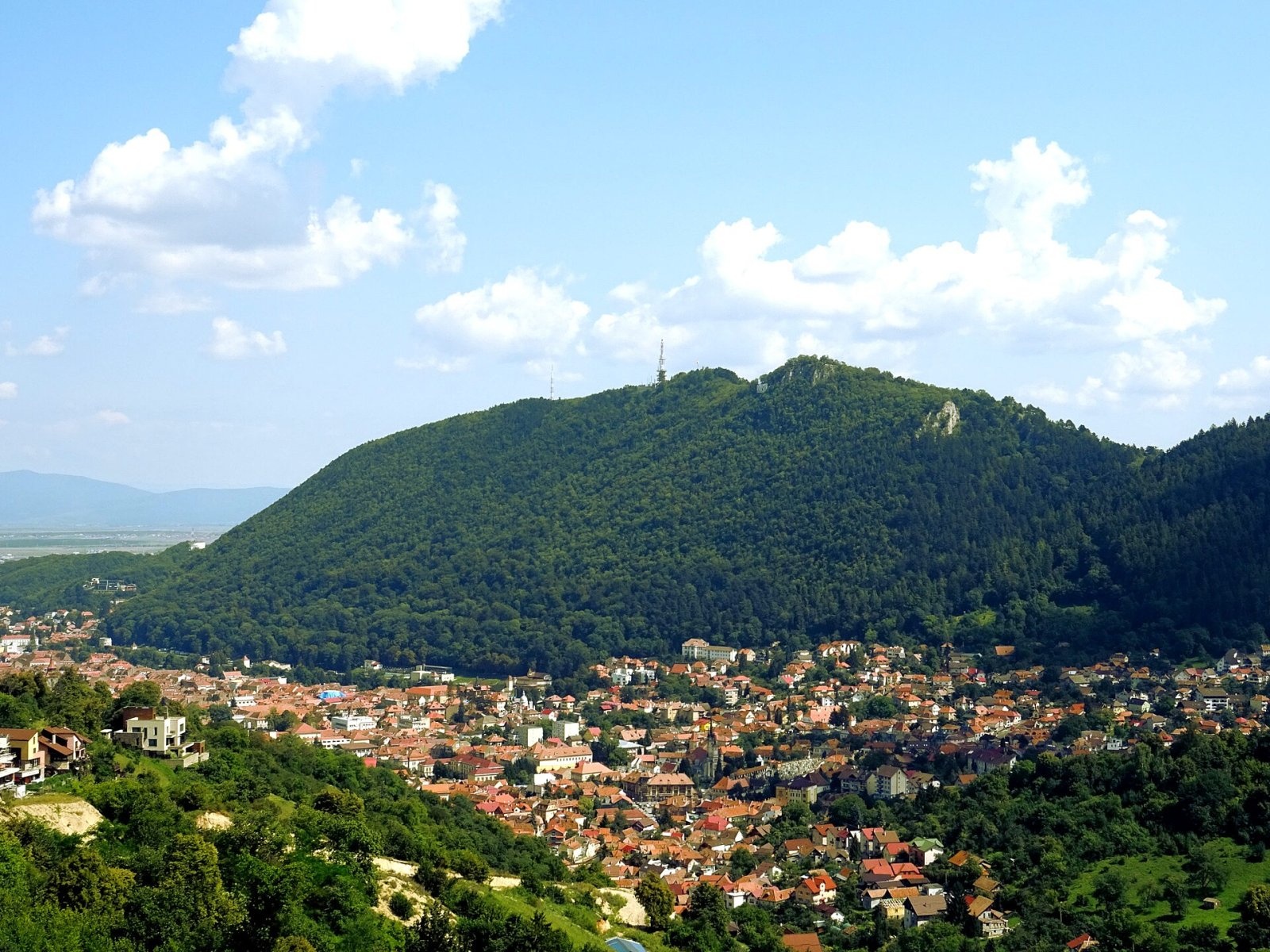
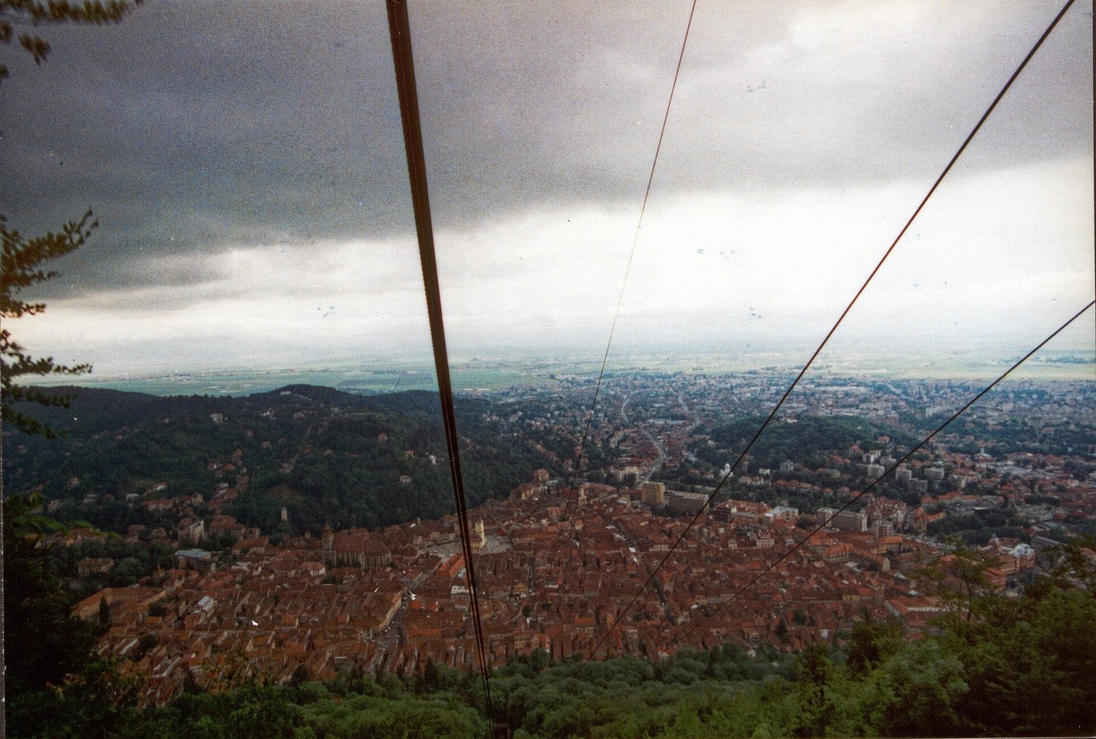
Tâmpa (German Zinne, Hungarian Cenk) is the city mountain of Brașov, 960 m high, almost entirely surrounded by the city and rising about 400 m above it. Geologically it belongs to the Postăvarul Massif (Bârsei Mountains), where the Eastern and Southern Carpathians meet: English Wikipedia places it either in the southern Eastern Carpathians or in the Curvature Carpathians. It is built mostly of limestone, and its steep northern face rises straight above the old town.
Most of the mountain – about 150 ha – is a nature reserve established in 1980 (IUCN category IV). Tâmpa is both a natural landmark and a chronicle of Brașov: the medieval Brassovia fortress once stood on its summit, and today a large illuminated “BRAȘOV” sign on its slope can be seen from all over the city.
How to get there / routes
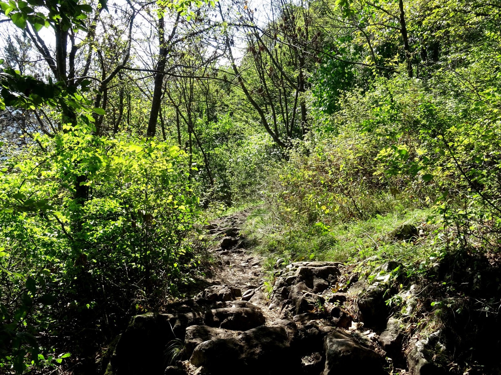
The shortest footpath is the Serpentine Road (Drumul Serpentinelor), marked with a red triangle. It starts at the Drapers' Bastion in Tiberiu Brediceanu park, winds through the forest under the cable-car line and leads to the summit. The serpentines were cut in 1837 by Brașov's forest administration; according to Munții Noștri, the climb takes about 2–2.5 hours with some 400 m of ascent, and the best view of the old town is from the upper end of the 16th bend.
The second route, a yellow triangle, climbs from the same bastion by Gabony's Stairs – concrete steps built in 1930–1931 – past viewpoints and the steppe-like Tâmpa meadow, crosses the summit and descends via the Tâmpa saddle to the Cetății valley. In winter the steep stairs are hard going. A blue stripe from the city centre to Poiana lui Stechil also passes close to the summit, through the Tâmpa saddle. If you prefer not to walk, a cable car takes you from the foot of the mountain to the panoramic restaurant on the crest in under three minutes.
What you see from the summit
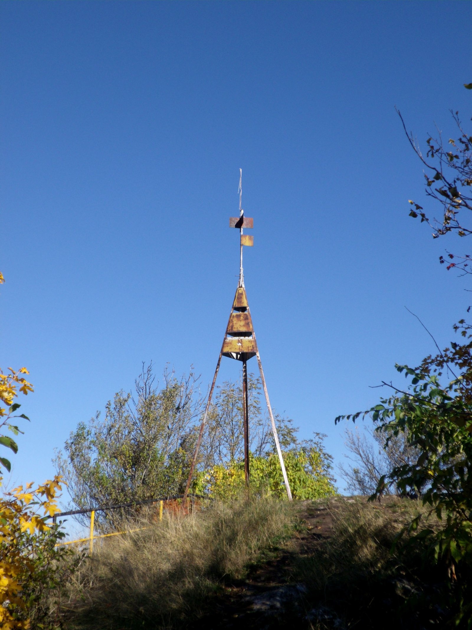
From the crest you see almost all of Brașov: the Council Square, the Black Church and the red roofs of the old town. According to Munții Noștri, beyond the city lies Țara Bârsei (the Bârsa basin), framed by the Perșani and Baraolt mountains, and from the edge of the meadow you can see Piatra Mare, Postăvaru and even Ciucaș. Next to the survey marker on the summit itself, fragments of the Brassovia walls and information boards about the reserve and the fortress remain.
Nature and history
The reserve protects rare plants of the limestone slopes and wildlife: bears occur here, there are many birds, and the butterflies amount to about 35% of all Romanian species. The oldest human traces, according to English Wikipedia, date from Dacian times – archaeologists found a bone pit linked to a pagan cult.
The Brassovia fortress was probably built or fortified by the Teutonic Knights (1212–1218). It was never taken by force: in 1421 it passed to the Ottomans by treaty, and after it was recovered the townspeople demolished it and used the stone for the city walls. Later Tâmpa carried a wooden cross (1696), the Catholic chapel of St Leonard – hence the German name Kapellenberg – a Schützenhaus shooting range and, from 1896, a Hungarian millennium monument with a mounted archer, whose remains the Romanian army blew up in 1916. The Béthlen restaurant on the top burned down in 1977, a marble cross was raised in 2001 and the lit “Brașov” sign was restored in 2006.
Safety, season and rules
The climb is technically easy, but the paths are steep and slippery after rain, and in winter snow and ice make Gabony's Stairs difficult. Do not walk in the dark; take a torch and water. Tâmpa is a nature reserve: stay on the paths and leave the plants alone.
Bears are common in the forests around Brașov and come close to the city's edges. Keep to marked paths, talk as you walk, leave no food or litter, keep dogs on a leash and never approach cubs. In an emergency call the national dispatch 0SALVAMONT – 0725 826 668 or 112; advice on animal encounters is on the Salvamont România website.
Photos: Whitepixels, CC0; Whitepixels, CC0; Whitepixels, CC0; Whitepixels, CC0; Txllxt TxllxT, CC BY-SA 4.0; Whitepixels, CC0; Whitepixels, CC0; Lipót Kurcz, Public domain — Wikimedia Commons.
Getting there from Ukraine
Border crossings
- Porubne – Siret — road and pedestrian, 24/7
- Diakivtsi – Racovăț — road and pedestrian, 24/7 No freight traffic.
- Krasnoilsk – Vicovu de Sus — road and pedestrian, 08:00–20:00 Cars up to 3.5 t and pedestrians only; not 24/7.
- Solotvyno – Sighetu Marmației — road and pedestrian, 24/7 Passenger traffic only: vehicles up to 3.5 t with up to 9 seats, pedestrians.
- Diakove – Halmeu — road, 24/7 No pedestrian crossing.
By car
Chernivtsi – Brașov ≈395 km, ≈7 h 03 min (via Diakivtsi – Racovăț); Rakhiv – Brașov ≈419 km, ≈7 h 24 min (via Solotvyno – Sighetu Marmației); Uzhhorod – Brașov ≈522 km, ≈8 h 39 min (via Diakove – Halmeu). Times without border queues, our road routing (GraphHopper, OSM).
Checked 03.11.2026; border crossing hours and timetables change — check before you travel.
Location on the map
Water and shelter nearby
- Ion Tap510 m · Not verified · 739 m
- Drinking water below Tâmpa (north slope), 618 m540 m · Not verified · 618 m
- Christian Kertsch Tap640 m · Has water · 627 m
- Drinking water below Tâmpa Mică (south-east slope)830 m · Not verified · 711 m
- Drinking water below Tâmpa Mică (south slope)950 m · Not verified · 782 m
- Drinking water below Tâmpa Mică (west slope)1000 m · Not verified · 608 m
- Drinking water below Tâmpa (north slope), 579 m1.2 km · Not verified · 579 m
- Drinking water below Dealul Warthe1.3 km · Has water · 585 m
- Dreptății Well1.3 km · Not verified · 767 m
- Drinking water below Stechil (north-east slope)1.3 km · Not verified · 715 m
- Puțul lui Bărbier Tap1.5 km · Not verified · 662 m
- Honterus Spring1.7 km · Not verified · 693 m
- Spring below Stechil1.7 km · Not verified · 745 m
- Sfânta Treime Well2 km · Not verified · 662 m
- Drinking water below Stechil (south-east slope)2.4 km · Not verified · 821 m
- Drinking water below Stechil (south slope), 877 m2.8 km · Not verified · 877 m
Comments
Nearby attractions
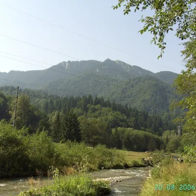 PeakPostăvarulPoiana Brașovaltitude 1 799 m7.5 km from TâmpaPostăvarul (Romanian Vârful Postăvarul, popularly Postăvaru, German Schuler, Hungarian Keresztényhavas) is a 1,799 m summit, the highest peak of the small Postăvarul...
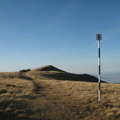 PeakPiatra MareTimișu de Josaltitude 1 843 m9.9 km from TâmpaPiatra Mare (Romanian Vârful Piatra Mare, “the Great Stone”, German Hohenstein, Hungarian Nagykőhavas) is the highest summit of the small massif of the same name south...
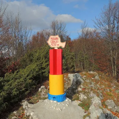 PeakMăgura CodleiCodleaaltitude 1 294 m17 km from TâmpaMăgura Codlei (German Zeidner Berg, Hungarian Feketehegy) is a forested mountain 1,294 m high in the Burzenland (Romanian Țara Bârsei), in Brașov County.
