Măgura Codlei
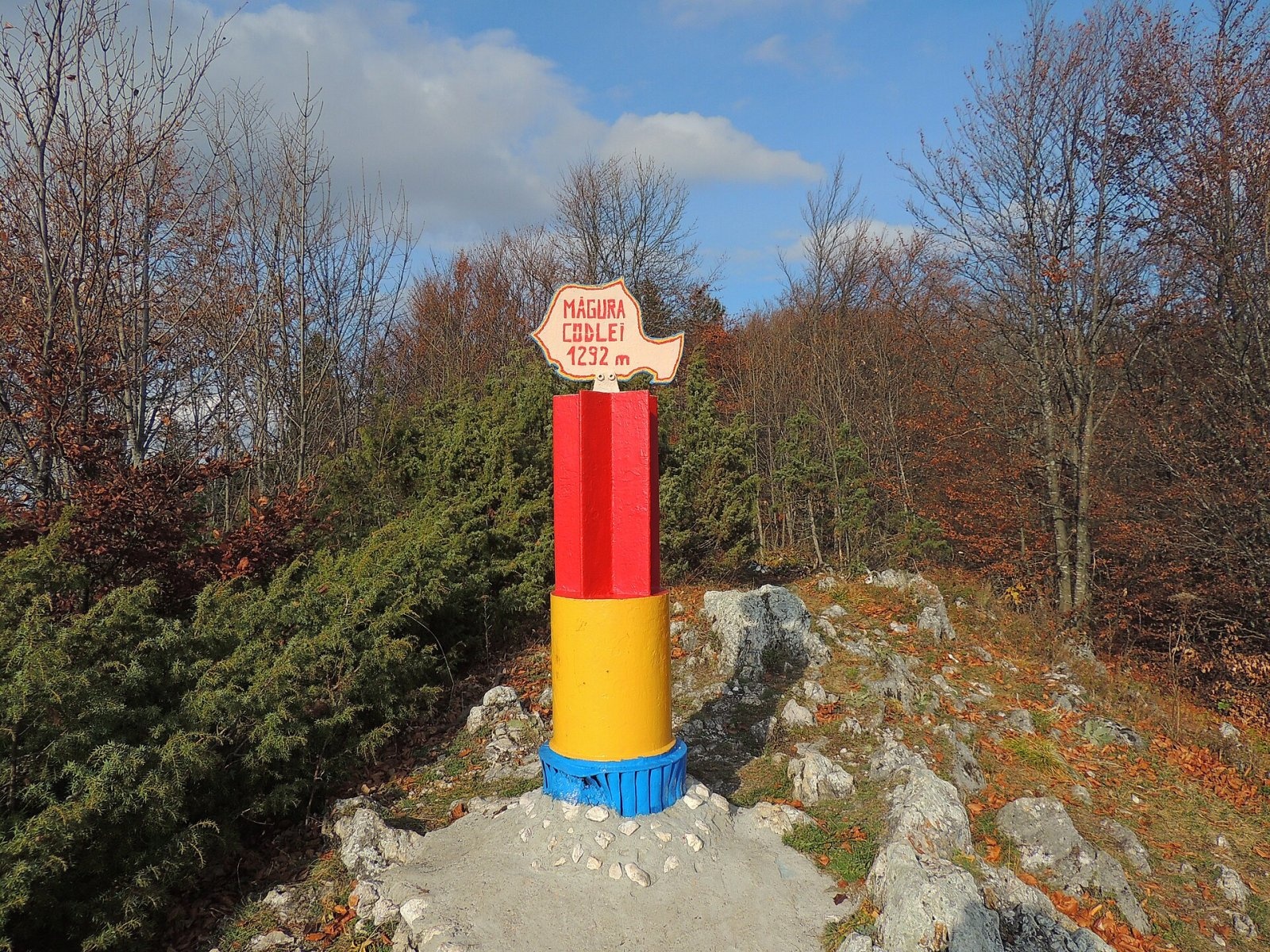
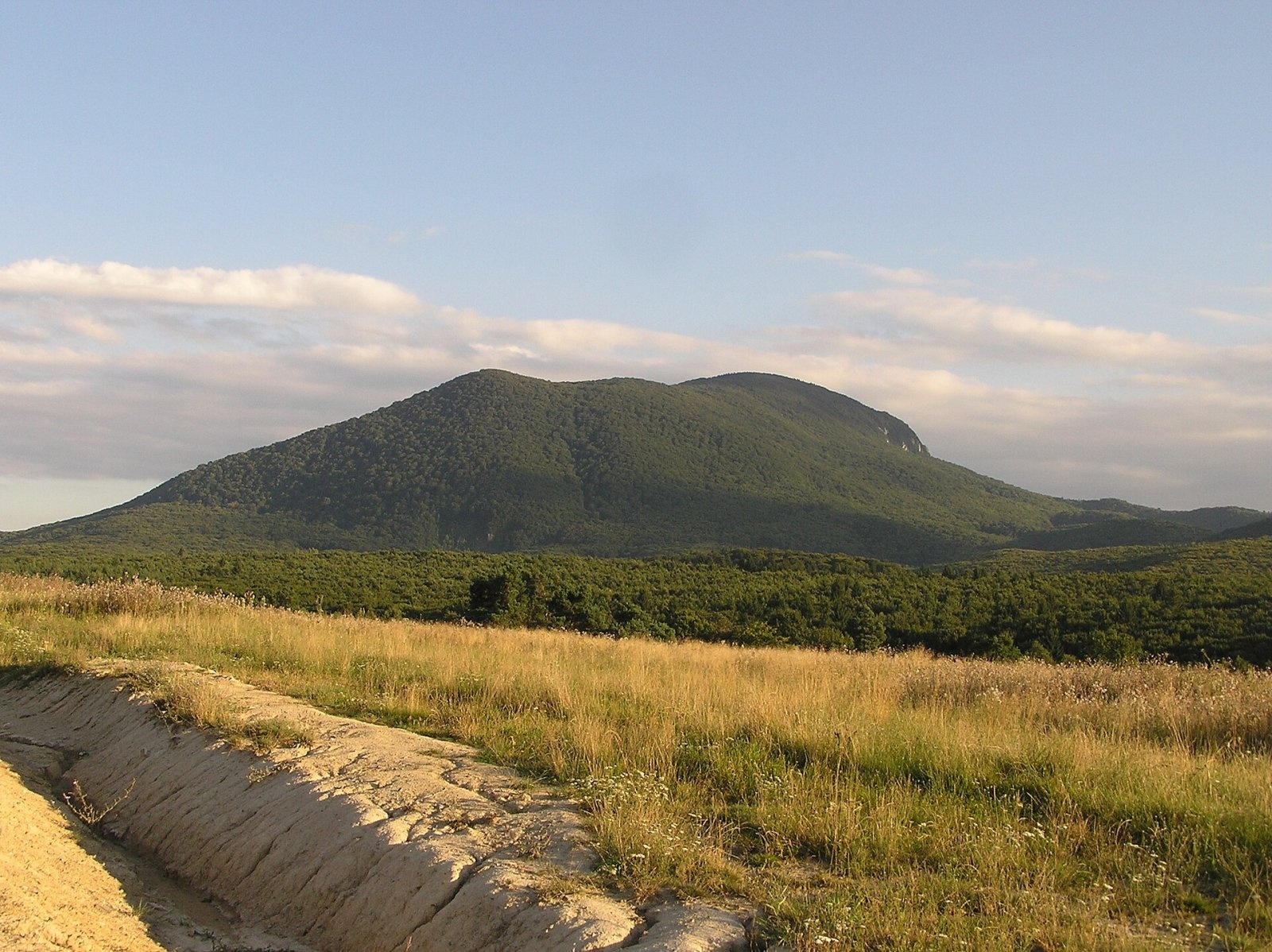
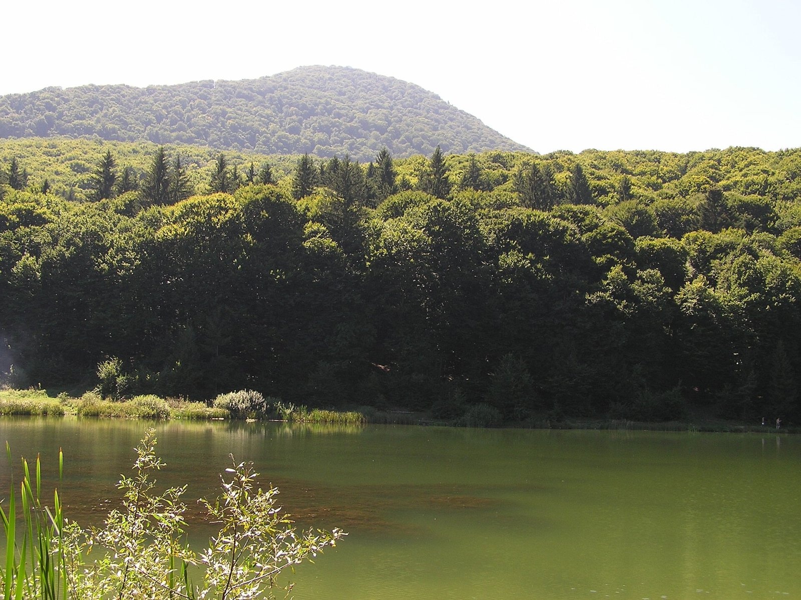
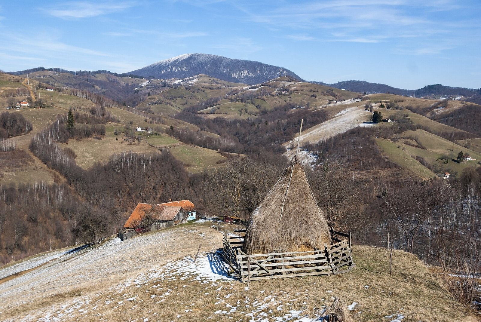
Măgura Codlei (German Zeidner Berg, Hungarian Feketehegy) is a forested mountain 1,294 m high in the Burzenland (Romanian Țara Bârsei), in Brașov County. Romanian Wikipedia counts it among the Curvature Carpathians, part of the Eastern Carpathians. The name comes from the small town of Codlea (German Zeiden), which lies at the southern foot of the mountain, about 4 km from the summit.
According to German Wikipedia it is one of the most striking mountains of the Burzenland. It rises on the south-eastern edge of the Transylvanian Basin; the Perșani Mountains adjoin it to the north-west, the Southern Carpathians lie to the west and south, and the nearest large massif, to the south-west, is Piatra Craiului. South-west of the mountain the farmsteads of Holbav village (about 6 km) are scattered over the hills.
How to get there / routes
Three waymarked paths lead to the summit from Codlea: the red triangle via Mărul Dulce, the yellow triangle via Piatra Albă and the red dot from the Codlea tourist complex, which also passes the ruins of the Black Castle. German Wikipedia warns that the rounded wooded ridge hides the steepness of its slopes, so the difficulty is easily underestimated; from the centre of Codlea to the summit takes about 2–2.5 hours.
Just below the summit there is a roomy cave, and almost at the top a forest clearing that the people of Codlea call the Kalwer-Wiese. There are other clearings around the mountain; a forest road leads to one of them past a disused quarry, and on another, the Burgau, wild garlic grows in spring. From there you can climb to the remains of the Black Castle.
What you see from the summit
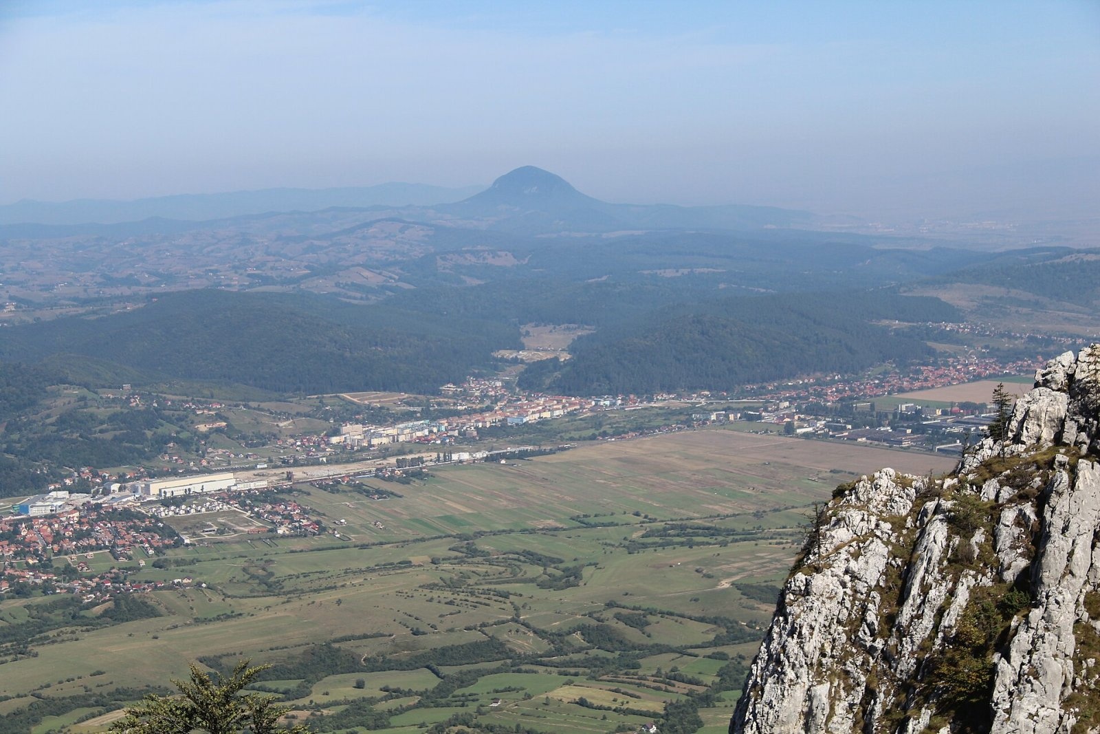
The summit is covered mostly with deciduous trees, so views open only at some spots: over the Burzenland, Holbav village and Piatra Craiului. From the Mittagsstein rock (towards Codlea) you look east to Codlea with its greenhouses, the Bârsa valley, Ghimbav and Brașov, and from the Ritterfelsen on the western side towards Făgăraș.
Nature and history
The Black Castle (Romanian Cetatea Neagră) stands on a 980 m knoll below the mountain. It was first mentioned in 1265 as “castrum Feketewholum”; of the fortification, built at the time of the Teutonic Order in the Burzenland (1211–1225), only ruins remain. At the source of the Goldbach (Pârâul de Aur), whose water leaves the rock at 18 °C, the Codlea forest baths were laid out in 1903–1904.
In the Burzenland the mountain is seen as a weather prophet. A local saying goes: if the “Zeidner” wears a hat, the weather will be fine; if it wears a collar, you can risk it; if it has a sword, rain is coming. A poem about the mountain from 1904 by an unknown author was found in the archive of the Lutheran church in Codlea.
Safety, season and rules
The mountain is low and wooded, but its slopes are steep and the paths are slippery after rain. Salvamont advises checking the forecast for the next 24 hours, not going alone, telling family your route, carrying a map, compass, torch, enough water and a charged phone, and leaving the open ridge at once if a thunderstorm comes. In winter snow in the forest hides the waymarks. The sources give no specific visiting rules (reserve or park) – check them locally before you go.
Bears are common in these mountains. Stay on the marked paths, call out as you walk, do not hike in the evening or at night, do not keep food in your tent and store it away from your camp. Sheepdogs near sheepfolds may rush at hikers – do not run, stop and shield yourself with your rucksack. In an emergency call the national dispatch 0SALVAMONT – 0725 826 668 or 112; advice on animal encounters is on the Salvamont România website.
Photos: Xulescu g, CC BY-SA 4.0; L.Kenzel, CC BY 3.0; L.Kenzel, CC BY 3.0; GerritR, CC BY-SA 4.0; Ioan Bodean, CC BY-SA 4.0; L.Kenzel, CC BY 3.0 — Wikimedia Commons.
Getting there from Ukraine
Border crossings
- Porubne – Siret — road and pedestrian, 24/7
- Diakivtsi – Racovăț — road and pedestrian, 24/7 No freight traffic.
- Krasnoilsk – Vicovu de Sus — road and pedestrian, 08:00–20:00 Cars up to 3.5 t and pedestrians only; not 24/7.
- Solotvyno – Sighetu Marmației — road and pedestrian, 24/7 Passenger traffic only: vehicles up to 3.5 t with up to 9 seats, pedestrians.
- Diakove – Halmeu — road, 24/7 No pedestrian crossing.
By car
Chernivtsi – Brașov ≈395 km, ≈7 h 03 min (via Diakivtsi – Racovăț); Rakhiv – Brașov ≈419 km, ≈7 h 24 min (via Solotvyno – Sighetu Marmației); Uzhhorod – Brașov ≈522 km, ≈8 h 39 min (via Diakove – Halmeu). Times without border queues, our road routing (GraphHopper, OSM).
Checked 03.11.2026; border crossing hours and timetables change — check before you travel.
Location on the map
Water and shelter nearby
- Spring below Măgura Codlei (east slope)900 m · Not verified · 834 m
- Spring below Măgura Codlei (north-west slope)940 m · Not verified · 953 m
Comments
Nearby attractions
 PeakTâmpaBrașovaltitude 960 m17 km from Măgura CodleiTâmpa (German Zinne, Hungarian Cenk) is the city mountain of Brașov, 960 m high, almost entirely surrounded by the city and rising about 400 m above it.
 PeakPostăvarulPoiana Brașovaltitude 1 799 m20 km from Măgura CodleiPostăvarul (Romanian Vârful Postăvarul, popularly Postăvaru, German Schuler, Hungarian Keresztényhavas) is a 1,799 m summit, the highest peak of the small Postăvarul...
 PeakPiatra MareTimișu de Josaltitude 1 843 m25 km from Măgura CodleiPiatra Mare (Romanian Vârful Piatra Mare, “the Great Stone”, German Hohenstein, Hungarian Nagykőhavas) is the highest summit of the small massif of the same name south...
