Svätojurský náučný chodník
Trail map
Route, springs and shelters: © OpenStreetMap contributors (ODbL) · elevation: Copernicus DEM © DLR e.V., © Airbus DS · Data & licences
About the trail
Route Svätojurský náučný chodník. Has green marking (local route №1113N, KST;Mesto Svätý Jur). Waymarking data: OpenStreetMap (© OpenStreetMap contributors, ODbL).
Officially marked local tourist route No. 1113N. The marking is green, the sign is a diagonal stripe on a white background. Marked and maintained by: KST; Mesto Svätý Jur. Length of the route — 6 km. Location: mountain range — Little Carpathians, Slovakia.
Attention: part of the route has not yet been mapped in OpenStreetMap, so the line on the map has gaps. On the ground, orient yourself by the marking signs.
At a glance
A short route of 6 km with 265 m of ascent. Estimated walking time: about 2 h, not counting stops. Difficulty: easy. Waymarking: green.
Route stages
- 0–2 kmGentle ups and downs at 180–250 m
- 2–3 kmClimb of 120 m (up to 339 m)
- 3–6 kmGentle ups and downs at 240–350 m
Steepest kilometre: km 2–3, a climb of 110 m (≈12%).
Water and overnight stays
Springs near the trail: at km 1.5, 4 and 5.
When to go
The route can be walked most of the year; it is most comfortable from April to October.
Getting there
FAQ
- How long does the route take?
- Estimated walking time: about 2 h, not counting stops.
- Is there water on the route?
- Springs near the trail: at km 1.5, 4 and 5.
Water and shelter on the route
- Spring below Sviní les (north-east slope)km 1.7 from the start · Not verified · 204 m
- Spring below Sviní les (north-west slope)km 4.2 from the start · Not verified · 285 m
- Spring below Sviní les (west slope)km 5.4 from the start · Not verified · 330 m
- Spring below Sviní les (south slope)km 6.2 from the start · Not verified · 252 m
Comments
Trails nearby
All trails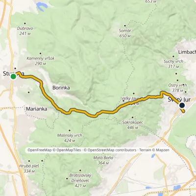 ModerateOne-dayMarkedSvätý Jur, station Stupava, manorElevation profile138–547 m17.9 kmascent 400 m≈ 5.5 h walking
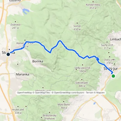 ModerateTwo-dayMarkedSvätý Jur, station Stupava, manor (blue)Elevation profile138–545 m19.5 kmascent 562 m≈ 6 h walking
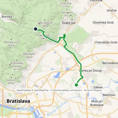 ModerateOne-dayMarkedŠtefánikova mohyla Biely krížElevation profile129–509 m16.9 kmascent 405 m≈ 5 h walking
Craft nearby
All craft places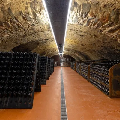 Wine & tastingsVIAJUR winery in Svätý Jur: tastings in the Pálffy cellarsunder 1 km from the trailWine in old cellars on the edge of Bratislava Svätý Jur is an old wine town at the very foot of the Little Carpathians, just beyond the Bratislava city limits.
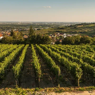 Wine & tastingsDubovský & Grančič Winery, Svätý Jur: tastings and sektunder 1 km from the trailFrom sixty ares to “Winemaker of the Year” Svätý Jur is an old wine town on the southern slopes of the Little Carpathians, just beyond the Bratislava city limits.
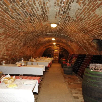 Wine & tastingsHACAJ winery in Pezinok: sparkling wine in a 300-year-old cellar5.7 km from the trailPezinok is the centre of the Little Carpathian Wine Route, a town where winegrowers’ houses with deep cellars line the old streets.
 Crafts & workshopsSlovak Folk Majolica in Modra: pottery tour and painting11 km from the trailModra is a small wine town on the eastern slopes of the Little Carpathians, half an hour’s drive from Bratislava.
 Wine & tastingsJuran z Modry winery: tastings in a Modra wine shop12 km from the trailModra is one of the main wine towns of the Little Carpathians: every other courtyard has its own cellar, and rows of vines climb the slopes above the town.
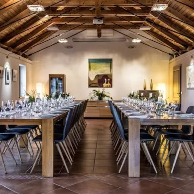 Wine & tastingsKarpatská Perla winery in Šenkvice: tastings and cellar12 km from the trailFrom a home cellar to Winery of the Year Šenkvice is a wine village on the plain below the eastern slopes of the Little Carpathians, between Pezinok and Modra.
