Login Add Map Nearby Booking +38 (073) 757-83-03
UKENPL
Karpaty.Rocks

Guide to the Ukrainian Carpathians

Carpathian map3D Trails, stays and peaks on one map Explore the Carpathians Hike a trail in the 3D game Explore the Carpathians in 3D All our coordinates in one scene

What are you looking for?

Accommodation 731 Trails 813 Peaks 255 Lakes 21 Waterfalls 42 Mountain meadows 49 Museums 153 Places of interest 1 249 Craft Wellness 105
Destinations & regionsWeather in the CarpathiansSprings of the CarpathiansMountain huts and shelters of the CarpathiansFishing in the CarpathiansRecreationBlog

Own a place to stay in the Carpathians?

Add a place
Account Hotel booking+38 (073) 757-83-03
Language
UKENPL

© 2010–2026 Karpaty.Rocks

  • Accommodation
  • Trails
  • Peaks
  • Waterfalls
  • Meadows
  • Museums
  • Sights
  • Craft
  • Wellness

Search: Yaremche

AllTrails 43Peaks 6Sights 21Craft 10Accommodation 62Blog 2

Filters

Filters 1Clear all
4
3
1
1
Found 6 options
PeaksClear all
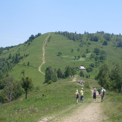
Mount Makovytsia, YaremcheMountain meadow984 mMount Makovytsia, YaremcheYaremche, Ivano-Frankivsk region, UkraineBesides, these mountains have a certain mysticism about them.
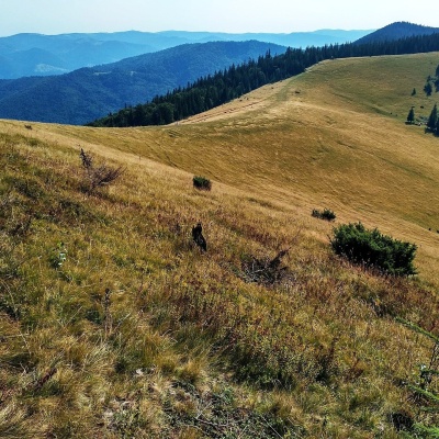
Polonyna Yavirnyk (Yaremche)Mountain meadow1 200 mPolonyna Yavirnyk (Yaremche)Yaremche, Ivano-Frankivsk region, UkrainePolonyna Yavirnyk is a large pasture on the south-eastern slopes of the Yavirnyk ridge in the Gorgany, right above Yaremche.
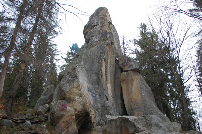
White Stone Rock538 mWhite Stone RockDora, Yaremche, Ivano-Frankivsk region, UkraineThe White Stone Rock is located in the village of Dora in the Carpathians and is one of the most prominent natural attractions in Ukraine.
Polonyna ShchivkaMountain meadow723 mPolonyna ShchivkaYaremche, Ivano-Frankivsk region, UkraineInformation about the meadow The Shchivka meadow has a very good location. Its length is about 700 meters, it has a slight slope, which protects it from strong winds and other weather conditions.
Mount Sinyachka1 400 mMount SinyachkaHiking route to Sinyachka mountain, Ivano-Frankivsk region, UkraineMount Sinyachka is a 1400-meter peak in the Gorgan mountain range of the Ukrainian Carpathians, located in the Nadvirna district of Ivano-Frankivsk region.
Mount Yavirnyk-Gorgan1 467 mMount Yavirnyk-GorganMount Yavirnyk-Gorgan, YaremcheYavirnyk-Gorgan is the highest summit of the Yavirnyk ridge in the south-eastern Gorgany, 1,467 m high. It lies in the Nadvirna district of Ivano-Frankivsk Oblast, between Yaremche, Mykulychyn and...
Pip Ivan · 2028 m Brebeneskul · 2035 m Gutin Tomnatik · 2016 m Turkul · 1933 m Hoverla · 2061 m Petros · 2020 m Bliznytsia · 1883 m

If you go to the Carpathians, then with Karpaty.rocks!

Every Carpathian resort and the most remote mountain villages. Hotels, guest houses and cottages — straight from the owners, no commission. Hiking trails with GPS tracks and elevation profiles, peaks, mountain meadows, waterfalls and lakes, springs and huts. Cultural sights, museums, castles and wooden churches. Craft Carpathians: cheese dairies, wine, honey, crafts and markets. Fishing, wellness, mountain weather and how to get there — and an AI guide to suggest a route, a place to stay and the way.

Trouble in the mountains? Free from any phone

101 112
Hotel booking +38 (073) 757-83-03

Sections

  • Blog
  • Weather in the Carpathians
  • Fishing in the Carpathians
  • Springs of the Carpathians
  • Mountain huts and shelters
  • Holidays in the Carpathians

For the tourist

  • 16 Rules of behavior in the mountains
  • Mountain search and rescue units
  • Near me
  • Explore the Carpathians in 3D
  • Map of the Carpathians
  • Favourites & trip plan
  • 3D hike in the Carpathians
  • Carpathian churches
  • Carpathian castles
  • Carpathian lakes
  • Carpathian rivers
  • Ski resorts
  • One-day trails
  • Tourism in Ukraine

For partners

  • Terms of cooperation
  • Advertising
  • Free listing
  • Add your object
  • Group Hotel Booking

About us

  • About Karpaty.Rocks
  • Contacts
  • Confidentiality agreement
  • Terms of Use

© 2010–2026 Karpaty.Rocks

Karpaty.rocks is a platform where businesses publish their information. We sell nothing. Terms of Use

Українська English Polski

The Chornohora panorama is built from real elevation data (AWS Terrain Tiles).

Carpathian GuideOnline

Ask a question about travelling in the Carpathians to start a conversation.