Rozsypaniec
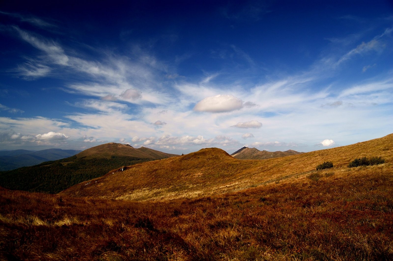
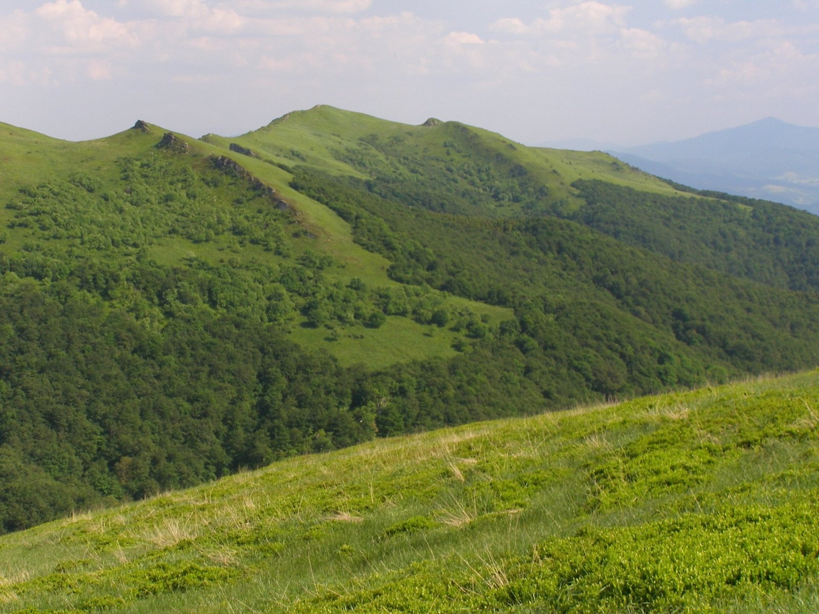
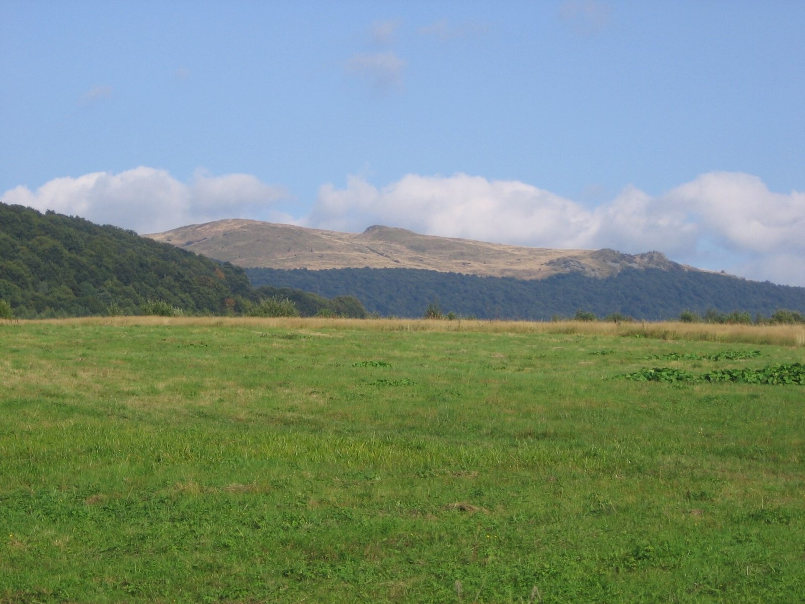
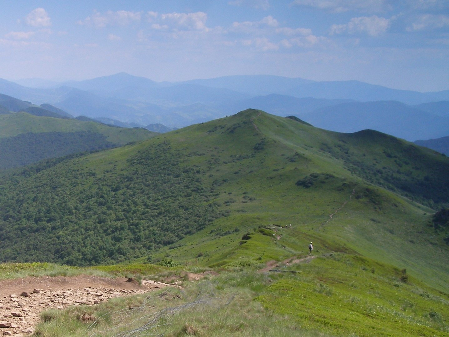
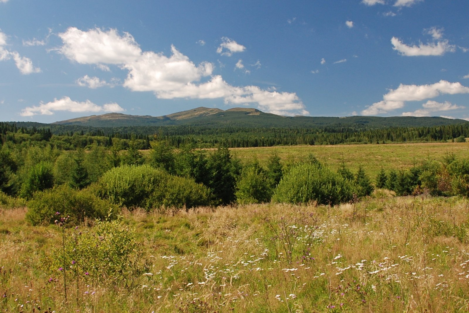
Rozsypaniec (1,280 m, other sources 1,282 m) is a summit in the Western Bieszczady, in the south-eastern part of Bieszczady National Park. It lies in the połonina range on the ridge running from Krzemień to the Bukowska Pass, near which it joins the main Carpathian watershed ridge followed by the Polish–Ukrainian border. On Rozsypaniec itself the ridge runs north–south. To the north the Professor Stanisław Leszczycki Pass (1,224 m) separates it from Halicz (about 1.2 km away), and to the south, roughly a kilometre away, lies the Bukowska Pass (1,107 m) – already on the border with Ukraine. The nearest village is Wołosate, about 6 km away.
The western slope drops to the Wołosatka valley and the eastern slope to the Halicz stream; both belong to the Vistula basin and drain to the Baltic. The southern slope, beyond the watershed, is already in Ukraine and is drained by the Moshka stream, which rises there and flows into the Black Sea basin.
Getting there / trails
The red Main Beskid Trail (part of the European long-distance path E8) crosses the summit on its Wołosate – Bukowska Pass – Rozsypaniec – Halicz – pass below Tarnica section. A road closed to traffic traverses the south-western slope from Wołosate to the Bukowska Pass, and the trail now follows it.
- From Wołosate – about 2 h 50 min up, 2 h 05 min down.
- From Halicz – just 15 min (20 min the other way).
- From the pass below Tarnica via Halicz – about 1 h 50 min (1 h 25 min back).
The park nature trail «Rozsypaniec – Krzemień» starts here and follows the red trail. The usual loop runs from Wołosate on the blue trail to Tarnica, then on the red trail over Halicz and Rozsypaniec to the Bukowska Pass and back to Wołosate.
The view from the summit
From 1,100–1,200 m upwards the slopes of Rozsypaniec are covered by mountain meadow, so the summit offers views of the Tarnica group on the Polish side, the broad border summit of Kinchyk Bukivskyi (Kińczyk Bukowski) and many ranges of the Ukrainian Western and Eastern Bieszczady – up to the highest of them, Pikui (1,405 m).
Nature and history
The mountain owes its name to the many crags characteristically «scattered» (Polish: rozsypane) over its slopes. The summit meadows are part of the great treeless range that stretches from Tarnica to the Bukowska Pass.
The red Main Beskid Trail did not always reach this far: after the war it long ended on Halicz, was extended to Rozsypaniec in 1975 and to Wołosate in 1980.
Safety, season and rules
The ridge from Halicz to the Bukowska Pass crosses open meadows with no shelter from wind, storms or fog; in bad weather it is best to shorten the route. The Bukowska Pass lies on the border with Ukraine – an external EU border. Crossing it outside official checkpoints is prohibited, and the Polish Border Guard may check documents in the border zone. Descend from the ridge only by marked trails on the Polish side.
The summit lies within Bieszczady National Park. Under the park rules in force since 14 April 2026, entry to the trails is charged all year: a ticket costs 11 zł (reduced 5.5 zł, children under 7 free), is sold at the pay points by the trailheads or online, and is valid on all park trails on the same day. Walking is allowed on marked trails only and only between sunrise and sunset – night hiking is prohibited. Dogs are not allowed on the trails (except a few short sections, on a lead and muzzled); flying drones and leaving litter are also banned.
The Bieszczady are covered by the Bieszczady Group of the mountain rescue service GOPR (station in Ustrzyki Górne): call 985 or +48 601 100 300, or the general number 112; installing the «Ratunek» app is recommended. In winter the park advises reporting longer planned routes to the GOPR station in Ustrzyki Górne.
Interesting facts
- Rozsypaniec stands on the divide between two sea basins: water from its western and eastern slopes flows to the Baltic, from its southern slope to the Black Sea.
- It is only a quarter of an hour's walk from Rozsypaniec to Halicz.
Rozsypaniec is part of Połonina Bukowska, a treeless ridge whose highest summit is Halicz. These meadows are the only Polish site of the East Carpathian catchfly (Silene dubia) and one of the few places in the country where Melampyrum saxosum, a cow-wheat endemic to the Eastern Carpathians, grows. The ridge, its plants and the border summit of Kińczyk Bukowski, with border posts No. 173 and remains of First World War trenches, are described in the “Połonina Bukowska” section of the Halicz page.
Photos: barcisz, CC BY 3.0; Henryk Bielamowicz, CC BY-SA 4.0; User:PM - pl:Wikipedysta:P, Public domain; Henryk Bielamowicz, CC BY-SA 4.0; Henryk Bielamowicz, CC BY-SA 4.0; Łukasz Grzejszczak, CC BY-SA 4.0 — Wikimedia Commons.
Getting there from Ukraine
Border crossings
- Krakovets – Korczowa — road, 24/7
- Shehyni – Medyka — road, 24/7 Pedestrian crossing is not confirmed by the Ukrainian border service — check dpsu.gov.ua before the trip.
- Smilnytsia – Krościenko — road, 24/7
- Hrushiv – Budomierz — road, 24/7
- Mostyska – Przemyśl (rail) — rail, 24/7
By car
Lviv – Sanok ≈168 km, ≈3 h 20 min without queues: road to Shehyni → Shehyni – Medyka checkpoint → Przemyśl → DK28 via Bircza to Sanok (≈83 km, ≈1 h 45 min from the border). Alternative via Krakovets – Korczowa: A4 to the Radymno exit, DK77 to Przemyśl and DK28 (≈185 km from Lviv, ≈3 h 25 min). For the Bieszczady proper, Smilnytsia – Krościenko is handier: Lviv – Sambir – Staryi Sambir – border, then DK84 via Ustrzyki Dolne to Sanok (≈203 km, ≈5 h; ≈57 km from the border). From Krościenko to Ustrzyki Górne by DW896 ≈53 km (≈1 h 40 min; ≈200 km and ≈4 h 50 min from Lviv), to Wetlina by DW896 and DW897 ≈69 km (≈216 km and ≈5 h from Lviv). From Sanok: Ustrzyki Górne ≈82 km (DK84 via Lesko, then DW896, ≈1 h 35 min), Wetlina ≈72 km (DK84 to Lesko, DW894 via Baligród and Cisna, DW897, ≈1 h 20 min).
Checked 23.10.2026; border crossing hours and timetables change — check before you travel.
Location on the map
Water and shelter nearby
- Spring below Krzemień2.9 km · Not verified · 1 206 m
Comments
Trails nearby
All trails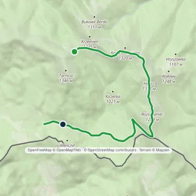 EasyOne-dayMarkedNature Trail Rozsypaniec KrzemieńElevation profile782–1 333 m11.3 kmascent 265 m≈ 3.5 h walkingunder 1 km from Rozsypaniec
 HardMulti-dayMarkedMain Trail of BeskidyElevation profile309–1 723 m499.9 kmascent 19 519 munder 1 km from Rozsypaniec
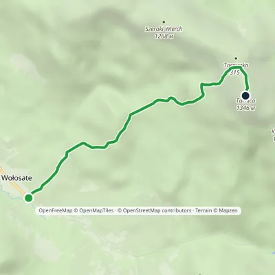 EasyOne-dayMarkedNature and Historical Trail Wołosate TarnicaElevation profile739–1 346 m4.3 kmascent 607 m≈ 2.5 h walking3.5 km from Rozsypaniec
Nearby attractions
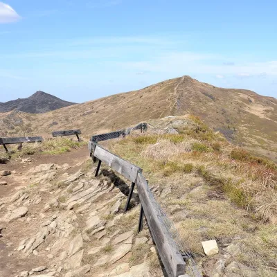 PeakHaliczaltitude 1 333 m1.2 km from RozsypaniecHalicz is a 1,333 m peak, the third-highest in the Polish Bieszczady and in the whole Western Bieszczady.
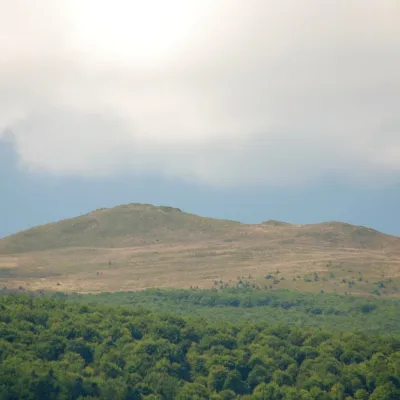 PeakKopa Bukowskaaltitude 1 320 m2.5 km from RozsypaniecKopa Bukowska (1,320 m) is a summit in the Western Bieszczady, one of the mountains of the Tarnica and Halicz group in Bieszczady National Park.
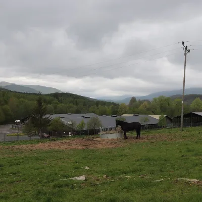 Horse ridingHucul Horse Stud in Wołosate, Bieszczady National Park6.8 km from RozsypaniecWołosate is the southernmost inhabited village in Poland, tucked away in the valley of the Wołosatka stream below Tarnica, the highest peak of the Polish Bieszczady.
Craft nearby
All craft places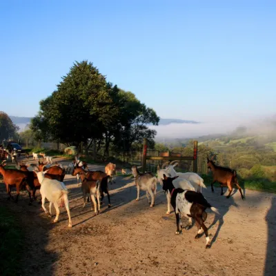 Cheese dairies & pasturesBieszczadzka Koza Goat Cheese Farm, Smolnik18 km from RozsypaniecBieszczadzka Koza ("the Bieszczady Goat") is a family goat farm and artisan cheese dairy in the village of Smolnik on the San, in the eastern Polish Bieszczady, right...
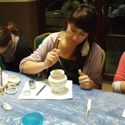 Crafts & workshopsGaleria Barak, Czarna: Bieszczady ceramics and workshops30 km from RozsypaniecGaleria Barak in the village of Czarna near Ustrzyki Dolne is the first private art gallery in the Bieszczady, and its story deserves telling.
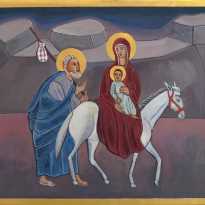 Crafts & workshopsVeraikon Icon Studio, Cisna: Carpathian icons and workshops36 km from RozsypaniecThe Veraikon Icon Studio (Pracownia Ikon Veraikon) in Cisna is, in its owners' words, the oldest and largest icon studio in the Bieszczady.
