Rățițiș
Rățițiș (Rom. Vârful Rățițiș) is a 2,021 m peak in the volcanic Călimani Mountains (Eastern Carpathians), on the border of Harghita and Suceava Counties. It lies on the main ridge of the massif, traversed by the red stripe trail "Piatra Fântânele — Pietrosul peak — Rechițis saddle". The nearest village is Gura Haitii (about 11.1 km in a straight line).
Rățițiș is a trail junction: here meet the blue stripe from Bilbor, yellow stripe from Călimănel, blue triangle from Poiana Puturosul, and the red dot circuit from Neagra Șarului. Nearby, the site marks Spring below Rățițiș (east slope) (about 1.1 km), Bivouac site below Bradul Ciont with the spring Spring below Bradul Ciont (about 1.5 km), and Iezer Hut, 1 593 m (about 2 km).
Getting there / routes
The shortest way is from Poiana Puturosul near the Lomaș hut. According to muntii-nostri.ro, 13 km of well-maintained forest road lead there from Toplița (from the heroes' monument at the exit towards Borsec). From there, the route climbs gently for 4.2 km through forest along the Lomașul valley to the end of the road, passes a drinking water spring, and turns onto a path through the wild Lomeșița valley: it's narrow, crosses the stream several times, goes over wet boulders and fallen old trees. After about 1.7 km, there's a small clearing with a shelter for 5–6 people, from where the path climbs again through forest. The whole route is 10.8 km, about 4.5 hours, 1,048 m ascent, of moderate difficulty.
The route from Călimănel village near Toplița (23.2 km, about 9.5 hours, 1,586 m ascent, difficult) is described by the authors as a more convenient way to reach the Călimani ridge than others. It starts from the DN15 road, passes the bell tower of Saints Constantine and Helena, follows a tractor road via Plaiul Borții under Ulmul peak (about 970 m), then through forest to the Zebrack clearing, and further via Toaca peak to Rățițiș.
The longest approach is from Bilbor (26.2 km, about 10 h 15 min, 1,353 m ascent, difficult). According to the same source, after about 7 km from the village it reaches La Mori peak (1,380 m), where it joins the red ridge stripe, then continues for 11 km on a tractor road through forests and clearings with sheepfolds (the largest are Toplicioara and Steja), leads to the Izvorul Voievodesei spring, and finally to Rățițiș.
Safety, season and rules
Approaches to the Călimani ridge are long, tractor roads are slippery after rain, and the peaks are exposed to wind and storms. Plan for overnight stays, carry extra water and an offline map; in winter, the ridge is accessible only to experienced and well-equipped hikers. Bears are common in the Romanian Carpathians: stay on marked trails, make noise, avoid hiking at dusk, and do not keep food in your tent; near sheepfolds, shepherd dogs may attack—do not run, stop and shield yourself with your backpack (see Salvamont România advice).
In case of emergency, call the national mountain rescue dispatcher 0SALVAMONT — 0725 826 668 or 112.
Getting there from Ukraine
Border crossings
- Porubne – Siret — road and pedestrian, 24/7
- Diakivtsi – Racovăț — road and pedestrian, 24/7 No freight traffic.
- Krasnoilsk – Vicovu de Sus — road and pedestrian, 08:00–20:00 Cars up to 3.5 t and pedestrians only; not 24/7.
- Solotvyno – Sighetu Marmației — road and pedestrian, 24/7 Passenger traffic only: vehicles up to 3.5 t with up to 9 seats, pedestrians.
- Diakove – Halmeu — road, 24/7 No pedestrian crossing.
By car
Chernivtsi – Vatra Dornei ≈153 km, ≈3 h 00 min (via Krasnoilsk – Vicovu de Sus); Rakhiv – Vatra Dornei ≈204 km, ≈4 h 12 min (via Solotvyno – Sighetu Marmației); Ivano-Frankivsk – Vatra Dornei ≈271 km, ≈5 h 00 min (via Krasnoilsk – Vicovu de Sus). Times without border queues, our road routing (GraphHopper, OSM).
Checked 03.11.2026; border crossing hours and timetables change — check before you travel.
Comments
Travellers’ experience: reports, tips, questions.
No one has reported on this trail yet. Been here lately? Tell others what it is like now.
Water and shelter nearby
- Spring below Rățițiș (east slope)1.1 km · Not verified · 1 767 m
- Spring below Bradul Ciont1.5 km · Not verified · 1 735 m
- Iezer Hut, 1 593 m2 km · Not verified · 1 593 m
- Spring below Rățițiș (south slope)2.1 km · Not verified · 1 732 m
- Spring below Vf. Cocoș (north-east slope)2.2 km · Not verified · 1 716 m
- Spring below Negoiul Unguresc2.9 km · Not verified · 1 680 m
Nearby attractions
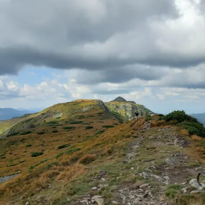 PeakPietrosul CălimanilorGura Haitiialtitude 2 100 m5.5 km from RățițișPietrosul Călimanilor (Romanian: Vârful Pietrosul Călimanilor, Hungarian: Pietrosz-csúcs or Nagy-Köves) is the highest summit of the Călimani Mountains in the Eastern...
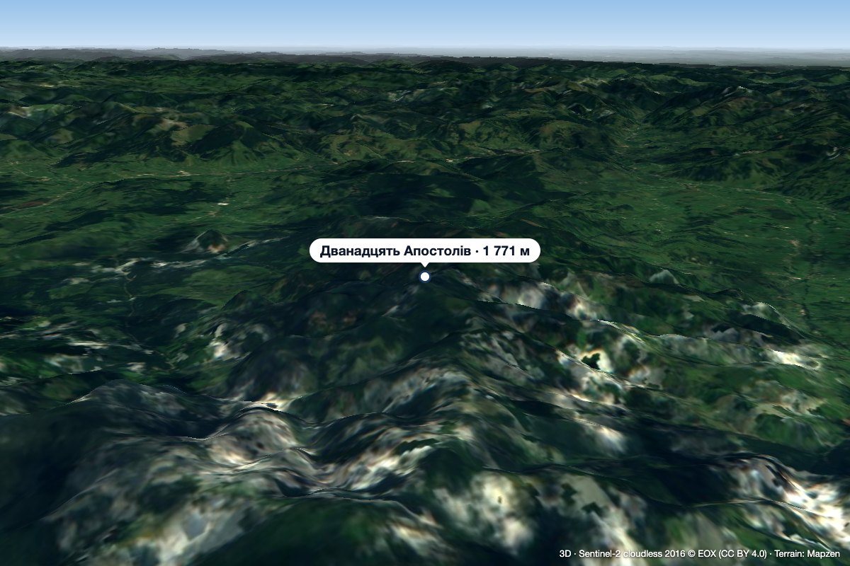 Peak12 ApostoliGura Haitiialtitude 1 771 m15 km from Rățițiș12 Apostoli (Romanian Vârful 12 Apostoli, Doisprezece Apostoli – “the Twelve Apostles”) is a 1,771 m summit in the northern part of the Călimani Mountains, in Suceava...
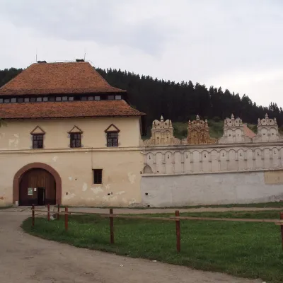 CastleLázár Castle in Lăzarea: a Székely Renaissance fortressLăzarea44 km from RățițișLázár Castle (Castelul Lázár, Hungarian Lázár-kastély) stands in the village of Lăzarea (Hungarian Gyergyószárhegy), about 6 km north-west of the town of Gheorgheni in...
Craft nearby
All craft places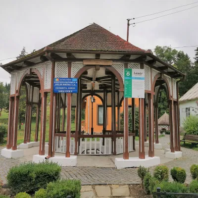 Water parks & thermal poolsBorsec spa: carbonated springs and the Fontana centreBorsec27 km from RățițișBorsec is a small spa town in the north-east of Harghita County, lying at 850–950 m in a little basin where the Giurgeu, Bistrița and Călimani mountains meet (Eastern...
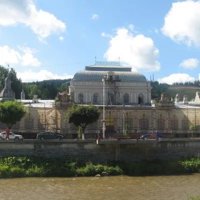 Water parks & thermal poolsVatra Dornei: carbonated baths, mofette and spa parkVatra Dornei28 km from RățițișVatra Dornei is an old balneoclimatic spa in Romanian Bukovina, lying at about 802 m in the Dorna Depression, where the Dorna River flows into the Bistrița.
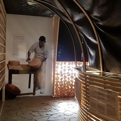 Cheese dairies & pasturesGheorgheni cheese workshop: aged cheeses of the Giurgeu basinGheorgheni49 km from RățițișGheorgheni (Hungarian: Gyergyószentmiklós) is the main town of the Giurgeu (Gyergyó) basin in the north of Harghita County, between the Harghita Mountains and the...
