Pietrosul Călimanilor
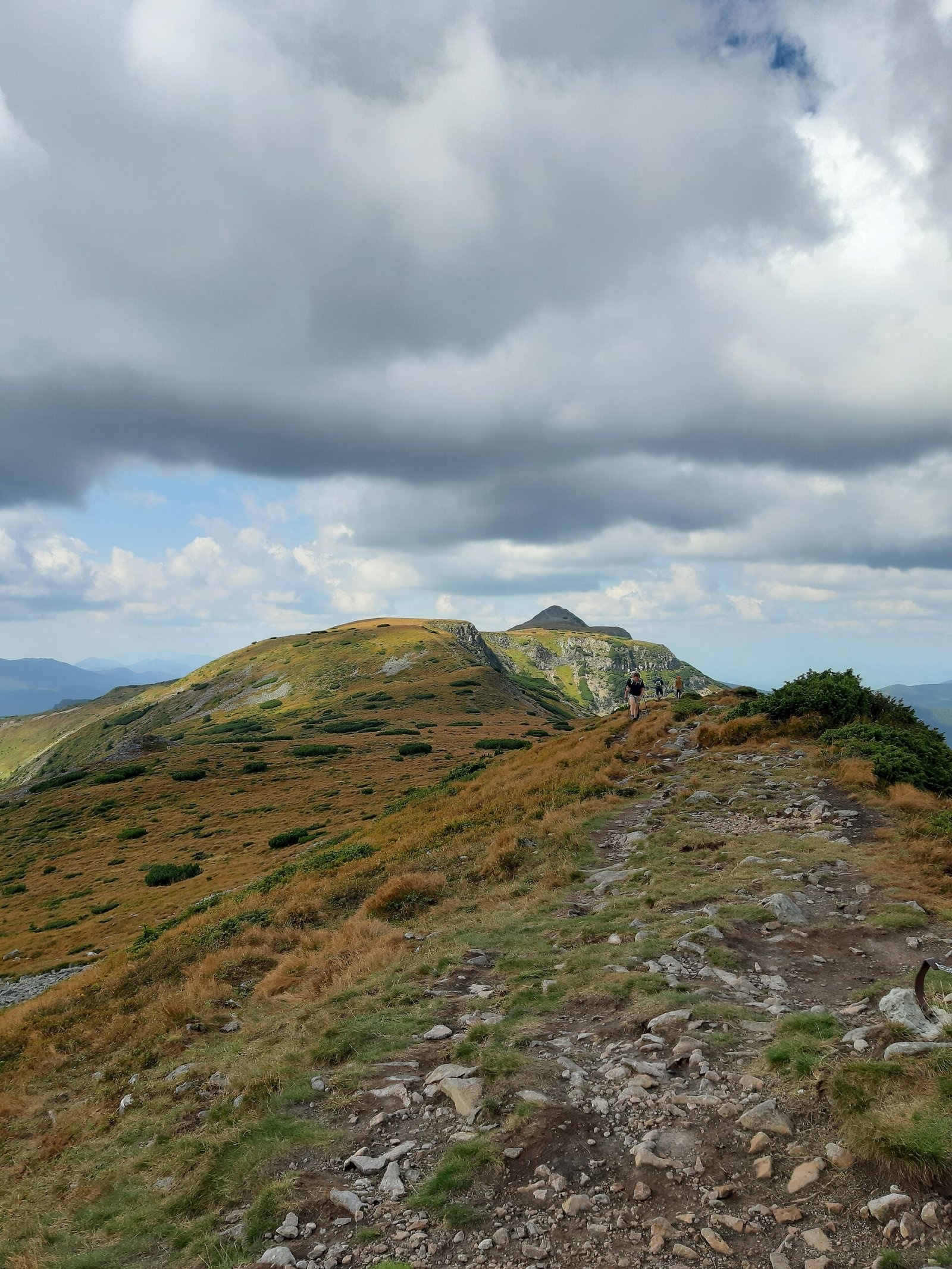
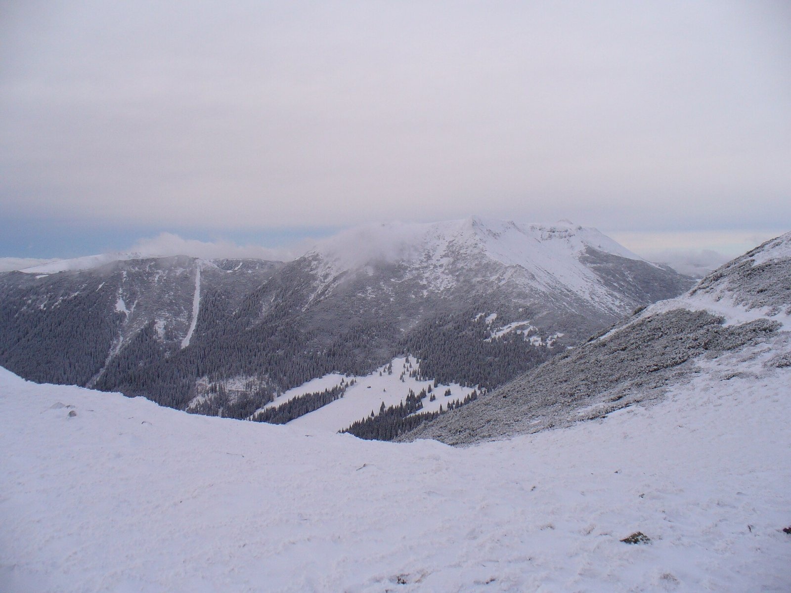
Pietrosul Călimanilor (Romanian: Vârful Pietrosul Călimanilor, Hungarian: Pietrosz-csúcs or Nagy-Köves) is the highest summit of the Călimani Mountains in the Eastern Carpathians, 2,100 m above sea level (2,102 m in some sources). According to Hungarian Wikipedia, it is the highest mountain of volcanic origin in the whole Eastern Carpathians. The summit lies on the border of Mureș and Suceava counties; according to Czech Wikipedia, about 10 km south-west of the village of Gura Haitii and 25 km north-west of the town of Toplița.
Polish Wikipedia notes that the Călimani are the second-highest range of the Eastern Carpathians and geologically form one volcanic chain together with the Harghita Mountains. The summit itself is the highest point of the deeply dissected, heavily eroded rim of a crater of a volcano active in the late Pliocene. The top is a wide block field with a survey marker and a cross.
How to get there / routes
The summit is not very difficult, but it is rarely visited: because of its great height above the valleys, all approaches are long and tiring. Romanian Wikipedia describes several options:
- From Lunca Bradului — up the Ilva valley via the Negoiu saddle or along the Pârâul Repede stream; the first route is easier, the second shorter.
- From Gura Haitii — through the former sulphur quarry or on the tourist route past the «Twelve Apostles» rocks (12 Apostoli) and Pietrele Roșii.
- From the Toplița side — past the Rețitiș weather station (2,022 m).
The Călimani National Park offers a red cross route: Gura Haitii village – Poiana Izvoarelor – Pietrosul Călimanilor – Rețitiș peak – Iezerul Călimanilor – Păltiniș pass; it takes 16 hours and is graded difficult. The red stripe also crosses the summit along the main ridge, from Piatra Fântânele to the Răchițiș pass.
What you can see from the summit
Hungarian Wikipedia describes the panorama in detail: in clear weather you can see the mountains from the Maramureș to the Făgăraș. To the south lie the forests of the Gurghiu Mountains, to the south-east the neighbouring peaks Negoiul Unguresc and Rețitiș (2,021 m) with its weather station, and in the distance the Giurgeu, Hășmaș and Harghita mountains. To the east you see Voievodu (1,885 m), Izvorul Călimanului (2,032 m) and Cerbuc (2,015 m), and further the Bistrița Mountains and the Ceahlău. To the north the «Twelve Apostles» rocks rise above the horizon, with the Suhard and the Bukovina Obcinas beyond, and to the north-east the Bârgău and Rodna mountains.
Nature and history
According to English Wikipedia, moraines and glacial landforms below the summit point to at least two stages of glaciation in the Late Quaternary. Around the «Twelve Apostles» rocks and nearby Lucaciu peak, according to the park, traces of ancient rites survive: at the summer solstice local people have long climbed the mountains for the «Moșii de la Călimani» festival, linked to the Dacian cult of the sun, the fir tree and fire.
Safety, season and rules
Polish Wikipedia warns that the path to the summit is faint and disappears in places, and the structure of the massif is complicated, so without a detailed map it is easy to get lost; the approaches are long because of the great height above the valleys. In winter, according to Romanian Wikipedia, the routes are considerably harder. The summit lies in the Călimani National Park. Under the park rules, a ticket costs 10 lei for adults and 5 lei for pupils and students (bought at the visitor centre in Șaru Dornei or from rangers on the trail); walking is allowed only on marked trails, tents only in designated campsites, lighting fires is strictly prohibited, and motor vehicles may enter only with the administration's written consent. The park advises never to go into the mountains alone, to carry a raincoat, torch, map and compass, and, if there is no signal, to climb higher and call 112 or 0SALVAMONT. In winter the high ridges carry a serious avalanche risk — follow the avalanche bulletin of Romania's National Meteorological Administration (ANM) on meteoromania.ro.
Bears are common in the Romanian Carpathians. Salvamont rescuers advise not to hike alone, to talk loudly so that an animal hears you in advance, to keep your distance and never feed wildlife, and to store food in sealed containers away from your tent; if you meet a bear, do not run and back away slowly without turning your back.
Mountain rescue: Salvamont national dispatch 0SALVAMONT = 0725 826 668 and the emergency number 112.
Interesting facts
- Pietrosul Călimanilor is the highest volcanic peak of the Eastern Carpathians.
- The summit is a remnant of the crater rim of a Pliocene volcano.
Photos: MiHai350T, CC BY-SA 4.0; Kluand, Public domain — Wikimedia Commons.
Getting there from Ukraine
Border crossings
- Porubne – Siret — road and pedestrian, 24/7
- Diakivtsi – Racovăț — road and pedestrian, 24/7 No freight traffic.
- Krasnoilsk – Vicovu de Sus — road and pedestrian, 08:00–20:00 Cars up to 3.5 t and pedestrians only; not 24/7.
- Solotvyno – Sighetu Marmației — road and pedestrian, 24/7 Passenger traffic only: vehicles up to 3.5 t with up to 9 seats, pedestrians.
- Diakove – Halmeu — road, 24/7 No pedestrian crossing.
By car
Chernivtsi – Vatra Dornei ≈153 km, ≈3 h 00 min (via Krasnoilsk – Vicovu de Sus); Rakhiv – Vatra Dornei ≈204 km, ≈4 h 12 min (via Solotvyno – Sighetu Marmației); Ivano-Frankivsk – Vatra Dornei ≈271 km, ≈5 h 00 min (via Krasnoilsk – Vicovu de Sus). Times without border queues, our road routing (GraphHopper, OSM).
Checked 03.11.2026; border crossing hours and timetables change — check before you travel.
Comments
Travellers’ experience: reports, tips, questions.
No one has reported on this trail yet. Been here lately? Tell others what it is like now.
Location on the map
Water and shelter nearby
- Spring below Pietrosul Călimani (north-west slope), 1 671 m1.2 km · Not verified · 1 671 m
- Spring below Pietrosul Călimani (north-west slope), 1 670 m1.3 km · Not verified · 1 670 m
- Șaua Negoiu Hut2.5 km · Not verified · 1 625 m
- Spring below Negoiul Unguresc2.6 km · Not verified · 1 680 m
Nearby attractions
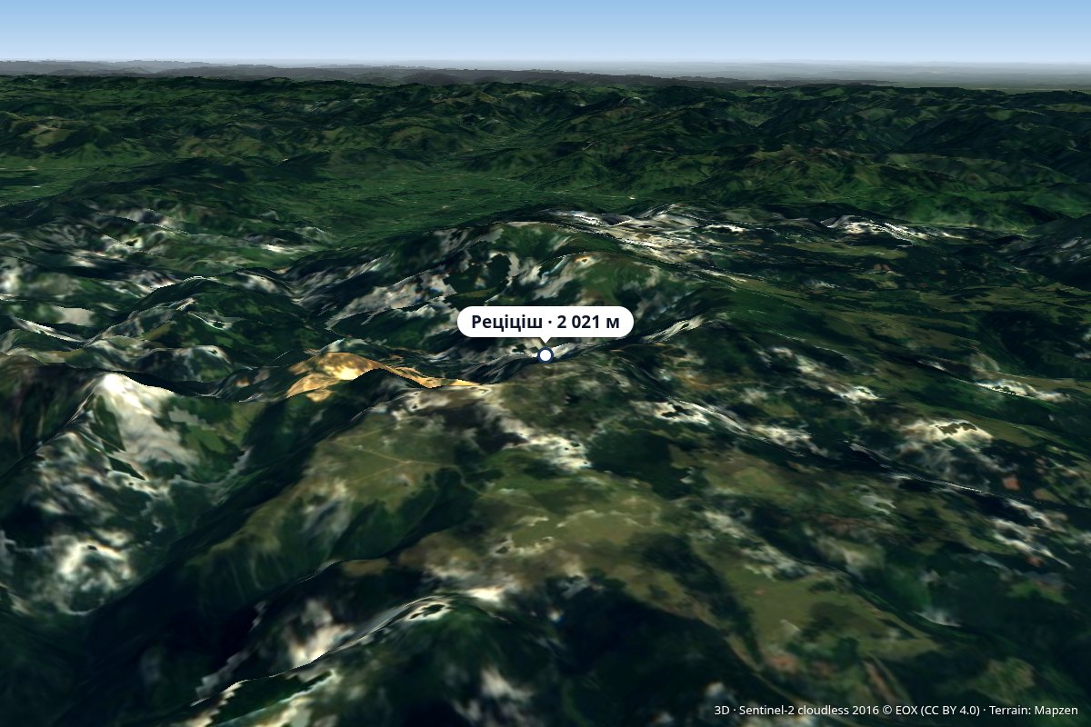 PeakRățițișaltitude 2 021 m5.5 km from Pietrosul CălimanilorVârful Rățițiș) is a 2,021 m peak in the volcanic Călimani Mountains (Eastern Carpathians), on the border of Harghita and Suceava Counties.
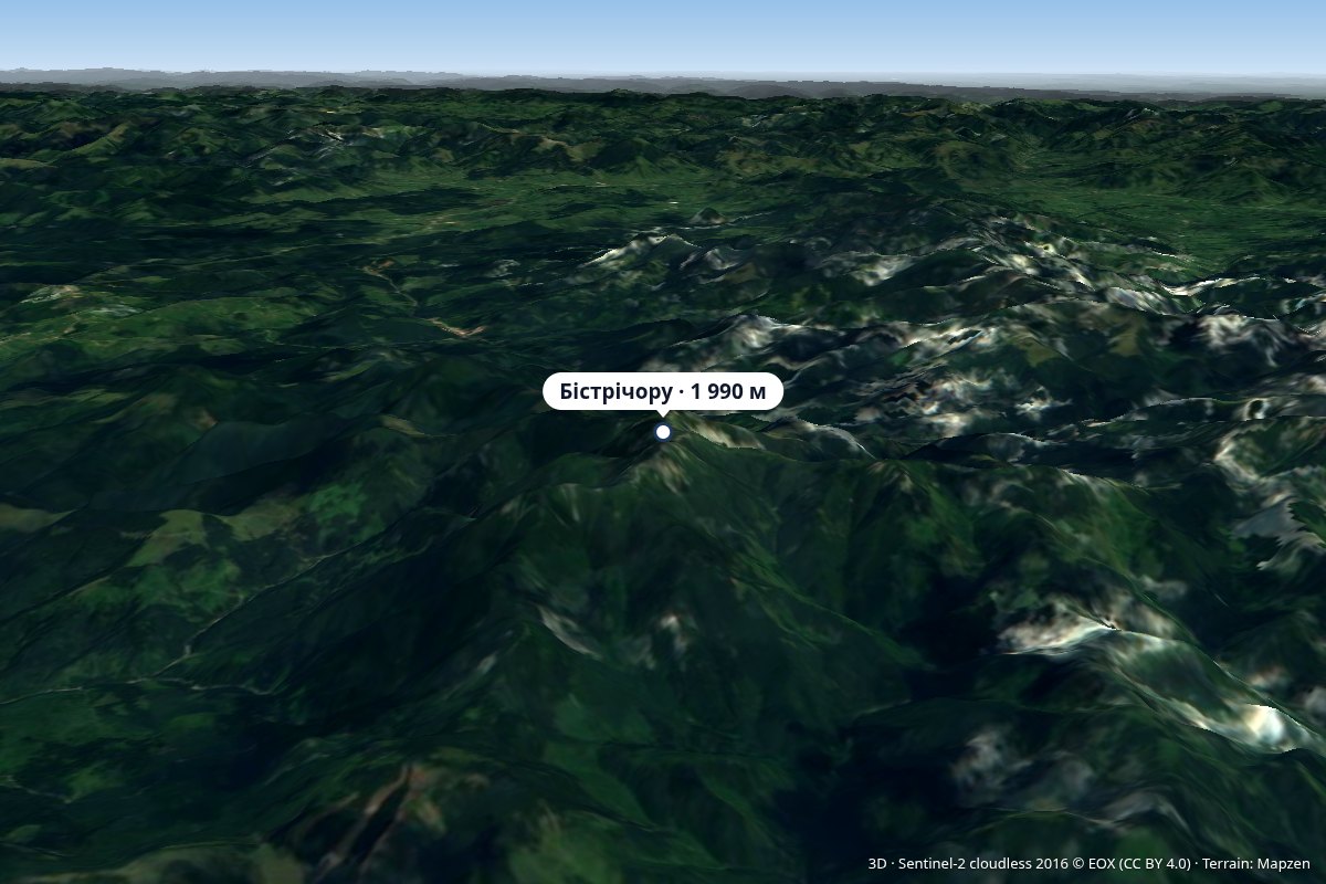 PeakBistriciorualtitude 1 990 m9.7 km from Pietrosul CălimanilorVârful Bistricioru) is a 1,990 m peak in the western part of the volcanic Călimani Mountains (Eastern Carpathians), on the border of Bistrița-Năsăud and Mureș Counties.
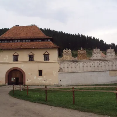 CastleLázár Castle in Lăzarea: a Székely Renaissance fortressLăzarea49 km from Pietrosul CălimanilorLázár Castle (Castelul Lázár, Hungarian Lázár-kastély) stands in the village of Lăzarea (Hungarian Gyergyószárhegy), about 6 km north-west of the town of Gheorgheni in...
Craft nearby
All craft places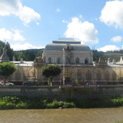 Water parks & thermal poolsVatra Dornei: carbonated baths, mofette and spa parkVatra Dornei27 km from Pietrosul CălimanilorVatra Dornei is an old balneoclimatic spa in Romanian Bukovina, lying at about 802 m in the Dorna Depression, where the Dorna River flows into the Bistrița.
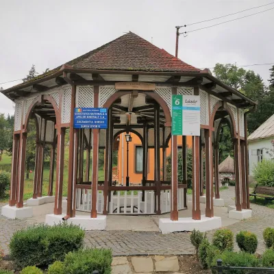 Water parks & thermal poolsBorsec spa: carbonated springs and the Fontana centreBorsec33 km from Pietrosul CălimanilorBorsec is a small spa town in the north-east of Harghita County, lying at 850–950 m in a little basin where the Giurgeu, Bistrița and Călimani mountains meet (Eastern...
