Rarău
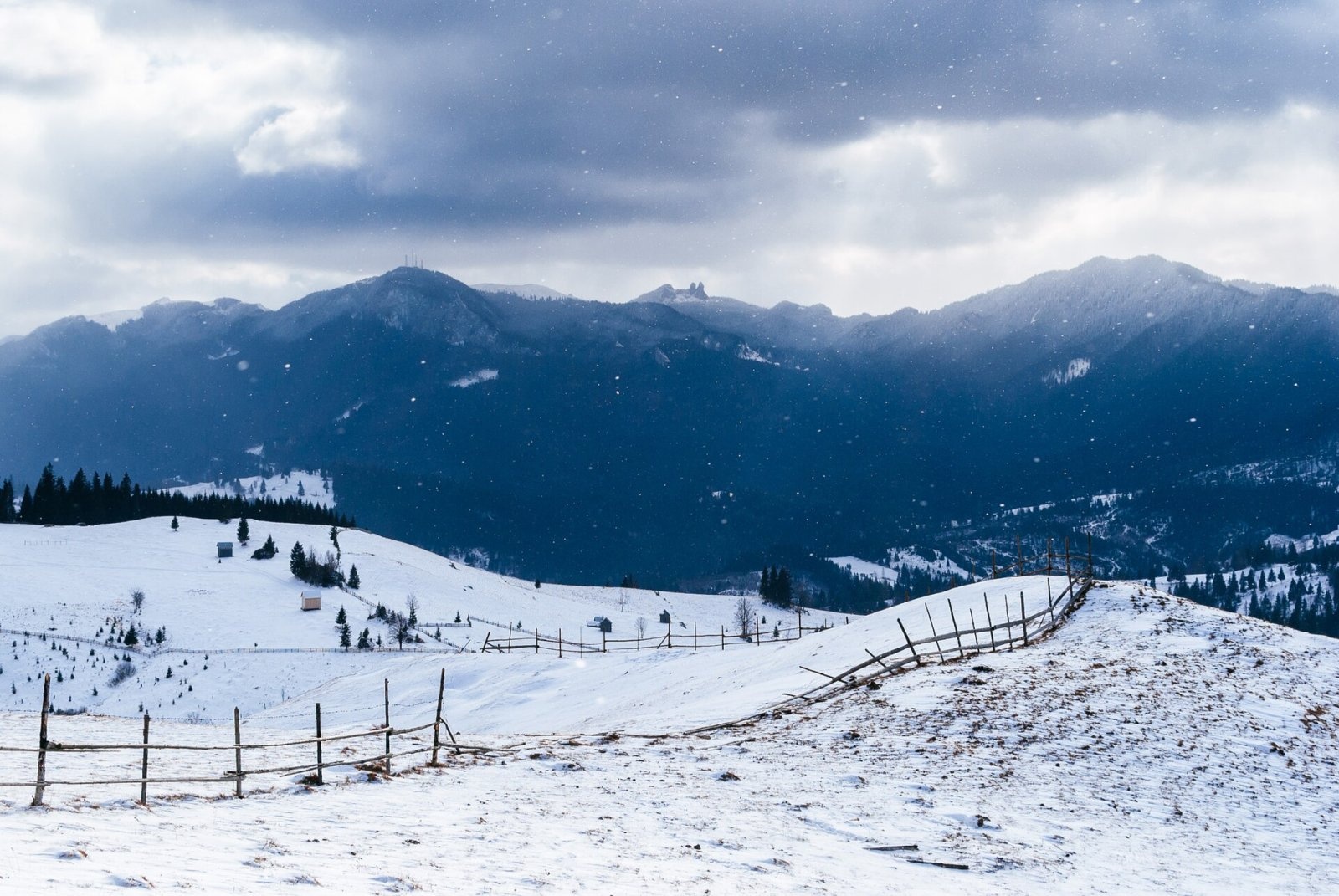
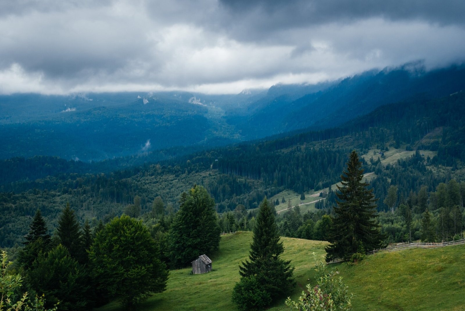
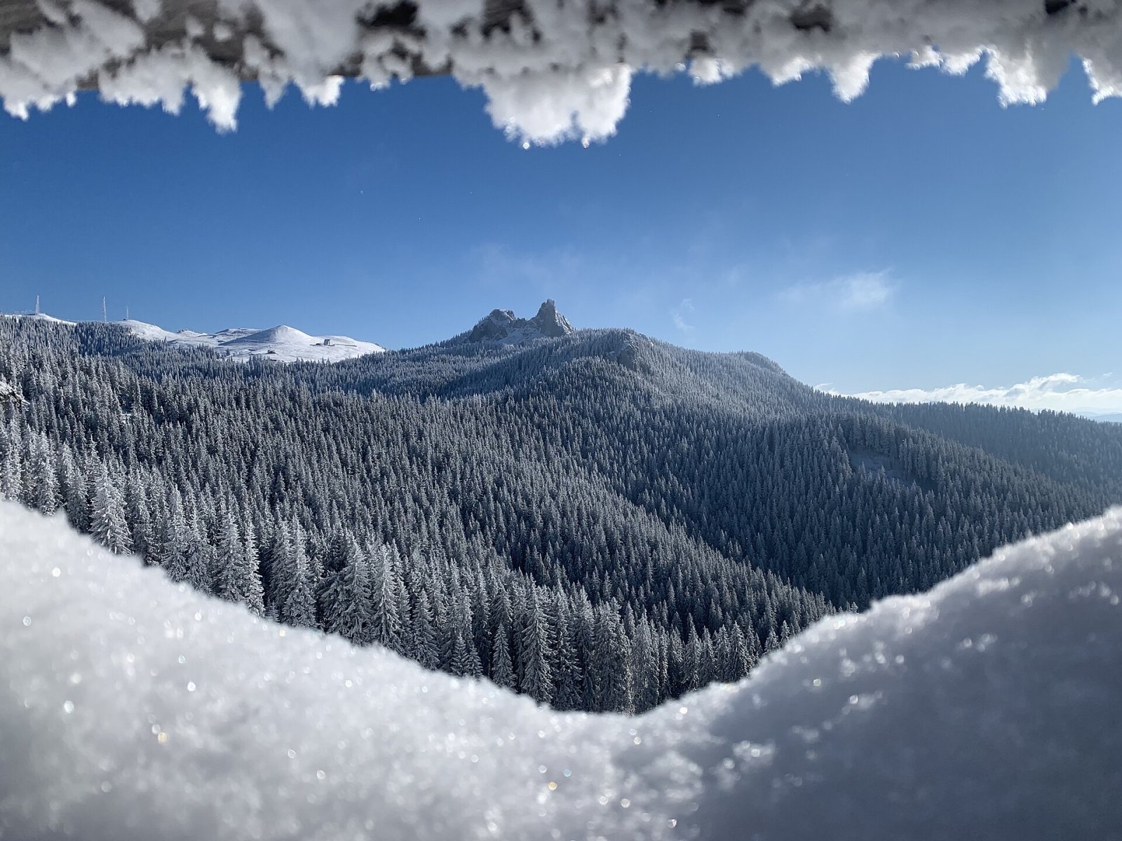
Rarău (Romanian: Vârful Rarău) is the highest summit of the massif of the same name in the Eastern Carpathians, 1,651 m above sea level. The Rarău Massif, about 160 km², lies in Suceava County in historical Bukovina, between the Moldova and Bistrița valleys; its lowest point is about 600 m in the Moldova valley. The nearest settlements are the villages of Chiril and Cojoci (about 6 km) and the town of Câmpulung Moldovenesc (8.5 km to the north); Vatra Dornei is another larger tourist centre nearby.
According to Romanian Wikipedia, the massif is bounded to the west by the Colbu river, separating it from neighbouring Giumalău; to the north lie the Bukovina Obcinas and the Câmpulung Depression, to the east and south-east the Obcina Voroneț and the Stânișoara Mountains, and to the south the Bistrița Mountains.
How to get there / routes
Rarău is one of the most accessible summits of Bukovina. According to English Wikipedia, the massif can be driven up to about 1,520 m on the Transrarău mountain road (DJ175B). From the upper area by the Salvamont point a short blue dot path leads to the summit.
On foot, Rarău is climbed from several sides: from the Moldova valley, from the DN17 road east of Câmpulung, on the red cross; from the village of Slătioara on the red triangle; and from the Rarău skete on the yellow triangle. The red stripe of the European path E8 passes near the summit: from the Mestecăniș pass over Giumalău peak (1,857 m) and the Prislop saddle to the Stânișoara Mountains.
What you can see from the summit
Romanian Wikipedia notes that the Rarău summit is famous for its cliffs and wide panorama. To the west you see the Giumalău massif, to the north the Câmpulung Depression and the Bukovina Obcinas, to the south the Bistrița Mountains; just below stand the limestone towers of Pietrele Doamnei.
Nature and history
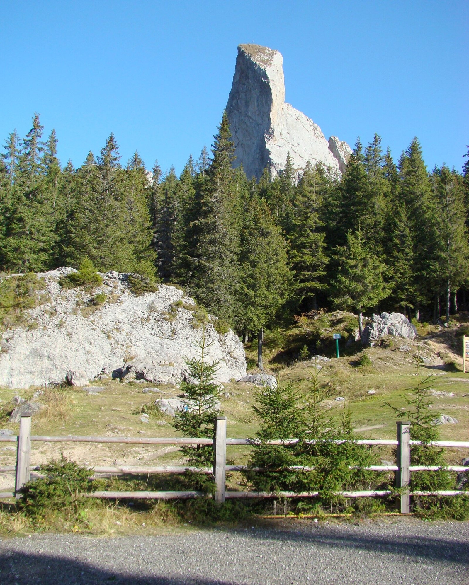
The massif is known for its picturesque limestone formations. The most famous is Pietrele Doamnei («the Lady's Stones»): a group of towers of Mesozoic limestone from under 10 to over 70 m high at about 1,400 m, close to the summit. The limestone contains fossil corals and ammonites, and the towers formed as frost broke up a limestone peak. Many climbing routes run on them. About a kilometre north of Pietrele Doamnei, at the bottom of a large shaft, lies the Peștera cu Lilieci (Bat Cave); the massif also has the Piatra Șoimului and Piatra Zimbrului rock walls and the Moara Dracului gorge.
The name «Rarău» has been known since at least 1541; before that the massif was called Dodu, and a legend links the new name to the Moldavian prince Petru Rareș. At the end of the 18th century, when Bukovina was occupied by the Austrians, the Rarău skete was moved from the northern to the southern slope of the mountain. At the Rarău weather station the average July temperature is only 11.4 °C, and average precipitation is 909 mm a year.
Safety, season and rules
The summit itself is modest and easy to reach, but the weather on the Rarău is harsh: according to the weather station, the average January temperature is −7 °C and snow lies on average 163 days a year. In winter and spring the Transrarău road may be snowbound and the rocks around Pietrele Doamnei dangerously slippery; only equipped climbers go up the rock towers themselves.
Bears are common in the Romanian Carpathians. Salvamont rescuers advise not to hike alone, to talk loudly so that an animal hears you in advance, to keep your distance and never feed wildlife, and to store food in sealed containers away from your tent; if you meet a bear, do not run and back away slowly without turning your back.
Mountain rescue: Salvamont national dispatch 0SALVAMONT = 0725 826 668 and the emergency number 112.
Interesting facts
- The Pietrele Doamnei towers are made of limestone containing fossil corals and ammonites.
- Until the 16th century the massif was called Dodu.
- The Transrarău road brings cars almost to 1,520 m.
Photos: Mihai Burlacu, CC BY-SA 3.0; Mihai Burlacu, CC BY-SA 3.0; Liviu Mihai Șeiciuc, CC BY-SA 4.0; Țetcu Mircea Rareș, CC BY-SA 4.0 — Wikimedia Commons.
Getting there from Ukraine
Border crossings
- Porubne – Siret — road and pedestrian, 24/7
- Diakivtsi – Racovăț — road and pedestrian, 24/7 No freight traffic.
- Krasnoilsk – Vicovu de Sus — road and pedestrian, 08:00–20:00 Cars up to 3.5 t and pedestrians only; not 24/7.
- Solotvyno – Sighetu Marmației — road and pedestrian, 24/7 Passenger traffic only: vehicles up to 3.5 t with up to 9 seats, pedestrians.
- Diakove – Halmeu — road, 24/7 No pedestrian crossing.
By car
Chernivtsi – Câmpulung Moldovenesc ≈121 km, ≈2 h 12 min (via Krasnoilsk – Vicovu de Sus); Ivano-Frankivsk – Câmpulung Moldovenesc ≈239 km, ≈4 h 12 min (via Krasnoilsk – Vicovu de Sus); Rakhiv – Câmpulung Moldovenesc ≈217 km, ≈4 h 35 min (via Solotvyno – Sighetu Marmației). Times without border queues, our road routing (GraphHopper, OSM).
Checked 03.11.2026; border crossing hours and timetables change — check before you travel.
Location on the map
Water and shelter nearby
- Spring below Rarău (south slope)200 m · Not verified · 1 573 m
- Spring below Rarău (south-east slope), 1 563 m240 m · Not verified · 1 563 m
- Spring below Rarău (south-east slope), 1 582 m320 m · Not verified · 1 582 m
- Spring below Pietrele Doamnei870 m · Not verified · 1 482 m
- Spring below Popii Rarăului1.4 km · Not verified · 1 415 m
- Codreanu's Cross Tap1.7 km · Not verified · 1 360 m
Wildlife nearby
AllComments
Nearby attractions
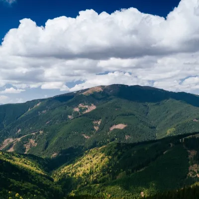 PeakGiumalăuValea Putneialtitude 1 857 m · Marmarosh range7.1 km from RarăuGiumalău (Romanian Vârful Giumalău) is the highest summit of the Rarău–Giumalău massif in the Eastern Carpathians, at 1,857 m.
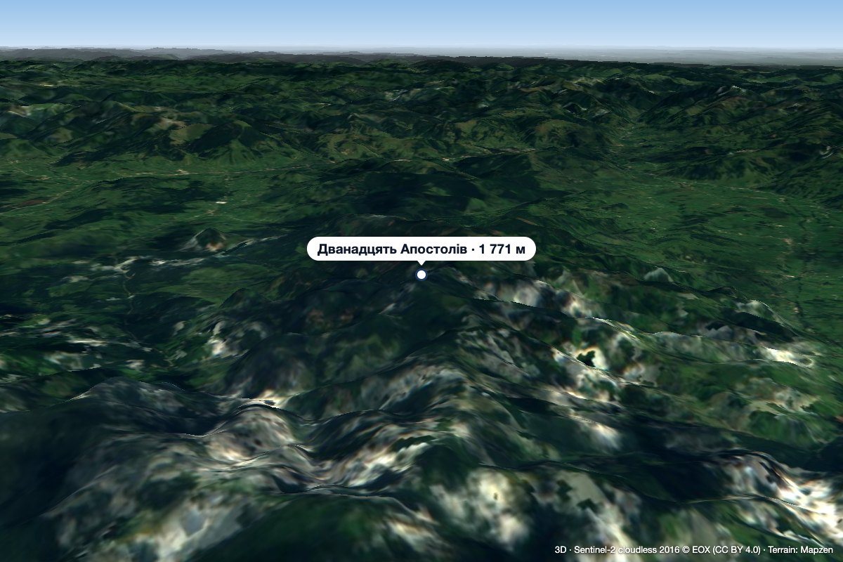 Peak12 ApostoliGura Haitiialtitude 1 771 m37 km from Rarău12 Apostoli (Romanian Vârful 12 Apostoli, Doisprezece Apostoli – “the Twelve Apostles”) is a 1,771 m summit in the northern part of the Călimani Mountains, in Suceava...
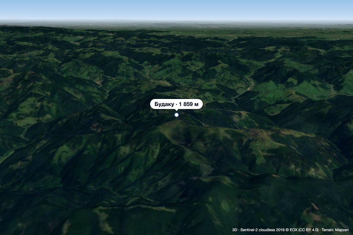 PeakBudacualtitude 1 859 m38 km from RarăuBudacu (Romanian Vârful Budacu, also Budacul; Hungarian Nagy-Budak) is the highest summit of the Bistrița Mountains in the Romanian Eastern Carpathians, at 1,859 m.
