Palota
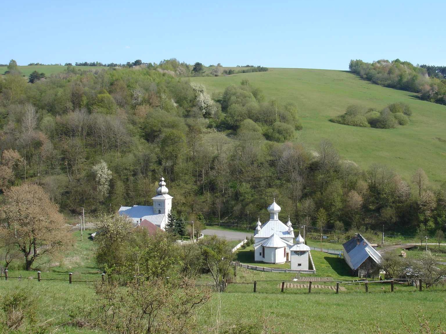
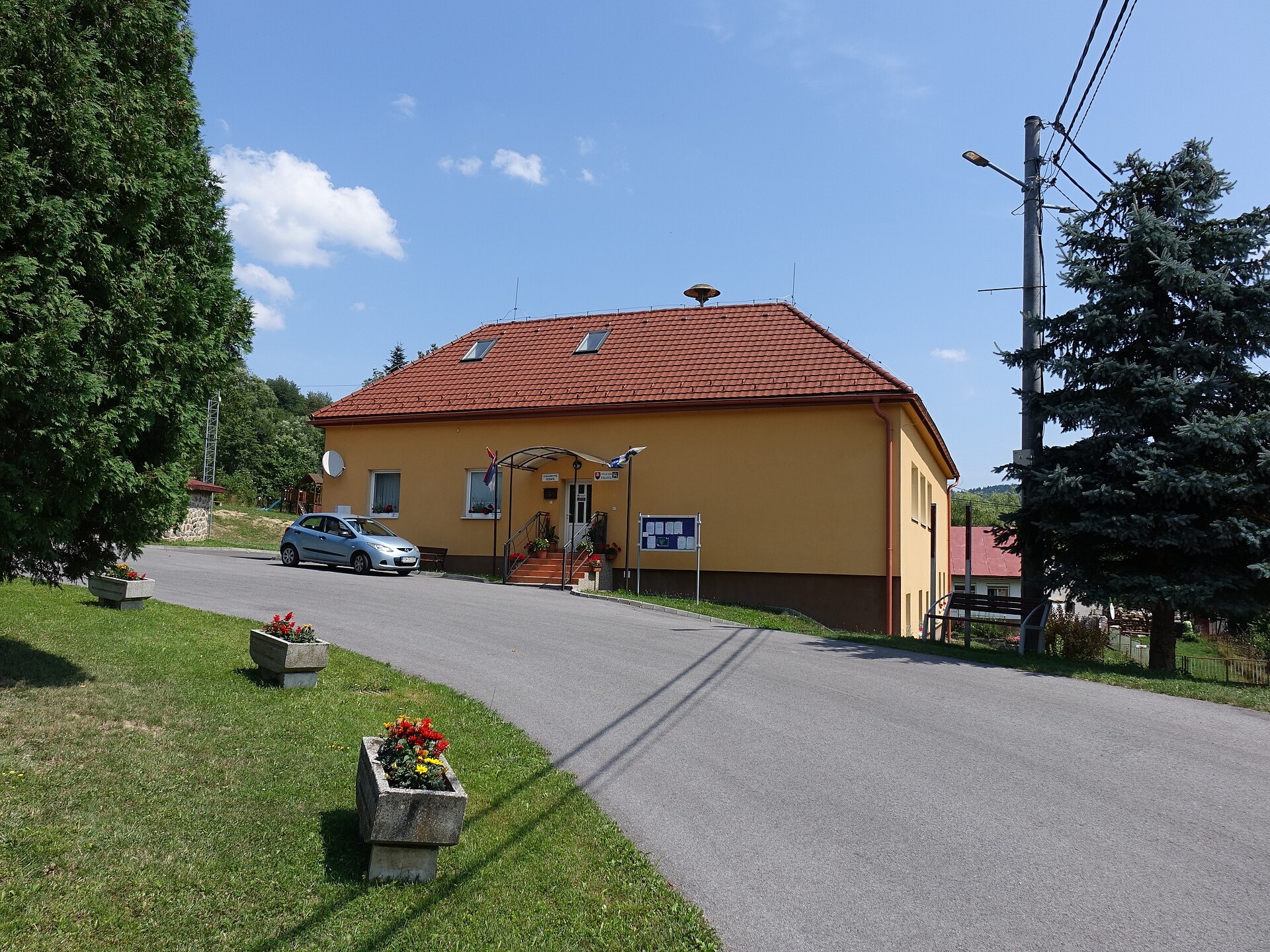
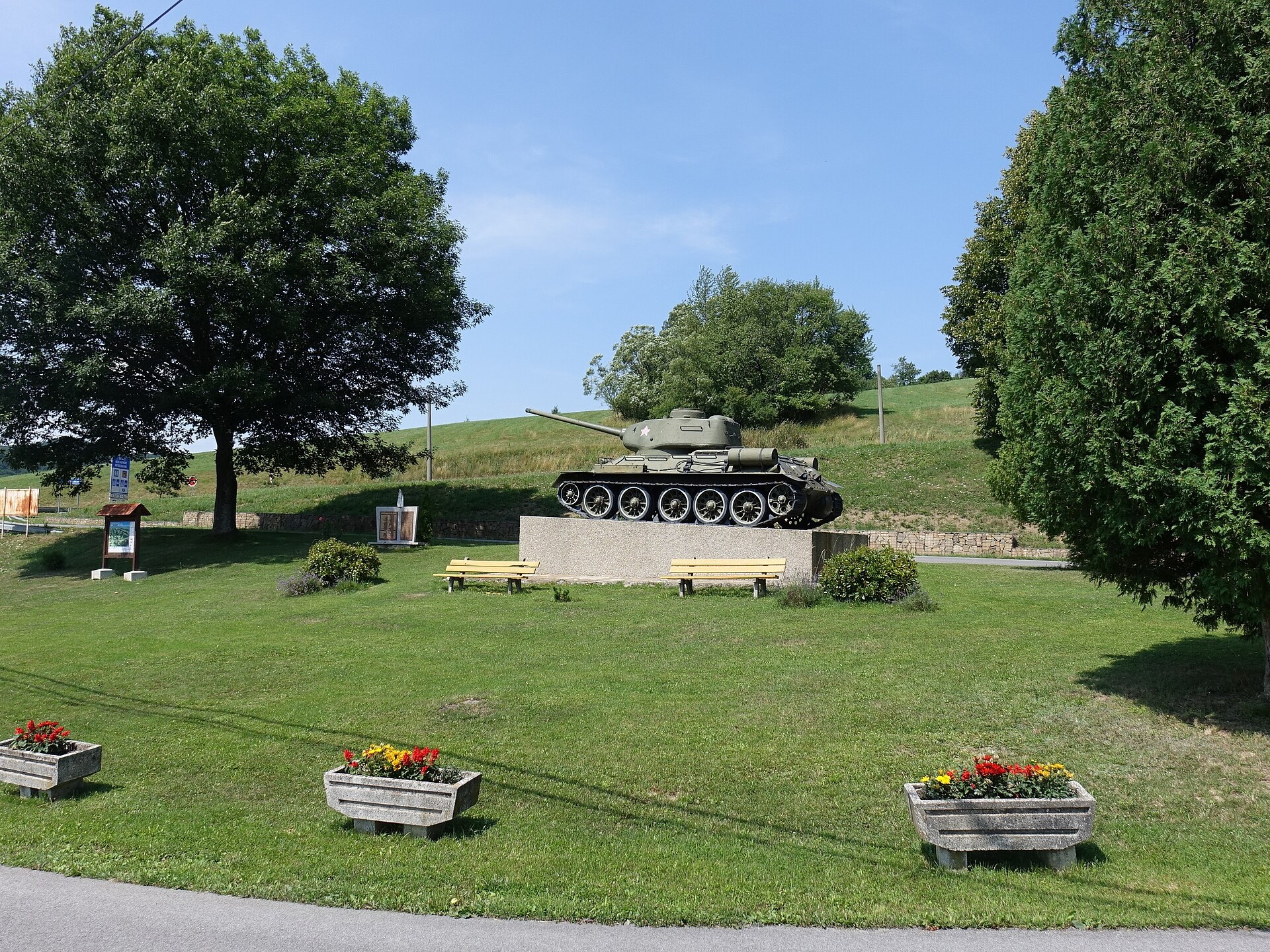
Photos: Silar, CC BY-SA 3.0 (Wikimedia Commons); Ing.Mgr.Jozef Kotulič, CC BY-SA 4.0 (Wikimedia Commons); Ing.Mgr.Jozef Kotulič, CC BY-SA 4.0 (Wikimedia Commons)
Palota is a village in Slovakia.
Elevation: about 482 m above sea level. Population: 174 (2025). Mountains nearby: Low Beskids.
Here and nearby on the site: 2 trails.
Facts: Wikidata, OpenStreetMap. More on Wikipedia
Trails nearby
All trails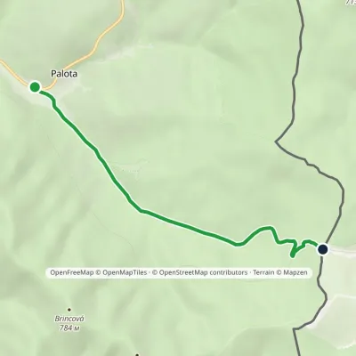 EasyOne-dayMarkedPalota Lupkov PassElevation profile441–646 m5 kmascent 203 m≈ 1.5 h walkingunder 1 km from the centre
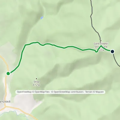 EasyOne-dayMarkedDaňová, junction KomanczaElevation profile393–813 m4.9 kmascent 425 m≈ 2 h walking4.3 km from the centre
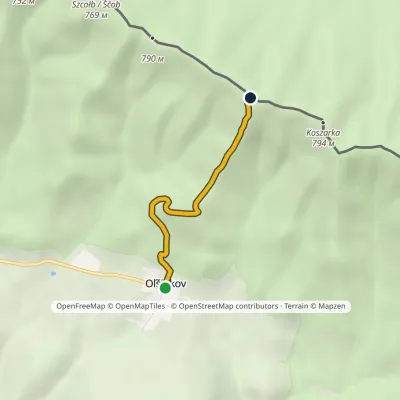 EasyOne-dayMarkedOľšinkov Saddle under KošiarkaElevation profile452–784 m2.8 kmascent 331 m≈ 1.5 h walking7.2 km from the centre
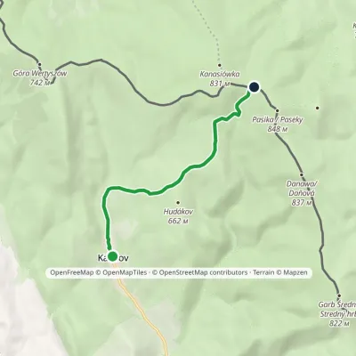 EasyOne-dayMarkedKalinov Pasika / PasekyElevation profile440–811 m5.8 kmascent 394 m≈ 2 h walking7.6 km from the centre
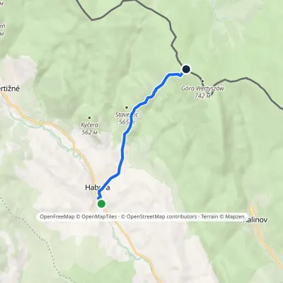 EasyOne-dayMarkedHabura Vodojem, state borderElevation profile375–684 m5 kmascent 309 m≈ 2 h walking11 km from the centre
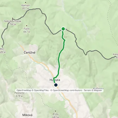 EasyOne-dayMarkedHabura KoprivničnáElevation profile375–721 m6.3 kmascent 2 m≈ 1.5 h walking11 km from the centre
What to visit
All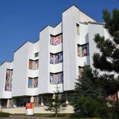 MuseumAndy Warhol Museum of Modern Art, MedzilaborceMedzilaborce6.5 km from the centreIt was from here, from the nearby village of Miková, that Andy Warhol’s parents, Julia and Andrej Warhola, emigrated to the USA in the early 20th century.
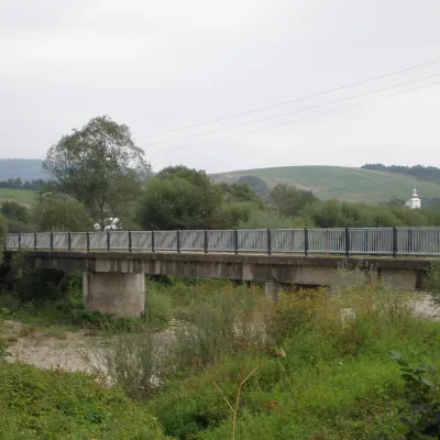 RiverLaborec RiverMedzilaborce6.6 km from the centreThe Laborec is a river in eastern Slovakia, a left-bank tributary of the Latorica in the Bodrog and Tisza basin.
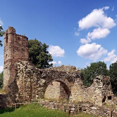 ChurchKrásny Brod Monastery: ruins and pilgrimage siteKrásny Brod8.6 km from the centreThe Monastery of the Descent of the Holy Spirit near the village of Krásny Brod in the Medzilaborce district is one of the oldest and most important monasteries of the...
Huts, shelters and springs nearby
Getting there from Ukraine
Border crossings
- Uzhhorod – Vyšné Nemecké — road, 24/7
- Malyi Bereznyi – Ubľa — road, 24/7 For cars and buses; pedestrians not confirmed by the Ukrainian border service, lorries up to 3.5 t.
- Mali Selmentsi – Veľké Slemence (pedestrian) — pedestrian, 09:00–21:00 Kyiv time Pedestrians and cyclists only; inconvenient for the Tatras without onward transport.
- Chop – Čierna nad Tisou (rail) — rail, 24/7
By car
Lviv – Snina ≈241 km, ≈4 h 20 min without queues: H-13 via Sambir and the Uzhok Pass to Velykyi and Malyi Bereznyi → Malyi Bereznyi – Ubľa checkpoint → road 74 to Snina (≈27 km, ≈30 min from the border). From Uzhhorod: via Vyšné Nemecké (I/19 towards Sobrance, then II/566 and road 74) ≈65 km, ≈1 h 15 min; via Malyi Bereznyi – Ubľa ≈80 km, ≈1 h 40 min, but that crossing is usually less busy.
Checked 23.10.2026; border crossing hours and timetables change — check before you travel.
