Oravská Polhora
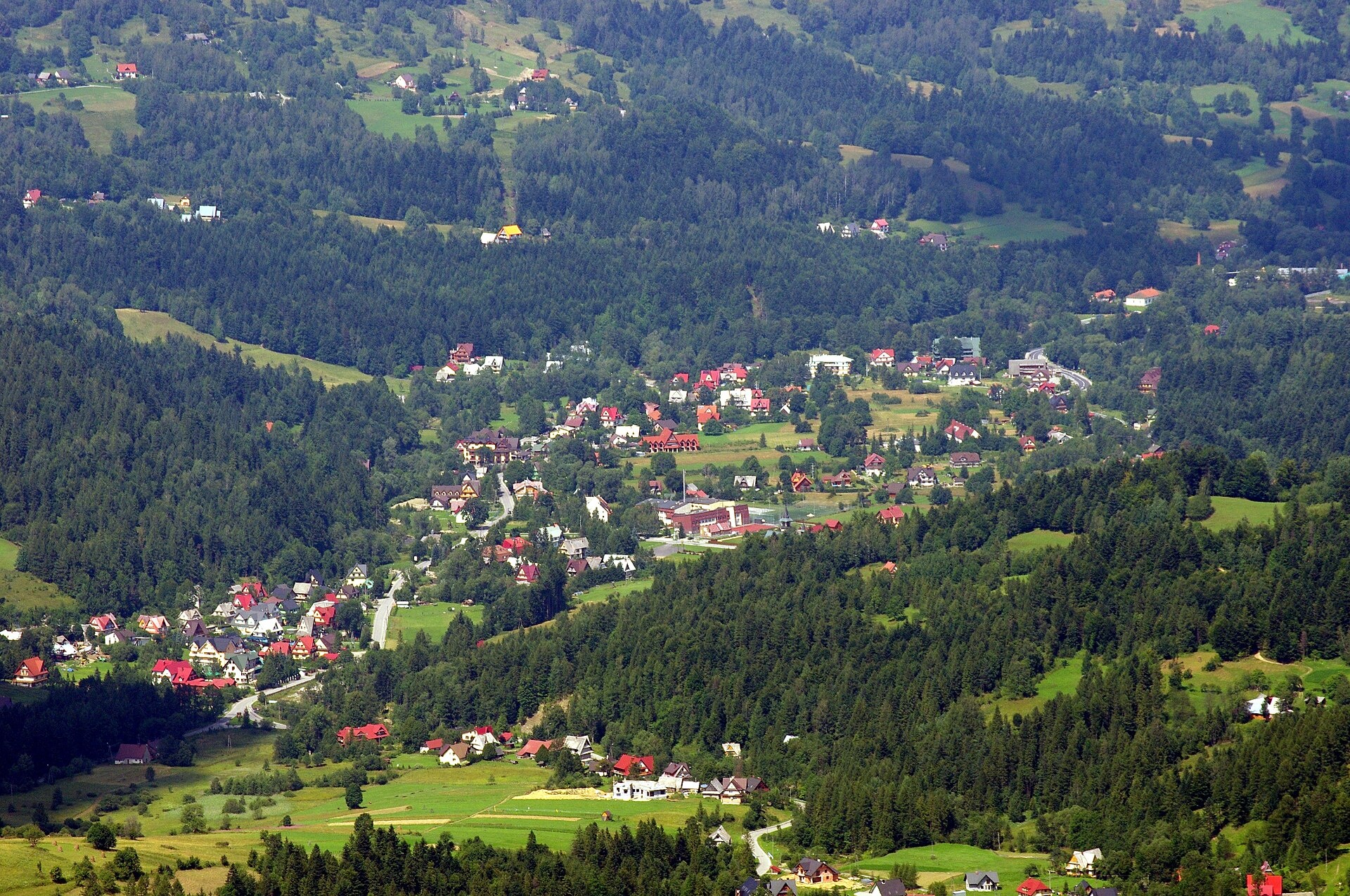
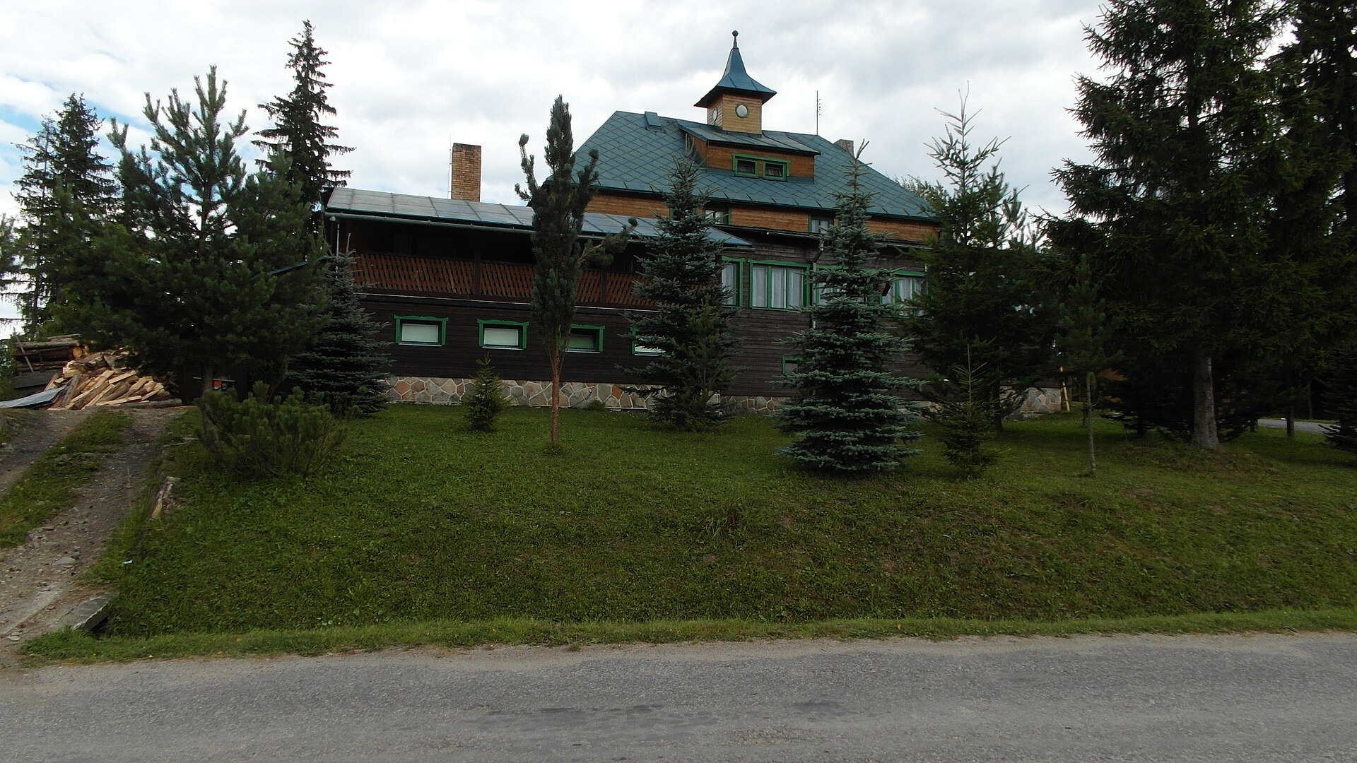
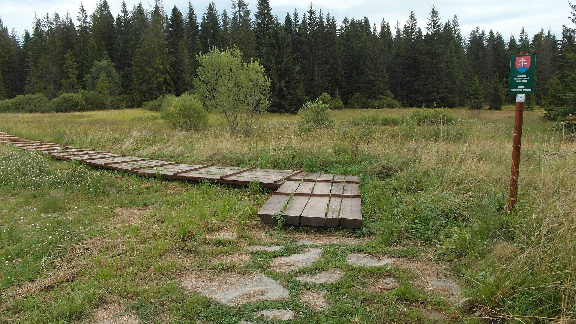
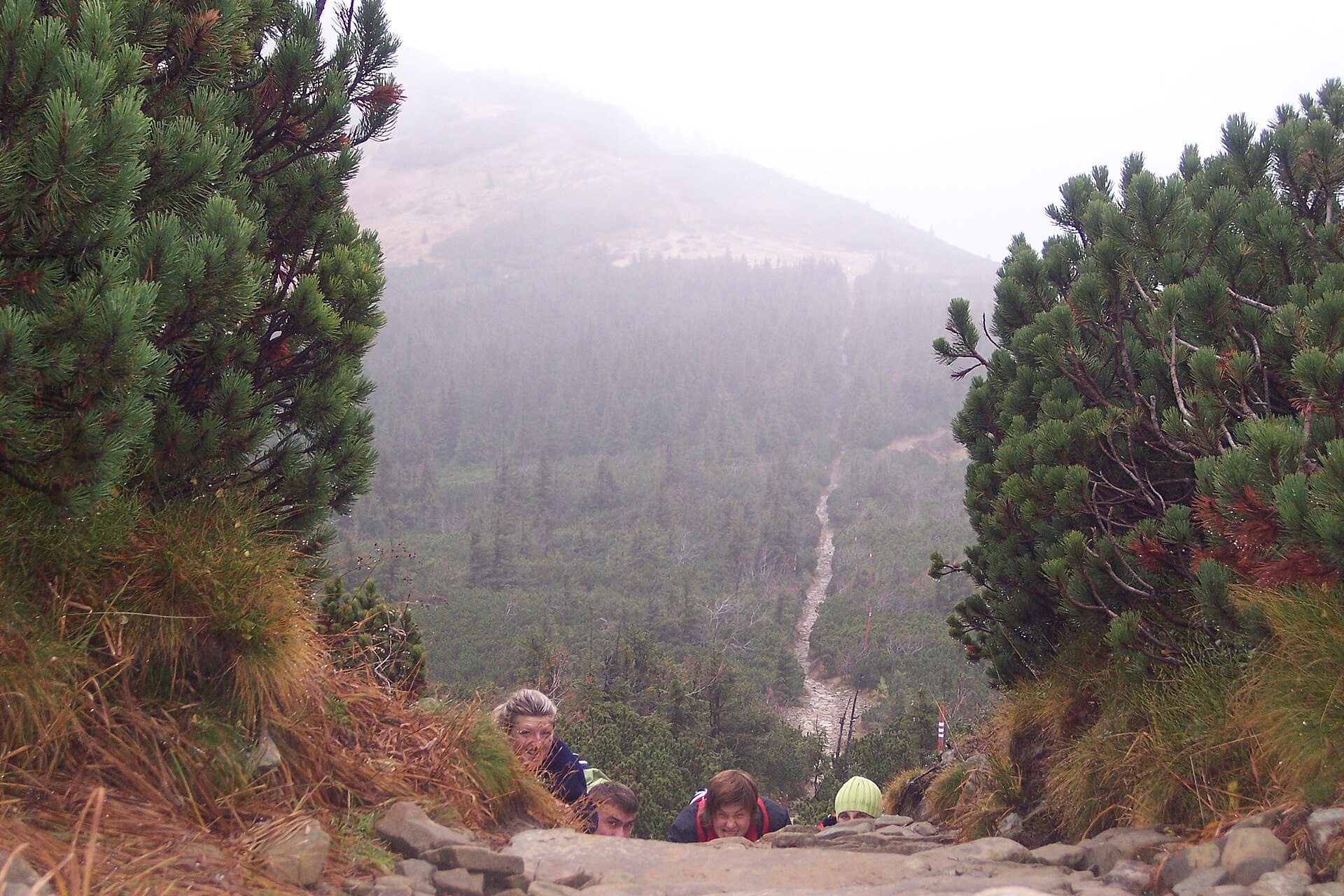
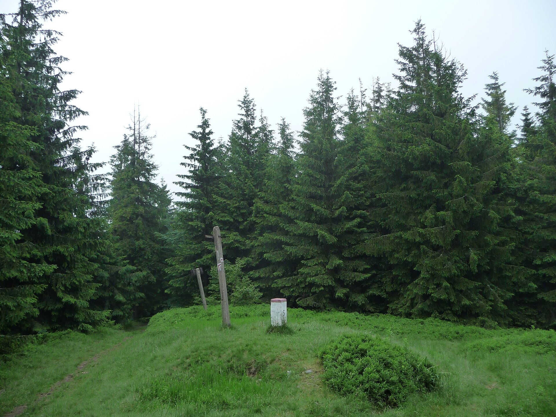
Photos: Artur Kozioł, CC BY-SA 3.0 (Wikimedia Commons); ANDREJ NEUHERZ, CC BY-SA 3.0 (Wikimedia Commons); ANDREJ NEUHERZ, CC BY-SA 3.0 (Wikimedia Commons); Mariusz Makar, CC BY-SA 3.0 (Wikimedia Commons); Ondřej Žváček, CC BY 2.5 (Wikimedia Commons); Pudelek, CC BY-SA 4.0 (Wikimedia Commons)
Oravská Polhora is a large village in the Námestovo District of the Žilina region, located in the northwestern part of Slovakia, right on the border with Poland. The village lies at the foot of the Żywiec Beskids, surrounded by scenic mountain landscapes. The northernmost point of Slovakia, Babia Góra (1725 m), is nearby, and rivers such as Glasná rieka, Dlhá voda, and Kalužovka flow through the area.
The first written mention of Oravská Polhora dates back to 1550, when royal commissioners visited the local salt springs. Further mentions appeared in 1580 and 1588. In 1938, following the Munich Agreement, Polish troops occupied the northern tip of the village, including the Jalovec peak.
Oravská Polhora is known for its forests, iodine-bromine springs, and traditional wooden architecture. The local salt springs, Slaná Voda, were already famous in the Middle Ages and became well-known in the 16th and 17th centuries. The village preserves rich cultural traditions, including folk woodcarving, and the local Orava dialect is still spoken here.
Visitors can explore a variety of trails such as Oravská Polhora, Pila – Lipnica Wielka, Oravská Polhora, Jednota – Mała Babia Góra, the Mila Urban Trail, Oravské Veselé – Pilsko, Skalisko – Biela farma, the Road to the Slovak “North Pole”, Mutné – Dudová, Mutné – Mutnianske sedlo, and the Hviezdoslav Alley. The Slaná Voda hut is located nearby, and the Pilsko peak is accessible for hiking.
Getting there from Ukraine
From Uzhhorod ≈275 km, ≈3 h 35 min without queues: Uzhhorod – Vyšné Nemecké → I/19 to Košice → D1 motorway via Prešov, Poprad and Liptovský Mikuláš to Ružomberok (≈270 km, ≈3 h 25 min from the border). From Lviv it is faster through Poland: M-10 → Krakovets – Korczowa → A4 to Kraków → S7/DK7 to the Chyżne – Trstená border → R3 and I/59 via Dolný Kubín to Ružomberok: ≈482 km, ≈6 h 15 min (via Uzhok and Ubľa ≈500 km, ≈7 h 30 min). The D1 requires an e-vignette (eznamka.sk).
Sources: Wikipedia, Wikidata, OpenStreetMap, Karpaty.rocks data. More on Wikipedia
Trails nearby
All trails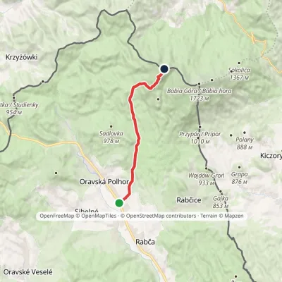 ModerateOne-dayMarkedOravská Polhora, Jednota Malá Babia HoraElevation profile676–1 517 m10.7 kmascent 858 m≈ 4.5 h walking1.3 km from the centre
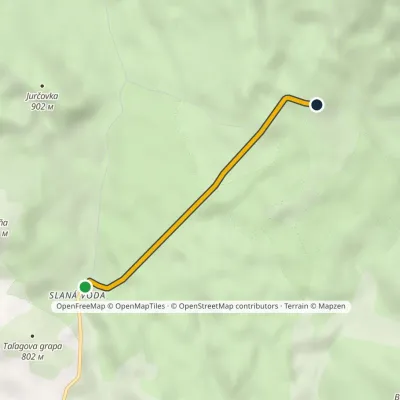 EasyOne-dayMarkedHviezdoslavova AlleyElevation profile743–892 m2.9 kmascent 143 m≈ 1 h walking2 km from the centre
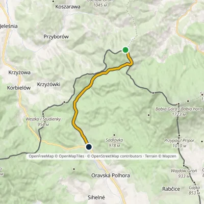 EasyOne-dayMarkedCesta na slovenský "severný pól"Elevation profile703–1 155 m11.9 kmascent 1 m≈ 3 h walking3.2 km from the centre
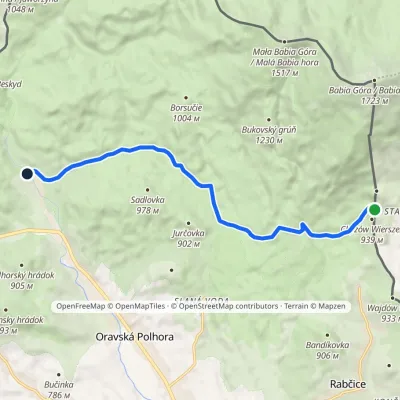 EasyOne-dayMarkedOravská Polhora, Píla Lipnica WielkaElevation profile720–927 m10.6 kmascent 140 m≈ 3 h walking3.6 km from the centre
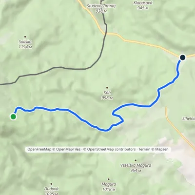 EasyOne-dayMarkedSkalisko Biela farmaElevation profile734–1 445 m7.4 km≈ 2 h walking4.2 km from the centre
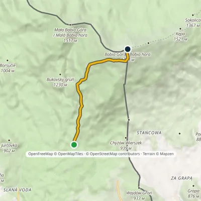 ModerateOne-dayMarkedTrail of Milo UrbanElevation profile886–1 723 m5.3 kmascent 842 m≈ 3 h walking4.6 km from the centre
Peaks nearby
All peaks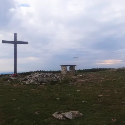
What to visit
All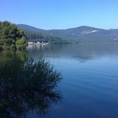 LakeOrava Reservoir and Slanica IslandNámestovo14 km from the centreOrava Reservoir (Oravská priehrada), jokingly called the “Orava Sea” by locals, lies in northern Slovakia, in the historic region of Orava, close to the Polish border.
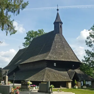 ChurchWooden Gothic Church of All Saints, TvrdošínTvrdošín22 km from the centreThe Wooden Gothic Church of All Saints (Kostol Všetkých svätých) stands in the cemetery of Tvrdošín in the Orava region, only a few dozen kilometres from the Polish...
Huts, shelters and springs nearby
Getting there from Ukraine
Border crossings
- Uzhhorod – Vyšné Nemecké — road, 24/7
- Malyi Bereznyi – Ubľa — road, 24/7 For cars and buses; pedestrians not confirmed by the Ukrainian border service, lorries up to 3.5 t.
- Mali Selmentsi – Veľké Slemence (pedestrian) — pedestrian, 09:00–21:00 Kyiv time Pedestrians and cyclists only; inconvenient for the Tatras without onward transport.
- Chop – Čierna nad Tisou (rail) — rail, 24/7
By car
From Uzhhorod ≈275 km, ≈3 h 35 min without queues: Uzhhorod – Vyšné Nemecké → I/19 to Košice → D1 motorway via Prešov, Poprad and Liptovský Mikuláš to Ružomberok (≈270 km, ≈3 h 25 min from the border). From Lviv it is faster through Poland: M-10 → Krakovets – Korczowa → A4 to Kraków → S7/DK7 to the Chyżne – Trstená border → R3 and I/59 via Dolný Kubín to Ružomberok: ≈482 km, ≈6 h 15 min (via Uzhok and Ubľa ≈500 km, ≈7 h 30 min). The D1 requires an e-vignette (eznamka.sk).
Checked 23.10.2026; border crossing hours and timetables change — check before you travel.
