Oravița
Caraș-Severin County · Romania
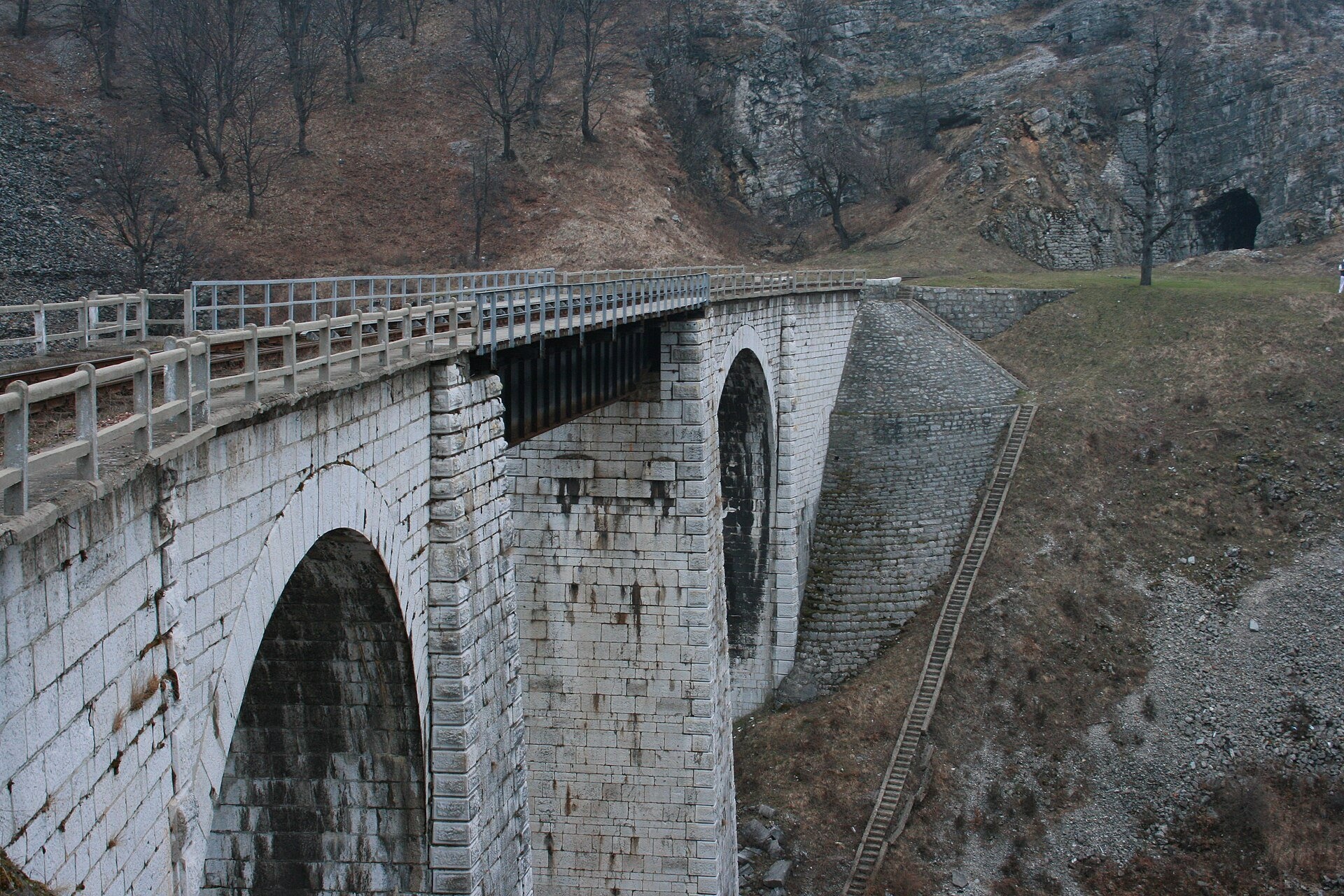
Oravița is a town in Romania.
Elevation: about 253 m above sea level. Population: 9,346 (2021).
Here and nearby on the site: 1 craft place.
Facts: Wikidata, OpenStreetMap. More on Wikipedia
Comments
Travellers’ experience: reports, tips, questions.
Share your experienceSign in to write a comment, an «I was here» report or ask a question. There are no anonymous comments — that keeps the conversation honest.
No ads, insults or other people’s contacts. The first comment of a new author is checked by hand.How we handle data
No one has written here yet. Be the first — your experience helps others.
What's nearby
What to visit
All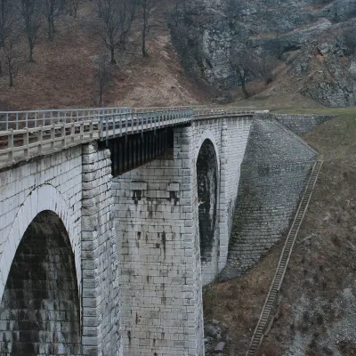 Heritage transportOravița–Anina Railway: the «Banat Semmering» mountain lineOravițaunder 1 km from the centreThe line between the small towns of Oravița and Anina in western Romania, in the Banat mountains, was built in 1860–1863.
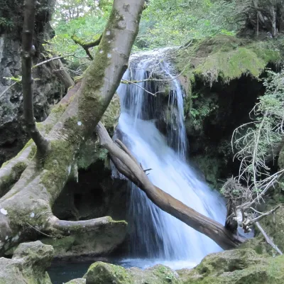 WaterfallBeușnița Waterfalls (Cascadele Beușniței)Socolari · Banat Mountains15 km from the centreheight 5–15 m358 m above sea levelThe Beușnița Waterfalls (Cascadele Beușniței) are a chain of cascades on the Beu river, a tributary of the Nera, above Ochiul Beiului lake in the southern Anina...
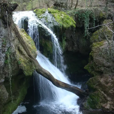 WaterfallLa Văioagă Waterfall (Cascada La Văioagă)Potoc · Banat Mountains15 km from the centreheight 6 m234 m above sea levelLa Văioagă Waterfall (Cascada La Văioagă) is a step on the Beu river, a tributary of the Nera, in the Anina Mountains, part of the Banat Mountains.
Getting there from Ukraine
Border crossings
- Porubne – Siret — road and pedestrian, 24/7
- Diakivtsi – Racovăț — road and pedestrian, 24/7 No freight traffic.
- Krasnoilsk – Vicovu de Sus — road and pedestrian, 08:00–20:00 Cars up to 3.5 t and pedestrians only; not 24/7.
- Solotvyno – Sighetu Marmației — road and pedestrian, 24/7 Passenger traffic only: vehicles up to 3.5 t with up to 9 seats, pedestrians.
- Diakove – Halmeu — road, 24/7 No pedestrian crossing.
By car
Rakhiv – Petroșani ≈450 km, ≈6 h 36 min (via Solotvyno – Sighetu Marmației); Ivano-Frankivsk – Petroșani ≈584 km, ≈8 h 55 min (via Solotvyno – Sighetu Marmației); Chernivtsi – Petroșani ≈539 km, ≈9 h 19 min (via Krasnoilsk – Vicovu de Sus). Times without border queues, our road routing (GraphHopper, OSM).
Checked 03.11.2026; border crossing hours and timetables change — check before you travel.
