Vârful lui Crai
Vârful lui Crai (Romanian: Vârful lui Crai, "King's Peak") is a summit with an elevation of 1,472 m (according to muntii-nostri.ro — 1,473 m) in the Buzău Mountains, on the Mucia-Telejenelului ridge above the Măneciu reservoir in Prahova County. Despite its modest height, as the route authors note, it makes up for it with wide panoramas. The nearest settlements are Slon (about 7.3 km as the crow flies), Valea Lespezii (about 8.5 km), Cheia and Mânăstirea Suzana (about 9.1 km).
Getting there / routes
The blue cross trail "Lacul Măneciu — Tabla Buții" passes by the summit. According to muntii-nostri.ro, it connects the Măneciu reservoir dam with the Tabla Buții saddle — the col between Ciucaș and the Tătaru Mare ridge. After crossing the dam, follow the road uphill to the ridge, cutting switchbacks on a path, to the relay towers below the Telejenelului summit, then more gently along the Mucia-Telejenelului ridge road through meadows and pastures with sheepfolds. Below Vârful lui Crai, near a roadside cross and spring, a short path branches off north to the summit. The entire route is long and strenuous: about 1,200 m elevation gain, 8–9 hours of walking (on another page of the same site — 23 km, about 9 hours and 1,235 m ascent).
Another description of this route (muntii-nostri.ro) mentions several sheepfolds and springs along the way, a cross with a rest area and a spring below the summit; the trail skirts the summit from the northeast. You can also reach the summit via the yellow triangle trail from the village of Slon (Cerașu commune). Nearby on the map are Spring below Vârful Gamaliei and Spring below Vârful lui Crai.
The view from the top
According to muntii-nostri.ro, from the summit you can see Zăganu, behind it — part of Ciucaș and the Grohotiș Mountains, the Măneciu reservoir where the route starts, the hills of Klebuchetele-Măneciului, the Siriu Mountains, and the distinct peak of Penteleu.
Nature and history
The route continues along the ridge past concrete structures, descends below the Menei summit to the Tabla Buții ridge, where battles of the First World War took place. Reminders include trenches, shelters, shell craters, and a maintained Heroes' Cemetery, where many unknown soldiers are buried; the crosses are decorated with tricolor cockades. There is also a stage, a small altar, a tribune, and something like a chapel. The road passes the ruins of the Tabla Buții fortress: nowadays, only forest roads and hiking trails cross the Tabla Buții saddle, or Tatar Pass, but in ancient and medieval times, an important trade route between Muntenia and Transylvania passed here, hence the fortress. From Tabla Buții, following the red stripe marking, you can continue to Ciucaș or to the Siriu massif.
Safety, season and rules
The route is long, so start early and bring enough water. In winter, according to muntii-nostri.ro, an untrodden path significantly increases the time needed. Bears are common in the Romanian Carpathians: do not leave marked trails, make noise, avoid hiking at dusk, and do not keep food in your tent; near sheepfolds, shepherd dogs may be aggressive — do not run, stop and shield yourself with your backpack (advice from Salvamont România).
In case of emergency, call the national mountain rescue dispatcher 0SALVAMONT — 0725 826 668 or 112.
Getting there from Ukraine
Border crossings
- Porubne – Siret — road and pedestrian, 24/7
- Diakivtsi – Racovăț — road and pedestrian, 24/7 No freight traffic.
- Krasnoilsk – Vicovu de Sus — road and pedestrian, 08:00–20:00 Cars up to 3.5 t and pedestrians only; not 24/7.
- Solotvyno – Sighetu Marmației — road and pedestrian, 24/7 Passenger traffic only: vehicles up to 3.5 t with up to 9 seats, pedestrians.
- Diakove – Halmeu — road, 24/7 No pedestrian crossing.
By car
Chernivtsi – Bușteni ≈426 km, ≈7 h 32 min (via Diakivtsi – Racovăț); Rakhiv – Bușteni ≈454 km, ≈8 h 01 min (via Solotvyno – Sighetu Marmației); Uzhhorod – Bușteni ≈557 km, ≈9 h 15 min (via Diakove – Halmeu). Times without border queues, our road routing (GraphHopper, OSM).
Checked 03.11.2026; border crossing hours and timetables change — check before you travel.
Comments
Travellers’ experience: reports, tips, questions.
No one has reported on this trail yet. Been here lately? Tell others what it is like now.
Water and shelter nearby
- Spring below Vârful Gamaliei1.4 km · Not verified · 1 371 m
- Spring below Vârful lui Crai1.8 km · Not verified · 1 246 m
Nearby attractions
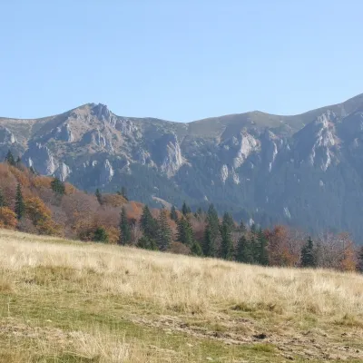 PeakZăganuCheiaaltitude 1 817 m8.4 km from Vârful lui CraiZăganu (Romanian Vârful Zăganu, Hungarian Zagán or Zákányos) is a 1,817 m summit and also the name of a whole rocky ridge in the Ciucaș Mountains, in the Curvature...
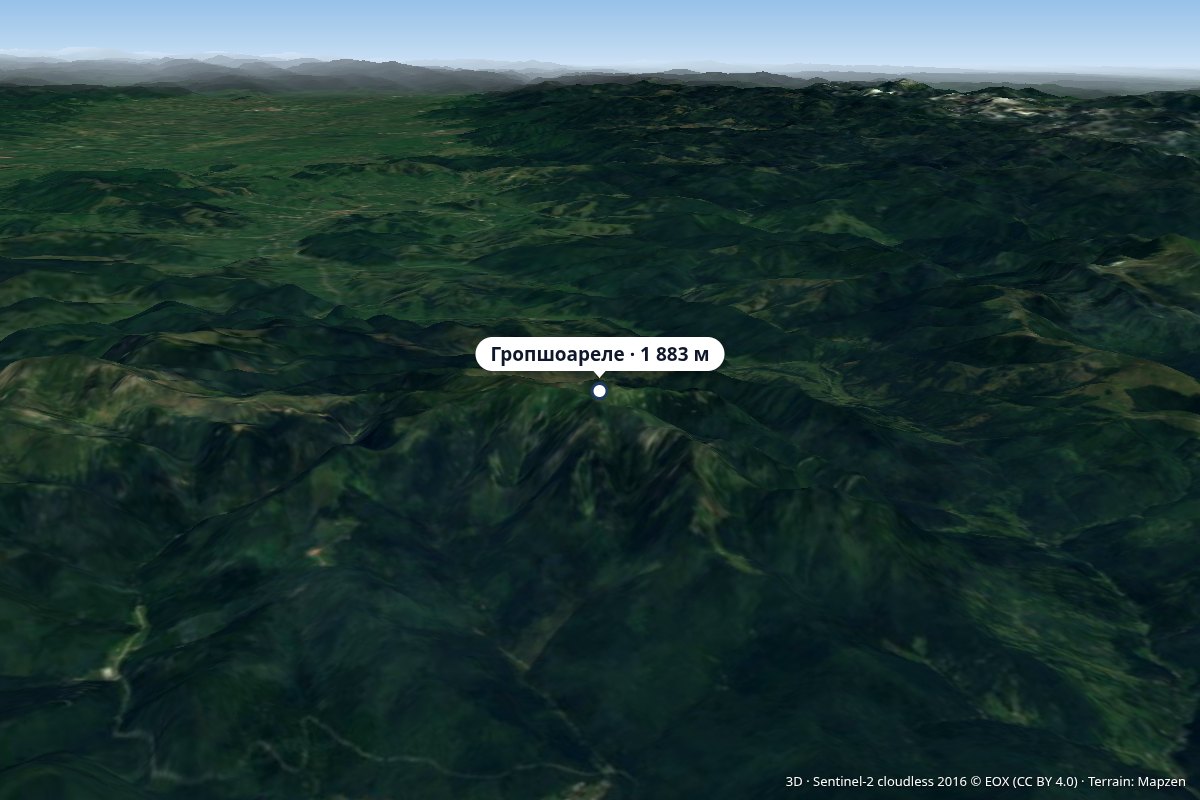 PeakGropșoareleCheiaaltitude 1 883 m9.2 km from Vârful lui CraiVârful Gropșoarele) is a 1,883 m peak in the Ciucaș Mountains, on the border of Prahova and Brașov Counties.
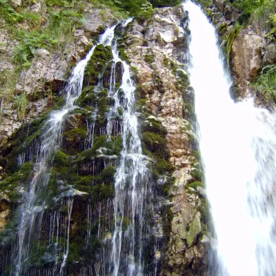 WaterfallUrlătoarea Waterfall (Cascada Urlătoarea)Bușteni · Bucegi Mountains41 km from Vârful lui Craiheight 15 m1 141 m above sea levelUrlătoarea Waterfall (Cascada Urlătoarea) is one of the best known in Romania. It lies on the eastern slope of the Bucegi Mountains, in the Bucegi Natural Park, very...
Craft nearby
All craft places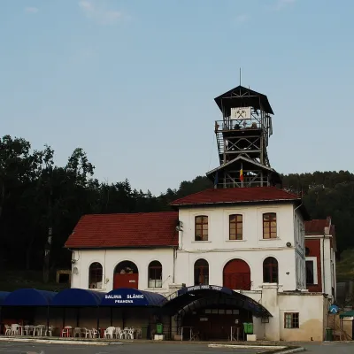 Water parks & thermal poolsSlănic Salt Mine: a 208 m deep microclimate and salt lakesSlănic22 km from Vârful lui CraiThe Slănic Salt Mine (Salina Slănic), or the Unirea mine (Mina Unirea), is one of Romania's best-known show salt mines.
 Water parks & thermal poolsCovasna: resort of a thousand springs, mofettes and heart careCovasna48 km from Vârful lui CraiCovasna is a spa town in Covasna County, at the south-eastern edge of the Eastern Carpathians, where the mountains bend round in the Curvature Carpathians.
